
Two marching camps of different size and date lie stacked on the same patch of ground — among the northernmost Roman camps ever built in Scotland.
In a quiet stretch of farmland east of the village of Ythanwells, a low earthen bank still traces the edge of a camp Roman soldiers threw up nearly two thousand years ago. It is one of two marching camps — temporary fortified enclosures built by troops on the move rather than permanent forts — that overlap on the same ground here, laid down at different times by armies passing through generations apart.
The camps sit at the headwaters of the River Ythan, where a cluster of natural springs still rises from the ground. That supply of fresh water was the practical reason Roman commanders chose this spot: a reliable place to water an army on campaign, on a route that also carried the Romans to forts as far south as Ardoch and as far north as Deer’s Den. The site is also known locally as Glenmailen, after the nearby farm of Glenmellan.
What makes Ythan Wells unusual is that the two camps are not the same age. A smaller enclosure, tied to the campaigns of the Roman general Agricola in the late 1st century AD, lies partly beneath a much larger camp built later. Together they let archaeologists watch Roman camp design change over time on a single piece of ground, which is a large part of why the site is protected today as a scheduled monument.
What follows is drawn from published sources, with each claim labelled by how firmly it is established.
History
During the campaigns of the Roman general Agricola in the late 1st century AD, soldiers laid out a smaller camp of around 13 hectares at the site, taking advantage of the natural springs at the headwaters of the River Ythan to water an army on the march deep into north-east Scotland.
A second, much larger camp of some 42 hectares was later built directly over part of the earlier camp's ground, its scale suggesting a far bigger force passed through than the army that raised the first enclosure. The two camps overlap only partially, leaving archaeologists a rare stratified sequence showing how Roman camp design and troop numbers changed across successive campaigns in the region.
In 1785 Colonel Alex Shand identified the larger of the two camps, recording an enclosure covering some 42 hectares — one of the earliest antiquarian records of a Roman camp in this part of Scotland. His find placed Ythan Wells, also known locally as Glenmailen, on the map of Roman military archaeology nearly two centuries before aerial photography would reveal the fuller picture.
In 1968 the archaeologist J. K. St Joseph identified a second, smaller camp of about 13 hectares underlying part of Shand's larger enclosure. Dating evidence tied this earlier camp to the campaigns of Agricola, confirming that Roman forces had used the springs at Ythan Wells on at least two separate occasions generations apart, each time building anew rather than reoccupying the earlier works.
The site is now protected as a scheduled monument, valued because part of its defences survive as an upstanding earthwork rather than only as cropmarks, giving archaeologists real potential to recover artefacts and ecofacts. Historic Environment Scotland regards Ythan Wells as one of a linear group of unusually large camps in north-east Scotland, among the northernmost such camps anywhere in the country.
People
-
Colonel Alex Shand
Identified and recorded the larger of the two Roman camps at the site in 1785.
-
J. K. St Joseph
Discovered the smaller, earlier camp underlying the larger enclosure in 1968 and dated it to the campaigns of Agricola.
-
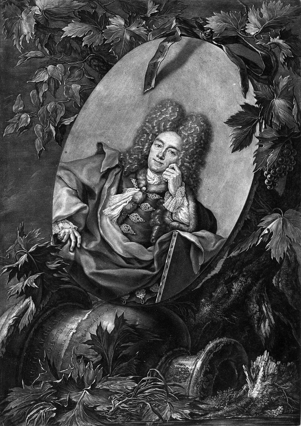
Portrait: Bernhard Vogel / Wikimedia Commons / Public domain Agricola
Roman general whose late 1st-century AD campaigns in north-east Scotland are associated with the smaller, earlier camp at Ythan Wells.
Cultural influences
-
Roman military route
The two camps belong to the Roman campaigning route through north-east Scotland, where successive armies used a chain of temporary enclosures and water sources rather than permanent urban bases.
Connections
-
Deer's Den
The next camp south along the same chain of Roman marching camps leading up through north-east Scotland to Ythan Wells.
-
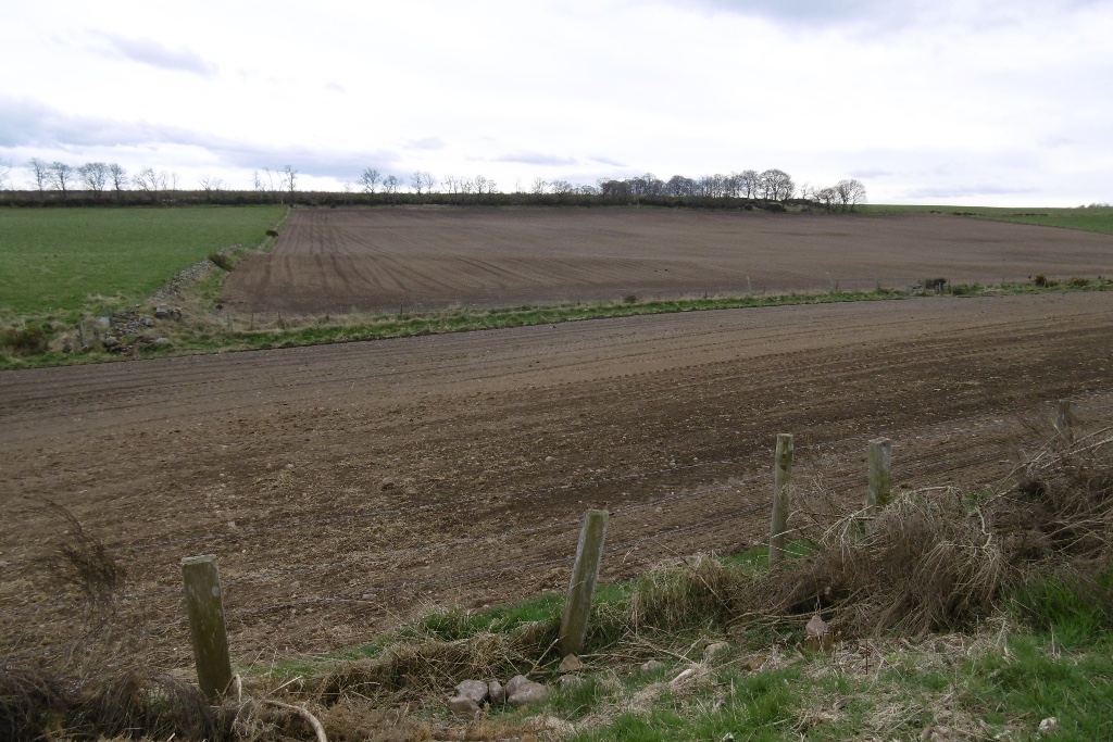
Photo: Richard Webb / Wikimedia Commons / CC BY-SA 2.0 Part of the same Roman route north, reached via the Elsick Mounth pass before the chain continued on to Ythan Wells.
-
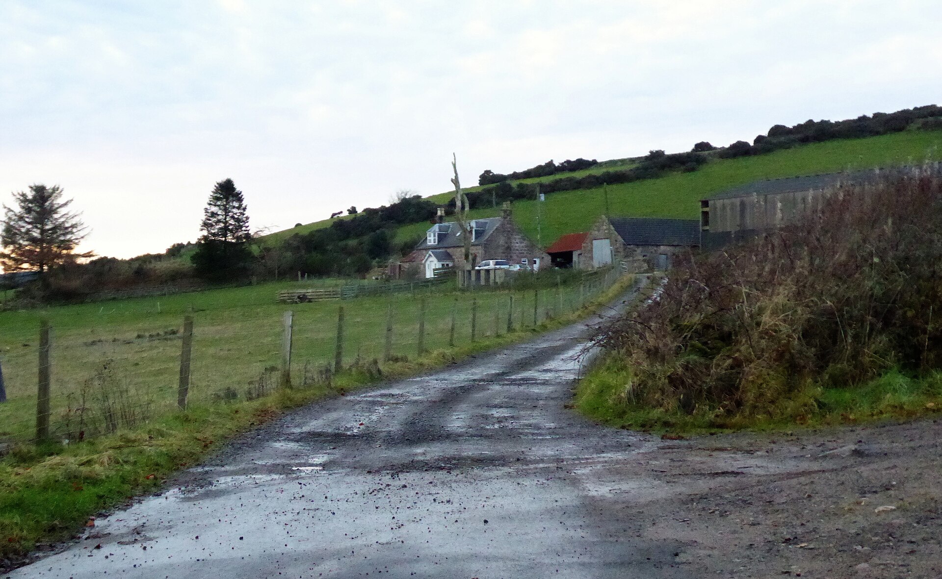
Photo: Stanley Howe / Wikimedia Commons / CC BY-SA 2.0 One of the chain of large Roman forts and camps, including Ardoch, Strageath and Inchtuthil, that this route linked on the way to Ythan Wells.
-
Cawdor (Roman Fort)
A related Roman military site in Scotland, grouped alongside Ythan Wells as a comparable monument.
-

Photo: Oliver Dixon / Wikimedia Commons / CC BY-SA 2.0 Another group of Roman marching camps in Scotland comparable to those at Ythan Wells.
Discovery & excavation
Ythan Wells was recognised in two separate stages nearly two centuries apart. Colonel Alex Shand first noted the larger camp in 1785 from traces visible in the landscape, while J. K. St Joseph used aerial photography in 1968 to reveal the smaller, earlier camp beneath it and was able to date that earlier work to the campaigns of Agricola.
What to look for
-
Upstanding earthwork
Part of the camp defences survives as a visible earthen bank rather than only as below-ground traces, giving the site unusually good potential for preserved remains.
-
Two overlapping enclosures
The larger camp's perimeter overlaps only part of the smaller, earlier enclosure beneath it, the two differing clearly in scale — 42 hectares against 13 hectares.
-
The springs at the River Ythan's headwaters
A cluster of natural springs still rises near the site, the same water source that made this spot practical for a Roman army on the march.
Plan your visit
- Location
- 57.4324°N · 2.5762°W
- Nearest settlement
- Huntly
- Access
- Visible from a public way
- Terrain
- Easy going
- Time needed
- About 30 minutes
- Best time
- Clear daylight, when the surviving earthwork and the spring-fed setting can be understood.
- What survives
- Part of the camp defences survives as an upstanding earthwork; the two overlapping camps are otherwise largely below ground.
- Facilities
- No visitor facilities are recorded.
Opening & admission
No current admission details are recorded — check the managing body's site before travelling.
Nearby places
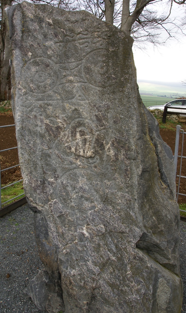
Carved stone · Pictish & early medieval
Picardy Symbol Stone
Aberdeenshire
A double-disc, a serpent and a mirror cut into whinstone around AD 600: three of the clearest Pictish (of the Picts, the people of northern and eas…
- Near Insch
- Easy path
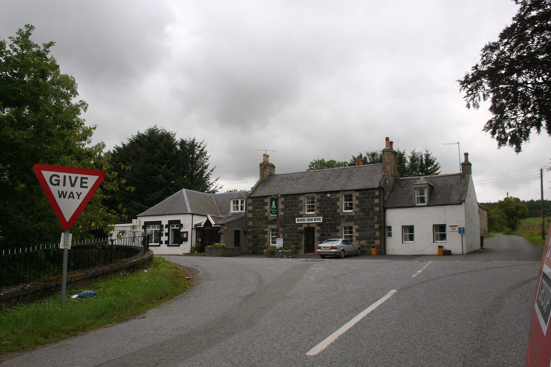
Sacred place · Prehistoric
Yonder Bognie
Aberdeenshire
One of more than seventy recumbent stone circles unique to lowland Aberdeenshire, its closest architectural parallels lie not in Scotland but in so…
- Near Huntly
- Easy path

Sacred place · Prehistoric
Inschfield stone circle
Aberdeenshire
Only three stones survive from a ring that once spanned some 27 metres: a fragment of Aberdeenshire's rare recumbent stone circle tradition, now le…
- Near Insch
- Some walking
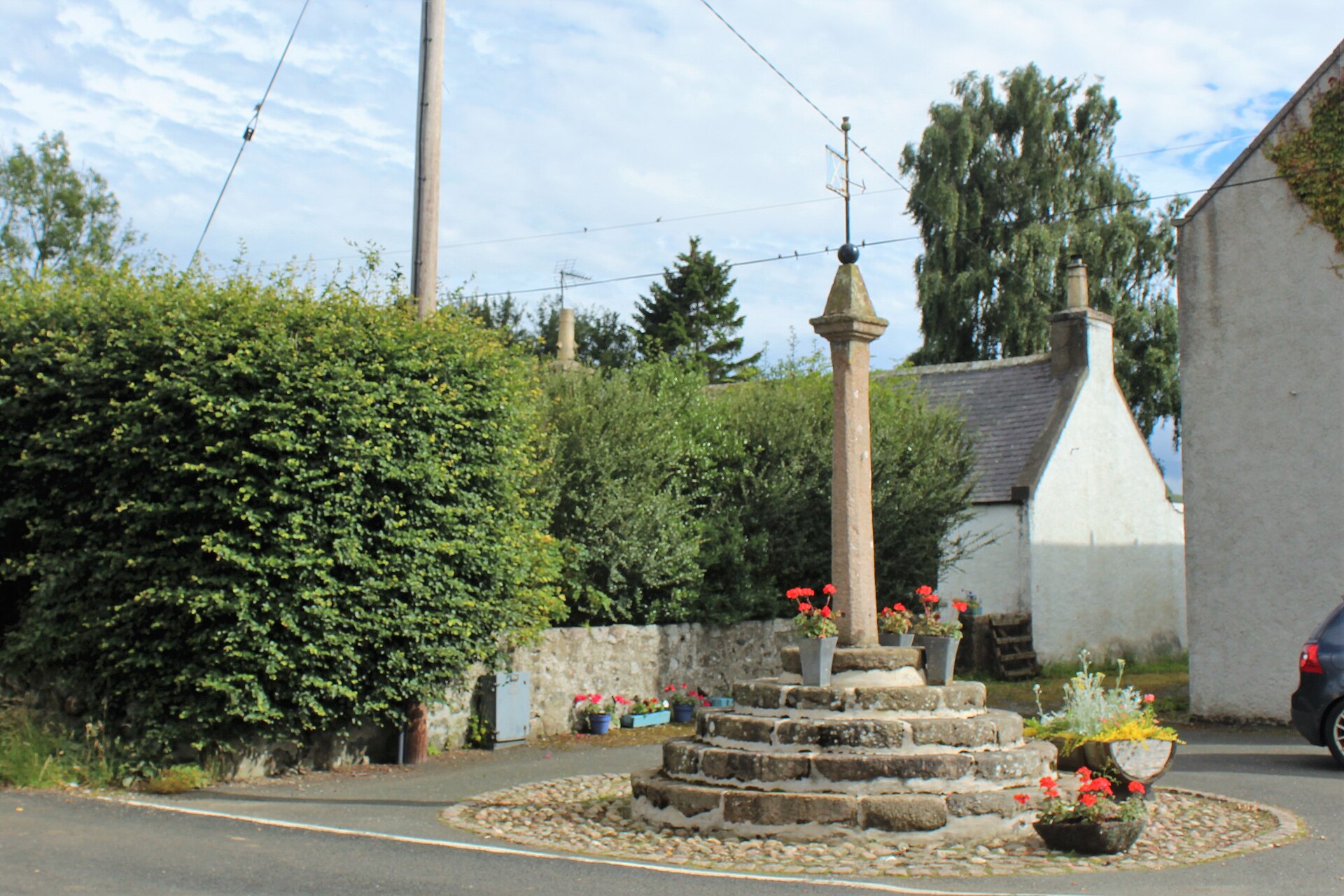
Minor monument · Medieval
Market Cross, Old Rayne
Aberdeenshire
A granite market cross on five circular steps preserves Old Rayne’s status as a burgh of barony created in 1492.
- Easy path
The setting
Headwater landscape of the River Ythan near Ythan Wells; the Roman camps are not visible.
Photo: Anne Burgess / Wikimedia Commons / CC BY-SA 2.0
River Ythan landscape near the Roman camps at Ythan Wells; the earthworks are not visible.
Photo: Anne Burgess / Wikimedia Commons / CC BY-SA 2.0
Questions people ask
- What is Ythan Wells?
- A Roman military site near Ythanwells, Aberdeenshire, also called Glenmailen, where two overlapping marching camps of different sizes and dates survive as a scheduled monument.
- How many Roman camps are there at the site?
- Two: a larger camp of about 42 hectares and a smaller, earlier camp of about 13 hectares that partly underlies it, discovered at different times.
- When was Ythan Wells discovered?
- The larger camp was recorded in 1785 by Colonel Alex Shand; the smaller, earlier camp was identified in 1968 by J. K. St Joseph and dated to Agricola's campaigns.
- Why is Ythan Wells nationally important?
- It is among the northernmost Roman camps in Scotland, and its two superimposed camps of different size and date help scholars trace how Roman camp design changed over time.
- Can the remains still be seen today?
- Yes — part of the camp defences survive as an upstanding earthwork rather than only as buried traces, giving good potential for further archaeological discoveries.
Sources
- Wikipedia: Ythan Wells
- Historic Environment Scotland — Scheduled Monument record
- Wikidata: Ythan Wells (Q2900409)
Explore more: Fortified places · Roman · Aberdeenshire
The Ancient Codex, in your pocket
Get the Pocket Codex app
Carry the directory with you — Ythan Wells and thousands of ancient places across Britain and Ireland, offline, wherever you roam.