
A Roman marching camp misread for fifty years as a Danish fort, its true imperial origin restored only when its rectangular plan gave the game away.
At Normandykes, the surviving bank-and-ditch enclosure is easiest to picture from its edge: a raised line running across the hill above the River Dee, southwest of Peterculter, then turning down the eastern slope. The camp once measured roughly 860 by 510 metres, large enough for a substantial Roman force on the move. It was a marching camp, a temporary defended halt rather than a permanent fort or settlement.
For much of its recorded history the site was misunderstood. First noted in 1795 as “Norman’s Dyke,” it was assigned to Danish raiders rather than Roman soldiers, an identification that lasted until the New Statistical Account of 1845 recognised the regular rectangular plan as Roman. The camp sits roughly six miles north of a sister camp at Raedykes, a march that should have taken less than half a day but likely took closer to a full one, since the direct route crossed Red Moss, a bog near Netherley judged too treacherous to cross.
The earthworks were not formally investigated until 1935, when Richmond and MacIntyre carried out the first excavation, and aerial photographs taken between 1947 and 1976 have since added to the record of its shape and extent. Today the site is protected as a scheduled monument, its banks and ditches still legible on the hill above the Dee valley and the road that now runs below it.
What follows is drawn from published sources, with each claim labelled by how firmly it is established.
The name
The name derives from "Norman's Dyke," the label under which the earthwork was first recorded in 1795. Taken at face value at the time, it encouraged the mistaken idea of a Danish origin; once the site was reassigned to the Romans in 1845 the old name persisted, gradually contracting into its present form, Normandykes.
History
During the Antonine period of the mid-2nd century, or perhaps later under the Severan campaigns of the early 3rd, Roman soldiers raised a marching camp on the summit and eastern slopes of a hill above the River Dee, southwest of what is now Peterculter. The near-rectangular enclosure, some 860 by 510 metres and covering about 106 acres, stood roughly 6 miles north of the camp at Raedykes, itself less than half a day's march away.
Reaching Raedykes on foot probably took closer to a full day, since the direct line between the two camps crossed Red Moss, a bog near present-day Netherley judged virtually impassable. Roman columns marching south are thought to have taken a longer route around the moss rather than risk the shorter but treacherous crossing, adding hours to what the map distance alone would suggest.
In 1795 the earthwork was first recorded under the name Norman's Dyke, and antiquarian opinion treated the name as evidence of a Danish camp rather than a Roman one. That identification held for half a century, shaping how the site was described and understood by the surveyors and clergymen who compiled early local accounts of the parish.
The New Statistical Account of 1845 overturned the Danish reading, reassigning the earthwork to the Romans on the strength of its regular, rectangular plan, a form quite unlike the enclosures normally attributed to Dark Age or Norse builders. The corrected identification has held ever since, and the name Norman's Dyke gradually settled into its present form, Normandykes.
The camp was not excavated until 1935, when Richmond and MacIntyre carried out the first formal investigation of the site, examining its earthworks to establish the character and likely date of construction. Their work placed the camp firmly within the sequence of temporary Roman camps built during the northern campaigns of the 2nd and 3rd centuries.
Between 1947 and 1976, aerial photographs of Normandykes were taken and archived, adding a record of the camp's earthwork outline from above at a series of points across three decades. Combined with the 1935 excavation, this photographic record underpins the scheduled monument protection the site now carries.
People
-
Richmond
Co-led the first excavation of Normandykes in 1935, helping establish its Roman, Antonine-to-Severan date.
-
MacIntyre
Co-led the first excavation of Normandykes in 1935 alongside Richmond.
Connections
-

Photo: C Michael Hogan / Wikimedia Commons / CC BY-SA 2.0 A Roman marching camp roughly 6 miles south of Normandykes, linked to it by a march route that skirted the impassable Red Moss bog near Netherley.
-

Photo: Colin Walker / Wikimedia Commons / CC BY-SA 2.0 Peterculter
Normandykes lies about a mile southwest of this settlement, on the boundary of the City of Aberdeen.
-
Deers Den
The temporary camps at Deers Den, Kintore are part of the confirmed sequence north of Raedykes; their principal date is associated with the Severan campaigns, contrasting with the possible Antonine or Severan date of Normandykes.
-
Glenmailen
Glenmailen, also known as Ythan Wells, contains two Roman temporary camps. The larger is considered Agricola-period, making it part of the wider sequence of northern Roman campaigning that includes Normandykes.
-
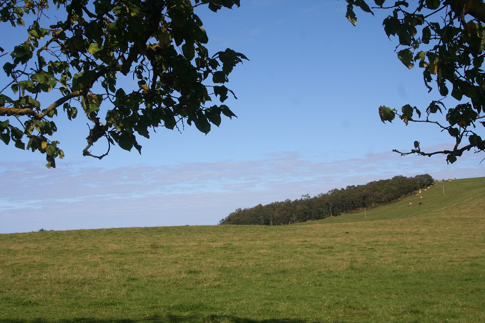
Photo: Andrew Wood / Wikimedia Commons / CC BY-SA 2.0 Muiryfold is a roughly 109-acre Roman temporary camp identified by aerial survey in 1959; it belongs with Normandykes, Raedykes, Ythan Wells and Kintore in the similarly sized ‘120-acre’ series of camps.
Discovery & excavation
Normandykes went unexcavated for well over a century after its earthwork was first recorded. Richmond and MacIntyre's 1935 excavation was the first formal investigation, and aerial photographs taken between 1947 and 1976 subsequently added an overhead record of the camp's outline, together forming the evidential basis for its scheduling as a monument.
What to look for
-
The near-rectangular perimeter
The camp's defining feature is its regular, near-rectangular plan, roughly 860 by 510 metres, enclosing about 106 acres across the summit and eastern slopes of the hill.
-
The hillside position over the Dee
The camp occupies rising ground overlooking the River Dee, with the B9077 road running below to the south — a siting that gave Roman troops a commanding view over the valley route.
Plan your visit
- Location
- 57.0853°N · 2.2824°W
- Access
- Open access
- Time needed
- About 45 minutes
Opening & admission
Free to visit; check the managing body's site before travelling for any current access details.
- A Roman marching camp on a hill summit and eastern slopes, so approach involves some rise in ground.
Nearby places
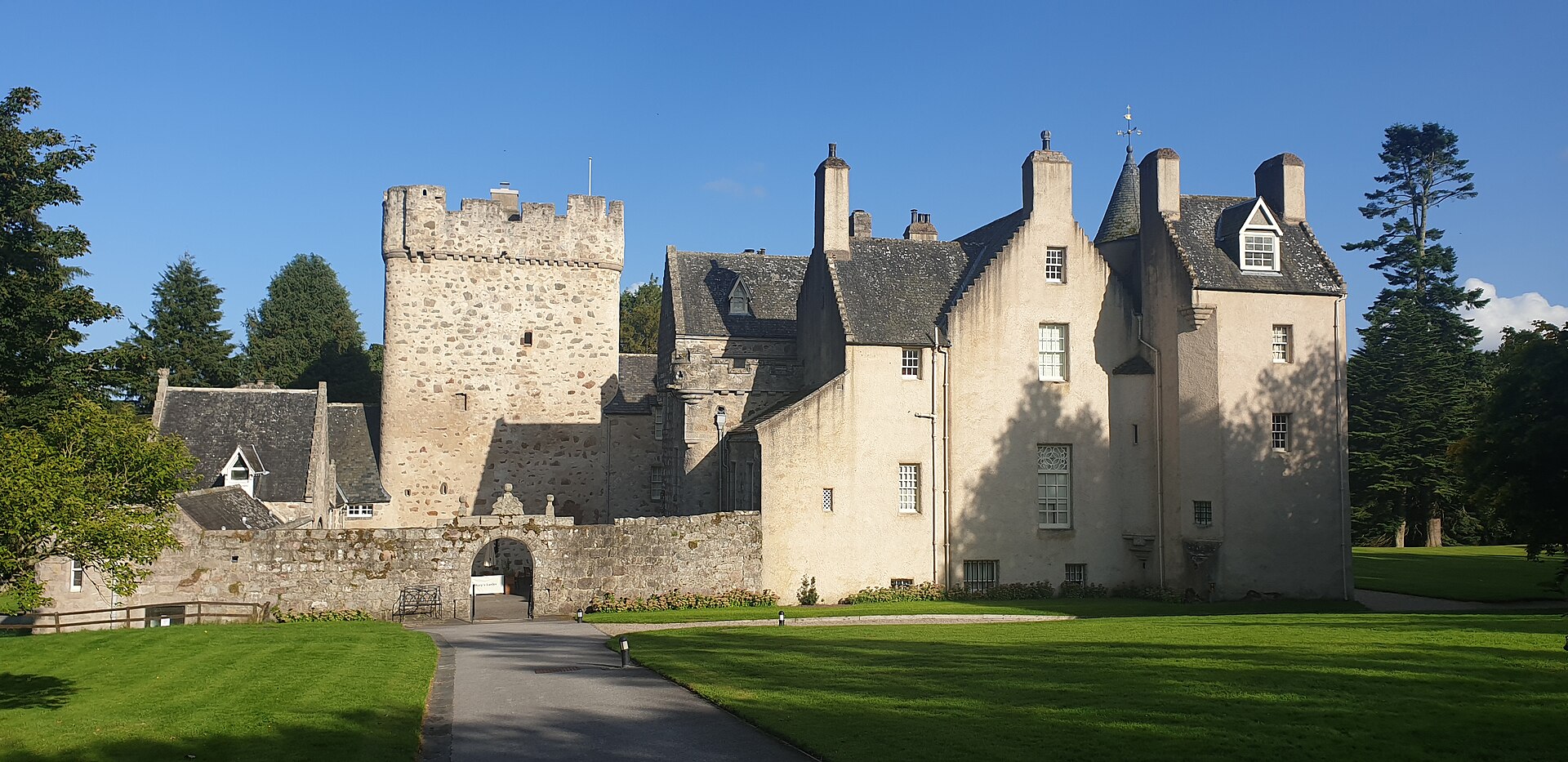
Fortified place · Medieval
Drum Castle
Aberdeenshire
One of only three 13th-century tower houses in Scotland to survive largely unaltered, and held unbroken by one family, the Irvines, for roughly 650…
- Easy path
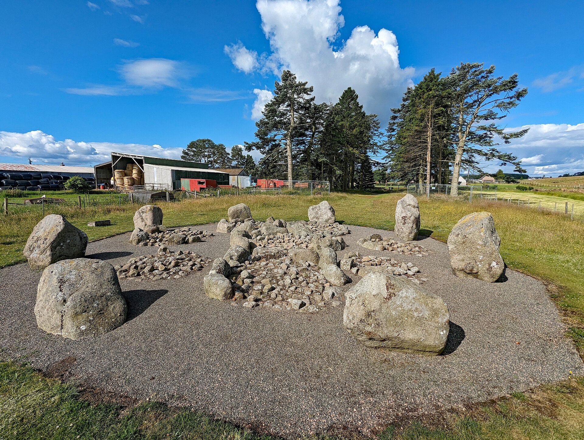
Sacred place · Prehistoric
Cullerlie stone circle
Aberdeenshire
Each of its eight cairns is fenced by its own ring of kerbstones and holds cremated remains, making the circle a burial ground built inside a ring…
- Near Echt
- Easy path
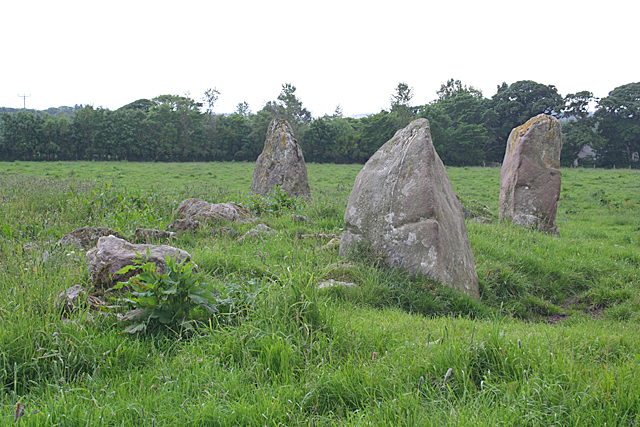
Sacred place · Prehistoric
Aquhorthies stone circle
Aberdeenshire
One of Aberdeenshire's recumbent stone circles built with two rings rather than one, its unusual forecourt and alternating stone heights have puzzl…
- Near Inverurie
- Easy path
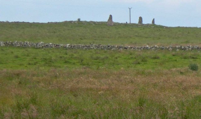
Sacred place · Prehistoric
Auld Bourtreebush
Aberdeenshire
Long dismissed as a recumbent stone circle like its neighbour at Aquhorthies, modern scholarship has overturned that reading, restoring Auld Bourtr…
- Near Portlethen
- Some walking
The setting
Former Deeside Railway trackbed near Normandykes.
Photo: Richard Webb / Wikimedia Commons / CC BY-SA 2.0
End of the former railway line near Normandykes.
Photo: Ralph Greig / Wikimedia Commons / CC BY-SA 2.0
Deeside Way trackbed and surrounding fields near Normandykes; the Roman camp earthwork is not visible.
Photo: Richard Webb / Wikimedia Commons / CC BY-SA 2.0
Tree-lined field edge at Normandykes; the surviving Roman camp earthwork is not visible.
Photo: Alan Findlay / Wikimedia Commons / CC BY-SA 2.0
Questions people ask
- What is Normandykes?
- Normandykes is a Roman marching camp near Peterculter, in the City of Aberdeen, built during the Antonine or Severan periods of Roman campaigning in Scotland.
- Why is it called Normandykes?
- The earthwork was first recorded in 1795 as Norman's Dyke and mistaken for a Danish camp; the New Statistical Account of 1845 corrected the identification to Roman.
- How big is the camp?
- The near-rectangular enclosure measures roughly 860 by 510 metres, covering about 106 acres of a hillside above the River Dee.
- When was Normandykes excavated?
- Richmond and MacIntyre carried out the first excavation in 1935, and aerial photographs taken between 1947 and 1976 added further record of its earthworks.
- Is Normandykes protected today?
- Yes, Normandykes is a scheduled monument, recognising its importance as a surviving Roman marching camp in Aberdeenshire.
Sources
- Wikipedia: Normandykes
- New Statistical Account of Scotland (1845)
- Historic Environment Scotland — scheduled monument record
Explore more: Building or ruins · Roman · Aberdeen City
The Ancient Codex, in your pocket
Get the Pocket Codex app
Carry the directory with you — Normandykes and thousands of ancient places across Britain and Ireland, offline, wherever you roam.