
Long dismissed as a recumbent stone circle like its neighbour at Aquhorthies, modern scholarship has overturned that reading, restoring Auld Bourtreebush's own identity.
West of Portlethen, four uprights and several fallen stones mark part of a ring that may once have held fifteen. The original monument was about 25 metres across and Neolithic — from the first farming age, roughly 4000–2500 BC — while a central cairn, a mound of piled stones that can cover a burial, has disappeared.
The circle keeps close company. The recumbent stone circle at Aquhorthies stands near enough to be seen from Auld Bourtreebush, and the ancient trackway known as the Causey Mounth, a route built along high ground to make the crossing between the coastal Lowlands and the Highlands passable, runs close by as well. For centuries this stretch of high ground carried travellers between Stonehaven and Aberdeen, long after the people who raised the stones had gone.
For much of its recorded history, the site was assumed to belong to the same recumbent tradition as its neighbour at Aquhorthies — a design in which one great stone is laid on its side between two uprights. Current archaeological opinion has since rejected that reading, and Auld Bourtreebush is now recognised as a scheduled monument with its own distinct form.
What follows is drawn from published sources, with each claim labelled by how firmly it is established.
History
During the Neolithic period, prehistoric builders raised a great ring of standing stones on high ground near what is now Portlethen, positioning as many as fifteen orthostats around a circle some 25 metres across. Within the ring they built a stone cairn, using the enclosed space for burial or ceremony, in keeping with the wider Aberdeenshire tradition of circles paired with cairns.
Over the centuries that followed, the monument slowly broke apart: the ring cairn at its centre was destroyed and its stones lost or dispersed, while all but four of the original uprights toppled, leaving several lying fallen around the perimeter of the circle where they can still be traced today.
During the medieval period, the Causey Mounth was laid out on high ground close to the circle, becoming the only passable route linking the coastal south to Aberdeen. Built to carry travellers over difficult terrain, it ran from the River Dee crossing near Aberdeen through Portlethen Moss and past Muchalls Castle to Stonehaven, fixing the stone circle's place beside a road of real strategic importance.
In 1639, during the Civil War, William Keith, 7th Earl Marischal, and the Marquess of Montrose led a Covenanter army of some 9,000 men along the Causey Mounth past the circle, marching the same high route travellers had used for centuries to reach Aberdeen from the south, a sign of how important this stretch of trackway remained even in a national conflict.
For much of its later history Auld Bourtreebush was classified as a recumbent stone circle, a regional type distinguished by one large stone laid on its side between two flankers, but current archaeological opinion has overturned that reading. It survives instead as a scheduled monument recognised in its own right, distinct from the recumbent circle at nearby Aquhorthies.
People
-
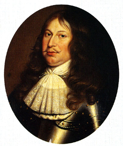
Portrait: Unidentified painter / Wikimedia Commons / Public domain William Keith, 7th Earl Marischal
Led a Covenanter army of some 9,000 men along the Causey Mounth past the stone circle during the Civil War in 1639.
-
Marquess of Montrose
Co-led the same 9,000-strong Covenanter army along the Causey Mounth past the circle in 1639.
Cultural influences
-
Aberdeenshire stone-circle tradition
Auld Bourtreebush belongs to the prehistoric stone-circle landscape of south Aberdeenshire, while modern scholarship distinguishes it from the nearby recumbent circle at Aquhorthies.
Connections
-
_(geograph_4551791).jpg?width=320)
Photo: Anne Burgess / Wikimedia Commons / CC BY-SA 2.0 Aquhorthies recumbent stone circle
Stands close enough to be seen from Auld Bourtreebush and was the basis for the site's mistaken classification as a recumbent circle.
-
Causey Mounth
This ancient trackway runs close to the stone circle, linking it to the medieval route between Aberdeen and Stonehaven.
-
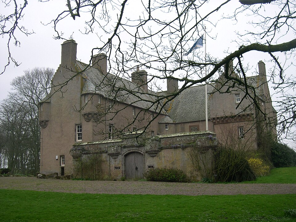
Photo: Anlace / Wikimedia Commons / Public domain Muchalls Castle
Named as a waypoint on the Causey Mounth route that passes near the stone circle on its course to Stonehaven.
What to look for
-
Four surviving standing stones
Four of the original orthostats remain upright, marking out part of the circle's 25-metre circumference, while several others lie fallen where they toppled.
-
The site of the vanished ring cairn
A stone cairn once stood at the centre of the ring; though it has since been destroyed, its former position lies within the circle of stones.
-
Sightline to Aquhorthies
The recumbent stone circle at Aquhorthies stands near enough to be seen from Auld Bourtreebush, allowing the two monuments to be compared directly on site.
Plan your visit
- Location
- 57.0558°N · 2.1606°W
- Nearest settlement
- Portlethen
- Access
- Open access
- Terrain
- Moderate walking
- Time needed
- About 45 minutes
- Best time
- Daylight is the most useful time to see the monument and assess the approach.
- What survives
- Four standing stones remain from a circle formerly estimated at about fifteen uprights; several more stones lie fallen and the central ring cairn has been destroyed.
- Facilities
- No visitor facilities are provided at the stone circle; plan for rural or roadside conditions.
Opening & admission
Free to visit, but check current access arrangements before travelling.
- A scheduled monument standing in open countryside near Portlethen, with only four of its original stones still upright.
Nearby places
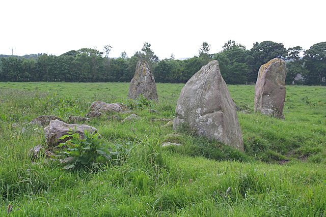
Sacred place · Prehistoric
Aquhorthies stone circle
Aberdeenshire
One of Aberdeenshire's recumbent stone circles built with two rings rather than one, its unusual forecourt and alternating stone heights have puzzl…
- Near Inverurie
- Easy path
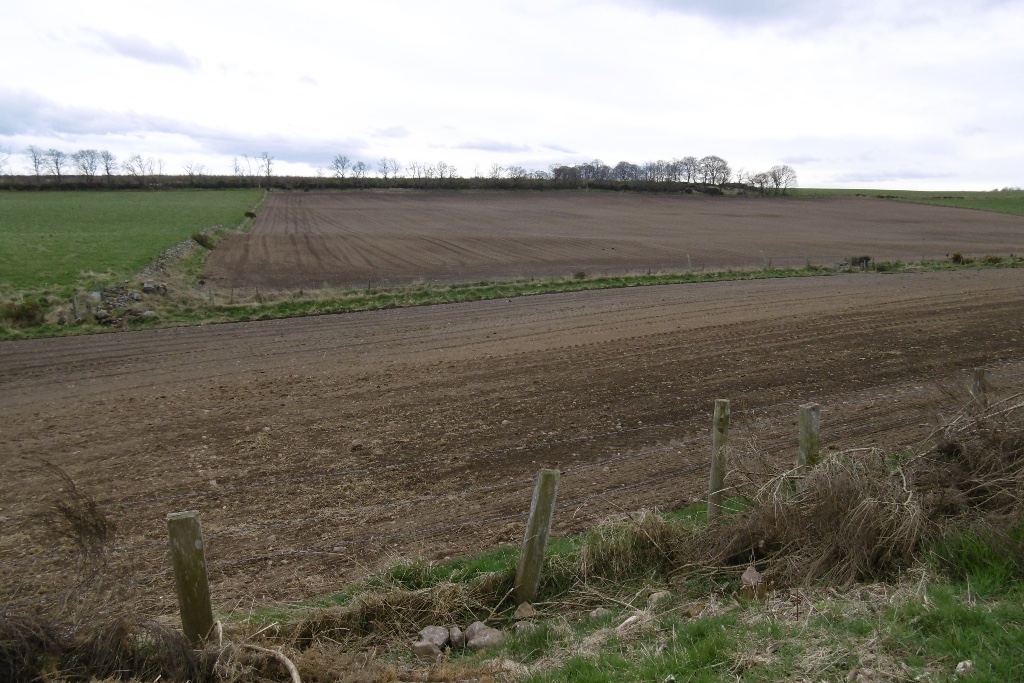
Building or ruin · Roman
Normandykes
Aberdeen City
A Roman marching camp misread for fifty years as a Danish fort, its true imperial origin restored only when its rectangular plan gave the game away.
Fortified place · Roman
Raedykes
Aberdeenshire
A computer model of its roughly 93-acre rampart (an encircling bank built for defence) suggests room for three legions -- some 16,000 men -- making…
- Near Stonehaven
- Some walking
Carved stone · Pictish & early medieval
Lang Stane of Auquhollie
Aberdeenshire
Carved in Ogam: an alphabet devised for Irish, not Pictish, speech: the stone has anchored more than a century of scholarly argument over how far I…
- Near Stonehaven
- Some walking
Questions people ask
- What is Auld Bourtreebush?
- A large Neolithic stone circle near Portlethen in Aberdeenshire, about 25 metres across and also known as Old Bourtree Bush.
- How many of the original stones remain standing?
- Of an estimated fifteen original orthostats, only four still stand upright, with several more lying fallen nearby.
- Was Auld Bourtreebush a recumbent stone circle?
- It was once classified as one, but current archaeological opinion rejects that reading, distinguishing it from the recumbent circle at nearby Aquhorthies.
- What is the Causey Mounth?
- An ancient trackway on high ground near the circle, the only passable medieval route linking Aberdeen to Stonehaven and the Highlands beyond.
- Is Auld Bourtreebush a protected site?
- Yes, it is a scheduled monument, recognised for its archaeological importance in Aberdeenshire.
Sources
The Ancient Codex, in your pocket
Get the Pocket Codex app
Carry the directory with you — Auld Bourtreebush and thousands of ancient places across Britain and Ireland, offline, wherever you roam.