
A computer model of its roughly 93-acre rampart (an encircling bank built for defence) suggests room for three legions -- some 16,000 men -- making Raedykes one of the largest Roman camps recorded in Scotland.
Garrison Hill’s summit and eastern slopes hold a vast Roman camp above the Cowie Water near Stonehaven, its ditches and banks following the hillside. Six gateways once pierced the rampart, each shielded by a titulus — a short protective bank set just inside the entrance — and five gateways can still be picked out on the ground, while the soil-built defences have endured nearly two thousand years of farming and weather.
The camp was raised, most probably, in the closing decades of the first century AD, when Roman forces under the general Agricola pushed into the north and built a chain of forts and marching camps stretching from Strathallan to the Moray coast. Some scholars argue instead for a later origin, in the second-century Antonine period or even the early third century under Septimius Severus, when many of the same sites were reoccupied as Rome renewed its northern campaigns.
Its scale hints at why the debate matters: a computer model of the roughly 93-acre enclosure suggests it could have sheltered as many as three legions, some 16,000 men, on the march. Some have gone further still, proposing the ground around Raedykes and neighbouring Kempstone Hill as the likely site of the battle of Mons Graupius in 84 AD, where Agricola defeated the massed tribes of Caledonia — though the claim remains disputed, with Bennachie in the north still argued as a rival candidate.
What follows is drawn from published sources, with each claim labelled by how firmly it is established.
History
During the late first century AD, in the Agricolan period, the Roman army raised the marching camp at Raedykes as part of a broader network of forts and temporary camps thrown across the landscape at Ardoch, Strageath, Inchtuthil, Battledykes, Stracathro, Normandykes, Glenmailen, Bellie, Balnageith and Cawdor, marking the furthest reach of Rome's campaigning into the north.
In the summer of 84 AD, Agricola brought the massed armies of the Caledonians, possibly commanded by the chieftain Calgacus, to battle at Mons Graupius and defeated them; the scholar Gabriel Jacques Surenne and others have argued that the ground around Raedykes and nearby Kempstone Hill is a likely candidate for that battlefield, though no firm evidence ties the fighting to any single spot.
About a century later, during the reign of the emperor Septimius Severus in the early third century, many of the Agricolan forts and camps across this same chain were reoccupied as Rome renewed its northern campaigns; it has also been suggested that Raedykes itself may in fact date from this Severan period, or from the intervening Antonine occupation of the second century, rather than from Agricola's original advance.
Rivalling the Raedykes claim, the hill of Bennachie further north, overlooking Inverurie near the Roman camp at Durno, has also been put forward as the site of Mons Graupius, and the question remains unresolved among historians, with no direct evidence pinpointing either location as the true battlefield. Archaeological survey has since recorded the entire perimeter of the camp, revealing a highly irregular outline shaped by the terrain of Garrison Hill, with six gateways, five still visible, each protected by a titulus, a short outwork bank screening the entrance from direct assault; the site is now protected as a scheduled monument.
People
-
Agricola
Roman general whose campaign into the north in the late 1st century AD is credited with establishing Raedykes as part of a wider chain of forts and camps.
-
Calgacus
Caledonian chieftain said to have possibly led the massed tribes against Agricola at the battle of Mons Graupius in 84 AD.
-
Septimius Severus
Roman emperor whose early 3rd-century campaigns saw many of the Agricolan-era forts and camps, possibly including Raedykes, reoccupied.
-
Gabriel Jacques Surenne
Scholar who advanced the area around Raedykes and Kempstone Hill as a likely location for the battle of Mons Graupius.
Cultural influences
-
Roman campaigning network
Raedykes was part of a chain of Roman marching camps and forts pushed north through eastern Scotland, an operational landscape shaped by successive Roman campaigns rather than a permanent settlement.
Connections
-
Stracathro
Lies a day's march south of Raedykes and formed part of the same late 1st-century chain of Roman forts and marching camps.
-
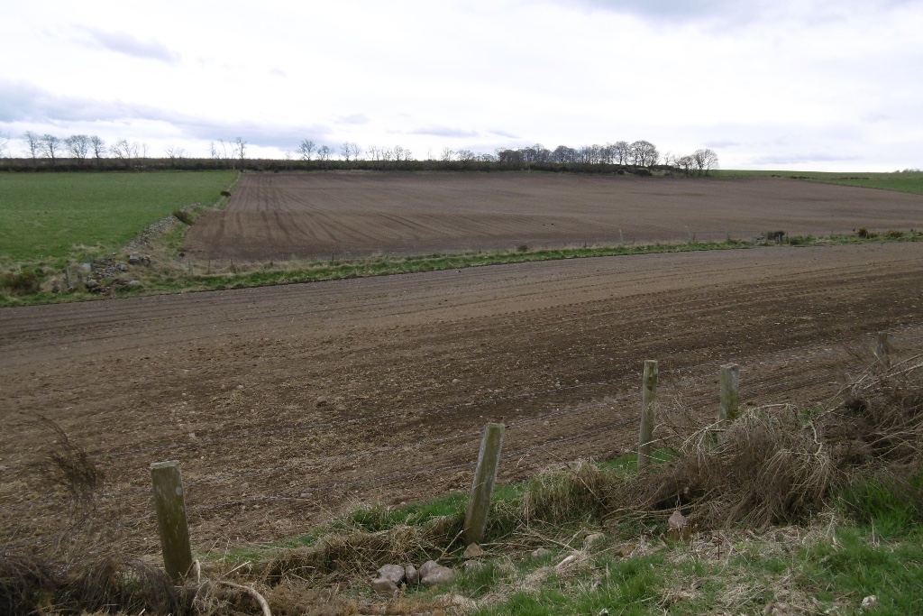
Photo: Richard Webb / Wikimedia Commons / CC BY-SA 2.0 A Roman marching camp a few hours' march north of Raedykes, part of the same Agricolan chain of camps.
-
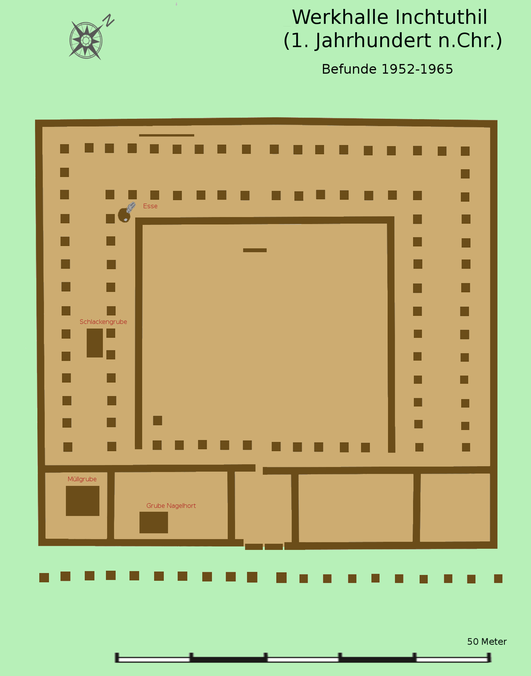
Photo: Veleius / Wikimedia Commons / CC BY 3.0 Site of a major Roman legionary fortress belonging to the same network of forts and camps established during the same campaigning period.
-
Cawdor (Roman Fort)
Another site in the same chain of late 1st-century Roman forts and camps, near Inverness.
-
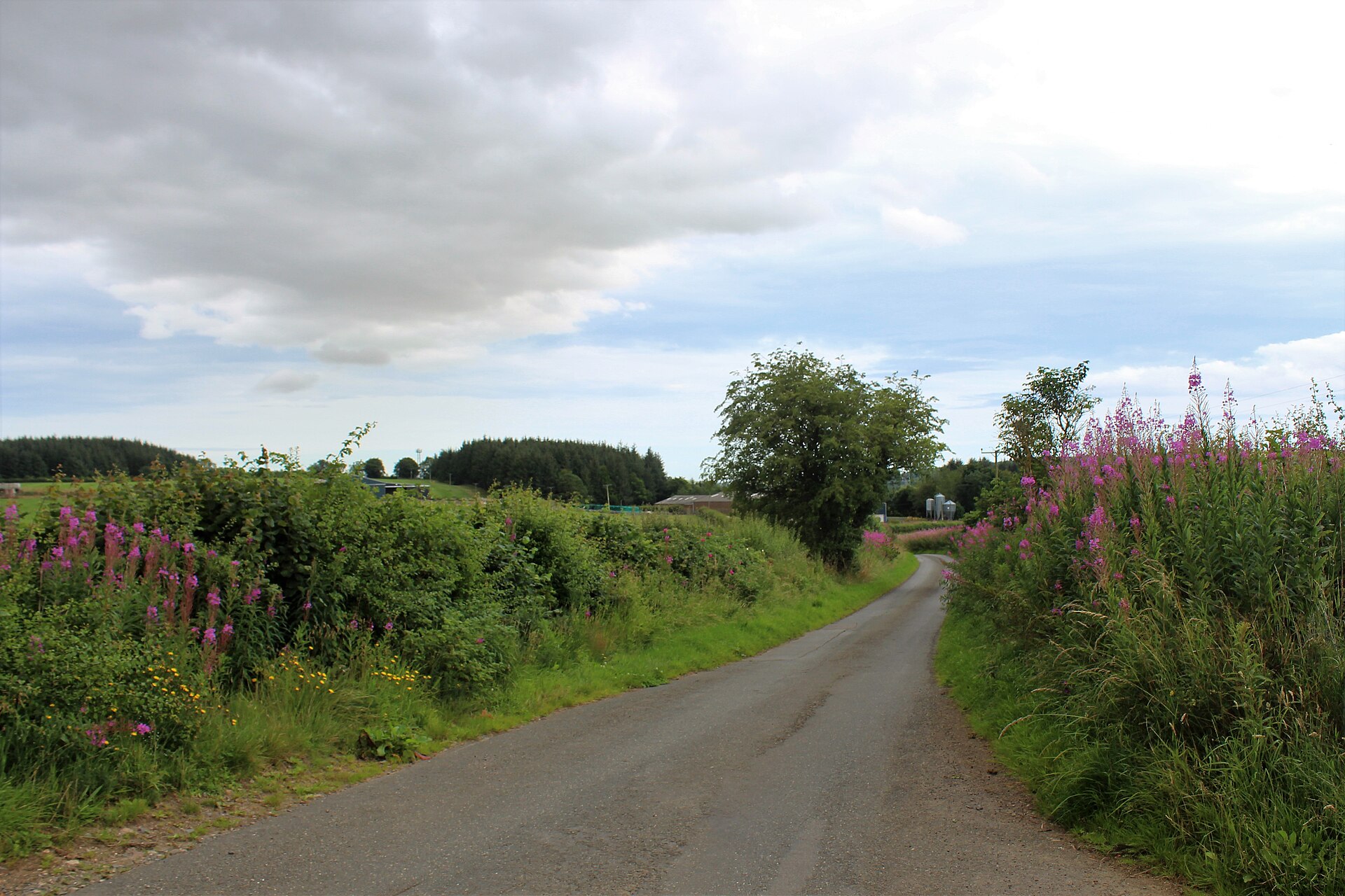
Photo: Andrew Wood / Wikimedia Commons / CC BY-SA 2.0 The Roman camp at Durno, beneath Bennachie, is the leading rival candidate to Raedykes for the site of the battle of Mons Graupius.
Discovery & excavation
The entire perimeter of the camp has been surveyed and recorded, revealing its highly irregular six-gated layout, a shape dictated entirely by the terrain of Garrison Hill rather than by any standard Roman camp plan.
What to look for
-
The rampart on Garrison Hill
The vallum, or camp rampart, encloses the summit and eastern slopes of Garrison Hill (191 m), following an irregular line shaped by the terrain rather than a regular geometric plan.
-
Five surviving gateways
Of the six original gateways, five remain visible, each once protected by a titulus, a short earthwork screen set in front of the entrance to block a direct approach.
-
The Cowie Water valley
The site occupies a spur overlooking the valley of the Cowie Water, a small river draining to the North Sea on the outskirts of Stonehaven, giving the camp command of the route through the valley.
-
Farms within the old perimeter
Mid Raedykes Farm sits inside the northwest corner of the camp and Broomhill Farm lies just inside the eastern rampart, giving a sense of the enclosure's scale against the modern landscape.
Plan your visit
- Location
- 57.0020°N · 2.2632°W
- Nearest settlement
- Stonehaven
- Access
- Open access
- Terrain
- Moderate walking
- Time needed
- About 60 minutes
- Best time
- Dry, clear daylight, when the hilltop earthworks and Cowie Water valley can be read together.
- What survives
- An irregular Roman camp survives as earthworks on Garrison Hill, including five visible gateways.
- Facilities
- No visitor facilities are recorded on the hill.
Opening & admission
Free to visit; check the managing body's site before travelling for any current guidance.
- A scheduled monument on a hill summit (191m) in open farmland, reached by rising ground rather than level paths
Nearby places
Carved stone · Pictish & early medieval
Lang Stane of Auquhollie
Aberdeenshire
Carved in Ogam: an alphabet devised for Irish, not Pictish, speech: the stone has anchored more than a century of scholarly argument over how far I…
- Near Stonehaven
- Some walking
Minor monument · Medieval
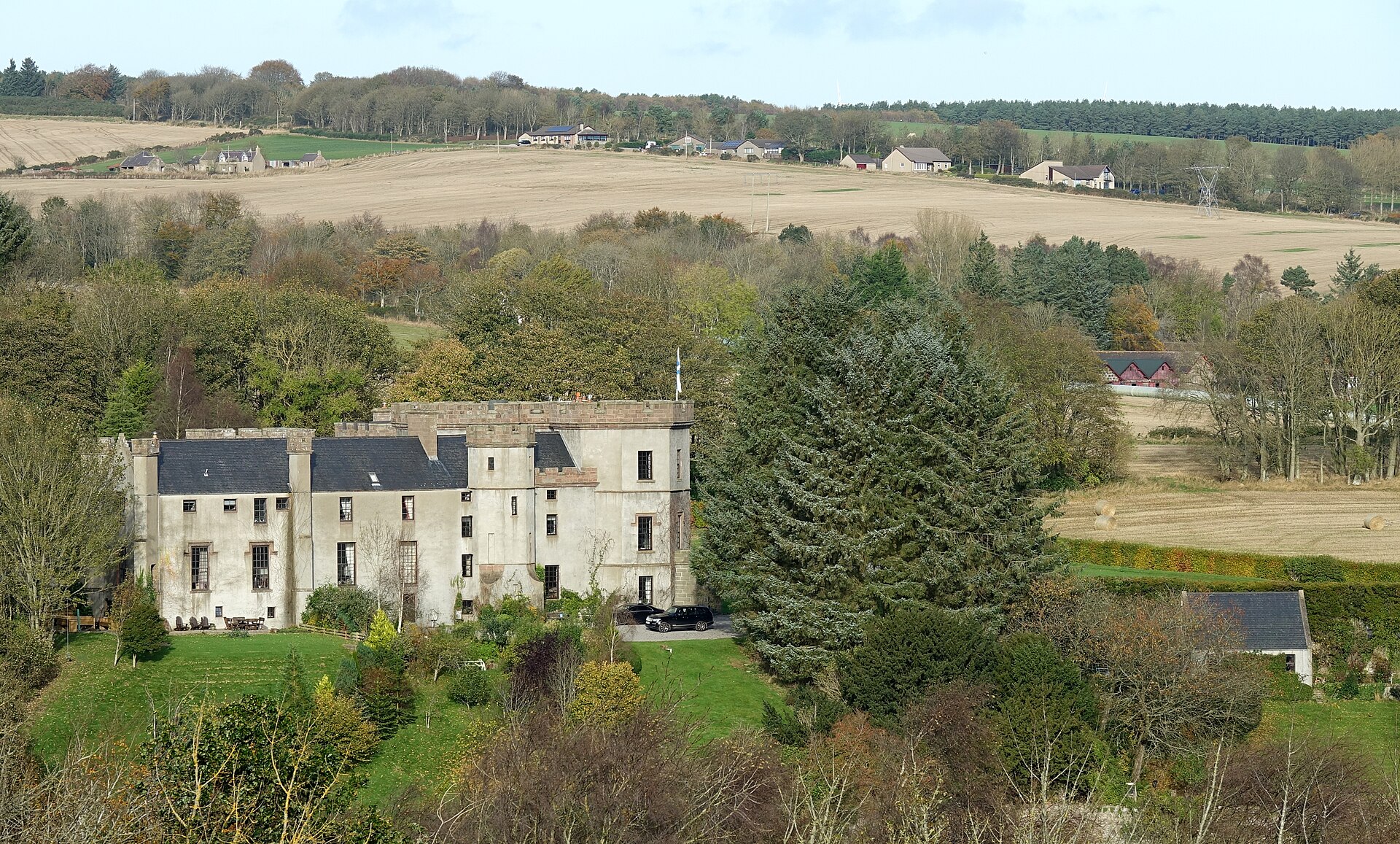
Dovecot, Fetteresso Castle
Aberdeenshire
The sixteenth-century beehive pigeon house outlasts Fetteresso Castle’s dismantling, its three rat lines preserving the working estate landscape be…
- Near Stonehaven
Carved stone · Pictish & early medieval
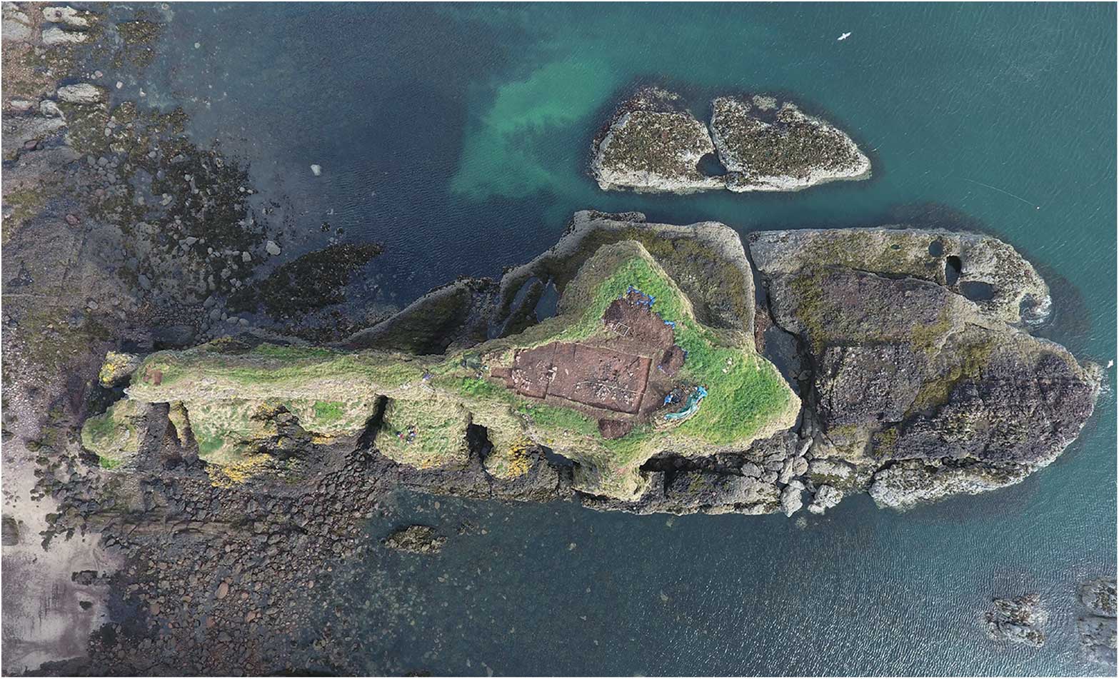
Dunnicaer
Aberdeenshire
Radiocarbon-dated rampart (the raised bank thrown up around a fortified enclosure) timbers make this eroding sea stack the earliest known Pictish (…
- Rough ground
Fortified place · Medieval
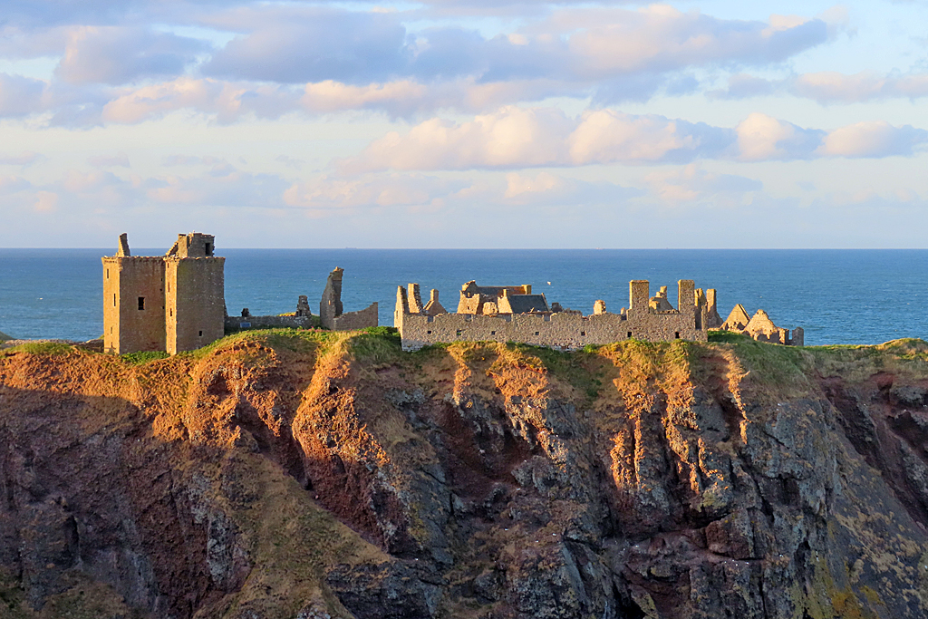
Dunnottar Castle
Aberdeenshire
The Annals of Ulster record two sieges of 'Dún Foither' in 681 and 694, possibly the earliest written references to the site; the 681 attack has be…
- Near Stonehaven
- 8 min walk from car park
Questions people ask
- What was Raedykes?
- A Roman marching camp -- a temporary base used for overnight stops or as a campaign headquarters -- built probably in the late 1st century AD near Stonehaven.
- How big was the camp?
- Around 93 acres (38 hectares); a computer model suggests it could have held some 16,000 troops, roughly three legions.
- Is Raedykes linked to the battle of Mons Graupius?
- The area around Raedykes and nearby Kempstone Hill has been proposed as a possible site of the battle, though this is disputed and unproven.
- What survives to see today?
- The rampart and five of the original six gateways, each with its titulus outwork, are still traceable across Garrison Hill.
- Why is the camp's date uncertain?
- It is probably Agricolan, from the late 1st century AD, but may instead be Antonine or Severan, since many nearby forts were reoccupied under Severus.
Sources
- Wikipedia: Raedykes
- Historic Environment Scotland — Canmore
- RCAHMS map of Raedykes Marching Camp
Explore more: Fortified places · Roman · Aberdeenshire
The Ancient Codex, in your pocket
Get the Pocket Codex app
Carry the directory with you — Raedykes and thousands of ancient places across Britain and Ireland, offline, wherever you roam.