
The largest Roman marching camp yet found north of the Antonine Wall, revealed only by a chance aerial photograph after two millennia buried beneath ploughed fields.
A single aerial photograph taken in July 1975 changed how historians think about Rome’s furthest push into Scotland. It showed, traced in the parched summer crops of a field near Logie Durno in Aberdeenshire, the ditched outline of a Roman marching camp (a temporary fortified enclosure built to shelter an army on the move) so large that nothing else found north of the Antonine Wall — the turf-and-stone frontier the Romans built across central Scotland — comes close to it.
Excavations in 1976 and 1977 confirmed what the photograph suggested: an enclosure of between 57.2 and 58.4 hectares, bounded by a single ditch cut a uniform 3.35 metres wide and 3.35 metres deep, with sides running for hundreds of metres across the landscape. A camp of that size could have sheltered an entire Roman army on campaign, and its scale is the main reason some historians have proposed Durno as the place where the general Agricola gathered his forces before the Battle of Mons Graupius in AD 84 — though the case remains circumstantial rather than proven.
Long before any of this came to light, the land at Durno had simply gone on being farmed, its buried ditches forgotten under the plough. It was here, in 1856, that the physician and amateur geologist William Mackie was born, in a landscape that would not give up its Roman secret for another century.
What follows is drawn from published sources, with each claim labelled by how firmly it is established.
History
In or around AD 84 Roman forces under the general Gnaeus Julius Agricola pushed north of the Forth-Clyde isthmus, and a marching camp was raised on the low ground at Durno to shelter an army on the move. Its exceptional scale, far larger than any camp yet found north of the line later marked by the Antonine Wall, has led some historians to propose it as the mustering point before the Battle of Mons Graupius, though the case rests on circumstantial evidence rather than a direct record.
The camp took the form of a vast enclosure, its south-west side running for some 980 metres (3,230 feet) and its north-west side for around 590 metres (1,930 feet), together defining an area of between 57.2 and 58.4 hectares. A single ditch, cut to a uniform 3.35 metres in both width and depth, ran around the perimeter, thrown up in the days the army needed to rest and regroup before moving on further north.
In 1856 the physician and amateur geologist William Mackie was born at Durno. He went on to be elected a Fellow of the Royal Society of Edinburgh and held an honorary doctorate of laws, pursuing geology alongside his medical career until his death in 1932, long before the Roman camp on his birthplace's ground had been recognised at all.
The camp remained invisible to anyone standing on the ground for nearly two thousand years, its ditches long since levelled by ploughing, until an aerial photograph taken in July 1975 revealed the tell-tale cropmarks of its buried perimeter. The scale of what showed up in that photograph immediately marked Durno out as something exceptional among the marching camps known in Scotland.
Archaeologists returned to the ground in 1976 and 1977 to excavate sections of the enclosure identified from the air, confirming the line and dimensions of the ditch and establishing Durno's true extent at between 57.2 and 58.4 hectares (141 to 144 acres). The figures made it, by a wide margin, the largest Roman camp then known north of the Antonine Wall.
In 1978 the archaeologist J. K. St Joseph set out the case, in the journal Britannia, for identifying Durno as the place where Agricola gathered his army ahead of the Battle of Mons Graupius in AD 84, a theory that William Hanson revisited and questioned in a 1980 paper for the Society of Antiquaries of Scotland. The location of the battle has never been settled, but Durno's sheer size keeps it central to the argument.
People
-
Gnaeus Julius Agricola
Roman governor of Britain whose army has been proposed to have mustered at Durno before the Battle of Mons Graupius in AD 84.
-
William Mackie
Physician and amateur geologist, born at Durno in 1856, elected a Fellow of the Royal Society of Edinburgh; died 1932.
Connections
-
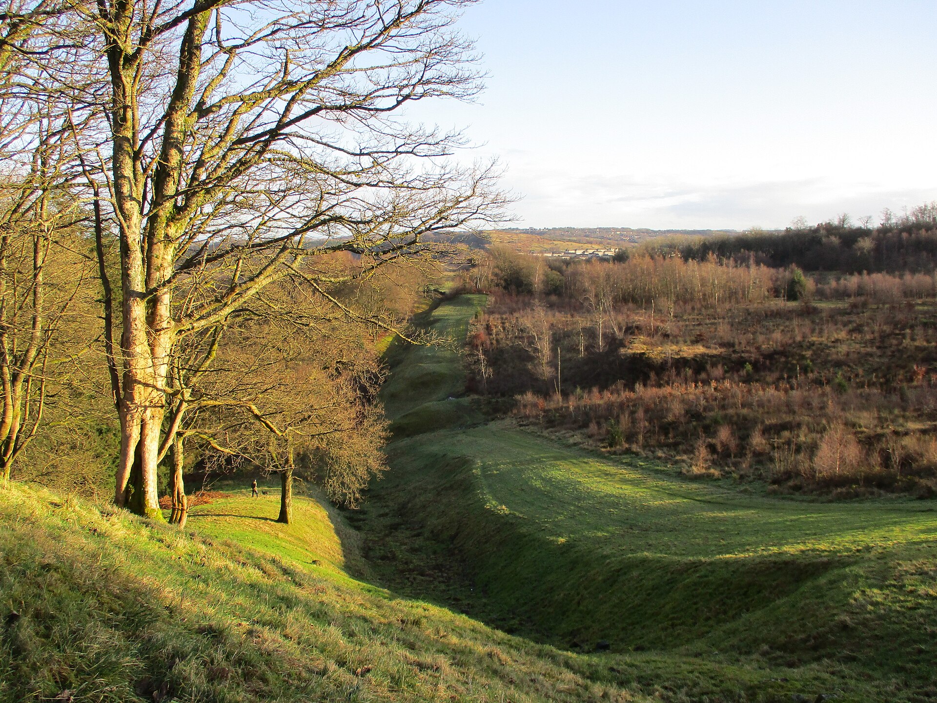
Photo: Alan O'Dowd / Wikimedia Commons / CC BY-SA 2.0 Durno's camp lies far north of the Antonine Wall, the Roman frontier across central Scotland, and is the largest camp yet found beyond it.
-
Battle of Mons Graupius
Durno has been proposed as the camp where Agricola's army mustered before the battle fought in AD 84.
Discovery & excavation
The camp lay unrecognised for centuries, its ditches erased from the surface by ploughing, until an aerial survey in July 1975 picked out the cropmarks of its buried perimeter. Archaeologists excavated sections of the site in 1976 and 1977, confirming the line of the enclosing ditch and establishing the camp's full extent.
What to look for
-
The camp's footprint in farmland
Nothing of the Roman ditch survives above ground; the site is now ordinary arable land, and only the sheer scale of the enclosed ground gives any sense, standing in the field, of the army that once camped there.
-
Cropmarks from the air
In the right conditions the outline of the camp's ditch still shows as parching or cropmarks in aerial photographs of the fields, the same phenomenon that led to its discovery in July 1975.
Plan your visit
- Location
- 57.3345°N · 2.5006°W
- Nearest settlement
- Inverurie
- Access
- Open access
- Terrain
- Easy going
- Time needed
- About 15 minutes
- Best time
- Clear daylight, when the scale of the former camp can be understood in the surrounding farmland.
- What survives
- No Roman earthwork survives above ground; the camp is known from cropmarks and excavated ditch sections.
- Facilities
- No visitor facilities are recorded at this undeveloped farmland site.
Opening & admission
No formal visitor site or admission arrangement is recorded; check Canmore/Aberdeenshire Council records before visiting.
- Site is a scheduled Roman marching camp identified from aerial photography, on farmland near Logie Durno with no developed visitor facilities recorded.
Nearby places
Carved stone · Pictish & early medieval
Maiden Stone
Aberdeenshire
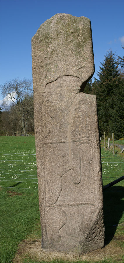
A slab of red granite standing some three metres high, carved on every face with Christian crosses, Pictish beasts and a legend of the Devil's forf…
- Near Inverurie
- Easy path
Minor monument · Medieval
Market Cross, Old Rayne
Aberdeenshire
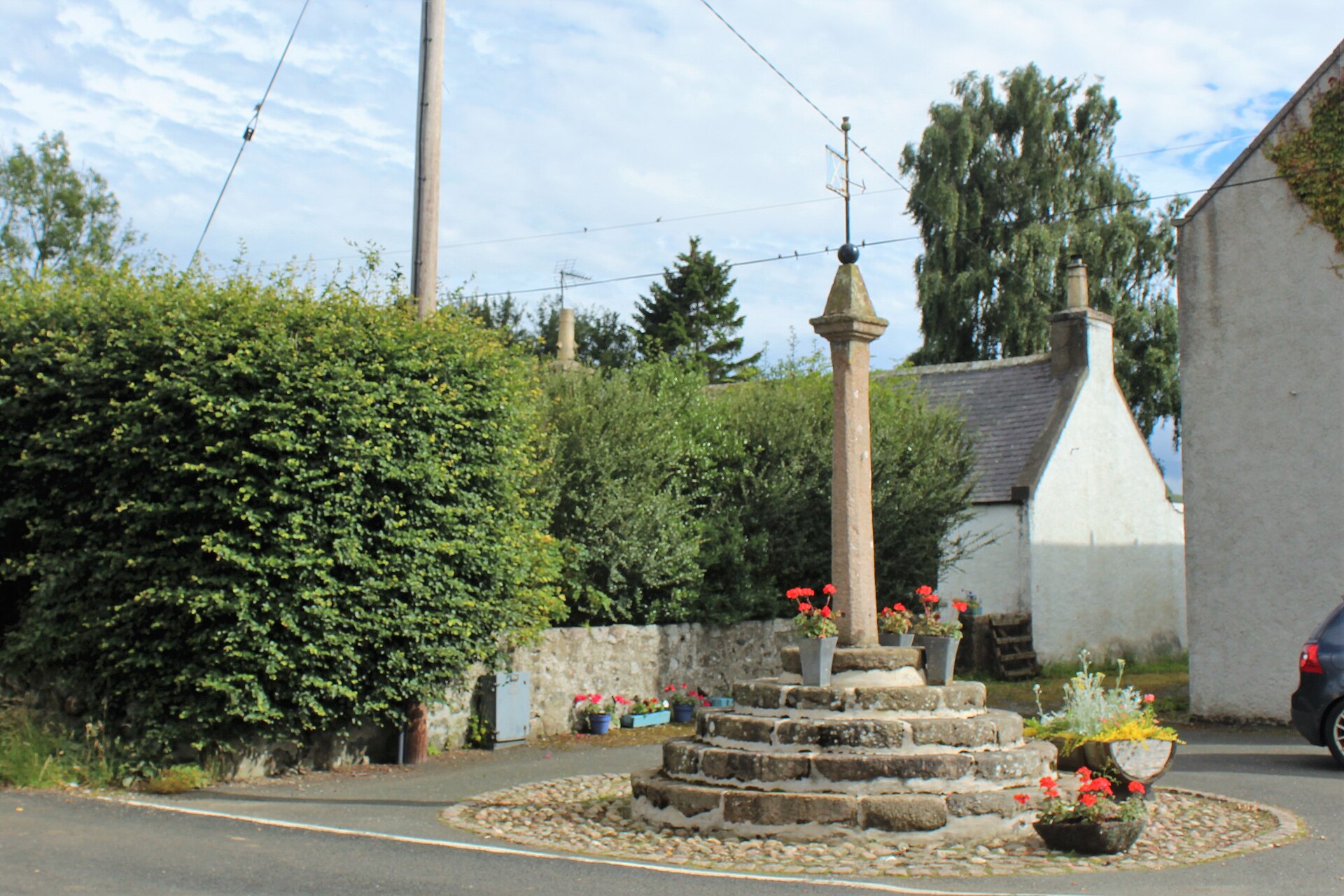
A granite market cross on five circular steps preserves Old Rayne’s status as a burgh of barony created in 1492.
- Easy path
Sacred place · Prehistoric
Balquhain
Aberdeenshire
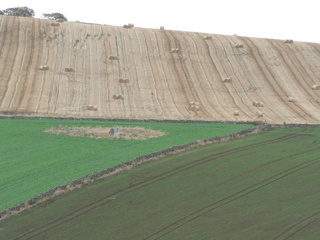
A rounded hump on its ten-tonne recumbent stone echoes the outline of Mither Tap behind it, and 1980s survey work found its flanking stones deliber…
- Some walking
Sacred place · Prehistoric
Loanhead of Daviot Stone Circle
Aberdeenshire
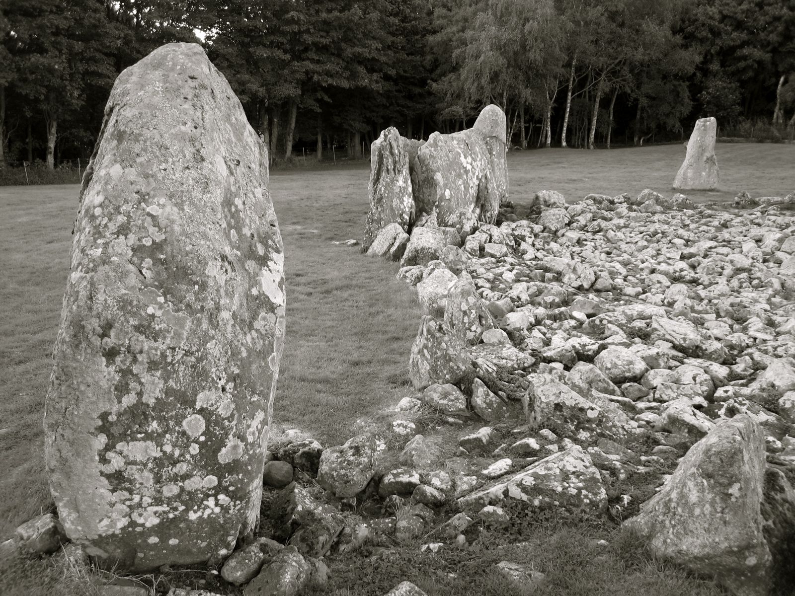
One of only a handful of Aberdeenshire recumbent circles with every stone still standing, its granite ring encloses a cairn (a mound of piled stone…
- Near Daviot
- 3 min walk from car park
- Easy path
The setting
Minor road through the countryside near Durno; the Roman site is not visible.
Photo: Steven Brown / Wikimedia Commons / CC BY-SA 2.0
Minor road near Easterton, in the landscape around Durno.
Photo: Steven Brown / Wikimedia Commons / CC BY-SA 2.0
Questions people ask
- What is Durno?
- Durno, near Logie Durno in Aberdeenshire, is the site of a Roman marching camp discovered by aerial photography in 1975 and excavated in 1976 and 1977.
- How big is the camp at Durno?
- Between 57.2 and 58.4 hectares (141–144 acres), making it the largest Roman camp yet found north of the Antonine Wall.
- Is Durno linked to the Battle of Mons Graupius?
- It has been proposed as the camp where Agricola mustered his army before the battle in AD 84, though the evidence is largely circumstantial.
- What defences did the camp have?
- A single ditch, 3.35 metres wide and 3.35 metres deep, ran around the entire perimeter of the enclosure.
- Who was born at Durno?
- The physician and amateur geologist Dr William Mackie (1856–1932) was born there.
Sources
- Wikipedia: Durno
- Historic Environment Scotland — Canmore
- Aberdeenshire Sites and Monuments Record — Aberdeenshire Council
- St Joseph, "The Camp at Durno, Aberdeenshire, and the Site of Mons Graupius", Britannia (1978)
- Hanson, "Roman campaigns north of the Forth-Clyde isthmus: the evidence of the temporary camps", Proceedings of the Society of Antiquaries of Scotland (1980)
Explore more: Fortified places · Roman · Aberdeenshire
The Ancient Codex, in your pocket
Get the Pocket Codex app
Carry the directory with you — Durno and thousands of ancient places across Britain and Ireland, offline, wherever you roam.