
One of Aberdeenshire's recumbent stone circles built with two rings rather than one, its unusual forecourt and alternating stone heights have puzzled surveyors for over a century.
Aquhorthies retains fourteen standing stones near Portlethen, with a massive recumbent slab set between two flankers and facing an open forecourt. The slab measures 2.75 metres across and 1.4 metres high; the arrangement belongs to the Bronze Age — roughly 2500–800 BC — tradition of recumbent stone circles, unusually concentrated in lowland Aberdeenshire.
What makes Aquhorthies still more unusual is that it appears to preserve not one ring but two, wrapped around the remains of a ring cairn (a low mound of stones that once filled the circle’s centre). Only the cairn’s kerb survives; the mound itself has vanished, probably robbed for building stone over the centuries. Of the original eighteen or more orthostats, fourteen remain standing today, two of them reduced to stumps, while one of the recumbent’s flanking stones is missing altogether.
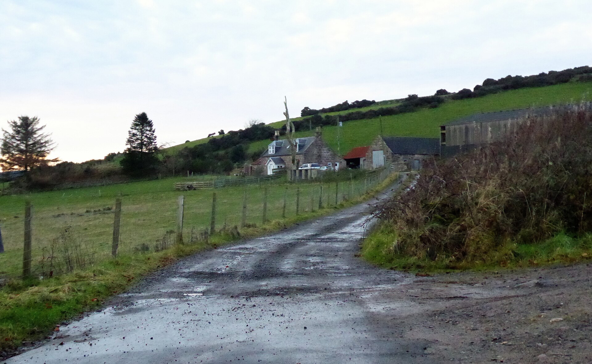
The circle stands a single field away from its close neighbour, the Auld Bourtreebush stone circle, a proximity so close that it misled at least one early visitor. Set near the old routeway known as the Causey Mounth, Aquhorthies has drawn antiquarians and archaeologists for more than three centuries, its stones surveyed, sketched, dug into and re-examined as ideas about what these circles were built for have shifted.
What follows is drawn from published sources, with each claim labelled by how firmly it is established.
History
In 1692 the antiquarian James Garden visited the site at the urging of the English writer John Aubrey, who was compiling notes on stone monuments across Britain. Garden's account, however, confused Aquhorthies with its near neighbour, the Auld Bourtreebush stone circle standing in the very next field, an error that muddied the documentary record for later readers of his report.
During the 1820s the circle was recorded in drawings made by the antiquarians James Skene and James Logan, part of a wider wave of interest in Scotland's prehistoric stone settings that accompanied the antiquarian revival of the early nineteenth century. Their sketches preserve one of the earliest visual records of the stones before any further loss or disturbance took place.
In 1858 a group of local gentlemen and clergy, James Dyce Nicol, Charles Dalrymple, James Nicolson, Captain James Burnett, the Reverend Harry Stuart and Alexander Thomson, carried out an excavation of the site. They found the central cairn had already been plundered, but recovered fragments of burnt bone and sherds of pottery among the disturbed material within it.
Through the later decades of the nineteenth century the circle drew further antiquarian attention, with visits recorded from William Collings Lukis, Christian Maclagan, Robert Angus Smith, William Tomkin and Frederick Coles, each adding to the growing body of survey drawings and descriptions being compiled of recumbent stone circles across Aberdeenshire at the time.
The site was made a scheduled monument in 1925, giving it legal protection as a nationally important archaeological remain. By then the ring cairn at its centre had long since lost its mound down to bare kerbstones, and only fourteen of an original eighteen or more standing stones remained upright in the ring. In 1934 the archaeologist Alexander Keiller, a leading figure in British megalithic studies, noted that Aquhorthies displayed an atypical number of stones for a recumbent circle and that their heights alternated in an unusual pattern, observations that marked the site out among its many Aberdeenshire counterparts of the same type.
Later twentieth-century researchers returned to test the circle's geometry and origins: Alexander Thom surveyed the monument in 1955 as part of his broader study of megalithic sites, Clive Ruggles examined it for possible astronomical alignments in 1981, and a geological survey of the stones followed in 2006.
People
-
James Garden
Antiquarian who visited the site in 1692 at John Aubrey's urging, though his report conflated it with the neighbouring Auld Bourtreebush circle.
-
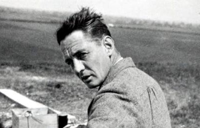
Portrait: Unknown author / Wikimedia Commons / Public domain Alexander Keiller
Archaeologist who in 1934 noted the atypical number of stones at Aquhorthies and their alternating heights.
-
Portrait: Charles Grey (1808-1892) / Wikimedia Commons / Public domain Alexander Thom
Surveyor who recorded the circle's geometry in 1955 as part of his wider study of megalithic monuments.
-
Clive Ruggles
Archaeoastronomer who examined the circle for possible astronomical alignments in 1981.
Cultural influences
-
Recumbent stone-circle tradition
Aquhorthies is part of northeast Scotland’s recumbent stone-circle tradition, distinguished by a horizontal recumbent slab and taller flanking stones.
Connections
-
Auld Bourtreebush stone circle
Stands one field away from Aquhorthies and was confused with it in James Garden's 1692 account of the site.
-
Causey Mounth
The circle lies beside the Causey Mounth, the historic route linking Aberdeen with the coast near Stonehaven; its later use as a drove road placed this prehistoric monument within a long-lived north-east travel corridor.
-

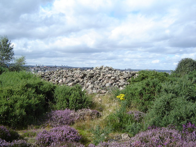
Photo: Elliott Simpson / Wikimedia Commons / CC BY-SA 2.0 Recumbent stone circles such as Aquhorthies may represent a development from these earlier cairn monuments.
-

OpenStreetMap contributors / Wikimedia Commons / CC BY-SA 2.0 Axial stone circles of southwest Ireland
Described as the closest parallel monument type to Aberdeenshire's recumbent stone circles, of which Aquhorthies is one.
Discovery & excavation
Excavation in 1858 found the central cairn already plundered, but the diggers recovered fragments of burnt bone and sherds of pottery from among the disturbed material, the only recorded finds from the site.
What to look for
-
The recumbent stone
A massive horizontal slab 2.75 metres wide and 1.4 metres tall, laid between the south and southwest of the ring; one of its two flanking stones is now missing.
-
The forecourt
An open forecourt set before the recumbent stone, an arrangement unusual among recumbent stone circles of this type.
-
The surviving orthostats
Fourteen upright stones remain of an original eighteen or more, two of them reduced to stumps, graded in size around the ring.
-
The ring cairn kerb
The kerbstones marking where a ring cairn once stood at the circle's centre, its stone mound long since removed or robbed away.
Plan your visit
- Location
- 57.0580°N · 2.1635°W
- Nearest settlement
- Inverurie
- Access
- Open access
- Terrain
- Easy going
- Parking
- A small car park is recorded nearby.
- Time needed
- About 30 minutes
- Best time
- Daylight is the most useful time to see the monument and assess the approach.
- What survives
- The recumbent setting, fourteen upright stones and the kerb of the former central ring cairn survive; the cairn mound itself has gone.
- Facilities
- No visitor facilities are provided at the circle itself; plan for rural or roadside conditions.
Opening & admission
No admission is charged; it stands on open farmland, so check locally before visiting.
- A scheduled monument stood in a field one field from Auld Bourtreebush stone circle, near the Causey Mounth.
Nearby places
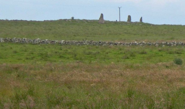
Sacred place · Prehistoric
Auld Bourtreebush
Aberdeenshire
Long dismissed as a recumbent stone circle like its neighbour at Aquhorthies, modern scholarship has overturned that reading, restoring Auld Bourtr…
- Near Portlethen
- Some walking
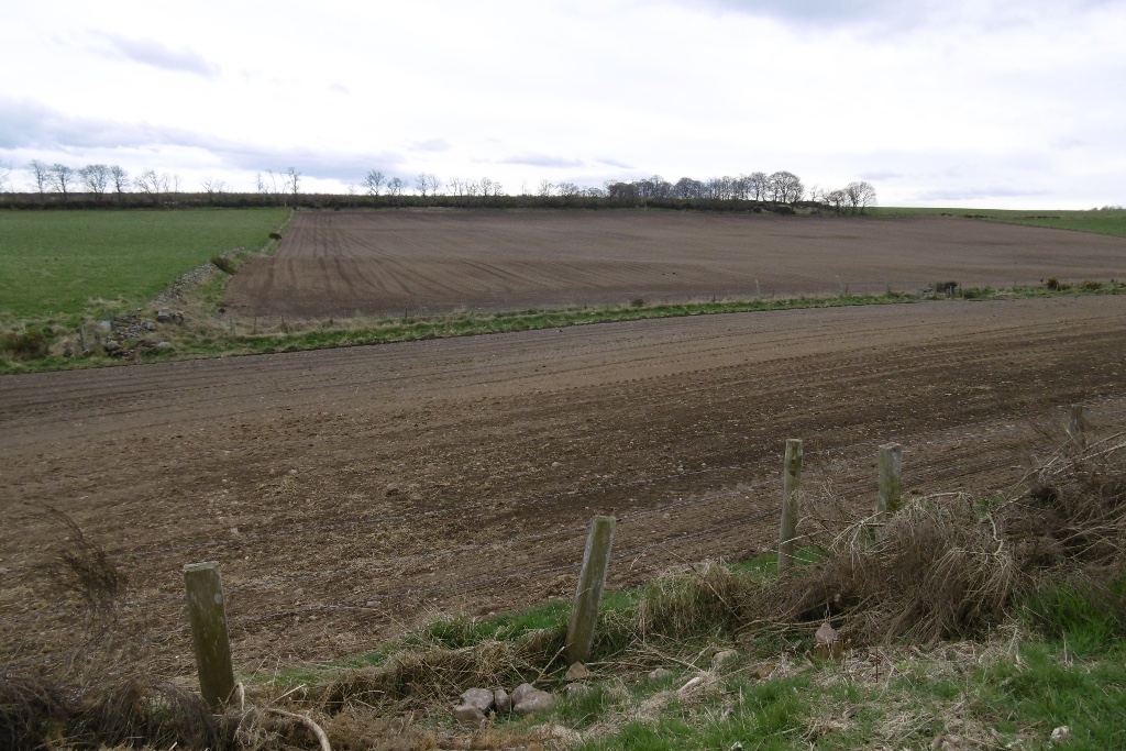
Building or ruin · Roman
Normandykes
Aberdeen City
A Roman marching camp misread for fifty years as a Danish fort, its true imperial origin restored only when its rectangular plan gave the game away.
Fortified place · Roman
Raedykes
Aberdeenshire
A computer model of its roughly 93-acre rampart (an encircling bank built for defence) suggests room for three legions -- some 16,000 men -- making…
- Near Stonehaven
- Some walking
Tomb or burial place · Prehistoric
Tullos Cairn
Aberdeen City
One of four stone burial mounds sharing Tullos Hill, raised in the Bronze Age: roughly 2500 to 800 BC, when metal tools first spread: and still out…
- Near Aberdeen
- Easy path
Questions people ask
- What makes Aquhorthies stone circle unusual among recumbent stone circles?
- It appears to have contained two concentric stone circles as well as a ring cairn, an arrangement rare among Aberdeenshire's recumbent stone circles, and its recumbent stone faces an atypical open forecourt.
- How many stones remain at Aquhorthies today?
- Fourteen orthostats survive, two reduced to stumps, out of an original total of at least eighteen; the central ring cairn has lost its mound and keeps only its kerb.
- When was Aquhorthies excavated?
- The main excavation took place in 1858, led by a group including James Dyce Nicol and Charles Dalrymple, who found the cairn already plundered but recovered burnt bone and pottery sherds.
- What is a recumbent stone circle?
- A type of stone circle built in the early Bronze Age in which the largest stone is laid horizontally facing south to southwest, flanked by the circle's two tallest uprights.
- Is Aquhorthies protected as a heritage site?
- Yes. It was designated a scheduled monument in 1925, giving it legal protection as a nationally important archaeological site.
Sources
- Wikipedia: Aquhorthies stone circle
- Historic Environment Scotland — Canmore
- Wikidata: Aquhorthies stone circle
Explore more: Sacred places · Prehistoric · Aberdeenshire
The Ancient Codex, in your pocket
Get the Pocket Codex app
Carry the directory with you — Aquhorthies stone circle and thousands of ancient places across Britain and Ireland, offline, wherever you roam.