
A Roman marching camp of over 41 hectares, hidden until aerial photography found its ditches from the air in 1959 — physical proof that Severus's legions pushed deep into Moray.
Seen from the ground, the fields east of Keith give away nothing. It took an aircraft passing overhead in 1959 for the faint, rectangular outline of a vast Roman camp to show itself in the crop marks below — a shape almost 800 metres long that no one on the ground had ever noticed. Kenneth St Joseph, the pioneer of British aerial archaeology, spotted it and returned that same year to dig two small trenches across its defences.
What the marks traced was a marching camp, a temporary earthwork enclosure thrown up by a Roman army on the move rather than a permanent fort. Its scale, more than 41 hectares, matches the camps built for a full campaigning force rather than a small patrol, and it sits close to an earlier camp at Auchinhove associated with Agricola’s campaigns over a century before. Together they mark two separate Roman pushes into the same stretch of Moray, generations apart.
Muiryfold owes its identification entirely to that one season of flying and digging. No monument, wall or visible bank survives above ground for a visitor to walk up to; the site’s evidence lies in soil marks, ditch profiles and the historical record of an emperor determined to finish what Agricola had started.
What follows is drawn from published sources, with each claim labelled by how firmly it is established.
History
In 84 AD the Roman general Agricola pushed a campaigning army into the north-east of Scotland and established a marching camp at Auchinhove, near what would later become the site of Muiryfold. His advance marked the furthest reach of the first Roman incursion into this part of Caledonia, though the army did not stay to hold the ground it had crossed.
More than a century later, in 210 AD, the emperor Septimius Severus led a renewed attempt to subdue the whole of Caledonia, driving his legions north as far as the Moray Firth. As part of that campaign his forces built a marching camp at Muiryfold, close to the earlier Agricolan site, using the same favourable ground to shelter an army passing through the region.
The camp Severus's soldiers built was almost rectangular, stretching 784 metres from north-west to south-east and 522 metres from north-east to south-west, enclosing just over 41 hectares in total. A camp of that size was built to hold a substantial force for a single night or a few nights on the march, not to serve as a permanent garrison.
The site lay unrecognised for well over a thousand years until 1959, when Kenneth St Joseph identified its outline from the air through the faint cropmarks left by its buried ditches. Aerial photography of this kind was transforming the study of Roman Scotland at the time, revealing camps that left almost no trace visible from the ground.
Following the aerial discovery, St Joseph excavated two small trenches across the north-west and south-east sides of the circuit that same year, confirming the line and character of the defences seen from the air. His findings tied Muiryfold firmly into the wider pattern of Roman campaign camps stretching across eastern Scotland.
Discoveries at Portmahomack on the Dornoch Firth and Tarradale on the Beauly Firth later prompted speculation that Roman forces under Agricola or Severus might have pushed even further north than Muiryfold, but neither site has been confirmed as Roman. Muiryfold therefore remains among the northernmost securely identified camps of the Severan campaign.
People
-
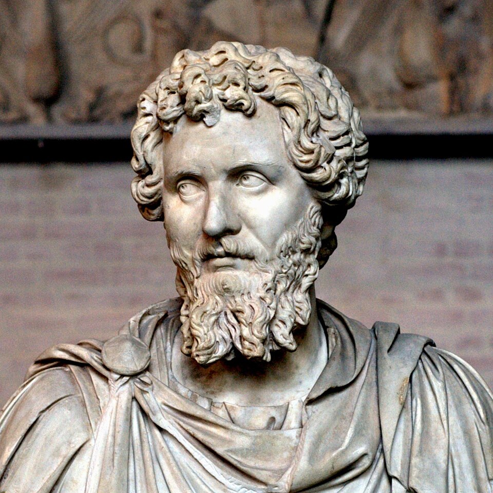
Portrait: Unknown / Wikimedia Commons / Public domain Septimius Severus
Roman emperor who led the 210 AD campaign into Caledonia during which the camp at Muiryfold was built.
-

Portrait: Ad Meskens / Wikimedia Commons / CC BY-SA 3.0 Agricola
Roman general whose earlier campaign in 84 AD established the nearby marching camp at Auchinhove.
-
Kenneth St Joseph
Aerial archaeologist who identified Muiryfold from the air in 1959 and led the trial excavations that followed.
Cultural influences
-
The large temporary camp belongs to Septimius Severus’s 210 campaign and reuses favourable ground near Agricola’s earlier camp at Auchinhove.
Connections
-
Auchinhove Roman camp
An earlier marching camp built nearby in 84 AD during Agricola's campaign, on ground later reused by Severus's forces at Muiryfold.
-
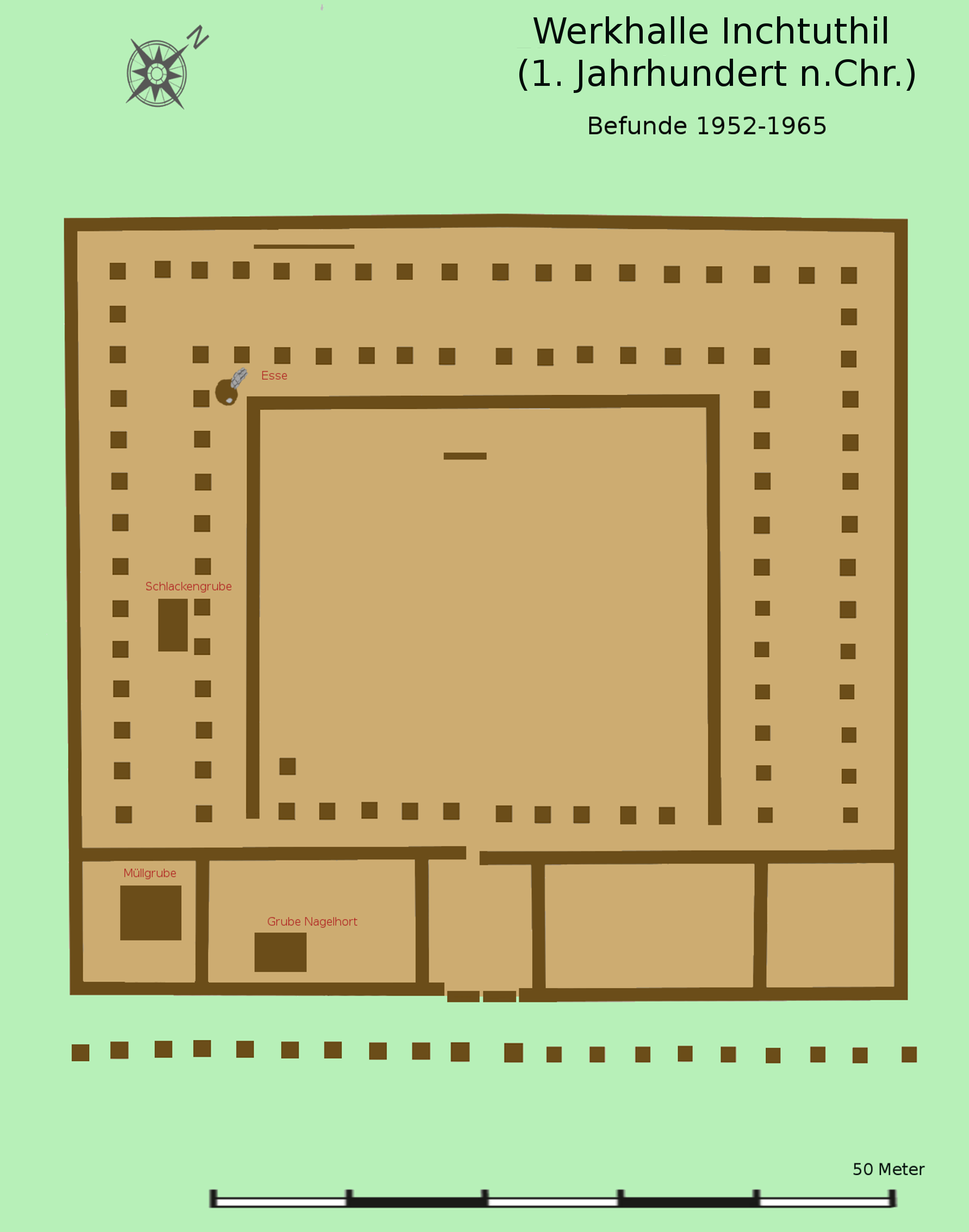
Photo: Veleius / Wikimedia Commons / CC BY 3.0 One of the chain of large Roman forts established across Scotland in the first and second centuries, part of the same network of Roman military occupation as Muiryfold.
-
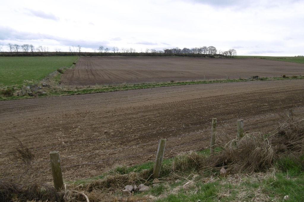
Photo: Richard Webb / Wikimedia Commons / CC BY-SA 2.0 A Roman camp reached via the Elsick Mounth route on the same broad line of advance that Roman forces used when campaigning through eastern Scotland.
-

Photo: No machine-readable author provided. Paul0559 assumed (based on copyright claims). / Wikimedia Commons / Public domain Gask Ridge
The line of early Roman forts and towers in Scotland with which Muiryfold is grouped as part of the wider story of Roman attempts to hold the northern frontier.
-
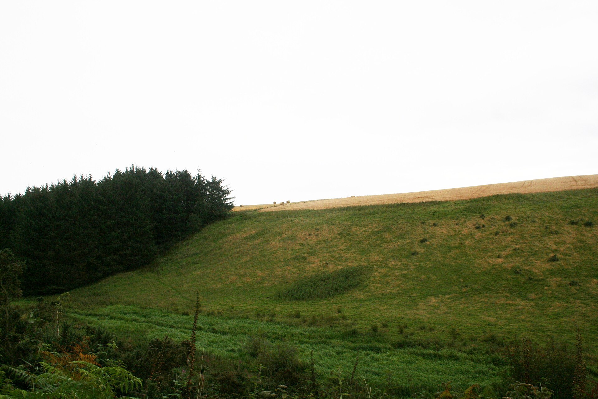
Photo: Andrew Wood / Wikimedia Commons / CC BY-SA 2.0 Another Roman camp site associated with the same campaigns of northward advance into Caledonia as Muiryfold.
Discovery & excavation
The camp was found by aerial photography in 1959, when Kenneth St Joseph identified its rectangular outline in cropmarks east of Keith. He excavated two trial trenches across the north-west and south-east defences that same year to confirm the discovery.
What to look for
-
The camp's footprint
No earthwork survives above ground to see; the camp's near-rectangular outline, roughly 784 by 522 metres, is known only from aerial photography and excavation records rather than from a visible monument.
-
The excavated defences
St Joseph's two 1959 trenches, cut across the north-west and south-east sides of the perimeter, established the profile of the camp's ditch and rampart line beneath the modern field surface.
Plan your visit
- Location
- 57.5528°N · 2.8600°W
- Nearest settlement
- Keith
- Access
- Open access
- Terrain
- Moderate walking
- Time needed
- About 45 minutes
- Best time
- Aerial imagery or mapping is the clearest way to understand the camp, whose ditches leave no standing earthwork.
- What survives
- A buried cropmark site; the camp’s 784-by-522-metre outline is known from aerial photography and trial excavation rather than standing remains.
Opening & admission
- Large Roman marching-camp site identified by aerial photography.
- No substantial earthwork survives above ground; its former perimeter is known from aerial and archaeological evidence across the agricultural landscape.
Nearby places
Fortified place · Roman
Auchinhove
Moray
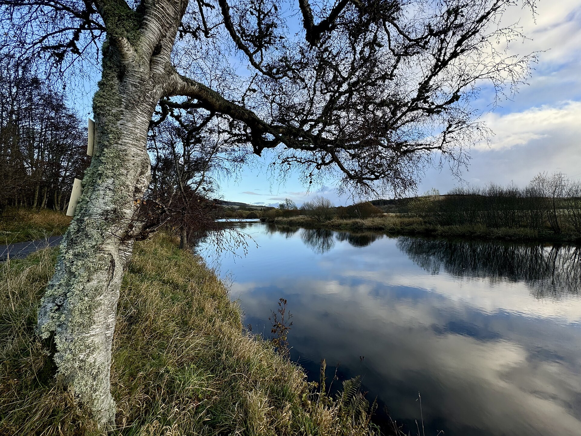
Auchinhove is a large Roman marching camp east of Keith, discovered from the air in 1949 and preserving evidence of Roman military movement in Moray.
- Near Keith
- Some walking
Fortified place · Roman
Burnfield
Aberdeenshire
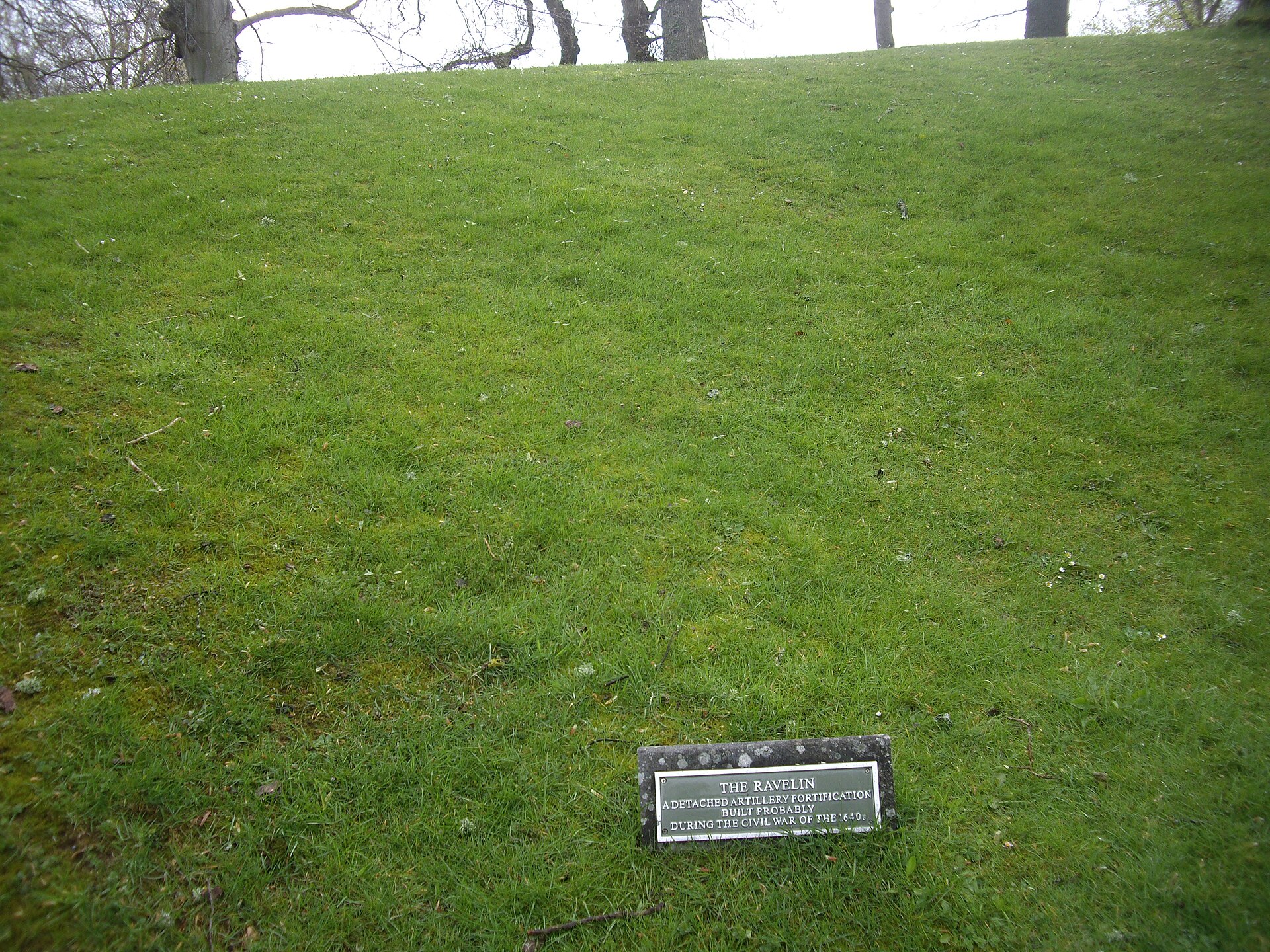
A Roman camp so faint on the ground that only a photograph taken from the air, in 1982, proved it had ever existed at all.
- Near Milltown of Rothiemay
- Easy path
Fortified place · Medieval
Huntly Castle
Aberdeenshire
Four successive castles rose on this one riverside site, each rebuilt by the Gordons after fire, siege or royal demolition: a single ruin holding f…
- Easy path
Sacred place · Prehistoric
Yonder Bognie
Aberdeenshire
One of more than seventy recumbent stone circles unique to lowland Aberdeenshire, its closest architectural parallels lie not in Scotland but in so…
- Near Huntly
- Easy path
Questions people ask
- What was Muiryfold?
- A Roman marching camp near Keith in Moray, built to shelter a campaigning army rather than to serve as a permanent fort.
- Who built the camp at Muiryfold?
- Forces under the emperor Septimius Severus built it in 210 AD during his campaign to conquer Caledonia.
- How big was the camp?
- It measured about 784 by 522 metres, enclosing just over 41 hectares, sized for a large campaigning force.
- How was Muiryfold discovered?
- Kenneth St Joseph identified it from aerial photographs in 1959 and excavated two trial trenches the same year.
- Is there a visible monument at the site today?
- No; the camp survives only as buried ditches, known from cropmarks and excavation rather than standing earthworks.
Sources
- Wikipedia: Muiryfold
- Moray Sites and Monuments Record
- St Joseph, J K (1961), Journal of Roman Studies, vol. 51
- Frere, S., Britannia: a History of Roman Britain (1998)
- Moffat, Alistair, Before Scotland: The Story of Scotland Before History (2005)
- Aberdeenshire HER — Muiryfold Roman camp (accessed 2026-08-30)
Explore more: Fortified places · Roman · Moray
The Ancient Codex, in your pocket
Get the Pocket Codex app
Carry the directory with you — Muiryfold and thousands of ancient places across Britain and Ireland, offline, wherever you roam.