
Fortified place · Roman · Moray
Auchinhove
Auchinhove is a large Roman marching camp east of Keith, discovered from the air in 1949 and preserving evidence of Roman military movement in Moray.
East of Keith in Moray, Auchinhove is known through the plan of a Roman marching camp rather than through visible ruins. Its rectangular enclosure measures roughly 337 by 328 metres, covering about 10.9 hectares. Those dimensions convey the scale of a temporary military installation set into a landscape far from the better-known permanent Roman sites of Britain.
The camp was first identified by aerial photography in 1949, an important reminder that archaeological landscapes can be discovered from patterns not obvious at ground level. A marching camp was built for a moving army rather than as a long-term fort, and Auchinhove’s recorded extent is the central evidence for its significance. It offers a concise but important point of reference for Roman activity in northeast Scotland.
What follows is drawn from published sources, with each claim labelled by how firmly it is established.
History
Auchinhove is the site of a Roman marching camp east of Keith in Moray. Unlike a permanent fort, a marching camp was associated with the movement of an army and its temporary accommodation. The identification places evidence of Roman military activity in northeast Scotland and makes the site relevant to the wider pattern of Roman campaigning and route-making beyond the most familiar parts of the frontier.
The camp was first discovered through aerial photography in 1949. Its recognition from above demonstrates the value of aerial survey for identifying large archaeological enclosures whose full plan is difficult to grasp from ground level. At Auchinhove, the defining evidence is the measured form of the enclosure, showing how photographic observation can reveal the surviving outline of a temporary Roman military installation.
The recorded camp measures 337 metres by 328 metres and covers approximately 10.9 hectares, or 27 acres. These dimensions indicate a substantial rectangular area rather than a small isolated feature. Although the available account does not describe excavation or standing structures, the measured enclosure establishes the physical scale that supports its interpretation as a Roman marching camp and its significance within Moray’s archaeological record.
Cultural influences
-
The large temporary enclosure marks a halt in Roman military movement through the Moray landscape rather than a permanent garrison.
Connections
-
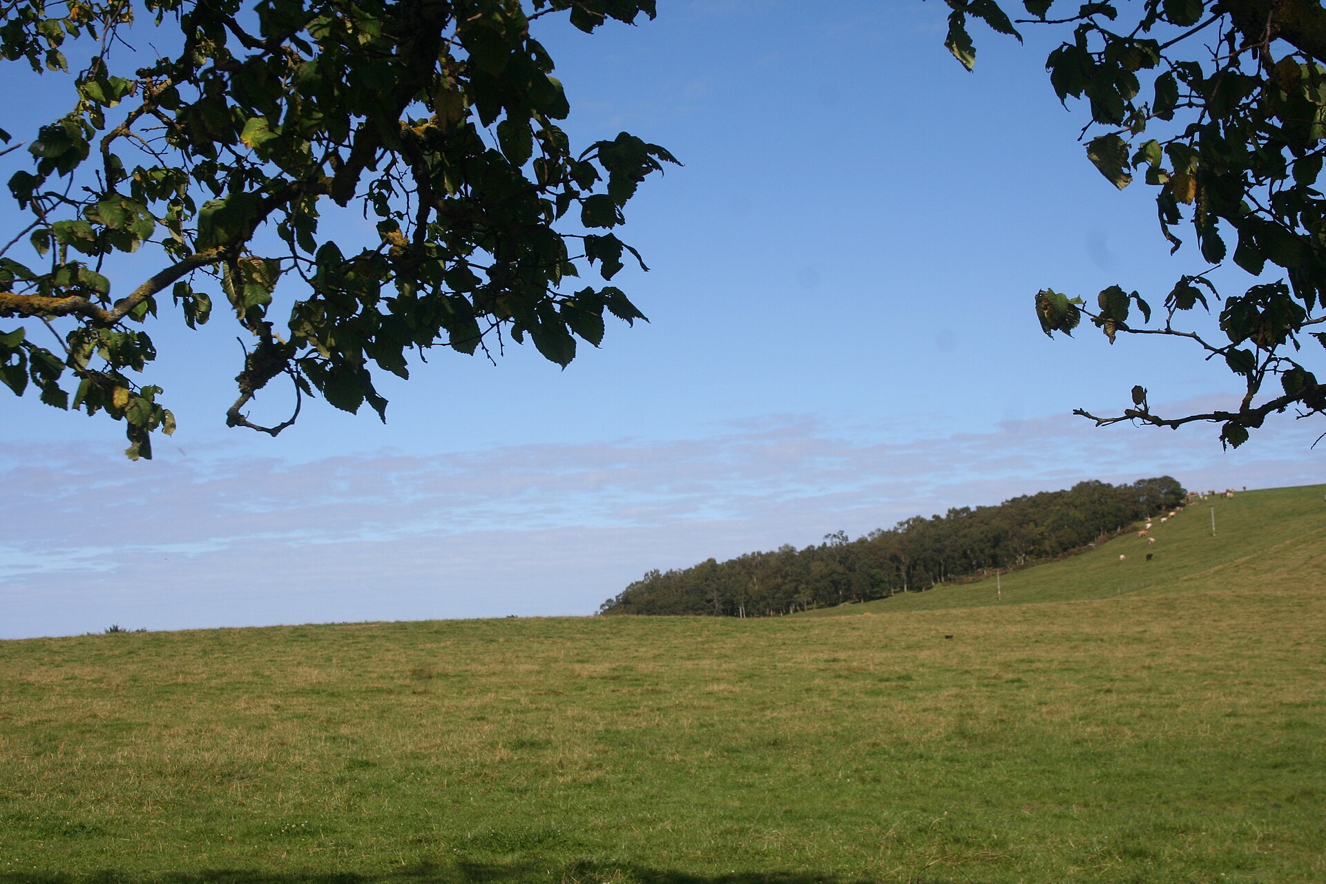
Photo: Andrew Wood / Wikimedia Commons / CC BY-SA 2.0 A neighbouring Roman fort in the same Moray landscape, useful for comparing the region’s temporary military sites.
-
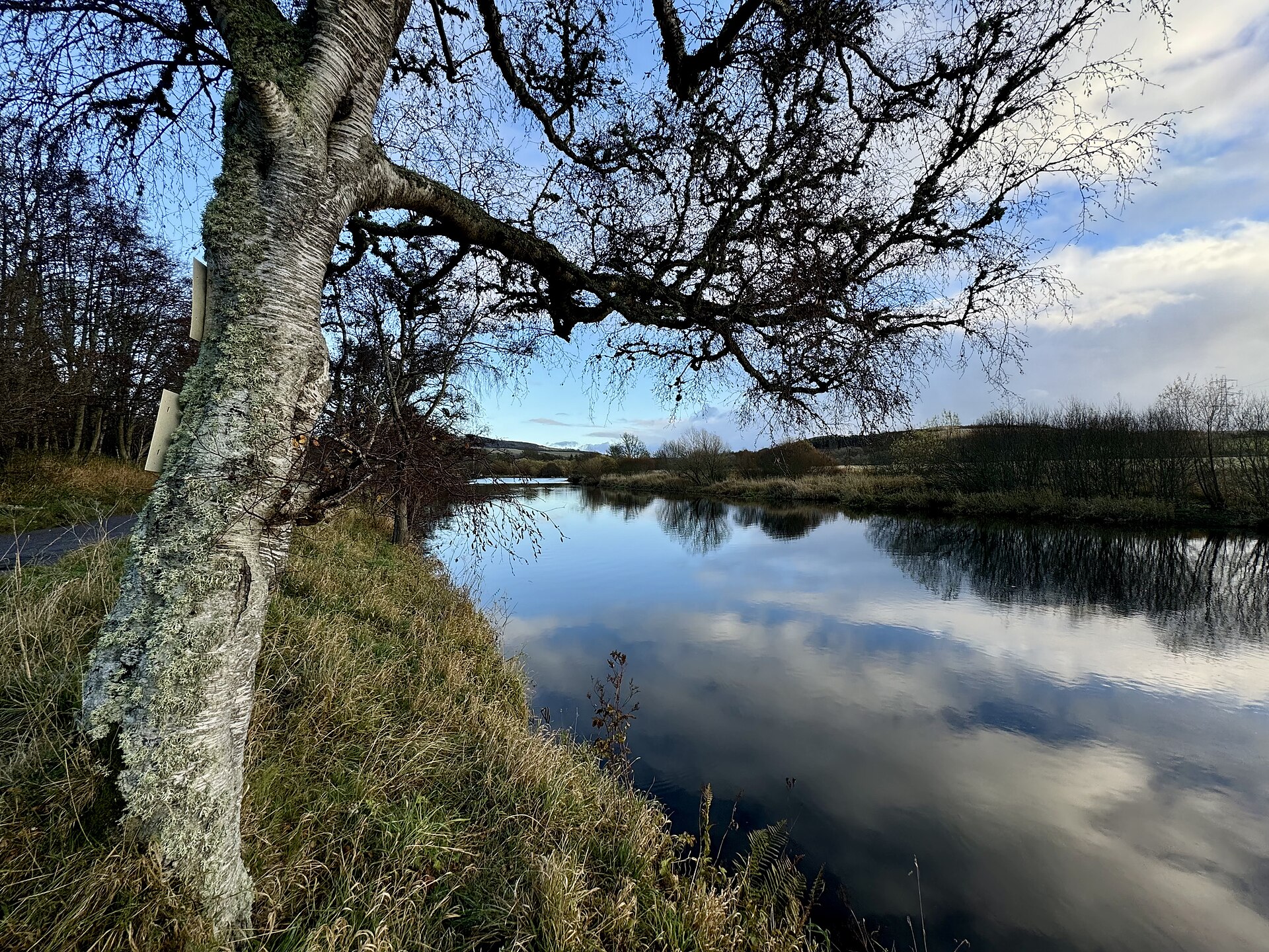
Photo: Ralph Greig / Wikimedia Commons / CC BY-SA 2.0 Another Roman fort in Moray, helping place Auchinhove within the area’s network of Roman military activity.
-
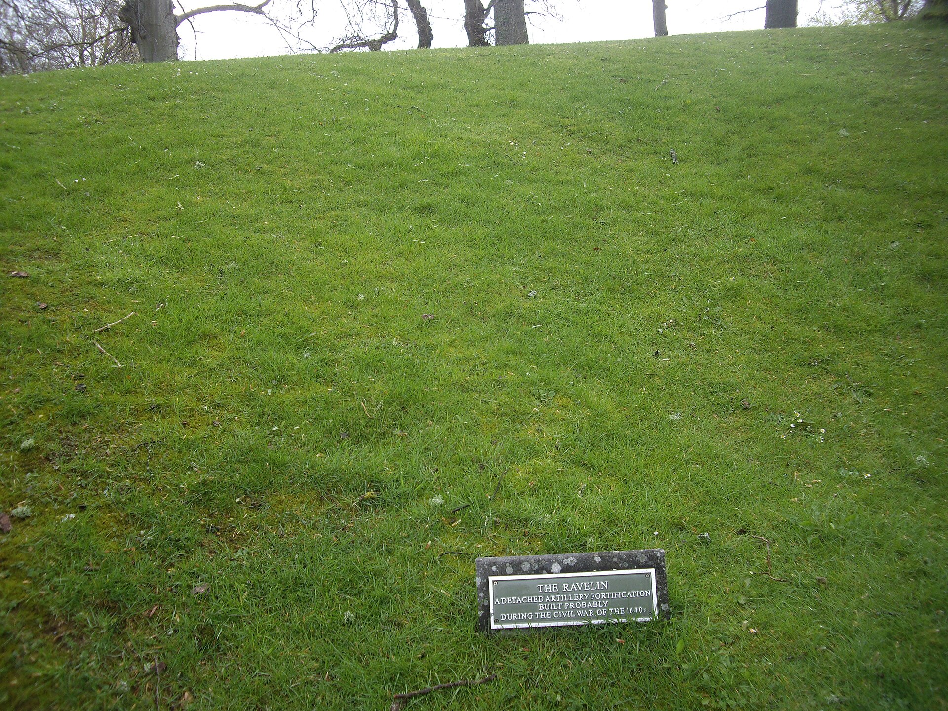
Photo: Stanley Howe / Wikimedia Commons / CC BY-SA 2.0 A later medieval stronghold in the wider region, providing a chronological contrast with Auchinhove’s Roman military remains.
Discovery & excavation
Aerial photography identified the camp in 1949, revealing its large rectangular footprint in the landscape east of Keith.
What to look for
-
The ground east of Keith
Look across the broad ground east of Keith, where aerial evidence identified the camp’s rectangular plan beneath farmland.
-
A camp seen from the air
The enclosure is known through aerial and mapped evidence rather than standing Roman masonry, so its form is interpretive.
-
The camp’s footprint
The large camp footprint measures approximately 337 by 328 metres, indicating a substantial temporary Roman military enclosure.
-
The enclosure in the fields
Consider how the 10.9-hectare enclosure sits within the surrounding agricultural fields, its earthworks now visible mainly from above.
-
The 1949 discovery
Interpretive material explains the 1949 aerial-photography discovery, which first revealed the lost Roman camp in the landscape.
Plan your visit
- Location
- 57.5522°N · 2.9009°W
- Nearest settlement
- Keith
- Access
- Open access
- Terrain
- Moderate walking
- Time needed
- About 45 minutes
- Best time
- Low winter light or aerial mapping gives the best chance of understanding the rectangular camp footprint.
- What survives
- No standing Roman structures are recorded; the camp is identified by its large enclosure pattern in the agricultural landscape.
Opening & admission
- The site is a Roman marching-camp location identified through aerial photography; visible remains and public access are not confirmed.
- Check land access before visiting.
Nearby places
Fortified place · Roman
Muiryfold
Moray
A Roman marching camp of over 41 hectares, hidden until aerial photography found its ditches from the air in 1959: physical proof that Severus's le…
- Near Keith
- Some walking
Fortified place · Roman
Burnfield
Aberdeenshire
A Roman camp so faint on the ground that only a photograph taken from the air, in 1982, proved it had ever existed at all.
- Near Milltown of Rothiemay
- Easy path
Fortified place · Medieval
Huntly Castle
Aberdeenshire
Four successive castles rose on this one riverside site, each rebuilt by the Gordons after fire, siege or royal demolition: a single ruin holding f…
- Easy path
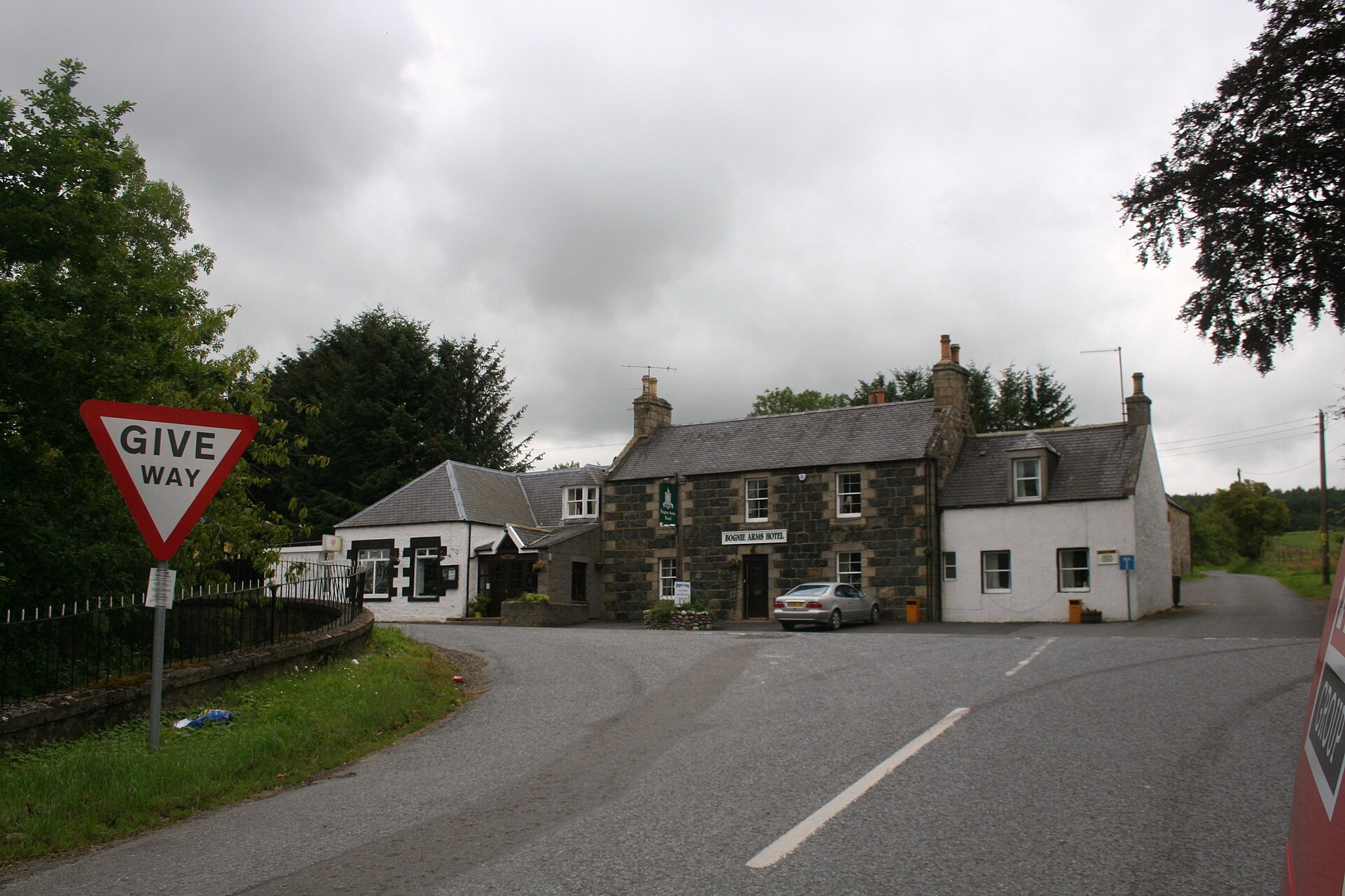
Sacred place · Prehistoric
Yonder Bognie
Aberdeenshire
One of more than seventy recumbent stone circles unique to lowland Aberdeenshire, its closest architectural parallels lie not in Scotland but in so…
- Near Huntly
- Easy path
The setting
Auchinhove Farm House beside the recorded Roman-fort locality.
Photo: Anne Burgess / Wikimedia Commons / CC BY-SA 2.0
Auchinhove Toll House near the recorded Roman-fort locality.
Photo: Anne Burgess / Wikimedia Commons / CC BY-SA 2.0
Crimson clover in the field landscape near Auchinhove.
Photo: Anne Burgess / Wikimedia Commons / CC BY-SA 2.0
Questions people ask
- What is Auchinhove?
- Auchinhove is the site of a Roman marching camp east of Keith in Moray, Scotland.
- How was the camp discovered?
- It was first discovered by aerial photography in 1949.
- How large was Auchinhove?
- The camp measures about 337 metres by 328 metres and covers approximately 10.9 hectares, or 27 acres.
Sources
Explore more: Fortified places · Roman · Moray
The Ancient Codex, in your pocket
Get the Pocket Codex app
Carry the directory with you — Auchinhove and thousands of ancient places across Britain and Ireland, offline, wherever you roam.