
A Roman camp so faint on the ground that only a photograph taken from the air, in 1982, proved it had ever existed at all.
An aircraft passing low over the Deveron valley in 1982 caught something the ploughed fields near Milltown of Rothiemay did not show from the ground: the faint rectangular shadow of a Roman marching camp. No mound marked the spot, no wall, no name in local memory recalling a fort — the site was recognised only once someone looked down on it from the air, in a single photograph that turned an ordinary stretch of farmland into one of the region’s Roman military sites.
The camp’s full extent was never established. What survives shows an enclosure of at least 9.72 hectares (24 acres), and the lie of the land around Milltown of Rothiemay makes it unlikely the perimeter ever extended much beyond about 16 hectares (40 acres). Its boundary ditch, when examined, proved shallow — just 0.69 metres (2.3 feet) deep — a detail that invited comparison with two other Roman marching camps found nearby in Aberdeenshire, at Auchinhove and Ythan Wells.
Since then Burnfield has taken its place in the wider record of Roman activity in the north-east, noted by Canmore and by the Aberdeenshire Sites and Monuments Record, and catalogued by Alan F. Leslie in a 1995 doctoral study of the temporary camps the Roman army left scattered across Britain.
What follows is drawn from published sources, with each claim labelled by how firmly it is established.
History
Roman forces on campaign in Aberdeenshire pitched a marching camp above the River Deveron, near Milltown of Rothiemay, enclosing at least 9.72 hectares (24 acres) of ground. Exactly how much more the perimeter took in was never established, but the lie of the land around the site makes it unlikely that the camp ever grew much beyond about 16 hectares (40 acres).
Survey work found the ditch enclosing the camp to be shallow, cut to a depth of only 0.69 metres (2.3 feet). That measurement is what prompted comparison of Burnfield with two other Roman marching camps in Aberdeenshire, at Auchinhove and Ythan Wells, treating the three as a related group defined by their unusually shallow boundary ditches.
The site went unrecorded until 1982, when aerial photography over the Deveron valley picked out the faint rectangular outline of the camp in the fields near Milltown of Rothiemay. That photograph supplied the first evidence that a Roman camp had ever stood on the ground, since nothing of it was visible at ground level. In 1995 Alan F. Leslie catalogued Burnfield among the Roman temporary camps of Britain in a doctoral thesis for the University of Glasgow, alongside the records already held by Canmore and the Aberdeenshire Sites and Monuments Record, giving the discovery a lasting place in the wider study of Roman camps in Scotland.
People
-
Alan F. Leslie
Author of the 1995 doctoral thesis for the University of Glasgow that catalogued Burnfield among the Roman temporary camps of Britain.
Connections
-
A Roman marching camp in Aberdeenshire compared to Burnfield because both were enclosed by an unusually shallow boundary ditch.
-
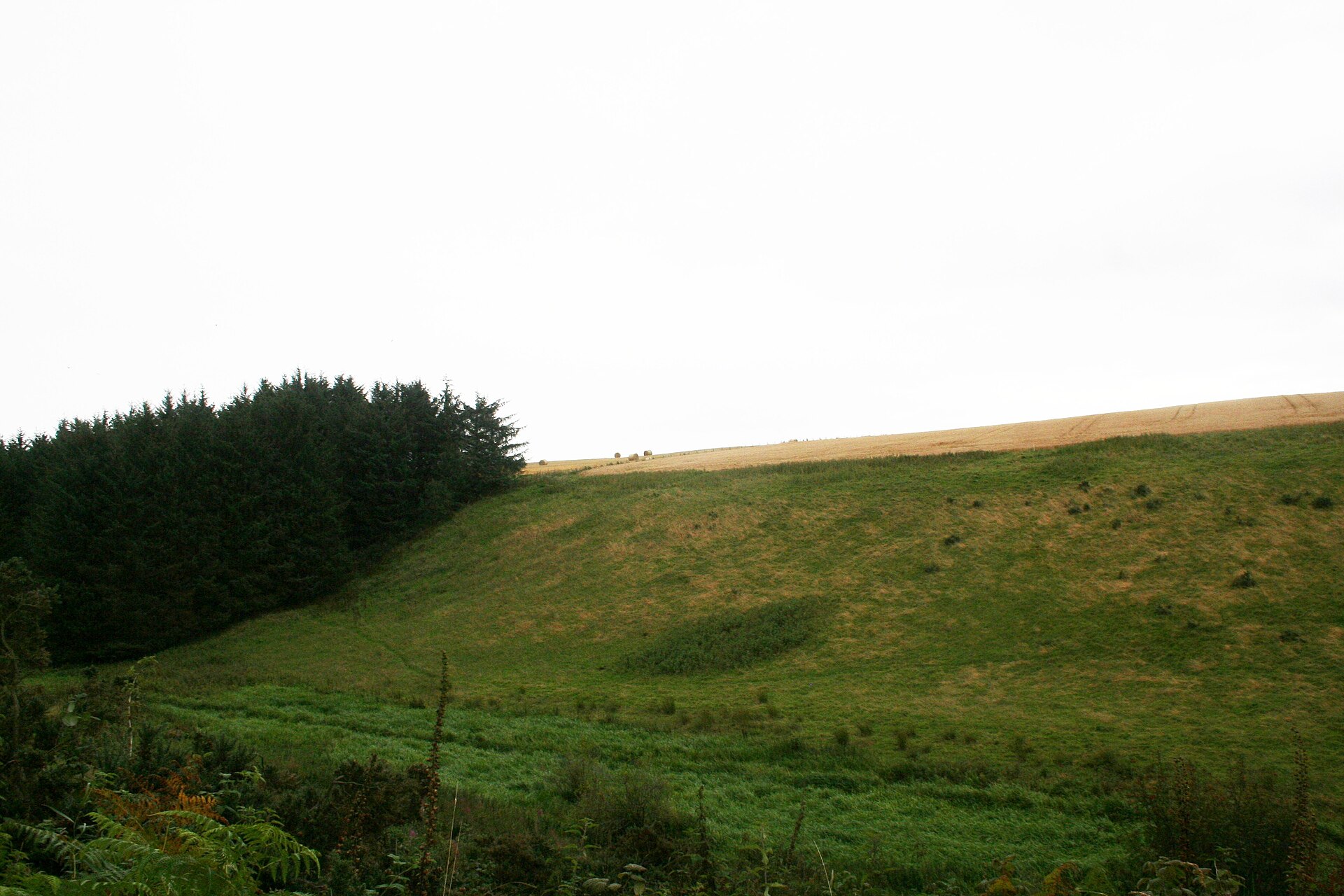
Photo: Andrew Wood / Wikimedia Commons / CC BY-SA 2.0 A Roman marching camp in Aberdeenshire grouped with Burnfield on the strength of their similarly shallow boundary ditches.
Discovery & excavation
Burnfield was first identified in 1982, when aerial photography over the Deveron valley revealed the faint rectangular outline of a marching camp in the fields near Milltown of Rothiemay. No trace of the site had been recorded on the ground before that photograph was taken. Subsequent survey established the extent of the enclosure and measured its boundary ditch at only 0.69 metres (2.3 feet) deep, a detail that has since anchored the site's place in the study of Roman camps in north-east Scotland alongside records held by Canmore and the Aberdeenshire Sites and Monuments Record.
What to look for
-
A cropmark, not a monument
Burnfield has no earthwork for a visitor to see on the ground. The camp's rectangular outline exists only as a mark recovered from a 1982 aerial photograph, its line traced by the buried ditch lying beneath cultivated fields near Milltown of Rothiemay.
Plan your visit
- Location
- 57.5162°N · 2.7695°W
- Nearest settlement
- Milltown of Rothiemay
- Access
- Visible from a public way
- Terrain
- Easy going
- Time needed
- About 10 minutes
- What survives
- No above-ground remains survive: the probable Roman marching camp is known only as a cropmark in cultivated fields.
Opening & admission
No current visitor or admission information is recorded — check locally before travelling.
- No trace of the camp is visible above ground; it survives only as a cropmark identified from aerial photography, on farmland by the River Deveron.
Nearby places
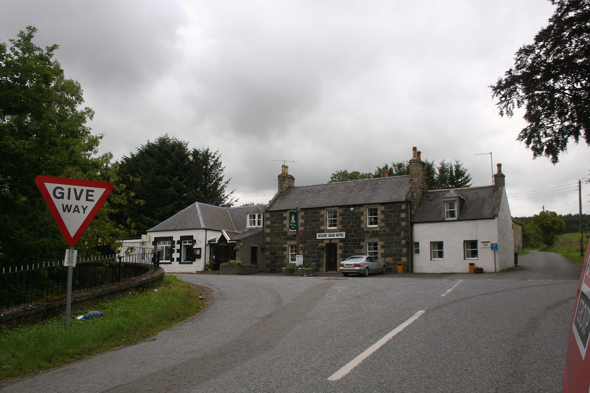
Sacred place · Prehistoric
Yonder Bognie
Aberdeenshire
One of more than seventy recumbent stone circles unique to lowland Aberdeenshire, its closest architectural parallels lie not in Scotland but in so…
- Near Huntly
- Easy path
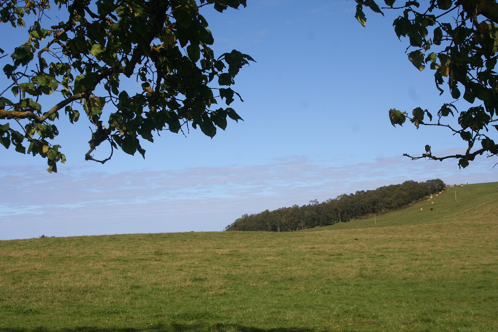
Fortified place · Roman
Muiryfold
Moray
A Roman marching camp of over 41 hectares, hidden until aerial photography found its ditches from the air in 1959: physical proof that Severus's le…
- Near Keith
- Some walking
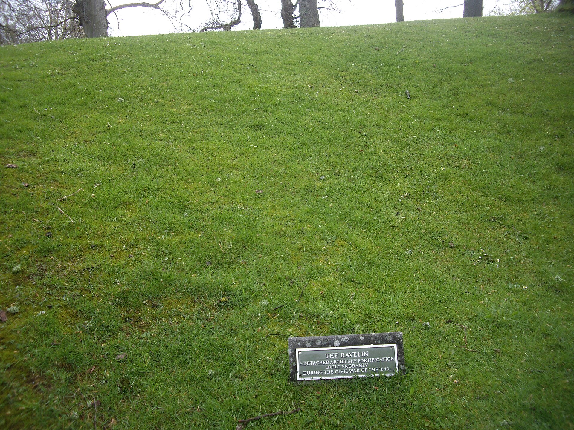
Fortified place · Medieval
Huntly Castle
Aberdeenshire
Four successive castles rose on this one riverside site, each rebuilt by the Gordons after fire, siege or royal demolition: a single ruin holding f…
- Easy path
Fortified place · Roman
Auchinhove
Moray
Auchinhove is a large Roman marching camp east of Keith, discovered from the air in 1949 and preserving evidence of Roman military movement in Moray.
- Near Keith
- Some walking
Questions people ask
- What is Burnfield?
- Burnfield is the site of a probable Roman marching camp beside the River Deveron near Milltown of Rothiemay, Aberdeenshire, identified from a 1982 aerial photograph.
- How big was the camp?
- Its full extent is unknown. It enclosed at least 9.72 hectares (24 acres), and the surrounding terrain makes it unlikely to have exceeded about 16 hectares (40 acres).
- Can the camp be seen today?
- No earthwork survives above ground. The site was found through aerial photography and remains visible only as a cropmark in cultivated fields.
- Why is Burnfield compared to Auchinhove and Ythan Wells?
- Its boundary ditch was unusually shallow at just 0.69 metres (2.3 feet) deep, a feature it shares with the nearby Aberdeenshire camps at Auchinhove and Ythan Wells.
- Who has studied Burnfield?
- It is recorded by Canmore and the Aberdeenshire Sites and Monuments Record, and was catalogued in Alan F. Leslie's 1995 doctoral thesis on Roman temporary camps in Britain.
Sources
- Historic Environment Scotland — Canmore
- Aberdeenshire Sites and Monuments Record
- Leslie, Alan F., "Roman Temporary Camps in Britain" (PhD thesis, University of Glasgow, 1995)
- Wikipedia: Burnfield (Roman camp)
Explore more: Fortified places · Roman · Aberdeenshire
The Ancient Codex, in your pocket
Get the Pocket Codex app
Carry the directory with you — Burnfield and thousands of ancient places across Britain and Ireland, offline, wherever you roam.