
Assessed to have sheltered 50,000 to 60,000 men, this is one of the largest Roman camps ever built in Scotland — a single night's stop on a campaign pushed deep into Pictish (of the Picts, the people of northern and eastern Scotland from about AD 300 to 900) territory.
Somewhere in the fields north of Forfar, an army large enough to fill a fair-sized modern town once pitched camp for a single night. There is little to see on the surface now, but the ground here was levelled, ditched and banked by Roman soldiers on campaign against the Picts, laid out on a scale that later assessment put at 50,000 to 60,000 men — a temporary city of leather tents, cooking fires and picketed horses that vanished again within days.
Tradition has it that the Picts were watching. According to the sixteenth-century chronicler Hector Boece, the tribal chiefs of the region gathered at a castle beside nearby Forfar Loch to plan how to meet the Roman advance. The Romans, with their superior equipment and organisation, are said to have won the encounters that followed, only for the Picts to reassert themselves in due course and push the legions back out of the region.
Battledykes was never an isolated outpost. It sat at the southern end of a chain of camps that continued north through the Angus and Aberdeenshire countryside, each one a further stage in campaigns that carried Roman arms deeper into Scotland than almost anywhere else they fought. The site survives today as a scheduled monument, one of the clearest physical traces of how far, and how briefly, Rome’s reach extended into Pictish land.
What follows is drawn from published sources, with each claim labelled by how firmly it is established.
History
During the 1st to 4th centuries AD, Roman armies invaded the territory north of the Tay on several occasions, pressing into the lands held by the Picts. To support one of these campaigns, the legions built a marching camp at Battledykes, roughly three miles north of Forfar, laid out on a scale assessed to have sheltered between 50,000 and 60,000 men, making it one of the largest Roman camps known anywhere in Scotland.
Tradition recorded by the sixteenth-century chronicler Hector Boece holds that Pictish chiefs gathered at a castle beside Forfar Loch to plan how to resist the Roman advance. The Romans, better equipped and organised, are said to have prevailed in the fighting that followed, only for the Picts to reassert themselves and eventually push the legions back out of the region in later campaigns.
Battledykes did not stand alone. Moving north from this camp, the Romans laid out a further succession of marching camps, including Stracathro, Raedykes and Normandykes, each a stage in a chain that marked the army's route deeper into Pictish territory and shows how far these campaigns were pushed beyond the Forth. Historic Environment Scotland has since scheduled the site as a monument of national importance under the designation SM2308, protecting the surviving remains of the camp as physical evidence of one of the furthest Roman campaigns ever mounted into Scotland, deep in territory the legions never permanently held.
People
-
Hector Boece
Sixteenth-century historian whose chronicle records the tradition of a Pictish council held near Forfar Loch to plan resistance against the Roman advance.
Cultural influences
-
Roman campaigning route
Battledykes belongs to a chain of Roman marching camps that carried armies through Angus and into north-east Scotland during successive campaigns.
Connections
-
Stracathro (Roman camp)
Part of the same chain of Roman marching camps extending north from Battledykes into Angus.
-
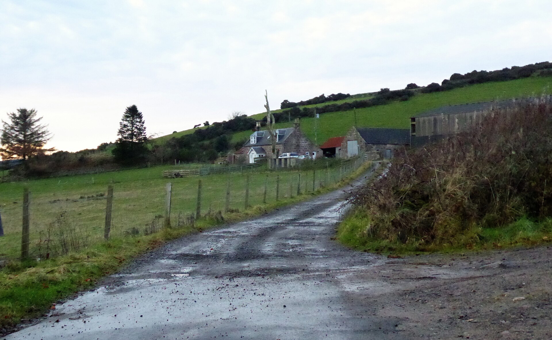
Photo: Stanley Howe / Wikimedia Commons / CC BY-SA 2.0 A further stage in the succession of Roman camps that carried the campaign north from Battledykes.
-
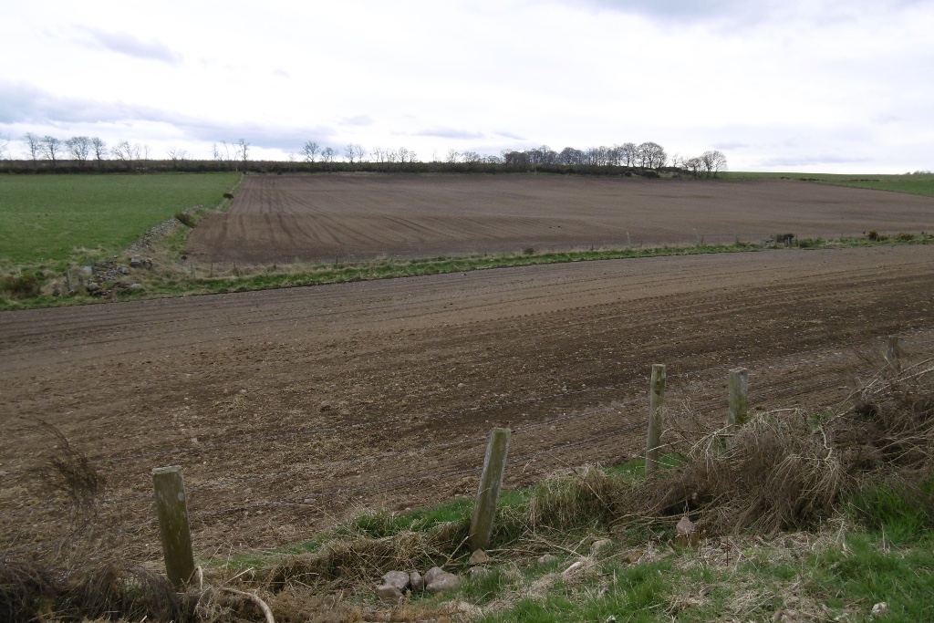
Photo: Richard Webb / Wikimedia Commons / CC BY-SA 2.0 The northernmost of the linked camps in the same sequence of Roman advances beginning at Battledykes.
What to look for
-
Scale of the camp
The camp's assessed capacity of 50,000 to 60,000 men marks it as one of the largest Roman military sites known in Scotland, reflecting the scale of force mustered for campaigns against the Picts.
-
Position in the camp chain
Sited roughly three miles north of Forfar, Battledykes marks the southern end of a chain of Roman camps that continues north through Stracathro, Raedykes and Normandykes.
What is said
Folklore and tradition, recorded as what is said — not as established fact.
-
The council at Forfar Loch
According to a tradition recorded by Hector Boece, Pictish chiefs are said to have met at a castle beside Forfar Loch to plan how to repel the invading Roman armies.
Plan your visit
- Location
- 56.6882°N · 2.8870°W
- Nearest settlement
- Forfar
- Access
- Open access
- Terrain
- Moderate walking
- Time needed
- About 30 minutes
- Best time
- Clear daylight, when the camp’s position in the open countryside can be understood.
- What survives
- A scheduled Roman marching-camp site in open countryside, with little visible surface evidence recorded.
- Facilities
- No visitor facilities are recorded.
Opening & admission
No admission charge is expected for this scheduled monument, but check Historic Environment Scotland's site before travelling.
- Scheduled monument in open countryside north of Forfar; no specific route or facilities are recorded.
Nearby places
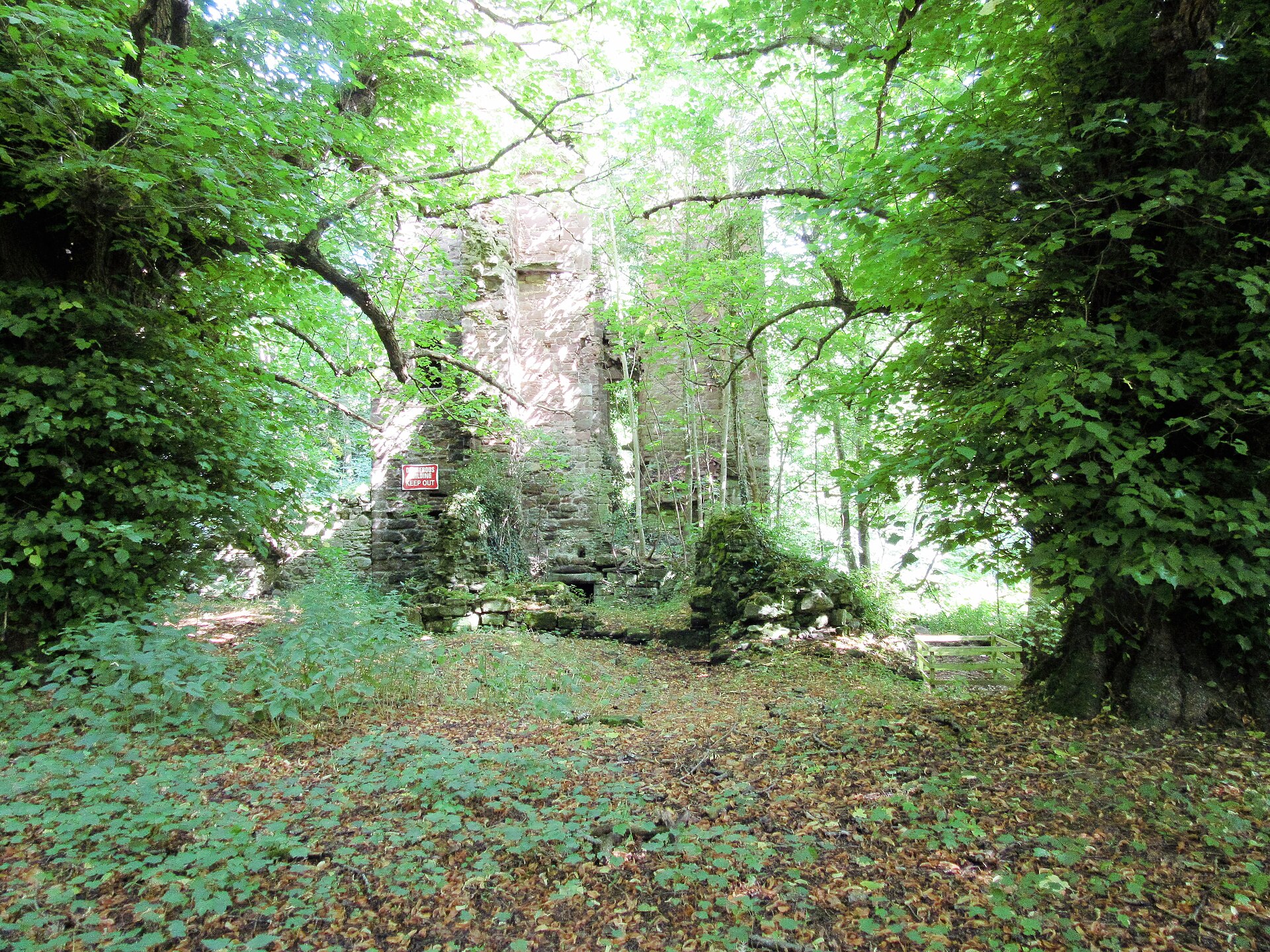
Fortified place · Medieval
Finavon Castle
Angus
Finavon Castle combines the ruins of a 17th-century L-plan tower-house with excavated evidence of a larger medieval predecessor, preserving a long-…
- Near Finavon
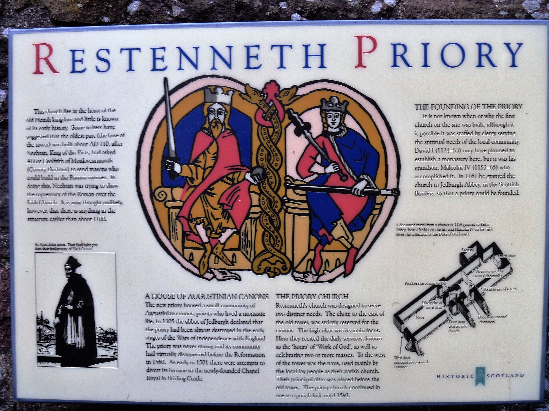
Building or ruin · Pictish & early medieval
Restenneth Priory
Angus
Restenneth Priory was a monastic house of Augustinian canons founded by Jedburgh Abbey, under the patronage of King Malcolm IV of Scotland, in 1153…
- Near Forfar
- 3 min walk from car park
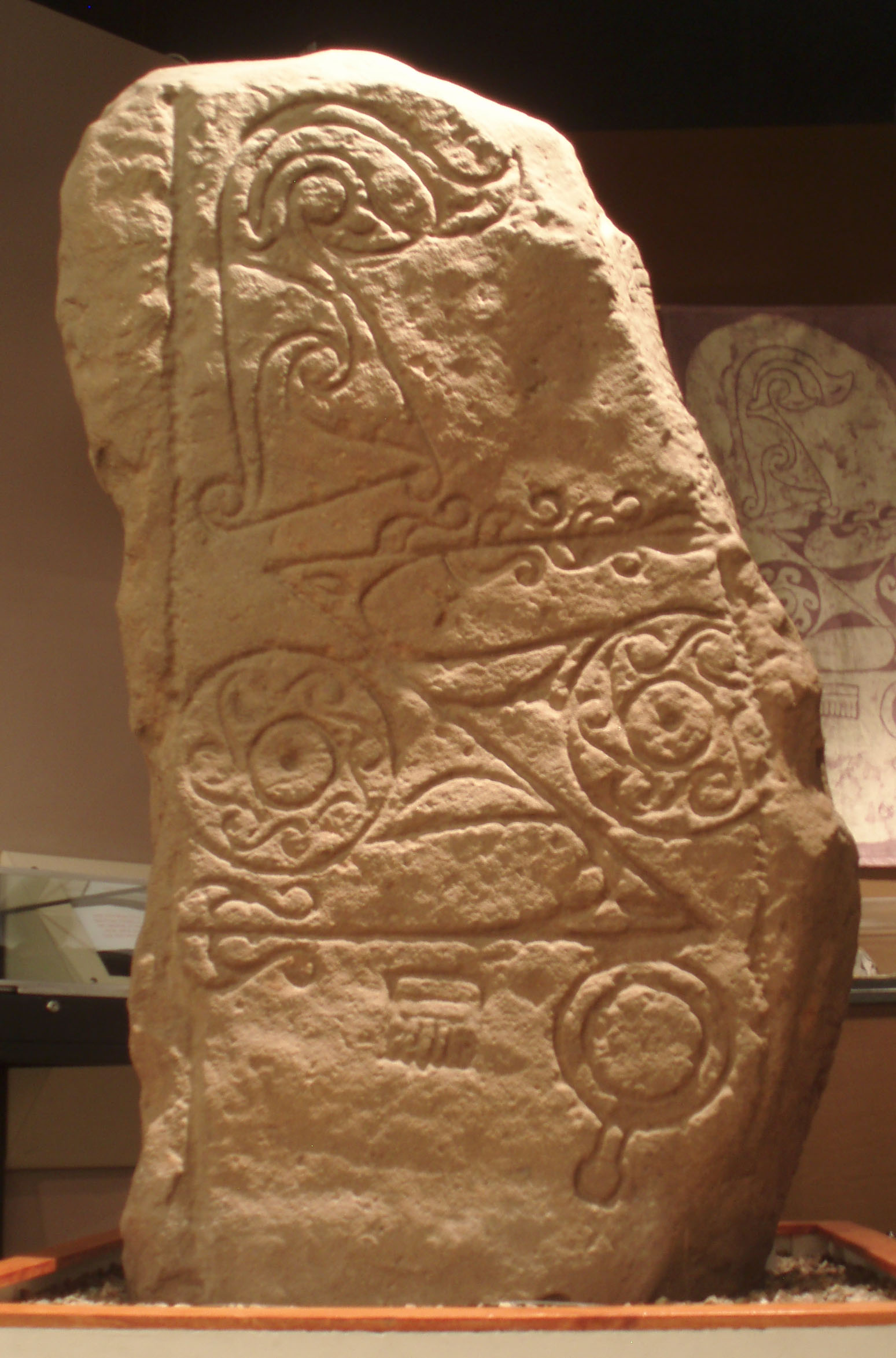
Carved stone · Pictish & early medieval
Dunnichen Stone
Angus
Its carved flower motif is rare among Pictish (of the Picts, the people of northern and eastern Scotland from about AD 300 to 900) symbol stones, w…
- Near Forfar
- Easy path
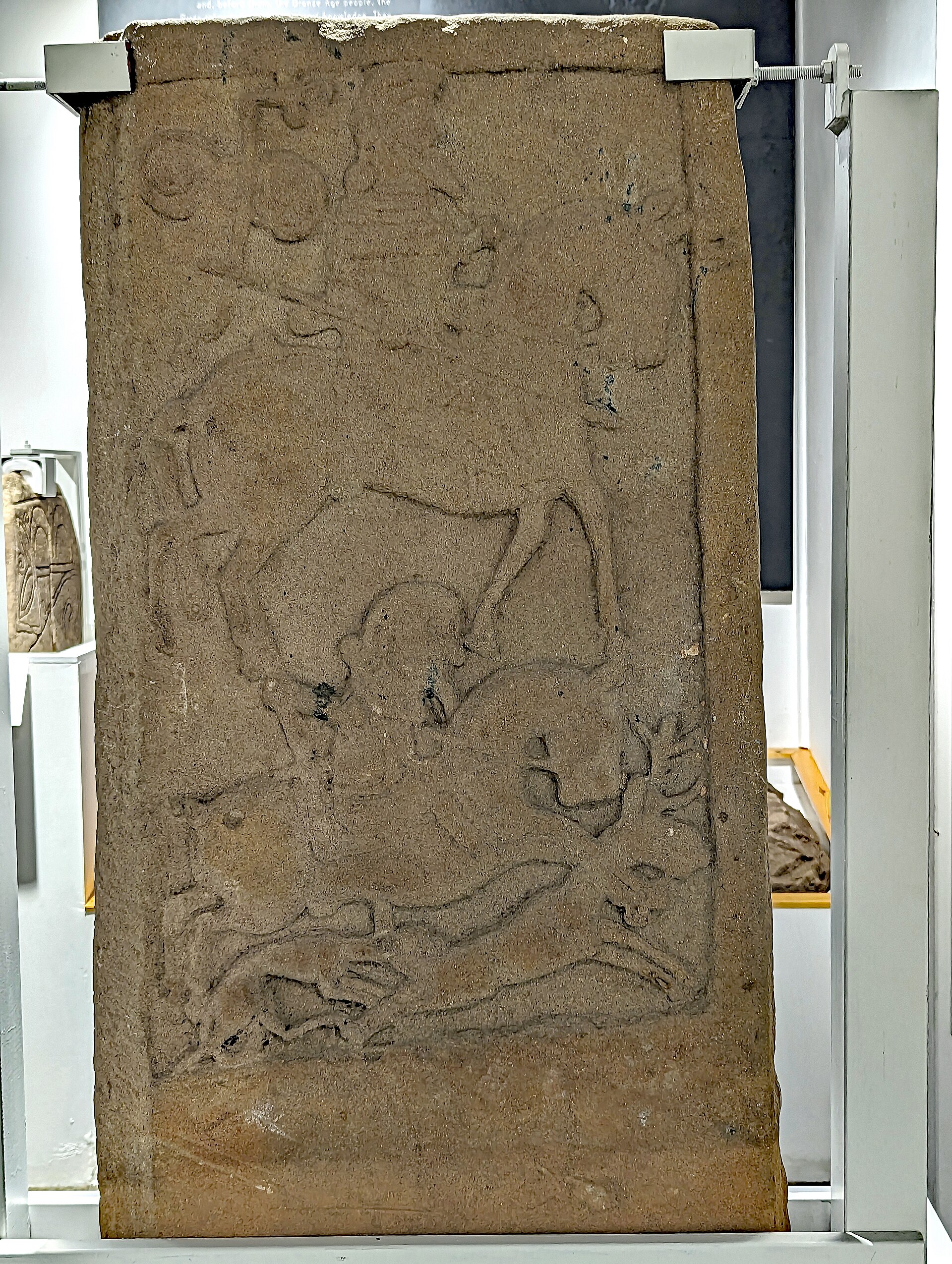
Carved stone · Pictish & early medieval
Kirriemuir sculptured stones
Angus
The stones' Pictish symbols were carved as the symbol tradition itself was dying out: among the last such carvings made anywhere before it vanished…
- Near Kirriemuir
- Easy path
Questions people ask
- What is Battledykes?
- A Roman marching camp about three miles north of Forfar, Angus, assessed to have sheltered between 50,000 and 60,000 men during campaigns against the Picts.
- How large was the Roman force at Battledykes?
- The camp is assessed to have held between 50,000 and 60,000 men, making it one of the largest Roman camps recorded in Scotland.
- Is Battledykes connected to other Roman sites?
- Yes. From Battledykes northward the Romans established a chain of further camps, including Stracathro, Raedykes and Normandykes.
- What is the legend of the Pictish council near Battledykes?
- Tradition recorded by Hector Boece holds that Pictish chiefs met at a castle by Forfar Loch to plan resistance to the Roman invasion.
- Is Battledykes a protected site?
- Yes. It is scheduled by Historic Environment Scotland as a monument of national importance under designation SM2308.
Sources
- Historic Environment Scotland — Battledykes scheduling record (SM2308)
- Wikipedia: Battledykes
- Wikidata: Battledykes
Explore more: Fortified places · Roman · Angus
The Ancient Codex, in your pocket
Get the Pocket Codex app
Carry the directory with you — Battledykes and thousands of ancient places across Britain and Ireland, offline, wherever you roam.