
Two ramparts set barely six metres apart, likely braced by internal timbers, and traces of vitrification suggesting the fort was deliberately burned — a design and a fate rare among Highland hillforts.
Climb the steep flanks of the hill known as Doune, south-east of Nairn, and the ground finally levels into a long, S-shaped ridge still traced by the tumbled stones of two ancient walls that once ringed its summit. From up here the whole valley of the River Findhorn opens out below, the ground falling away sharply on every side except the west, and the eye is drawn along the water towards the pass of Streens and, beyond it, upper Strath Dearn.
The fort takes its name, and gives its name to a neighbouring farm, from the Scottish Gaelic Dùn Éireann — “the hillfort on the Findhorn”. The river’s own name is harder to pin down: one long-standing explanation traces it to Fionn Èire, “white Ireland”, said to refer to the pale sands at its estuary, with the same root surviving in nearby place-names such as Invererne and Earnhill.
What survives today is modest rather than monumental. Centuries of ploughing left the stonework thin on the ground, and the fort is better understood by comparison with its neighbours than by what can still be seen underfoot — one of a scatter of Iron Age strongholds strung along the Findhorn and Nairn valleys, from the much larger enclosures near Inverness to smaller duns close by.
What follows is drawn from published sources, with each claim labelled by how firmly it is established.
The name
The name Dunearn, shared with a nearby farm, derives from the Scottish Gaelic Dùn Éireann, "the hillfort on the Findhorn". The river name itself is less certain: the place-name scholar W. J. Watson proposed a derivation from Fionn Èire, "white Ireland", supposedly referring to the pale sands of its estuary. The dative form Èireann is thought to underlie the anglicised element "earn" or "erne" found in other local names, including Invererne, Cullerne and Earnhill.
History
During the Iron Age, builders chose the summit of Doune, a steep-sided hill above the River Findhorn, for a fort whose S-shaped plateau they enclosed with two parallel walls set close to the natural contour. The two ramparts lay only about twenty feet apart, a proximity that suggests they were conceived together as a single braced structure rather than as two separate phases of defence, likely stabilised internally with timber.
The fort belongs to a wider family of Iron Age strongholds along the Findhorn and Nairn valleys. Nearby, larger and more open sites such as Craig Phadrig, thought to date to around the 4th century CE, and Ord Hill of Kessock stand closer to modern Inverness, while smaller duns including Doune of Relugas, Dun Earn further down the Findhorn, Dun Evan and Castle Finlay lie scattered through the surrounding hills, placing Dunearn within a dense regional pattern of hilltop settlement.
At some point in its history the fort was subjected to intense heat, leaving traces of vitrification — stone that has been partially fused by fire — visible in the surviving remains of the inner rampart. The evidence points to the fort having been burned, whether through attack, ritual destruction, or accident, though the surviving stonework is too scattered and disturbed to establish exactly when this happened.
Long after its life as a stronghold ended, the relatively level summit of Doune was put to agricultural use, and it is thought to have been farmed and ploughed for many years up until 1906. This sustained cultivation is likely the reason the surviving stone remains of the fortification are so slight, with the ramparts reduced to little more than scattered boulders and a faint crest-line rather than standing walls.
During the Second World War the hill found a new military role: an artillery base was established within the old fort, reusing the commanding position over the Findhorn valley that had first drawn Iron Age builders to the site many centuries earlier. In 2017 research by Leif Isaksen at Lancaster University confirmed the existence of a further large hillfort at Cluny Hill in Forres, extending to some 3.6 hectares, adding another substantial site to the same regional network of Findhorn and Nairn valley strongholds to which Dunearn belongs.
Cultural influences
-
A Findhorn-valley hillfort network
Dunearn belongs to a dense group of hilltop enclosures along the Findhorn and Nairn valleys, using steep ground and close-set ramparts for defence.
Connections
-
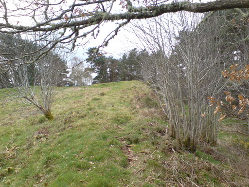
Photo: david johnston / Wikimedia Commons / CC BY-SA 2.0 A larger, more open hillfort thought to date to around the 4th century CE, grouped with Dunearn among the region's major Iron Age enclosures.
-
Ord Hill of Kessock
Another larger, open hillfort near Inverness placed in the same regional group as Dunearn.
-

Photo: Royal Commission on the Ancient and Historical Monuments of / Wikimedia Commons / Public domain A smaller fort further down the Findhorn valley named alongside Dunearn as part of the local pattern of hilltop settlement.
-
Dun Evan and Castle Finlay, Nairn valley
Smaller Iron Age structures in the neighbouring Nairn valley grouped with Dunearn as comparable local sites.
-
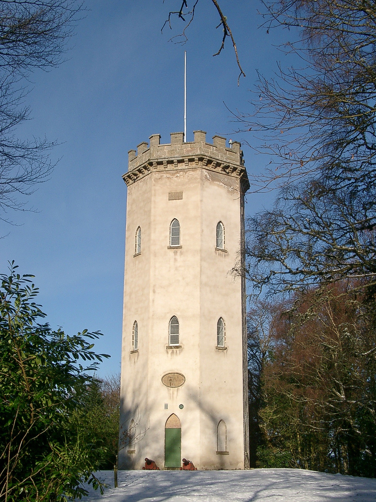
Photo: nairnbairn / Wikimedia Commons / CC BY-SA 2.0 A large hillfort of some 3.6 hectares whose existence was confirmed in 2017, adding a further site to the same regional network as Dunearn.
What to look for
-
The S-shaped summit plateau
The hilltop follows a curving, S-shaped profile, with the enclosed area covering roughly three-quarters of a hectare.
-
Two close-set ramparts
An inner rampart of scattered stones and boulders, showing signs of vitrification, lies about twenty feet inside a fainter outer wall traced by a sparse scatter of stones along the crest.
-
The south-western entrance
The fort's entrance is positioned to the south-west of the enclosure.
-
Commanding valley views
From the summit, the Findhorn valley is visible in every direction, including west towards the pass of Streens and upper Strath Dearn.
Plan your visit
- Location
- 57.4505°N · 3.7836°W
- Nearest settlement
- Forres
- Access
- Open access
- Terrain
- Rough ground — reasonable boots advised
- Time needed
- About 60 minutes
- Best time
- Daylight and clear weather, for the vitrified rampart and wide Findhorn-valley views.
- What survives
- Cultivation and later military use reduced the ramparts to scattered stones and a faint crest-line, though vitrification remains visible in the inner rampart.
Opening & admission
- Steep hillfort above the Findhorn valley; source gives no visitor access detail.
Nearby places

Fortified place · Iron Age
Doune of Relugas
Moray
Doune of Relugas is a long-occupied promontory hillfort, a hilltop enclosure ringed by earth ramparts, overlooking the Findhorn valley, where a tim…
- Near Dunphail
- Some walking

Fortified place · Medieval
Cawdor Castle
Highland
A tower house said to have been built around a living holly tree, its site chosen by tradition after a gold-laden donkey lay down to rest beneath it.

Fortified place · Iron Age
Dun Evan
Highland
A double ring of vitrified (burnt so fiercely that the stone melted and set again) and rebuilt walls crowns a rock between two river valleys, with…
- Near Cawdor
- Some walking
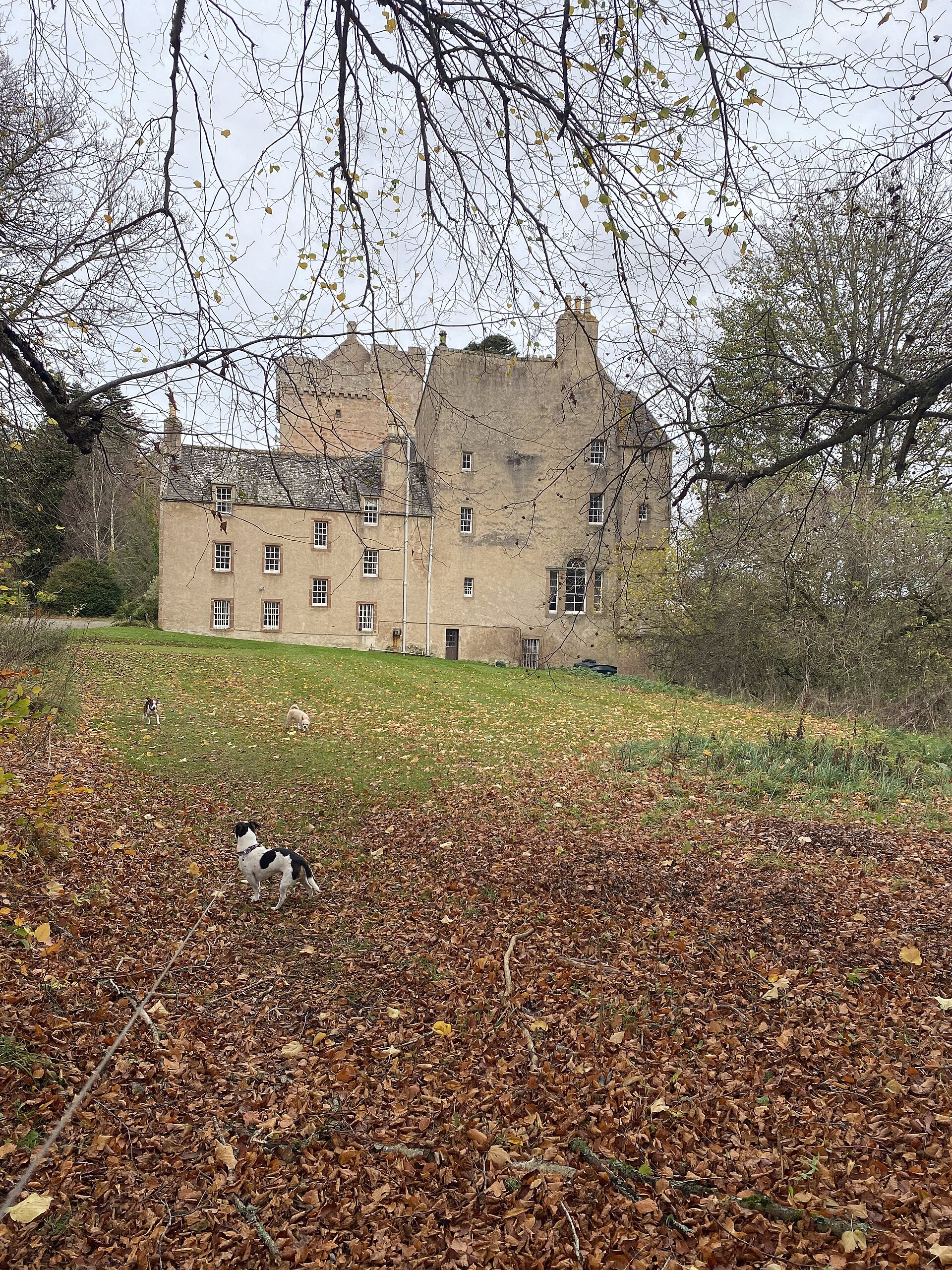
Minor monument · Medieval
Dovecot, Kilravock Castle
Highland
Kilravock’s pigeon house, built to keep birds for winter meat, makes the estate’s long-running economy tangible within a building altered from medi…
- Near Cawdor
The setting
Near Dunearn, about 29 metres away.
Photo: Rob Purvis / Wikimedia Commons / CC BY-SA 2.0
Near Dunearn, about 31 metres away.
Photo: James Stewart / Wikimedia Commons / CC BY-SA 2.0
Near Dunearn, about 50 metres away.
Photo: Donald H Bain / Wikimedia Commons / CC BY-SA 2.0
The setting near Dunearn.
Photo: Chris McKenna (Thryduulf) / Wikimedia Commons / CC BY-SA 4.0
The setting near Dunearn.
Photo: Anne Burgess / Wikimedia Commons / CC BY-SA 2.0
The setting near Dunearn.
Photo: david johnston / Wikimedia Commons / CC BY-SA 2.0
Questions people ask
- What type of site is Dunearn?
- It is an Iron Age hillfort on a steep-sided hill called Doune, enclosed by two closely set stone-and-earth ramparts around an S-shaped summit.
- What does the name Dunearn mean?
- It comes from the Scottish Gaelic Dùn Éireann, meaning "the hillfort on the Findhorn", the river the site overlooks.
- Why are the two ramparts so close together?
- Their proximity, only around twenty feet apart, suggests they were built as one braced structure, likely stabilised with internal timbers, rather than as separate walls.
- Why is so little of the fort visible today?
- The summit was farmed and ploughed for many years up until 1906, which is thought to have reduced the ramparts to scattered stones.
- Was Dunearn used after the Iron Age?
- Yes — an artillery base was established within the fort during the Second World War, reusing its commanding view over the Findhorn valley.
Sources
- Wikipedia: Dunearn
- Historic Environment Scotland — RCAHMS Emergency Survey (1943)
- Feachem, R. — A guide to prehistoric Scotland (1963)
- Watson, W. J. — The Celtic Place-Names of Scotland (1926)
- Isaksen, Leif — The Hilltop Enclosure on Cluny Hill, Forres (2017)
Explore more: Fortified places · Iron Age · Highland
The Ancient Codex, in your pocket
Get the Pocket Codex app
Carry the directory with you — Dunearn and thousands of ancient places across Britain and Ireland, offline, wherever you roam.