
Doune of Relugas is a long-occupied promontory hillfort, a hilltop enclosure ringed by earth ramparts, overlooking the Findhorn valley, where a timber-laced fire-fused rampart, a defensive embankment ringing the site, and carefully placed defences show how a naturally strong site was adapted from the first millennium BC into the late first millennium AD.
Above the meeting of the Rivers Findhorn and Divie, Doune of Relugas occupies a rocky promontory south-south-west of Forres in Moray. At about 120 metres above sea level, it looks along the Findhorn valley toward Culbin Sands and the Moray Firth.
The fort was occupied from the first millennium BC through the late first millennium AD. An oval inner enclosure, defined by a timber-laced rampart, measured 53 by 33 metres; a gap on its eastern side may mark its entrance.
The natural drops to east and south reduced the need for artificial defence, while a rampart and ditch cut across the northern and western neck of the promontory. In the nineteenth century Thomas Dick Lauder incorporated the remains into the designed landscape of the Relugas estate, giving the fort a second life as an estate feature.
What follows is drawn from published sources, with each claim labelled by how firmly it is established.
History
The hillfort was occupied from the first millennium BC through to the late first millennium AD, an exceptionally long span for the compact enclosure at the junction of the Findhorn and Divie. Its commanding outlook toward Culbin Sands and the Moray Firth indicates why the promontory was attractive, while the surviving layout shows repeated use of a naturally defensible place across changing prehistoric and early historic contexts.
At the fort’s heart, a timber-laced rampart enclosed an oval area measuring 53 metres by 33 metres. A gap on the east may be the entrance. Natural ground made extra defence unnecessary to east and south, but the accessible northern and western neck was barred by a curved ditch, 5.5 metres wide and two metres deep, behind a substantial earthen rampart.
Stones from the rampart show vitrification, evidence that the fort was burned at some point in its history. Comparable vitrified forts nearby include Dun Evan, Dun Finlay and Dun Davie. In the nineteenth century, antiquarian and author Thomas Dick Lauder incorporated the remains into the designed landscape of the Relugas estate, changing how the older earthwork was encountered and valued.
People
-
.jpg?width=320)
Portrait: William Nicholson / Wikimedia Commons / Public domain Thomas Dick Lauder
Antiquarian and author who incorporated the fort remains into the nineteenth-century Relugas estate landscape.
Cultural influences
-
The rocky promontory and wide valley views gave the fort its naturally strategic position.
-
Burned rampart stone links the site to a regional group of vitrified forts.
-
Recast the remains as a feature of the nineteenth-century Relugas landscape.
Connections
-

Photo: Chris McKenna (Thryduulf) / Wikimedia Commons / CC BY-SA 4.0 River Findhorn
The fort overlooks the Findhorn valley and occupies a promontory where the River Divie meets its wider gorge.
-

Photo: valenta / Wikimedia Commons / CC BY-SA 2.0 A similarly sized vitrified fort in the surrounding region, providing a useful comparison for Relugas’s burned rampart evidence.
-
Dun Finlay and Dun Davie
Other regional vitrified forts used to compare the burned rampart material and defensive form at Doune of Relugas.
What to look for
-
Promontory neck ditch
The curved ditch and rampart block the vulnerable northern and western approach, converting the natural promontory into a defended enclosure.
-
Inner oval enclosure
A timber-laced rampart encloses the 53-by-33-metre inner core, defining the compact defended area on the promontory.
-
Vitrified stone
Burned rampart material indicates that the fort experienced intense fire at some stage, producing its distinctive vitrified stone.
Plan your visit
- Location
- 57.5251°N · 3.6648°W
- Nearest settlement
- Dunphail
- Access
- Open access
- Terrain
- Moderate walking
- Time needed
- About 45 minutes
- Best time
- Dry daylight, when the uneven promontory and the Findhorn valley outlook are clearest.
- What survives
- The fort’s rampart, curved ditch and vitrified stone survive as earthwork archaeology on a rocky promontory.
Opening & admission
- The hillfort occupies a rocky promontory above the Findhorn and Divie; visitor access is not confirmed.
- Terrain is likely uneven if accessed with permission.
Nearby places
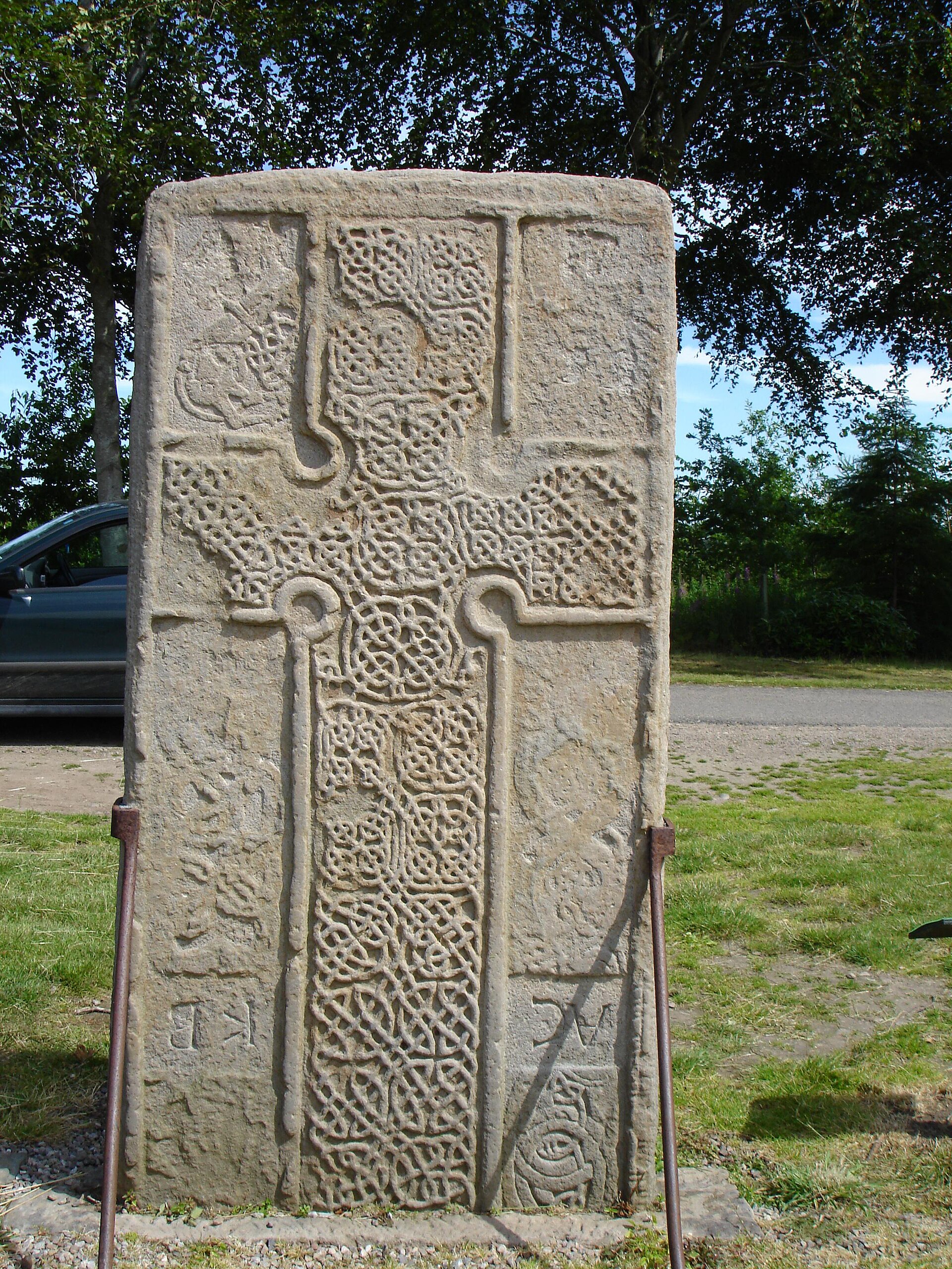
Carved stone · Pictish & early medieval
Rodney's Stone
Moray
Its Ogham inscription is the longest to survive from Pictish (of the Picts, the people of northern and eastern Scotland from about AD 300 to 900) S…
- Near Forres
- Easy path
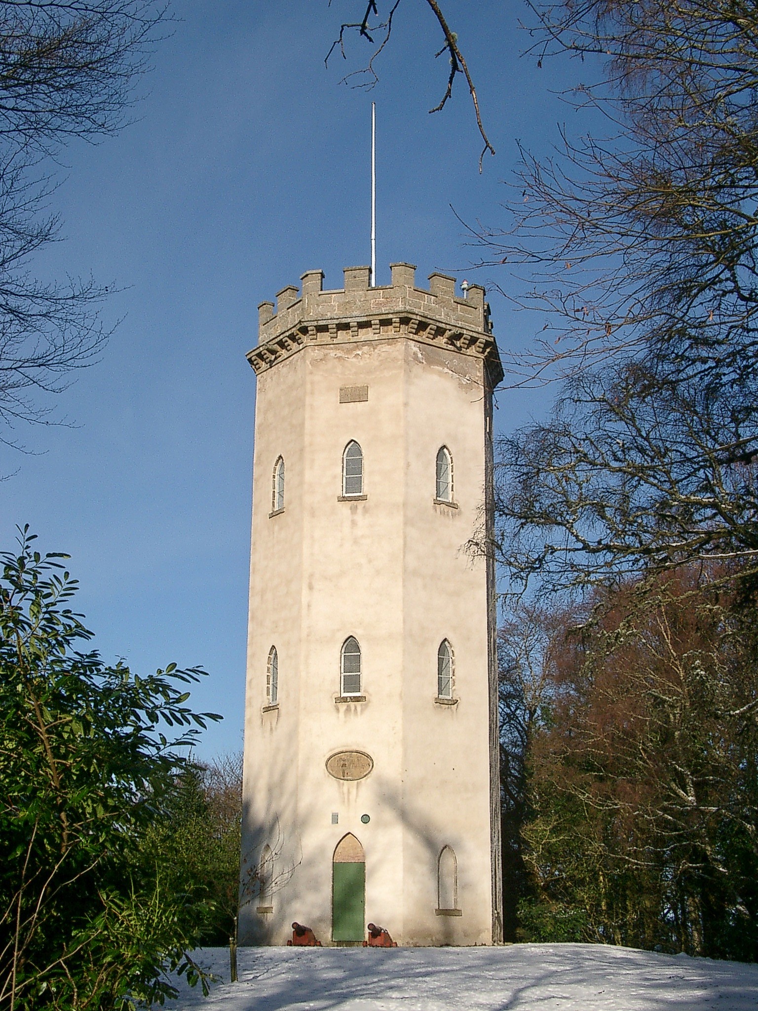
Fortified place · Iron Age
Cluny Hill
Moray
Cluny Hill brings together a confirmed prehistoric (before written records reached Britain) hillfort (an upland enclosure defended by earthen banks…
- Near Forres
- Some walking
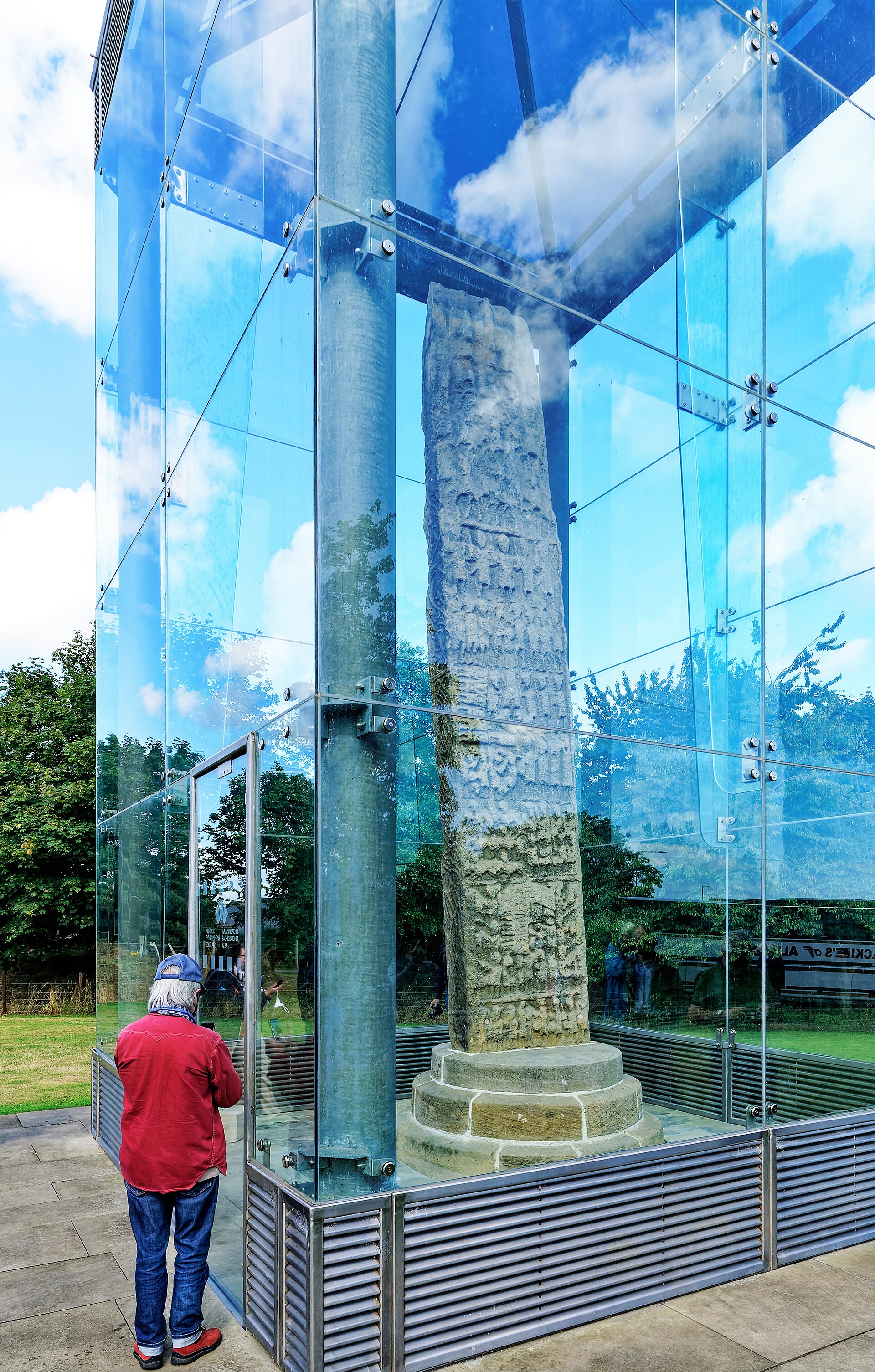
Carved stone · Pictish & early medieval
Sueno's Stone
Moray
At 6.5 metres tall it is the largest surviving Pictish (of the Picts, the people of northern and eastern Scotland from about AD 300 to 900) cross-s…
- Near Elgin
- Easy path

Fortified place · Iron Age
Dunearn
Highland
Two ramparts set barely six metres apart, likely braced by internal timbers, and traces of vitrification suggesting the fort was deliberately burne…
- Near Forres
- Rough ground
The setting
Wooded ground at the Doune of Relugas hillfort, where earthworks are difficult to distinguish on the forest floor.
Photo: thejackrustles / Wikimedia Commons / CC BY-SA 2.0
Near Doune of Relugas.
Photo: thejackrustles / Wikimedia Commons / CC BY-SA 2.0
Near Doune of Relugas.
Photo: thejackrustles / Wikimedia Commons / CC BY-SA 2.0
Questions people ask
- How long was Doune of Relugas occupied?
- The source dates occupation from the first millennium BC through the late first millennium AD.
- Why were only two sides heavily defended?
- The east and south were naturally protected, so the ditch and rampart were concentrated across the northern and western neck.
- What does vitrification mean here?
- The rampart stones were exposed to intense heat, suggesting the fort was burned at some point in its history.
Sources
The Ancient Codex, in your pocket
Get the Pocket Codex app
Carry the directory with you — Doune of Relugas and thousands of ancient places across Britain and Ireland, offline, wherever you roam.