
One of the smallest Roman installations in Scotland, grouped by archaeologists with Cargill II as the pair's most modest members rather than a major frontier stronghold.
Erosion has removed part of one ditch at Inverquharity, where a sand cliff cuts into the Roman fortlet’s former circuit. Aerial photographs and geophysical survey preserve the partial trace of the second ditch and the layout that remains above the valley.
Archaeologists count the site among the Flavian-period installations built as Roman forces pushed into Scotland in the closing decades of the first century AD, part of a chain of garrisons running through Strathmore. Its small size and position at the mouth of a glen near the Highland Line mark it out as what specialists call a glenblocker fort: a post sited to watch and close off a specific route out of the hills rather than to hold open lowland ground.
Very little digging has ever taken place here. What is known comes almost entirely from aerial photography and geophysical survey rather than excavation, so the fort’s interior and much of its detailed history remain unrecorded. It remains a modest but telling piece of the wider Roman network in Scotland, understood more through pattern and position than through anything unearthed on the ground.
What follows is drawn from published sources, with each claim labelled by how firmly it is established.
History
During the Flavian period, in the years between 70 and 86 CE, Roman forces advancing into Scotland are thought to have established a fortlet at Inverquharity, close to the line where the Highlands begin. No inscription or dated find fixes the year precisely; the dating rests on the fort's place within the wider pattern of Roman advance into the region during this period.
The fort was built as part of a linked series of installations across Strathmore, a chain that also included Inchtuthil, Cargill's two forts, Cardean, and Stracathro. Positioned at the mouth of a small valley near the Highland Line, Inverquharity was sited to watch the routes leading out of the hills rather than to dominate open lowland ground, a purpose that placed it among what archaeologists term the glenblocker forts.
In scale, Inverquharity ranks among the smallest of these Strathmore installations, comparable chiefly to Cargill II. Its modest footprint suggests a garrison tasked with observation and control of a single route rather than the broader logistical role played by larger forts such as Inchtuthil, which anchored the wider Roman network in the area.
In the centuries since, the fort's ditches have been left largely undisturbed by excavation, and one of them has been eroded where it meets a sand cliff on which the site sits. Aerial photography and geophysical survey, rather than the spade, have supplied almost everything now known about the fort's layout, leaving its internal structures entirely unrecorded.
Connections
-
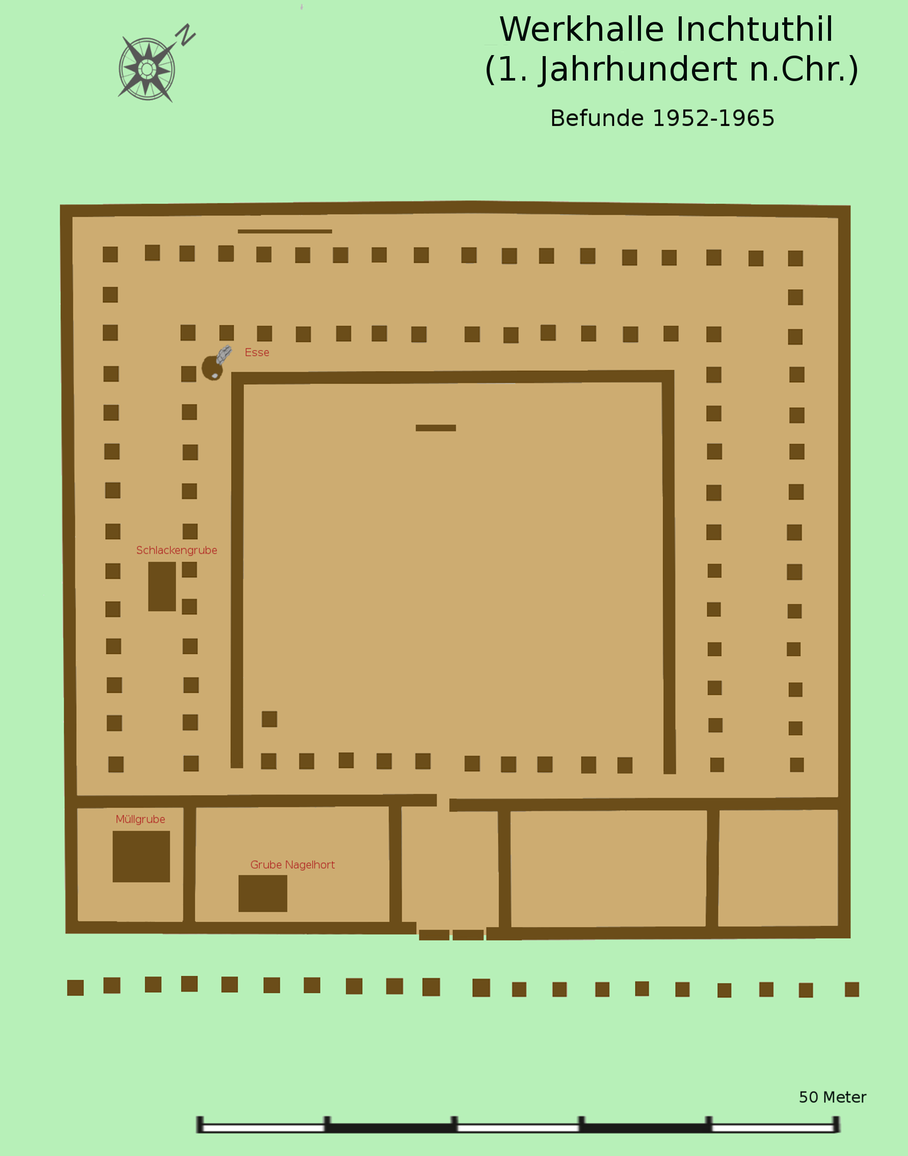
Photo: Veleius / Wikimedia Commons / CC BY 3.0 Part of the same chain of Roman Flavian-period installations across Strathmore, and the largest of the group.
-
Cargill (forts I and II)
Fellow Strathmore installations in the same Roman frontier chain; Cargill II is the closest match in size to Inverquharity, both ranking among the smallest of the series.
-
Cardean
Another fort in the same Strathmore series built during the Roman advance into the region.
-
Stracathro
The northernmost fort in the same Strathmore chain of Roman installations.
-
Kirriemuir
The Roman fortlet lies about 4.5 kilometres north-north-east of modern Kirriemuir, near the mouth of Glen Clova.
Discovery & excavation
Because almost no excavation has taken place at Inverquharity, understanding of the fort rests on aerial photography and geophysical survey. These non-invasive methods identified two ditches defining the enclosure, one of which has been eroded along the edge of the sand cliff on which the site stands. No internal buildings or structures have been identified by any method to date.
What to look for
-
Two enclosing ditches
Aerial and geophysical survey identified a pair of ditches marking the fort's perimeter, the principal visible evidence of its Roman origin.
-
Eroding sand cliff edge
At least one ditch has been cut into or lost where the site meets a sand cliff, showing the ongoing erosion affecting the earthwork.
-
Glen-mouth position
The fort sits at the mouth of a small valley close to the Highland Line, a placement chosen to watch the route leading out of the hills.
Plan your visit
- Location
- 56.7094°N · 2.9631°W
- Nearest settlement
- Kirriemuir
- Access
- Visible from a public way
- Terrain
- Moderate walking
- Time needed
- About 15 minutes
- What survives
- Little survives above ground; the fort is known chiefly from two enclosing ditches recorded by aerial photography and geophysical survey, one affected by erosion at a sand cliff.
Opening & admission
No current admission details are recorded — check with local landowners or the relevant heritage body before visiting.
- Little survives above ground and the site has seen very little excavation.
- No public access route is documented.
Nearby places
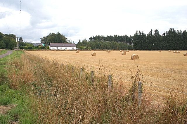
Fortified place · Roman
Battledykes
Angus
Assessed to have sheltered 50,000 to 60,000 men, this is one of the largest Roman camps ever built in Scotland: a single night's stop on a campaign…
- Near Forfar
- Some walking
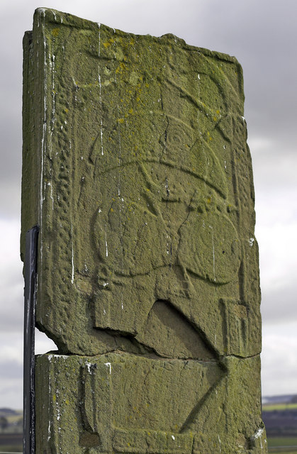
Carved stone · Pictish & early medieval
St Orland's Stone
Angus
St Orland’s in-situ cross-slab joins a richly interlaced Christian cross to symbols, hunters, a boat and beasts, preserving a remarkably complex pr…
- Near Glamis
- Some walking
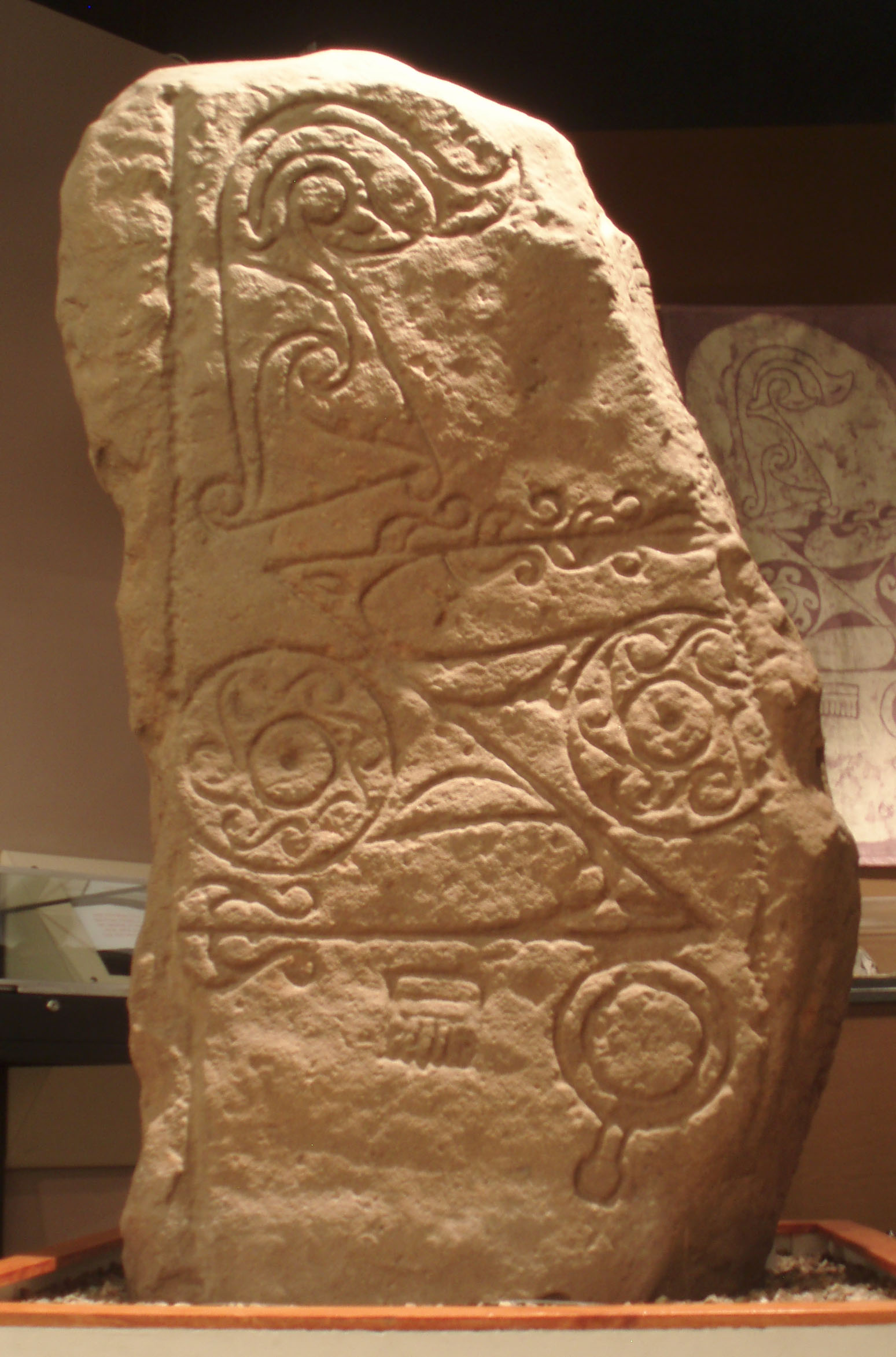
Carved stone · Pictish & early medieval
Dunnichen Stone
Angus
Its carved flower motif is rare among Pictish (of the Picts, the people of northern and eastern Scotland from about AD 300 to 900) symbol stones, w…
- Near Forfar
- Easy path
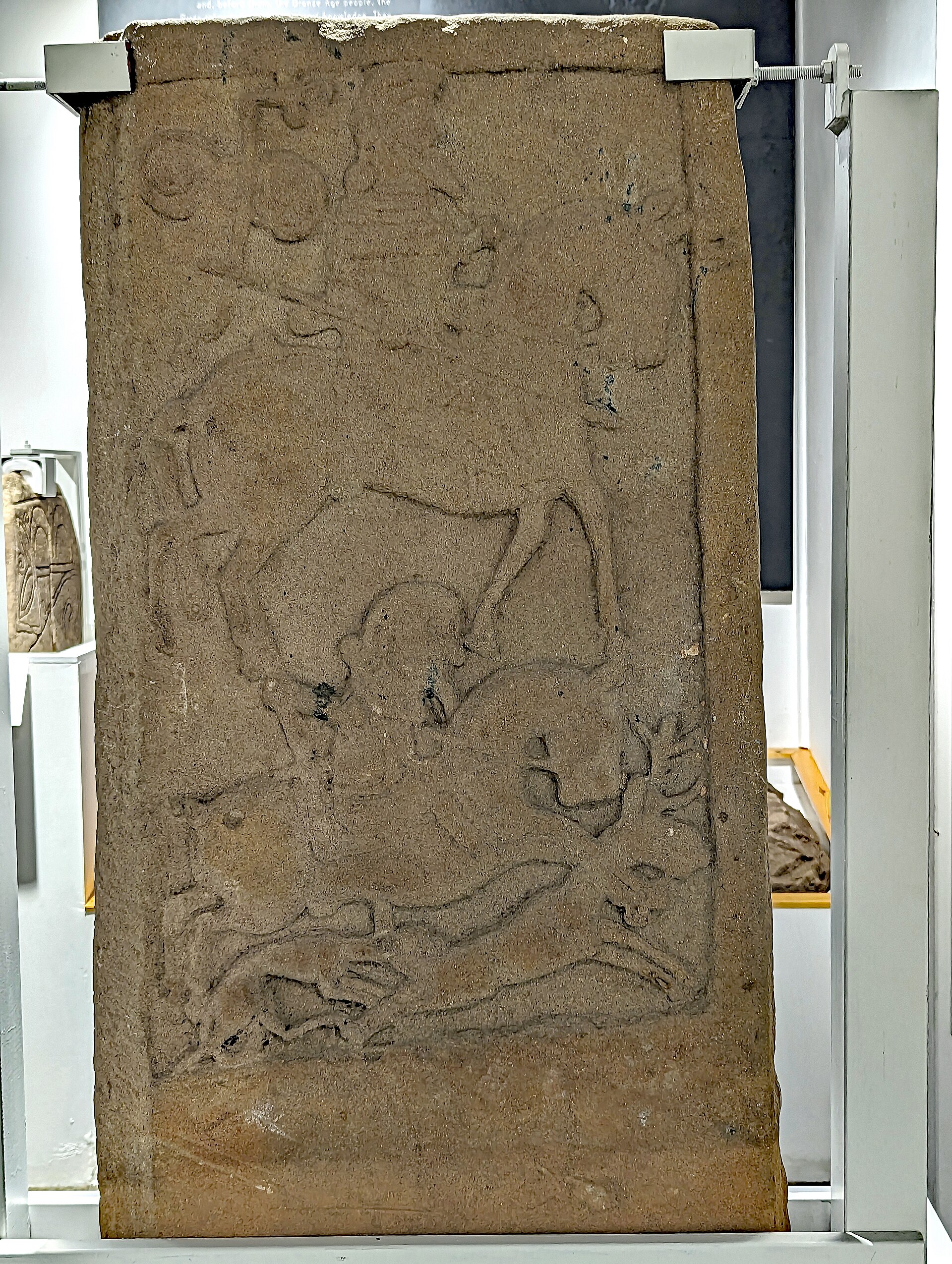
Carved stone · Pictish & early medieval
Kirriemuir sculptured stones
Angus
The stones' Pictish symbols were carved as the symbol tradition itself was dying out: among the last such carvings made anywhere before it vanished…
- Near Kirriemuir
- Easy path
The setting
Cattle pasture and farm buildings at Inverquharity; the Roman fort is not visible.
Photo: Scott Cormie / Wikimedia Commons / CC BY-SA 2.0
Questions people ask
- What was Inverquharity?
- A small Roman fortlet in Angus, thought to date from the Flavian period (70-86 CE) and built as part of a chain of forts across Strathmore.
- Why was Inverquharity built where it is?
- It sits at the mouth of a small valley near the Highland Line, positioned to watch the route out of the hills as one of the 'glenblocker' forts.
- Has Inverquharity been excavated?
- Very little archaeological digging has taken place; most knowledge comes from aerial photography and geophysical survey rather than excavation.
- What can still be seen at Inverquharity?
- Survey has identified two ditches forming the fort's enclosure, though one has been eroded by the sand cliff the site stands on.
- How does Inverquharity compare to other Roman forts in the area?
- It is one of the smallest in the Strathmore series, comparable mainly to Cargill II, much smaller than forts like Inchtuthil.
Sources
- Wikipedia: Inverquharity
- D. Breeze — Northern Frontiers of Roman Britain (1982)
- D. Breeze — Roman Scotland (2007)
- W.S. Hanson & G. Maxwell — Rome's North-West Frontier: The Antonine Wall (1986)
- D.J. Woolliscroft & B. Hoffmann — The First Frontier: Rome in the North of Scotland (2006)
Explore more: Fortified places · Roman · Angus
The Ancient Codex, in your pocket
Get the Pocket Codex app
Carry the directory with you — Inverquharity and thousands of ancient places across Britain and Ireland, offline, wherever you roam.