
One of only two intact freestanding crosses surviving in eastern Scotland, its carving points to Irish monastic influence rather than the Viking legend later attached to its name.
Deep in Camuston Wood on the Panmure Estate, a slab of red sandstone stands at the centre of a mile-long avenue, its western face so worn by weather that whole scenes have vanished into blank stone while the eastern side still shows the ghost of carved figures. Local memory calls it the grave marker of a slain Norse chief, but the carving itself tells an older, more considered story: patterns of interlace and figures that echo not Viking raiders but the monastic art of Ireland.
Tradition holds that the cross marks the spot where Camus, leader of a Norse army supposedly beaten by King Malcolm II at the Battle of Barry, was run down and killed as he fled the battlefield. The story was popularised by the sixteenth-century historian Hector Boece, and it gave the stone, and a vanished village nearby, their name. Modern scholarship treats the battle, and Camus himself, as legendary rather than historical — yet the name has stuck fast to this corner of Angus for over five centuries.
What actually stands here is a rare survival: a freestanding cross, carved on every face, dated to around the tenth century, when this part of Pictland was passing into a Gaelic-speaking, church-influenced world. Only one other cross of its kind survives intact in eastern Scotland, and the carving’s closest relative — a hogback grave-marker at Brechin — points less to Scandinavian settlers than to Irish churchmen and their artistic traditions reaching this stretch of coast.
What follows is drawn from published sources, with each claim labelled by how firmly it is established.
The name
The cross most likely takes its name from Camuston, a village that once stood nearby but had vanished by the time the first Ordnance Survey map was made in the 1850s. Camuston appears in earlier documents as 'Cambistown', a spelling place-name scholars trace to a Celtic rather than a Scandinavian root — despite the popular legend that ties the name to a Norse chief called Camus.
History
Scholars now date the Camus Cross to around the 10th century, a late Pictish and early Gaelic-era monument raised as Pictland gave way to a Gaelic-speaking, church-influenced society. Its carving lacks the animal and symbol motifs of earlier Pictish stones entirely, and its interlace and figure style instead echoes Irish insular art and the nearby Brechin Hogback, pointing to churchmen trained in an Irish tradition rather than Scandinavian settlers.
The land here appears in written record before the cross itself does: documents from 1425 and 1426 name it 'Cambistown', an earlier spelling of Camuston with a Celtic rather than Scandinavian root. These references show the place-name was already fixed more than half a century before anyone thought to write down the stone standing within it.
In 1481 a legal document settling the boundary between the lands of Camuston, held by Sir Thomas Maule, and the barony of Downie, held by the Earl of Crawford, described the line running 'from the great stone cross of Camuston' — the earliest surviving mention of the cross itself, already serving as a fixed landmark in a property dispute.
In 1527 the historian Hector Boece wove the cross into national legend, naming it in his Historia Gentis Scotorum as the place where Camus, a Norse commander supposedly defeated by King Malcolm II at the Battle of Barry, was cut down while fleeing. The tale caught on so thoroughly that the stone and the surrounding lands still carry his name today.
In 1598 a grave was opened in the bank near the cross, containing the bones of an unusually large man whose skull and thigh bone stood out for their size, and whose hand appeared to have been struck away by a sword. Robert Maule took this for the burial of Camus himself, though the accompanying grave goods, later sketched and kept at Brechin Castle, were in fact typical of the Bronze Age.
In 1620 Robert Maule, who had already recorded the finest surviving description of the carvings, moved the cross six feet to set it at the centre of the new avenue through Camuston Wood, where it still stands. His account of the sculpture, written in the Scots of the period, mistook the eastern face's figures for Moses delivering the Law rather than Christ and the evangelists.
By 1726 the antiquarian Alexander Gordon was recording the stone in his Itinerarium Septentrionale, describing a crucifixion scene on the uppermost western panel that has since weathered away almost entirely. His notes remain one of the few records of carving that later visitors could no longer make out.
People
-
Robert Maule
Antiquarian who wrote the earliest detailed description of the carvings and, in 1620, moved the cross six feet to set it at the centre of the Camuston Wood avenue.
-
Hector Boece
Sixteenth-century historian whose 1527 Historia Gentis Scotorum popularised the tale linking the cross to the death of Camus at the Battle of Barry.
-
Alexander Gordon
Antiquarian whose 1726 Itinerarium Septentrionale recorded a crucifixion scene on the western face that has since weathered away almost entirely.
-
J. Romilly Allen and Joseph Anderson
Scholars whose classification system, published in their Early Christian Monuments of Scotland, categorises the Camus Cross as a Class III stone.
Cultural influences
-
Irish insular art
The foliar tendril-and-volute carving on the cross's edges was once read as Scandinavian Ringerike-style ornament, but is now seen as closer to late tenth-century Irish insular art, and the full-face figures on the eastern side match a type found on the Brechin Hogback, associated with early medieval Irish monastic tradition.
Connections
-
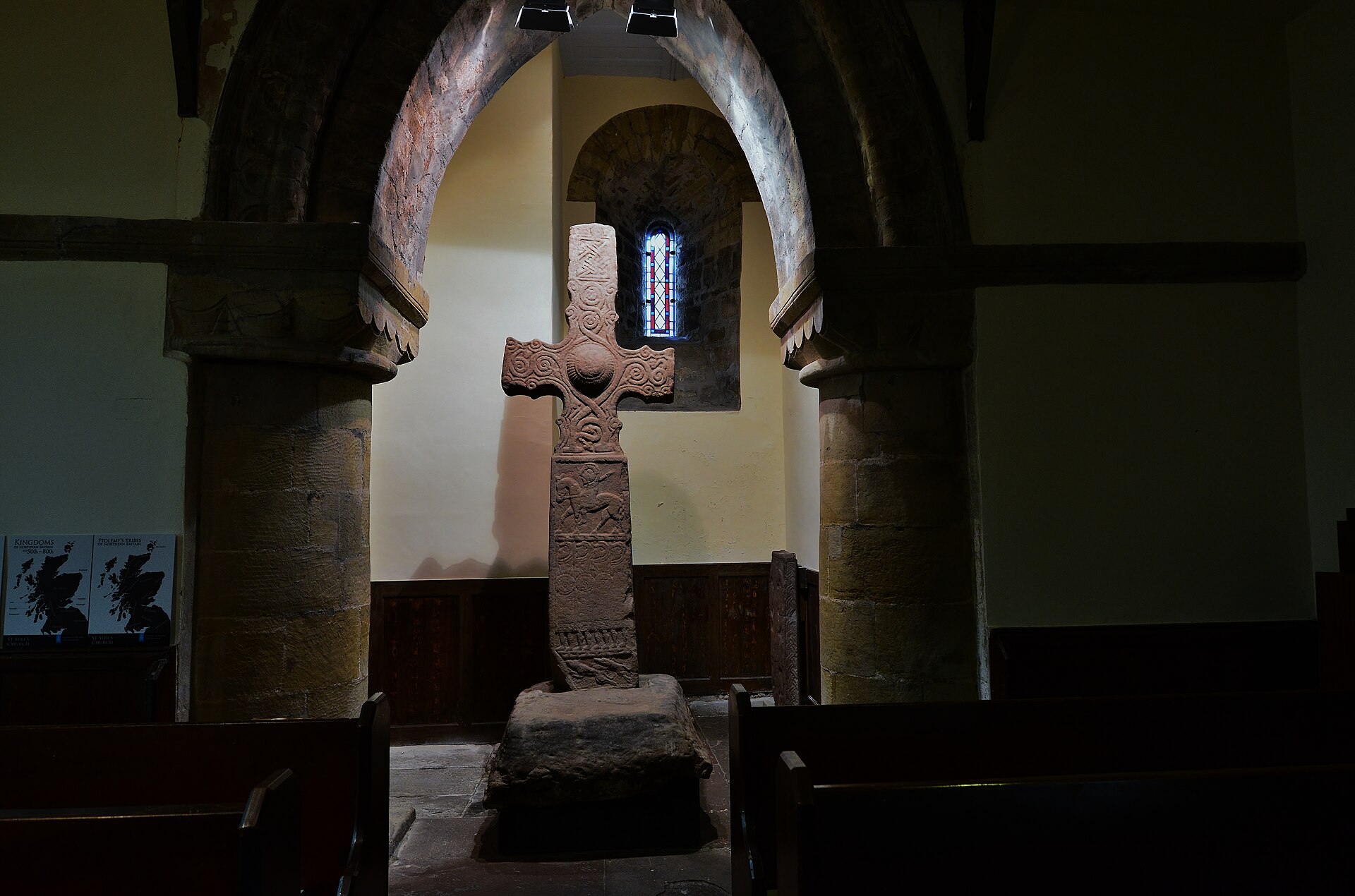
Photo: HARTLEPOOLMARINA2014 / Wikimedia Commons / CC BY-SA 3.0 The only other intact freestanding cross of comparable age surviving in eastern Scotland, making the two crosses a matched, and very rare, pair.
-
Brechin Hogback stone
Carries figures on its carved surface of an identical type to those on the Camus Cross's eastern face, pointing to a shared artistic tradition rooted in early medieval Irish monasticism.
-
Forteviot, St Vigeans and Strathmartine
Sites where only the carved heads of comparable freestanding crosses survive, underlining how unusual it is for the Camus Cross to remain complete.
-
Brechin Castle
Where the grave goods disinterred near the cross in 1598, later identified as Bronze Age artefacts, were kept and sketched by the antiquary Jervise.
-
Battle of Barry
Local tradition places the cross where Camus, the legendary Norse commander, was said to have been killed after the Battle of Barry; the tale was popularised by Hector Boece.
Discovery & excavation
In 1598 a grave was found in the bank near the cross holding the remains of an unusually large man, his skull notably big and part of one hand apparently struck away by a sword. Robert Maule took the burial to be that of Camus himself, but the grave goods it contained were later recognised as typical Bronze Age artefacts rather than relics of an eleventh-century Norse chief, and were kept at Brechin Castle after being sketched by the antiquary Jervise.
Finds now held at: Brechin Castle.
What to look for
-
The eastern face
Usually read as Christ flanked by angels above the four evangelists, though Robert Maule's earliest description took the same scene for Moses delivering the Law — a reminder of how differently the same carving has been read over the centuries.
-
The weathered western face
Divided into three sections: an almost entirely weathered crucifixion scene at the top, a centaur drawing a bow below it, and a symmetrical floral scroll at the base.
-
The edge carving
Tendrils and volutes with a distinctive 'wave-crest' thickening run down the north and south edges, carving once thought Scandinavian in style but now linked to late tenth-century Irish art.
-
The earthen mound
The cross stands on a low mound at the centre of the Camuston Wood avenue, facing broadly east to west along the route between the Panmure Testimonial and the site of the former Panmure House.
What is said
Folklore and tradition, recorded as what is said — not as established fact.
-
The Slaying of Camus
Local tradition holds that Camus, a Norse commander said to have been routed by King Malcolm II at the Battle of Barry, was hunted down and cut off at the very spot where the cross now stands.
-
Camus's Grave
The large skeleton disinterred nearby in 1598 was reputedly identified by Robert Maule as the body of Camus himself, on account of the man's great size and an apparent sword-strike to the hand.
Plan your visit
- Location
- 56.5306°N · 2.7836°W
- Access
- Open access
- Terrain
- Easy going
- Time needed
- About 20 minutes
Opening & admission
Free to view; check Historic Environment Scotland's site for current details.
- Stands in Camuston Wood on Panmure Estate, reached along a wooded avenue
- Located in open woodland rather than a fenced or gated site
Nearby places
Fortified place · Medieval
Affleck Castle
Angus
Its interior has scarcely been touched since the 1700s: spy-hole, private chapel and mural bedrooms all still in place, making it one of the most c…
- Near Monifieth
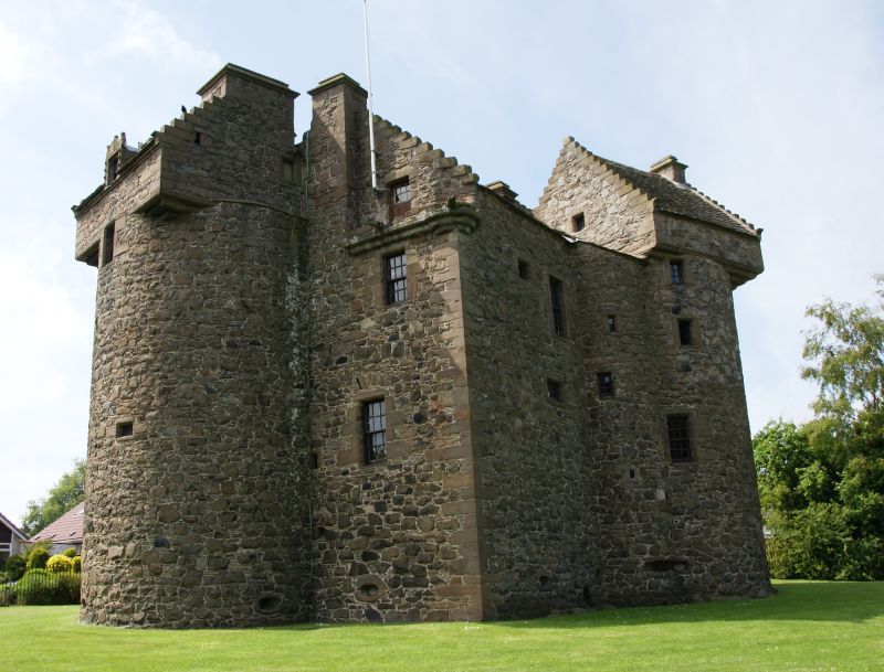
Fortified place · Medieval
Claypotts Castle
Dundee City
Claypotts Castle is one of Scotland’s best-preserved sixteenth-century Z-plan tower houses, combining a compact domestic residence with a striking…
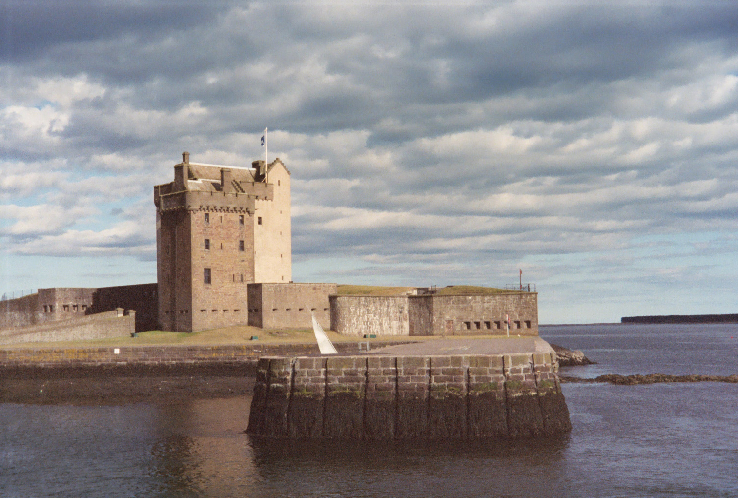
Building or ruin · Medieval
Broughty Castle
Dundee City
Broughty Castle guards the mouth of the River Tay and shows five centuries of adaptation: a late-medieval tower house repeatedly reshaped for artil…
- Easy path
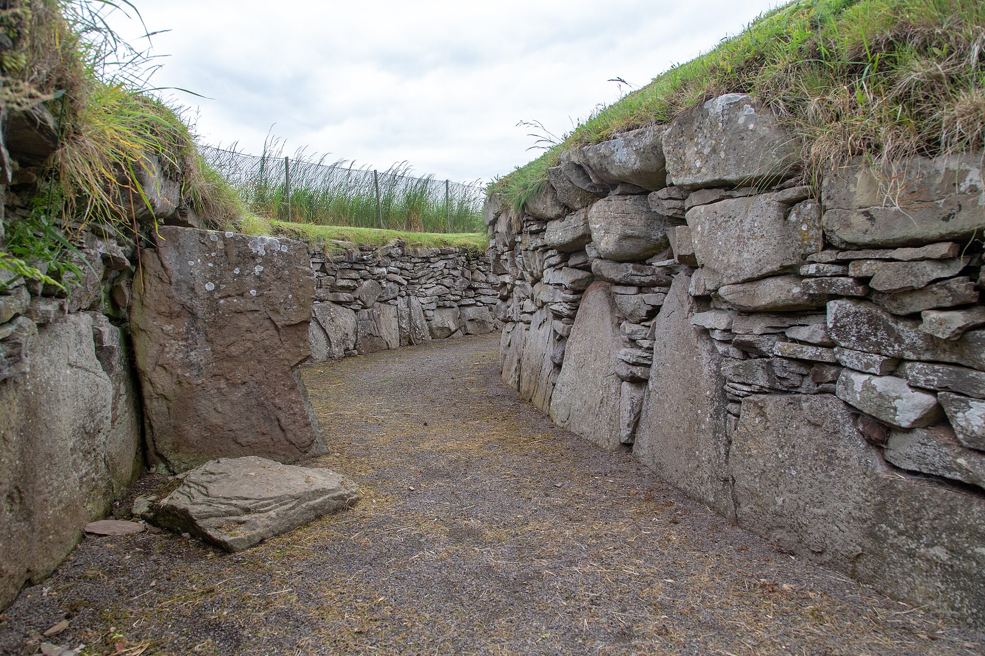
Building or ruin · Medieval
Tealing Earth House
Angus
Its walls incorporate two Bronze Age (roughly 2500–800 BC, when metal tools first spread) stones carved with cup-and-ring marks, built by Iron Age…
- Near Tealing
The setting
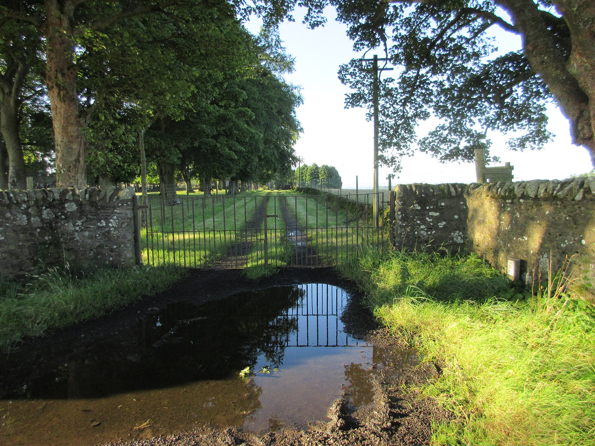
Track into Guildy Den Wood near Camus Cross; the cross is not visible.
Photo: Russel Wills / Wikimedia Commons / CC BY-SA 2.0
Track towards East Hillhead in the landscape around Camus Cross; the cross is not visible.
Photo: Russel Wills / Wikimedia Commons / CC BY-SA 2.0
Questions people ask
- How old is the Camus Cross?
- It is thought to date from around the 10th century, a late Pictish or early Gaelic-era monument, based on the style of its carving rather than any inscription.
- Who was Camus?
- Camus was said to be the Norse commander defeated by King Malcolm II at the legendary Battle of Barry; historians now regard both the battle and Camus as legendary rather than real.
- Why is the Camus Cross significant?
- It is one of only two intact freestanding crosses surviving in eastern Scotland, alongside the Dupplin Cross, and its carving shows strong Irish artistic influence rather than Pictish symbolism.
- Where is the Camus Cross located?
- It stands on a low earthen mound within a wooded avenue on the Panmure Estate, around four kilometres northwest of Carnoustie in Angus.
- Was a body really found near the cross?
- In 1598 a grave containing an unusually large skeleton was found nearby and linked to Camus, but the accompanying grave goods were later identified as Bronze Age artefacts.
Sources
- Historic Environment Scotland — Canmore
- Wikipedia: Camus Cross
- Allen, J. Romilly & Anderson, Joseph — Early Christian Monuments of Scotland (1903)
- Henderson, George & Henderson, Isabel — The Art of the Picts (2011)
Explore more: Carved stones · Pictish & early medieval · Angus
The Ancient Codex, in your pocket
Get the Pocket Codex app
Carry the directory with you — Camus Cross and thousands of ancient places across Britain and Ireland, offline, wherever you roam.