
Fortified place · Roman · Perth and Kinross
Bertha (Perth)
A Roman fort north of Perth at the meeting of the Almond and the Tay.
Two rivers meet north of Perth, the Almond running into the Tay, and the Romans built a fort in the angle between them. The site is called Bertha, and the choice is entirely characteristic — a confluence controls movement along both waterways at once, and gives water on two sides without a well.
It belongs to the Roman push north into Caledonia, one of a chain of works strung up the eastern side of the country. The Tay was among the significant crossings on that route, and Bertha is where the crossing was watched from.
Nothing of it stands. The fort is known from its earthworks and from what excavation has recovered, which is the usual state of Roman military sites in Scotland north of the Antonine Wall.
What follows is drawn from published sources, with each claim labelled by how firmly it is established.
History
Bertha is the site of a Roman fort north of modern Perth, placed at the confluence of the River Tay and the River Almond. Roman forts in Scotland are repeatedly sited at river junctions, which control movement in two directions at once and give a water supply on more than one side. The fort belongs to the Roman advance into what the Romans called Caledonia, part of a chain of works pushed north along the eastern side of the country. Its position on the Tay puts it at one of the key crossings of that route.
Nothing of the fort stands above ground. What is known of it comes from its earthworks and from excavation rather than from any visible structure, which is the ordinary condition of Roman military sites in Scotland outside the Antonine Wall.
Cultural influences
-
A Roman river-junction fort
Bertha controlled the confluence of the Tay and Almond as part of the Roman advance north through Caledonia.
Connections
-
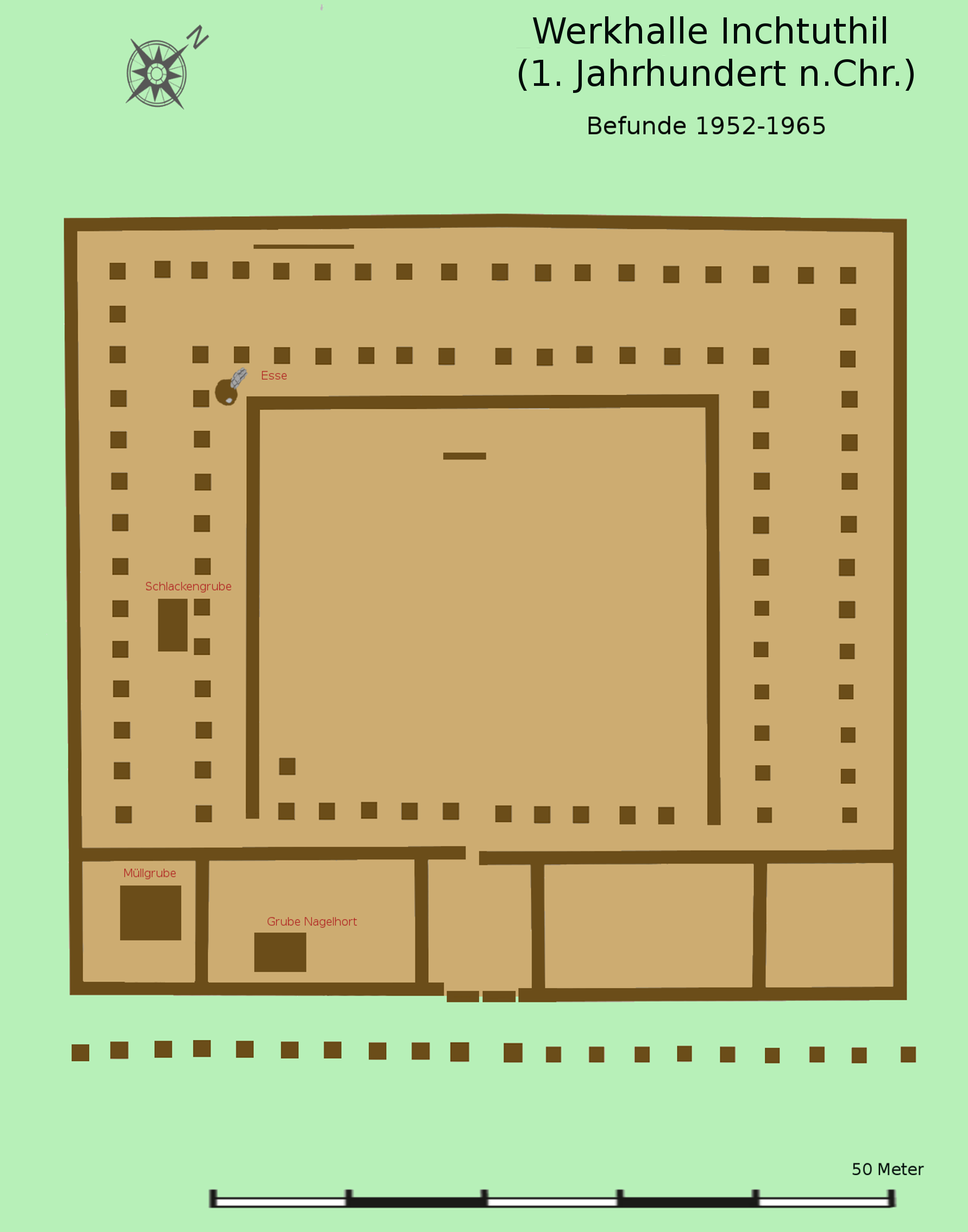
Photo: Veleius / Wikimedia Commons / CC BY 3.0 Both are Roman forts in Perthshire, preserving the military network that controlled movement through the Tay and Almond valleys.
-
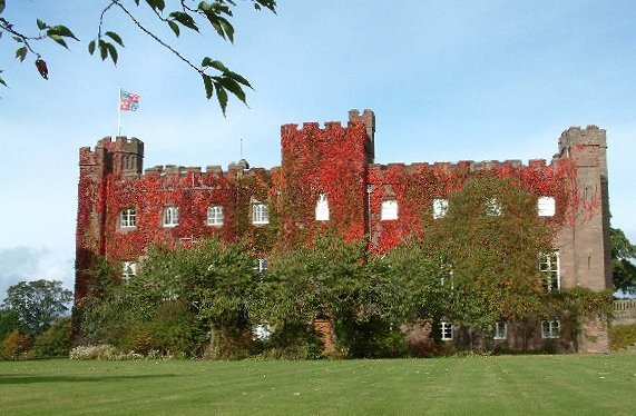
Photo: Peter Hodge / Wikimedia Commons / CC BY-SA 2.0 The Roman fort and later royal and ecclesiastical centre represent successive phases of power in the Perthshire landscape.
-
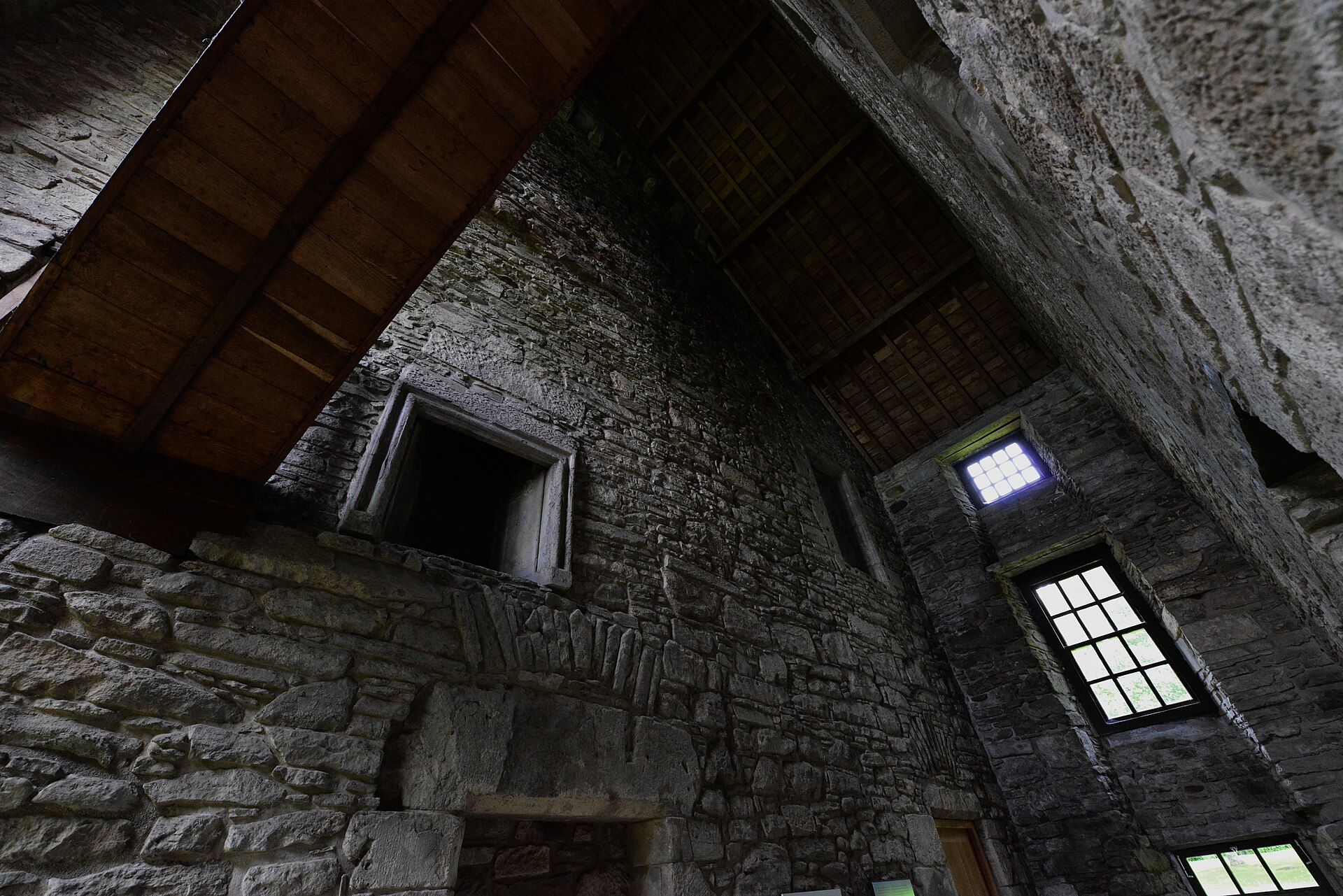
Photo: HARTLEPOOLMARINA2014 / Wikimedia Commons / CC BY-SA 4.0 The fort and castle reflect successive systems of defence and elite occupation around Perth and the River Tay.
Discovery & excavation
Excavation and surviving earthworks provide the evidence for the fort; no Roman building stands above ground.
What to look for
-
The confluence of Tay and Almond
The fort occupies the angle where the Almond runs into the Tay. Two rivers meeting means two routes controlled from one position, and water on more than one side without digging a well.
-
A link in a northern chain
Bertha was one of a series of works pushed up the eastern side of Scotland during the Roman advance into Caledonia, so it should be read as part of a line rather than as a solitary outpost.
-
Nothing above ground
The fort survives only as earthworks and as what excavation has recovered. That is the ordinary condition for Roman military sites north of the Antonine Wall, where stone was rarely used and little was left standing.
Plan your visit
- Location
- 56.4250°N · 3.4646°W
- Nearest settlement
- Perth
- Access
- Open access
- Terrain
- Moderate walking
- Time needed
- About 20 minutes
- What survives
- No fort structures stand above ground; the Roman position is understood through earthworks and excavation at the Tay–Almond confluence.
Nearby places
Sacred place · Medieval
Scone Palace / Scone Abbey
Perth and Kinross
The crowning place of forty-two Kings of Scots and the site of Scotland's first parliament: now a Gothic Revival house with nothing left standing o…
- Near Perth
Fortified place · Medieval
Huntingtower Castle
Perth and Kinross
The Ruthven name was suppressed by Act of Parliament in 1600, and the castle had to be renamed. It had been Ruthven Castle for centuries.
- Near Perth
Fortified place · Medieval
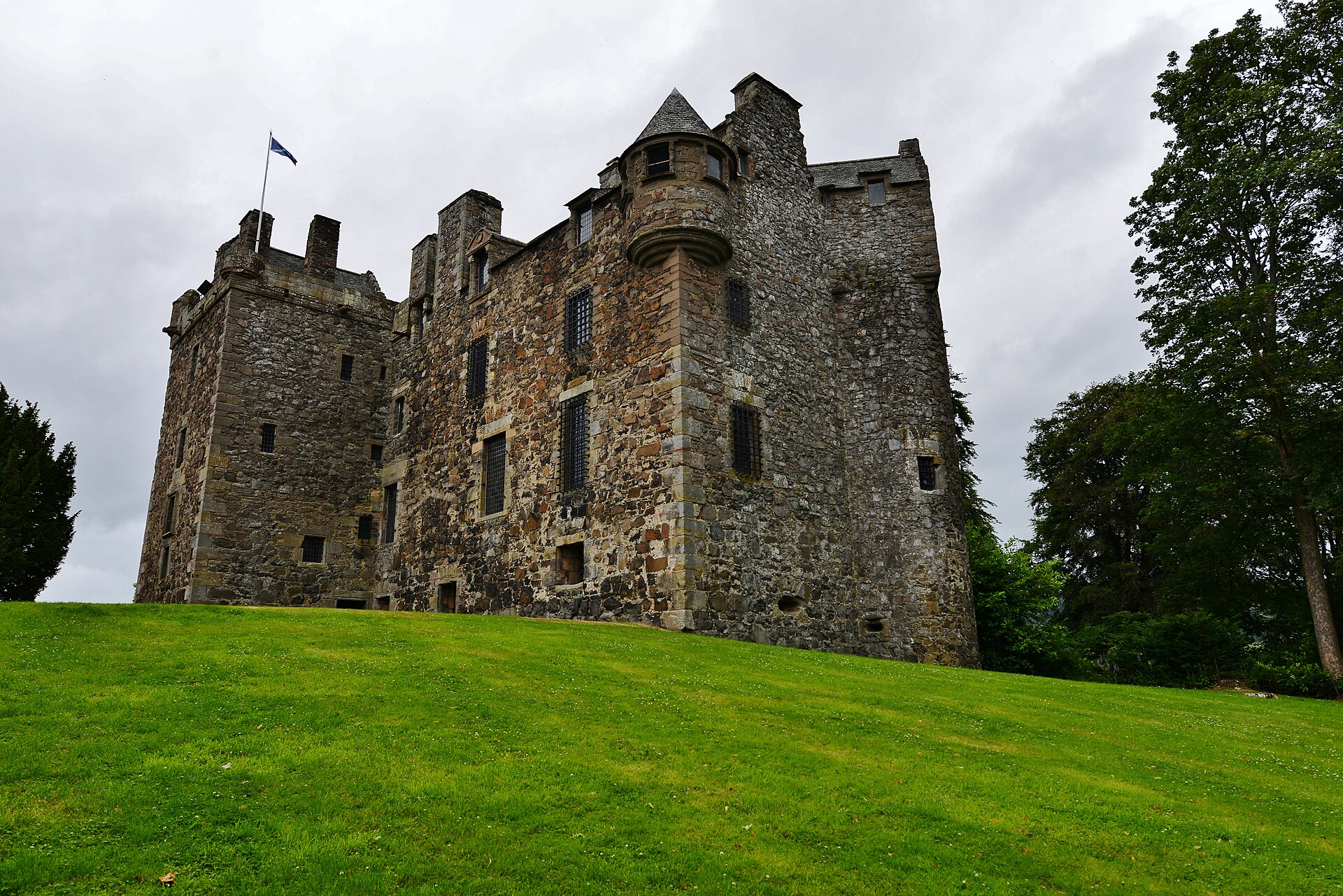
Elcho Castle
Perth and Kinross
Nearly burned in 1773 by a crowd who found it full of grain being held back for export during a famine.
- Near Rhynd
Fortified place · Prehistoric
Castle Law, Forgandenny
Perth and Kinross
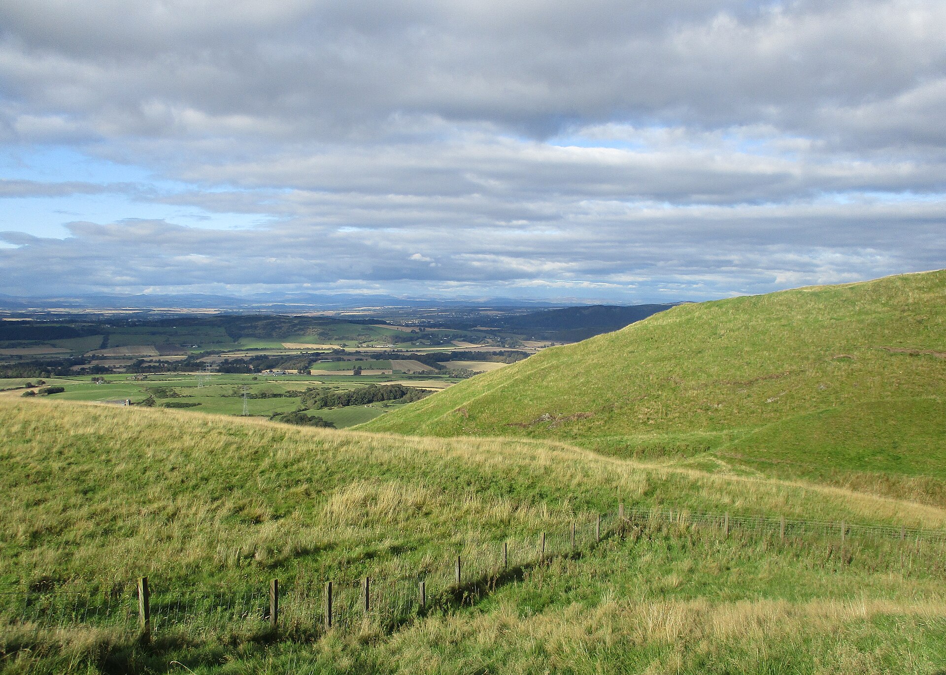
A multiple-enclosure hillfort above Forgandenny whose banks and ditches are effectively its entire history: the written record has almost nothing t…
The setting
Field beside the A9 at Bertha, near the buried Roman fort.
Photo: A MELVILLE / Wikimedia Commons / CC BY-SA 2.0
Railway bridge over the River Tay near Bertha Roman Fort.
Photo: Bartolo Creations / Wikimedia Commons / CC BY-SA 2.0
River Tay beside the site of Bertha Roman Fort.
Photo: A MELVILLE / Wikimedia Commons / CC BY-SA 2.0
Questions people ask
- Why was the fort placed here?
- It stands at the confluence of the River Tay and the River Almond, north of modern Perth. Roman forts in Scotland are repeatedly sited at river junctions, which control movement in two directions at once and give a water supply on more than one side.
- What was the fort part of?
- The Roman advance into what the Romans called Caledonia — one of a chain of works pushed north along the eastern side of the country. Its position on the Tay puts it at one of the key crossings of that route.
- Is anything visible on the ground?
- Nothing of the fort stands above ground. What is known comes from its earthworks and from excavation rather than from any surviving structure, which is the ordinary condition of Roman military sites in Scotland outside the Antonine Wall.
Sources
- Canmore site 26734
- Wikipedia: Bertha (Perth)
- Wikidata: Q4895462
- Historic Environment Scotland scheduled monument SM2403 — Bertha, Roman Fort (accessed 2026-08-03)
Explore more: Fortified places · Roman · Perth and Kinross
The Ancient Codex, in your pocket
Get the Pocket Codex app
Carry the directory with you — Bertha (Perth) and thousands of ancient places across Britain and Ireland, offline, wherever you roam.