
A multiple-enclosure hillfort above Forgandenny whose banks and ditches are effectively its entire history — the written record has almost nothing to add.
Some sites tell their story through documents. Castle Law tells it entirely through earth.
The fort crowns high ground above Forgandenny, on the summit that gives it its second name, Culteuchar Hill. Almost nothing about it survives in the written record — no founder, no occupation, no destruction, no event of any kind. What is left is the shape of the hilltop, and the shape is worth the climb.
Archaeologists class it two ways at once, and both classifications describe the same thing from different angles. It is a contour fort: the banks were set along the shape of the summit instead of driven across it in straight lines, so the builders read the hill and worked with what it gave them. And it is a multiple-enclosure fort, ringed by more than one circuit of bank and ditch. Put together, that describes a site defended in depth by people who understood the ground they were defending.
The scale and the layering are the point. A single rampart around a hilltop is a common enough thing in Perth and Kinross, where defended sites ring the uplands in numbers. Several circuits, laid out to the contour, represent a different order of effort, and the effort is the only statement the builders left about how much this place mattered to them.
The recognition it has now is national. Historic Environment Scotland scheduled the site in June 1964, and it is recorded in both Canmore, the national database of the historic environment, and the Atlas of Hillforts, which is the standard survey of early fortification across Britain and Ireland. Appearing in both means the site has been assessed independently twice and held its place each time.
Reaching it means a climb into open, rough ground, and it is worth being clear about what waits at the top. There is no standing ruin here — nothing to photograph as a building. What there is instead is a reading of the land: banks and ditches shaped to the hill, and a wide outlook over the valley below. The fort was put here to watch that valley, and the view is the one part of the site that has not altered in two thousand years.
What follows is drawn from published sources, with each claim labelled by how firmly it is established.
History
High ground over the village of Forgandenny, in Perth and Kinross, carries Castle Law. It is also known by the name of the summit it occupies, Culteuchar Hill, so the fort and the hill are recorded under two names in the literature. Archaeologists class the site in two ways at once. It is a contour fort, so its defences trace the natural edge of the summit instead of being driven across it in straight lines, and it is a multiple-enclosure fort, ringed by more than one circuit of earthworks.
Almost nothing of the fort's story survives in the written record. What marks it out is the scale and layering of its defences rather than any single event, owner or occupation, and the earthworks are effectively the entire evidence. Historic Environment Scotland scheduled the site as a monument in June 1964. Both of the standard Scottish inventories carry it — the national Canmore database and the Atlas of Hillforts. The approach is a climb into open, rough ground. What is there to see is not a standing ruin but banks and ditches shaped to the contour of the hill, and a wide outlook over the valley the fort was raised to watch.
People
-
Edwin Weston Bell
Antiquary who excavated Castle Law in 1892, clearing wall faces and recording timber sockets and the fort’s plan.
-
Tessa Poller
Archaeologist who led the 2013 geophysical survey and excavation programme.
Cultural influences
-
Defence in depth on Culteuchar Hill
The multiple rings of bank and ditch, laid to the contour of Culteuchar Hill, show a fortification designed around its terrain and defended in more than one line.
Connections
-
Both forts have timber-laced stone ramparts and unusual dammed water approaches, and both were excavated as key examples of Perthshire fortification.
-
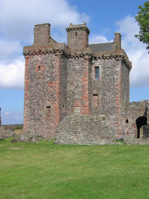
Photo: Brian D Osborne / Wikimedia Commons / CC BY-SA 2.0 The hillfort and later castle represent successive forms of defended occupation in the Perthshire landscape.
-
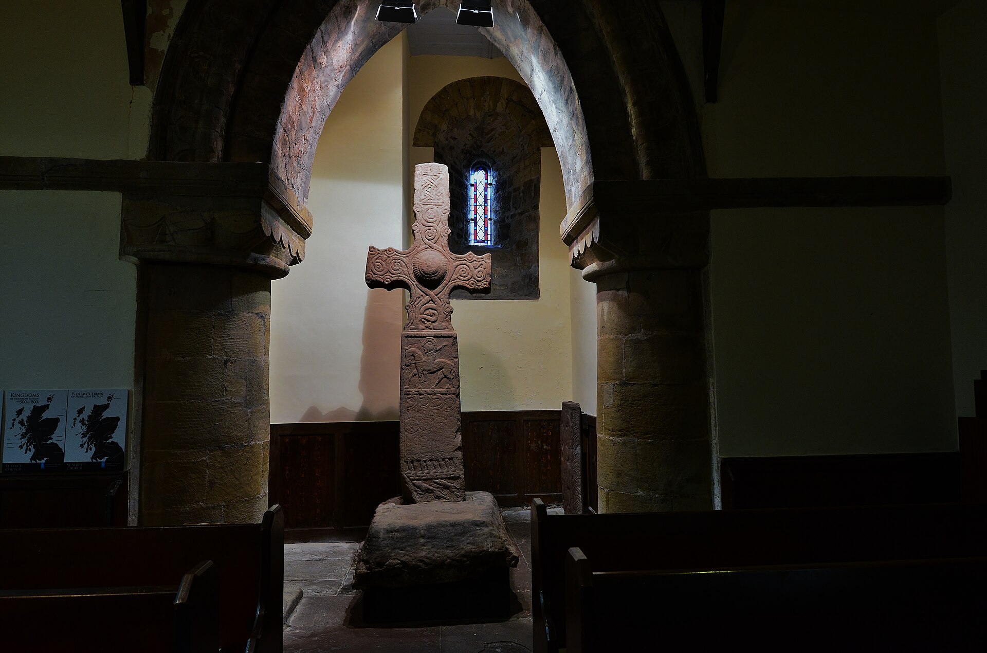
Photo: HARTLEPOOLMARINA2014 / Wikimedia Commons / CC BY-SA 3.0 The hillfort and Pictish cross span different phases of power and monument building in the Strath Earn region.
Discovery & excavation
Edwin Weston Bell excavated the hillfort in 1892. A 2013 geophysical survey and five excavation trenches examined its stone walls, a possible hut platform and an outer bank.
What to look for
-
The multiple circuits
More than one ring of bank and ditch encloses the summit. Counting the circuits on the ground is the clearest way to see why the site is classed as a multiple-enclosure fort.
-
Ramparts on the contour
The defences trace the shape of the summit instead of being set out to a plan imposed upon it. That is what makes this a contour fort, and it is visible as soon as the ramparts are traced.
-
The outlook
A wide view over the valley below. The fort was placed here to watch it, and the view is the one part of the site that has not changed.
Plan your visit
- Location
- 56.3228°N · 3.4571°W
- Time needed
- About 45 minutes
Nearby places
Fortified place · Medieval
Balvaird Castle
Perth and Kinross
Carved heads support the roundels on the wall-walk, and the cap-house over the stair is a miniature tower house of its own: detail that may have be…
Carved stone · Pictish & early medieval
Dupplin Cross
Perth and Kinross
A Pictish high cross carrying the name of a king who reigned around AD 800: the fixed point from which the rest of Pictish sculpture is dated.
- Near Dunning
- Easy path
Fortified place · Prehistoric
Castle Law, Abernethy
Perth and Kinross
A contour fort above Abernethy, scheduled since 1964: older than the medieval lordship in the village below, and with no recorded connection to it.
Fortified place · Medieval
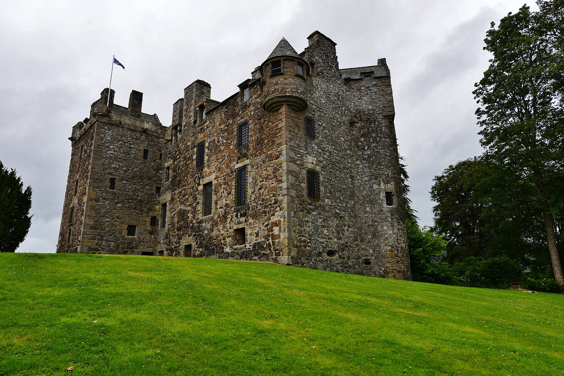
Elcho Castle
Perth and Kinross
Nearly burned in 1773 by a crowd who found it full of grain being held back for export during a famine.
- Near Rhynd
The setting
Castle Law hillside at Forgandenny, where the hillfort earthworks are not visible.
Photo: Richard Webb / Wikimedia Commons / CC BY-SA 2.0
Pines and the hillside of Castle Law near the hillfort.
Photo: Richard Webb / Wikimedia Commons / CC BY-SA 2.0
Lochan in the landscape beside Castle Law hillfort.
Photo: James Allan / Wikimedia Commons / CC BY-SA 2.0
Questions people ask
- What kind of hillfort is Castle Law, Forgandenny?
- Both a contour fort — its banks trace the shape of the summit — and a multiple-enclosure fort, ringed by more than one circuit of earthworks.
- What is known about its history?
- Very little. Almost nothing survives in the written record; what distinguishes the site is the scale and layering of its defences rather than any documented event or owner.
- Is it protected?
- Yes. Historic Environment Scotland scheduled it in June 1964, and it appears in both the Canmore database and the Atlas of Hillforts.
- What is Culteuchar Hill?
- The summit the fort occupies. Castle Law is recorded under both names.
Sources
- Canmore site 26583
- Wikipedia: Castle Law, Forgandenny
- Wikipedia: Castle Law, Forgandenny
- Canmore — Castle Law, Forgandenny (accessed 2026-08-30)
Explore more: Fortified places · Prehistoric · Perth and Kinross
The Ancient Codex, in your pocket
Get the Pocket Codex app
Carry the directory with you — Castle Law, Forgandenny and thousands of ancient places across Britain and Ireland, offline, wherever you roam.