
Twenty-nine descending steps and fine stonework lead into an Iron Age chamber whose purpose remains unknown, making Mine Howe as compelling for its mystery as its construction.
Twenty-nine steps go down into the ground here, turning back on themselves at a half-landing, so that the bottom is invisible from the entrance. They were cut in the Iron Age, roughly 800 BC until the Roman conquest, though this shaft belongs to the later part of that span. At the foot is a chamber only 1.3 metres across but more than four metres high, corbelled overhead, with a bottom step nearly a metre tall that makes the whole thing look like a cistern.
Nobody knows what it was for. Mine Howe was dug six metres into a mound in the Tankerness area of Orkney around two thousand years ago, in the Iron Age, and the quality of its dry-stone walling is exceptional — the walls are fitted to arch over the cavity, and two further chambers or passages open off the half-landing, one above the other. There is some resemblance to the well inside the Broch of Gurness, which is the nearest thing to a parallel.
It has been found twice. The first exploration in 1946 misidentified it as a broch, after which the site was covered over and left for almost fifty years. Douglas Paterson, who farmed the land, reopened it in 1999, cleared out what had accumulated, built a wooden entrance and a stair, and let people down into it.
Time Team excavated further in June 2000, dug sections of a ditch surrounding the mound, and built a small replica nearby to work out how the thing had been constructed in the first place. The name, from the Old Norse haugr, simply means barrow — a Norse word for a structure that was already a thousand years old when they arrived.
What follows is drawn from published sources, with each claim labelled by how firmly it is established.
The name
Mine Howe takes its second element from Old Norse haugr, meaning a barrow or mound.
History
Mine Howe is a subterranean man-made chamber dug six metres deep inside a large mound, in the Tankerness area of Orkney about five miles from Kirkwall. Experts place its construction roughly two thousand years ago, in the Iron Age. The name comes from the Old Norse haugr, meaning a barrow — a Norse word attached to a structure that was already ancient when the Norse arrived, which is a common pattern across Orkney place-names.
Twenty-nine steps lead down to a rock floor. The walls are lined with stones fitted to form an arch over the cavity, and most of the structure is built in dry-stone walling of a notably high standard. Twenty-nine steps is a considerable descent to build and maintain for a structure whose purpose nobody can name. The descent turns back on itself. A flight of steps drops to a half-landing, where they reverse, and further steps continue down to the chamber — an arrangement that puts the bottom entirely out of sight from the entrance. Whatever was at the bottom, the design took care that it could not be seen from outside.
The chamber itself is only about 1.3 metres across but over four metres high, with a corbelled roof. The bottom step into it stands 0.9 metres high, which gives the whole space the appearance of a cistern rather than a room. Height without width is an odd thing to build underground, and it is the detail that resists every functional explanation. At the half-landing two further chambers or passages open out, one above the other. There is some similarity to the well inside the Iron Age Broch of Gurness, though what Mine Howe was actually for is not understood.
It was first explored in 1946 and misidentified as a broch. After that work the site was covered over and left almost forgotten for nearly fifty years, until Douglas Paterson, the farmer who owned the land, reopened it in 1999. Being wrong about a monument for fifty years is not unusual; being forgotten for fifty years afterwards is.
Paterson cleared the material that had filled it, built a small wooden entrance over the opening and stairs down into the chamber, and let visitors in. The television programme Time Team came in June 2000 to excavate further, building a small replica nearby to work out how the original had been constructed, and digging sections of a ditch surrounding the mound.
People
-
Douglas Paterson
Farmer-owner who reopened and investigated Mine Howe in 1999, clearing the chamber and creating safe visitor access.
Cultural influences
-
The corbelled chamber and its deep stair descent are an unusual surviving example of Iron Age underground construction in Orkney.
Connections
-

Photo: Hayley Green / Wikimedia Commons / CC BY-SA 3.0 Both are prehistoric underground monuments in Orkney, preserving distinctive evidence of ritual and funerary activity.
-
The underground monument and broch represent contrasting prehistoric uses of the Orkney landscape, ritual activity alongside fortified settlement.
-
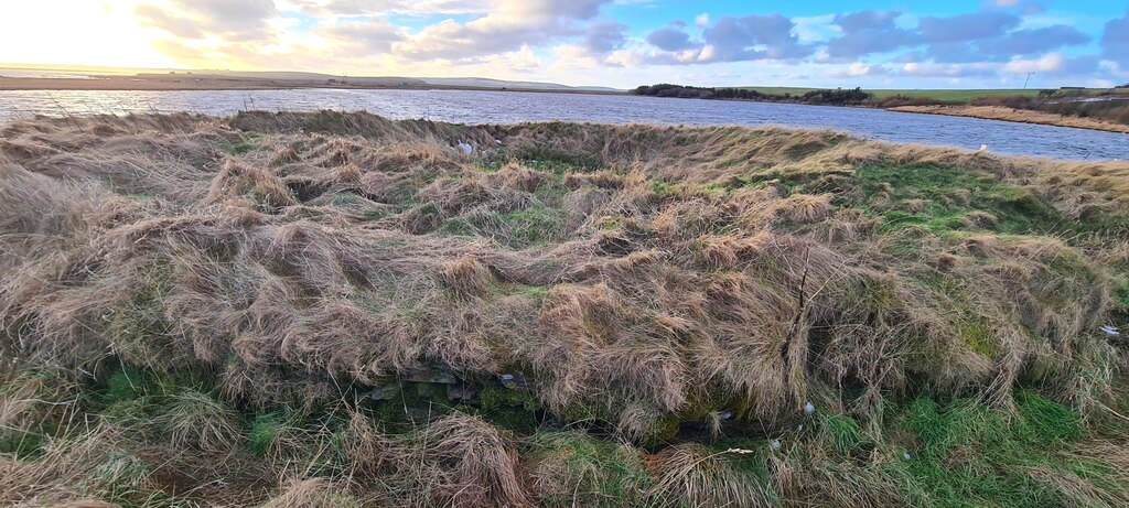
Photo: Derek Brown / Wikimedia Commons / CC BY-SA 2.0 Mine Howe and the broch belong to Orkney’s Iron Age and prehistoric archaeological sequence, linking subterranean ritual space with monumental settlement.
Discovery & excavation
The underground chamber was first explored in 1946, then reopened in 1999 after Douglas Paterson investigated it.
What to look for
-
The stair descent
Twenty-nine steps descend six metres by a reversing route that conceals the chamber’s bottom from anyone standing at the entrance.
-
Corbelled chamber
The narrow dry-stone chamber rises over four metres beneath a corbelled roof, with two smaller chambers opening from the half-landing.
Plan your visit
- Location
- 58.9388°N · 2.8523°W
- Nearest settlement
- Kirkwall
- Access
- Open access
- Terrain
- Moderate walking
- Time needed
- About 45 minutes
- Best time
- Daylight hours
- What survives
- A 29-step descent leads to the tall corbelled underground chamber and its side chambers.
Opening & admission
No reliable current admission details are recorded; verify before travelling.
Nearby places
Fortified place · Iron Age
Loch of Tankerness
Orkney Islands
A shallow loch whose shrinking water exposed a Bronze Age house, while its shores bring together Iron Age, prehistoric and modern water-supply arch…
- Near Kirkwall
- Easy path
Building or ruin · Medieval
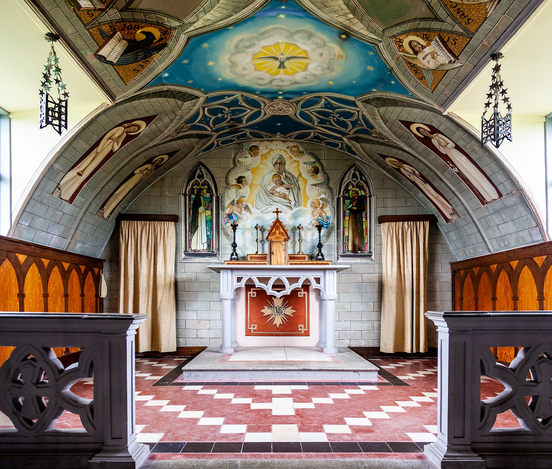
Italian Chapel
Orkney Islands
Two Nissen huts, joined end to end, decorated by a prisoner of war who stayed behind after his comrades were freed in order to finish the work.
Fortified place · Iron Age
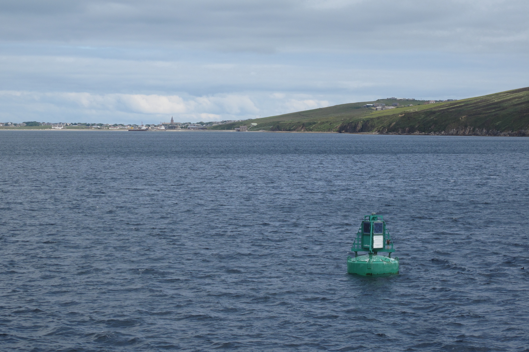
Broch of Ayre
Orkney Islands
The Ayre site is a broch, a tall circular tower of unmortared stone found only in Scotland, on Orkney Mainland.
- Easy path
Questions people ask
- What is Mine Howe?
- A man-made underground chamber dug six metres into a mound in the Tankerness area of Orkney, built about two thousand years ago in the Iron Age. What it was for is not understood.
- How is it entered?
- Down twenty-nine steps. The flight drops to a half-landing where it turns back on itself, then continues to the chamber, so the bottom is out of sight from the entrance.
- What is the chamber like?
- Only about 1.3 metres across but over four metres high, with a corbelled roof. The bottom step is 0.9 metres high, which gives it a cistern-like appearance.
- Who found it?
- It was first explored in 1946 and misidentified as a broch, then covered over for nearly fifty years. Douglas Paterson, the farmer who owned the land, rediscovered and reopened it in 1999.
- Was it excavated properly?
- Time Team came in June 2000, excavated sections of the surrounding ditch and built a small replica nearby to work out how it had been constructed.
Sources
- Wikipedia: Mine Howe
- Wikidata: Q694275
- Canmore 2998 — TANKERNESS, MINE HOWE (enclosure (iron age)) (accessed 2026-08-03)
Explore more: Tomb or burial places · Prehistoric · Orkney Islands
The Ancient Codex, in your pocket
Get the Pocket Codex app
Carry the directory with you — Mine Howe and thousands of ancient places across Britain and Ireland, offline, wherever you roam.