
Fortified place · Iron Age · Orkney Islands
Loch of Tankerness
A shallow loch whose shrinking water exposed a Bronze Age house, while its shores bring together Iron Age, prehistoric and modern water-supply archaeology.
A drought exposed the archaeology here. When the water level of Loch of Tankerness dropped in 1980, a Bronze Age house on the eastern shore was uncovered further and recorded properly, and objects came out of the loch bed itself — including the point of an early plough.
The loch is large, shallow and roughly triangular, four miles south-east of Kirkwall, its flat bottom deepening gradually from west to east. Around it are the remains of several periods. A broch stands on a short promontory on the south-western shore, thought to be the structure recorded as the Howie of the Manse. On the eastern side is a burnt mound with that Bronze Age house beside it, built of upright slabs on a slab floor in an oval plan — the usual construction where the local flagstone splits so obligingly.
Later use is recorded too. A filter room and pump house on the eastern shore went up in the late nineteenth century, powered by an oil engine that was replaced in the 1940s by a windpump.
The loch was surveyed in 1903 by R. C. Marshall and charted as part of Sir John Murray’s bathymetrical survey of Scottish freshwater lochs. What the record shows most clearly since then is a decline: fifty to a hundred Greenland white-fronted geese wintered here through the 1960s, and numbers fell away sharply after 1974 as moorland was reclaimed and shooting increased, while the flock on Stronsay grew.
What follows is drawn from published sources, with each claim labelled by how firmly it is established.
History
Loch of Tankerness is a large lowland freshwater loch on the Orkney Mainland, roughly triangular, shallow, with a flat bottom that deepens gradually from west to east. It lies about four miles south-east of Kirkwall. Shallow lowland lochs of this kind were valuable ground in every period, which is why so much archaeology gathers round their edges. The remains of a broch stand on a short promontory on the south-western shore. It is thought to be the structure recorded as the Howie of the Manse — a drystone tower of the Iron Age set to command the water. Brochs are regularly sited where they can watch water, and this one is no exception.
On the eastern shore is a burnt mound, and beside it a Bronze Age structure presumed to be a house. It survives as erect slabs and a slab floor forming an oval plan, the standard construction for this period in Orkney where flagstone splits readily. Orkney flagstone splits into usable slabs with very little working, and it shaped how buildings were made here for four thousand years.
The drought of 1980 did the archaeology a favour. When the loch's water level dropped the house was further exposed and recorded, and artefacts were recovered from the loch itself — among them the point of an early plough. Low water is a recurring friend to archaeology, exposing what a normal season keeps submerged.
A filter room and pump house stand on the eastern shore, built in the late nineteenth century and originally driven by an oil engine. That engine was replaced in the 1940s by a windpump, so the building records two generations of rural water supply. Both were built to move water for the same farms whose fields surround the loch today. The loch was surveyed in 1903 by R. C. Marshall and later charted as part of Sir John Murray's Bathymetrical Survey of the Fresh-Water Lochs of Scotland, carried out between 1897 and 1909. That survey is still the basis for what is known about the loch's depth and shape.
Its wildlife has changed measurably. Fifty to a hundred Greenland white-fronted geese wintered here regularly through the 1960s; numbers fell sharply after 1974, probably through moorland reclamation and increased shooting, while the wintering flock on Stronsay grew.
People
-
R. C. Marshall
Co-surveyor of Loch of Tankerness in 1903 for Sir John Murray’s national Bathymetrical Survey of Scottish freshwater lochs.
Cultural influences
-
A burnt mound and a probable Bronze Age house on the eastern shore show repeated use of the loch edge.
-
The Howie of Manse broch occupies a promontory at the loch’s south-west corner.
Connections
-
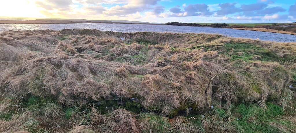
Photo: Derek Brown / Wikimedia Commons / CC BY-SA 2.0 Broch of Ayre and the Howie of the Manse at Loch of Tankerness are both Iron Age broch or broch-like monuments in east Mainland Orkney. They frame the loch’s shore archaeology within the regional tradition of substantial stone settlements.
-

Photo: Sandy Gerrard / Wikimedia Commons / CC BY-SA 2.0 Mine Howe and Loch of Tankerness are both in the Tankerness district’s prehistoric landscape. Mine Howe’s subterranean chamber and the loch’s shoreline broch, burnt mound and probable house show different kinds of ritual and settlement evidence in the same part of Mainland Orkney.
-

Photo: Robert Scarth / Wikimedia Commons / CC BY-SA 2.0 St Magnus Cathedral is the medieval ecclesiastical centre of nearby Kirkwall, while Loch of Tankerness preserves prehistoric and later water-management archaeology in its rural hinterland. The contrast links the loch’s long local sequence to Orkney’s later historic centre.
Discovery & excavation
Drought in 1980 exposed a probable Bronze Age house on the eastern shore, where excavation recovered a stone floor, upright slabs and a possible early plough point.
What to look for
-
Howie of Manse
The probable Iron Age broch occupies the south-west promontory, using water on three sides to command the loch.
-
Eastern-shore archaeology
The eastern shore holds a burnt mound and a probable Bronze Age house, exposed further during the drought of 1980.
Plan your visit
- Location
- 58.9683°N · 2.8436°W
- Nearest settlement
- Kirkwall
- Access
- Visible from a public way
- Terrain
- Easy going
- Time needed
- About 30 minutes
- Best time
- Daylight hours
- What survives
- The loch remains a broad shallow freshwater basin, with a broch promontory and archaeological sites on its shores.
Opening & admission
The archaeology is visible from public routes around the loch; there is no published managed admission arrangement.
- The probable broch and other remains lie around the loch shore, including private agricultural land. Do not assume access beyond public routes without permission.
Nearby places
Tomb or burial place · Prehistoric
Mine Howe
Orkney Islands
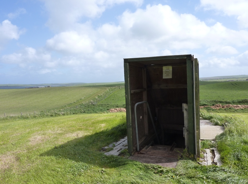
Twenty-nine descending steps and fine stonework lead into an Iron Age chamber whose purpose remains unknown, making Mine Howe as compelling for its…
- Near Kirkwall
- Some walking

Sacred place · Medieval
St Magnus Cathedral, Kirkwall
Orkney Islands
The oldest cathedral in Scotland, now a Church of Scotland parish church in Kirkwall.
- Near Kirkwall

Tomb or burial place · Prehistoric
Castle Bloody
Orkney Islands
An unresolved Shapinsay structure that may be a burial mound or an underground passage connected with settlement, challenging easy readings of how…
- Easy path
Sacred place · Prehistoric
Mor Stein
Orkney Islands
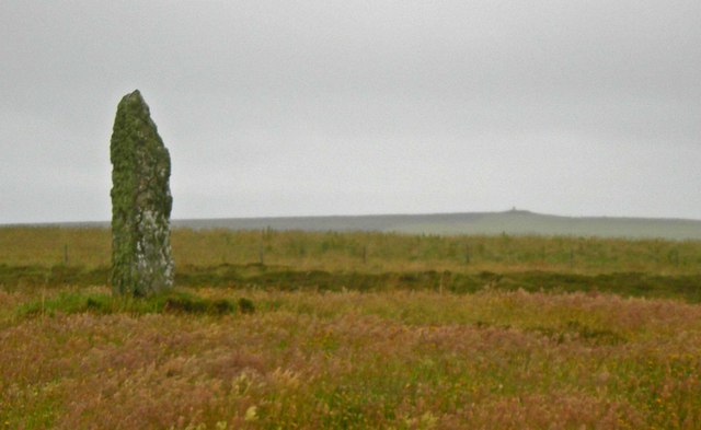
An isolated three-metre standing stone whose uncarved bulk records the considerable communal labour of quarrying, moving and raising a monument who…
- Near Shapinsay
- Easy path
The setting
Loch of Tankerness and the farmland beside the largely vanished broch.
Photo: Adam Ward / Wikimedia Commons / CC BY-SA 2.0
Questions people ask
- What archaeology is on the loch?
- The remains of a broch stand on a short promontory on the south-western shore, thought to be the Howie of the Manse. On the eastern shore is a burnt mound with a Bronze Age structure beside it, presumed to be a house.
- What was found in the drought of 1980?
- When the water level dropped the Bronze Age house was further exposed and recorded, and artefacts were recovered from the loch itself — including the point of an early plough.
- What is the building on the eastern shore?
- A filter room and pump house, built in the late nineteenth century and originally powered by an oil engine. The engine was replaced by a windpump in the 1940s.
- What birds are found here?
- The Greenland white-fronted goose is seen occasionally. Fifty to a hundred wintered here regularly in the 1960s, but numbers fell sharply after 1974, probably through moorland reclamation and increased shooting.
Sources
- Wikipedia: Loch of Tankerness
- Wikidata: Q18737003
- Canmore 2989 — Loch of Tankerness, 'Howie of the Manse' (broch, Iron Age) (accessed 2026-08-03)
Explore more: Fortified places · Iron Age · Orkney Islands
The Ancient Codex, in your pocket
Get the Pocket Codex app
Carry the directory with you — Loch of Tankerness and thousands of ancient places across Britain and Ireland, offline, wherever you roam.