
Alexander Thom argued these modest stones once tracked the moon's 18.6-year cycle — a claim no other Caithness stone row has earned.
Climbing a low hillside at Mid Clyth in Caithness, several hundred small upright stones stand in rows that fan gently outward rather than running straight and parallel. None rises higher than about a metre, so from a distance the hillside reads less as a monument than as a scatter of grey teeth pushing up through the grass and heather — until the pattern of rows becomes clear underfoot.
The stones are set out running roughly north and south, following the slope, and their splayed arrangement has made the site one of the most distinctive prehistoric survivals in the north of Scotland. It is thought to date from the Bronze Age, though, as with much of this kind of monument, no inscription or written record explains why it was built or what its rows once counted or marked.
What has drawn attention beyond Caithness is the view from the northern end of the rows. On a clear day the hills of Banffshire are visible across the Moray Firth, roughly 80 kilometres away, and on a clear night the moon, at its most southerly rising point, appears over that same stretch of coastline — an alignment that has invited more than one theory about what the stone rows were originally for.
What follows is drawn from published sources, with each claim labelled by how firmly it is established.
The name
The name is a plain description in Scots: "Hill o' Many Stanes" simply means "hill of many stones", referring directly to the roughly 200 upright stones set across the slope.
History
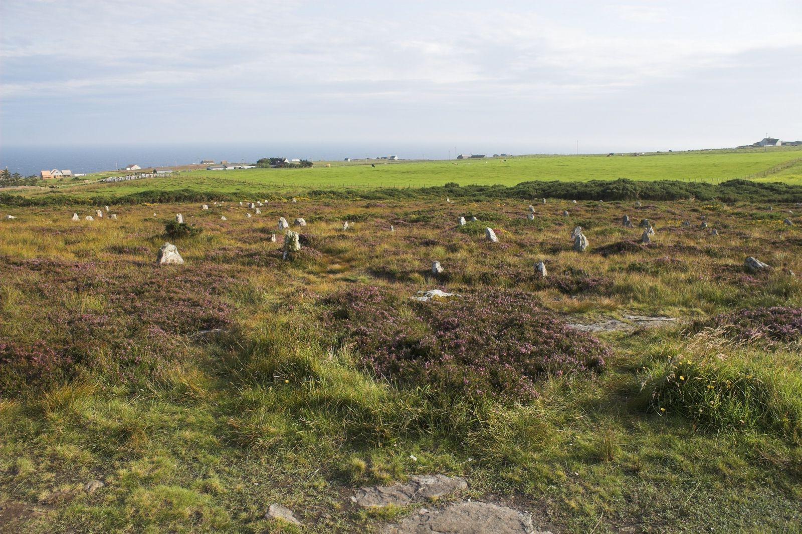
During the Bronze Age, an unrecorded community raised close to 200 small standing stones on the hillside above Mid Clyth, arranging them in rows that follow the slope from south to north. Rather than running parallel, the rows splay outward in a fan shape, a layout that distinguishes the site from simpler single or double stone rows found elsewhere in the region.
In 1971, the engineer and astronomical researcher Alexander Thom published Megalithic Lunar Observatories through Oxford University Press, presenting the Hill o' Many Stanes as evidence that Bronze Age communities in Caithness had tracked the moon's movements. Thom proposed that sightlines from the northern end of the rows, across the Moray Firth to the hills of Banffshire, were used to observe the moon's most southerly rising point over an 18.6-year cycle.
Since Thom's study, more than twenty comparable multiple stone rows have been identified across Caithness and Sutherland, prompting closer scrutiny of his lunar observatory claim. None of these other sites has been linked to a similar astronomical alignment, leaving the Hill o' Many Stanes as an isolated case rather than part of a demonstrated regional pattern of lunar observation.
People
-
Alexander Thom
Engineer and astronomical researcher whose 1971 book Megalithic Lunar Observatories proposed that the stone rows functioned as a Bronze Age lunar observatory.
Cultural influences
-
The stone circle belongs to the Bronze Age ritual landscape of Caithness, where ring settings gave communal gatherings a lasting place.
Connections
-
Stone rows of Caithness and Sutherland
The Hill o' Many Stanes is one of more than twenty comparable multiple stone row monuments recorded across the two counties, though none of the others has been linked to a lunar alignment.
-
Stone rows of Brittany, France
Outside Caithness and Sutherland, rows of this type are found in Britain nowhere else, but similar stone rows built of much taller stones survive in Brittany.
-
Megalithic Lunar Observatories (Alexander Thom, Oxford University Press, 1971)
This is the study that first proposed the Hill o' Many Stanes functioned as a Bronze Age lunar observatory tracking an 18.6-year cycle.
What to look for
-
The fan-shaped rows
Close to 200 stones, none over a metre high, are set out in rows running north-south that splay apart rather than staying parallel, producing a fan shape across the slope.
-
The view to Banffshire
From the northern end of the rows, the hills of the Banffshire coast are visible across the Moray Firth on a clear day, roughly 80 kilometres away — the same sightline linked to Thom's lunar observatory theory.
Plan your visit
- Location
- 58.3285°N · 3.2050°W
- Nearest settlement
- Lybster
- Access
- Open access
- Terrain
- Easy going
- Start point
- Hill o’Many Stanes · At Mid Clyth, 4m North East of Lybster on A99.
- Time needed
- About 90 minutes
- Best time
- Open year-round.
- What survives
- A near-complete stone circle survives in open moorland, with individual stones exposed to weather.
- Facilities
- No dedicated visitor facilities are documented at the stones; plan to use facilities in nearby settlements.
- Start point
- Mid Clyth (roadside at the site, off the A99) (parking unconfirmed) — The fan of stones sits right beside a minor road off the A99 at Mid Clyth; visitors pull in at the roadside. No dedicated car park is confirmed.
- Sat-nav
- ND 295 384
Opening & admission
Free entry
- Open year-round.
Nearby places
Tomb or burial place · Prehistoric
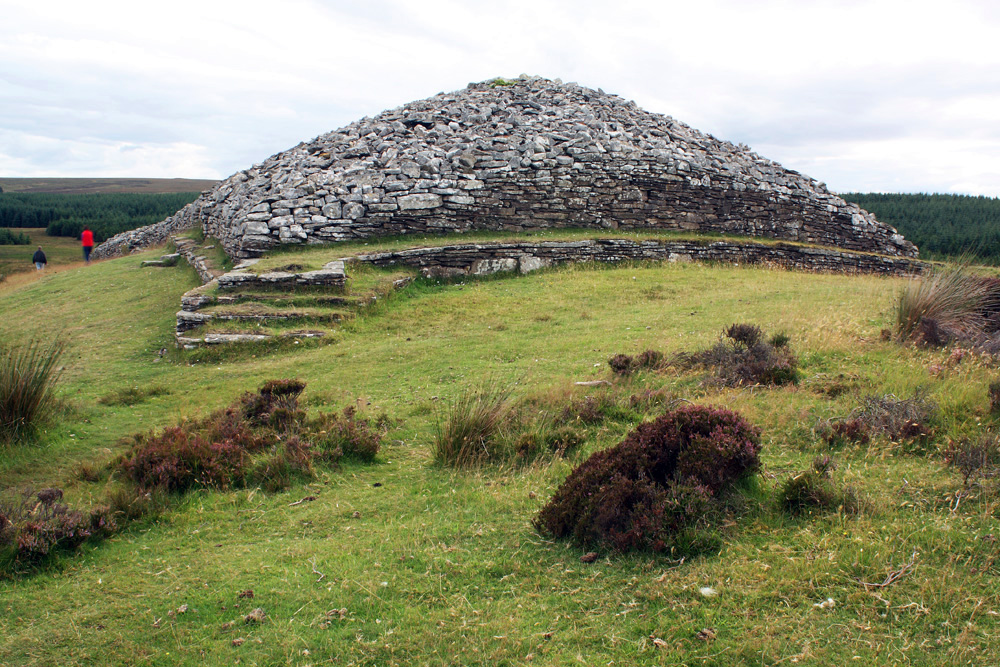
Grey Cairns of Camster
Highland
Two Neolithic tombs raised on land so fertile that people farmed it: before the Bronze Age (roughly 2500–800 BC, when metal tools first spread) bur…
- Near Lybster
- 120 metres from car park
- Easy path
Fortified place · Iron Age
Skitten Broch
Highland
A broch excavated twice within four decades of Highland archaeology before being levelled entirely for a wartime runway: its erasure is now the cle…
- Near Killimster
- Easy path

Sacred place · Prehistoric
Stone Lud
Highland
Its scale rivals the Ring of Brodgar, yet a fallen twin thirty metres off suggests it once anchored a deliberate sightline to the summer solstice s…
- Near Bower
- Easy path
Fortified place · Iron Age
Ousdale Broch
Highland
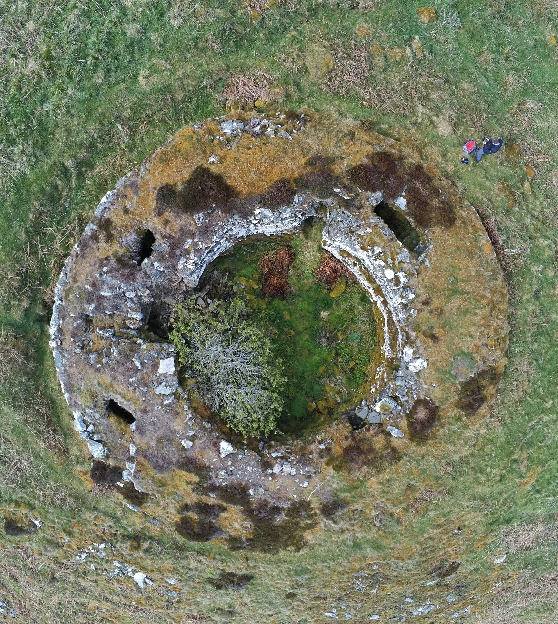
One of the best-preserved brochs on the Caithness coast, with its entrance passage still roofed by its original stone lintels after more than two t…
- Easy path
Questions people ask
- How many stones are at the Hill o' Many Stanes?
- Around 200 upright stones stand on the hillside, none of them more than a metre high.
- How are the stones arranged?
- They are set out in rows running roughly north to south with the slope, but the rows are not parallel — together they form a fan shape.
- Is it true the stones were used as a lunar observatory?
- Alexander Thom argued in 1971 that the rows tracked the moon's 18.6-year cycle, but no other similar stone row in the region has shown the same alignment.
- Are there similar stone rows elsewhere?
- Over twenty comparable stone rows are known across Caithness and Sutherland, and similar but taller stone rows survive in Brittany, France.
- How old is the site?
- The stone rows are believed to date from the Bronze Age, though no written record confirms an exact date.
Sources
- Wikipedia: Hill o' Many Stanes
- Megalithic Lunar Observatories (Alexander Thom, Oxford University Press, 1971)
Explore more: Carved stones · Prehistoric · Highland
The Ancient Codex, in your pocket
Get the Pocket Codex app
Carry the directory with you — Hill o' Many Stanes and thousands of ancient places across Britain and Ireland, offline, wherever you roam.