
Two concentric stone ramparts enclosing roughly four hectares mark this as a hillfort (an upland enclosure defended by earthen banks) community of real substance, not merely a lookout post.
On the summit of a solitary hill rising above the farmland of north Fife, broken lines of tumbled stone still trace two rings of walling that once enclosed a hillfort — a fortified hilltop settlement — commanding views in almost every direction over the Firth of Tay.
What sets the site apart from a simple watch-post is its scale. Between the inner and outer ramparts, low circular platforms mark where timber-and-thatch houses once stood, meaning people lived here as a settled community, working the ground and watching the river approaches below, not merely sheltering behind a single defended summit in times of trouble.
Little systematic excavation has taken place, so much of the fort’s precise history remains uncertain, but its form places it firmly within the broader story of Iron Age Scotland, where hundreds of hilltop communities across the country built and rebuilt defended settlements over many generations. Today the ramparts survive as grass-covered banks and scattered stone, still climbable, still commanding the same sweep of the Tay estuary that first drew people to the hill.
What follows is drawn from published sources, with each claim labelled by how firmly it is established.
The name
"Law" is a common element in Scots place names, derived from the Old English hlāw, meaning a hill or mound — it appears across Scotland attached to prominent, often fort-topped summits. The origin of the "Norman's" element is uncertain.
History
During the Iron Age, in the centuries before Roman influence reached northern Britain, builders raised the first rampart around the summit of Norman's Law, cutting and piling stone to enclose a defensible hilltop with commanding views over the Firth of Tay and the farmland of north Fife spread out below.
A second, outer wall was added later, roughly doubling the enclosed ground to about four hectares and turning a single defended summit into a much larger settlement. Within the space between the two rings, the low circular platforms of former huts survive, evidence that people lived here as a community rather than retreating to the hill only in times of danger.
As with many hillforts across Scotland, activity at Norman's Law is thought to have continued, or resumed, into the post-Roman centuries, when abandoned Iron Age fortifications throughout the country were reoccupied amid the shifting alliances and small kingdoms that followed the withdrawal of Roman power from Britain. In time the ramparts were abandoned and left to weather, and the fort survives today only as earthworks and the tumbled remains of its stone walling — a pattern typical of Scottish hillforts generally, where timber has long since rotted away and masonry has slumped into grass-covered banks.
In the later 19th century, antiquarians including David Christison began systematically surveying and cataloguing Scotland's hillforts for the Society of Antiquaries of Scotland, bringing sites such as Norman's Law into a national record alongside hundreds of comparable earthworks scattered across the Scottish mainland and islands. Subsequent national surveys have counted more than 1,600 hillforts across Scotland, one of the densest concentrations of such monuments anywhere in Europe, and Norman's Law is recorded among them, its ramparts and hut platforms preserved as physical evidence of an Iron Age community overlooking the Tay.
People
-

Portrait: Stephencdickson / Wikimedia Commons / CC BY-SA 4.0 David Christison
19th-century antiquarian who carried out early systematic surveys of Scotland's hillforts for the Society of Antiquaries of Scotland.
Cultural influences
-
The steep summit and wide views over the Firth of Tay shaped Norman’s Law as a defensible hillfort location.
Connections
-
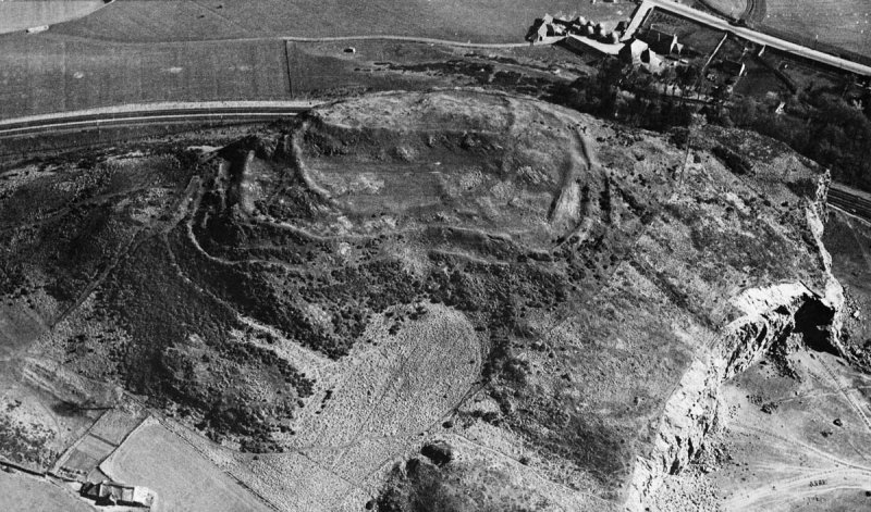
Photo: Royal Air Force / Wikimedia Commons / Public domain A neighbouring Fife hillfort recorded alongside Norman's Law in national surveys of Scotland's hillfort landscape, occupying a comparable commanding position near the Tay.
-
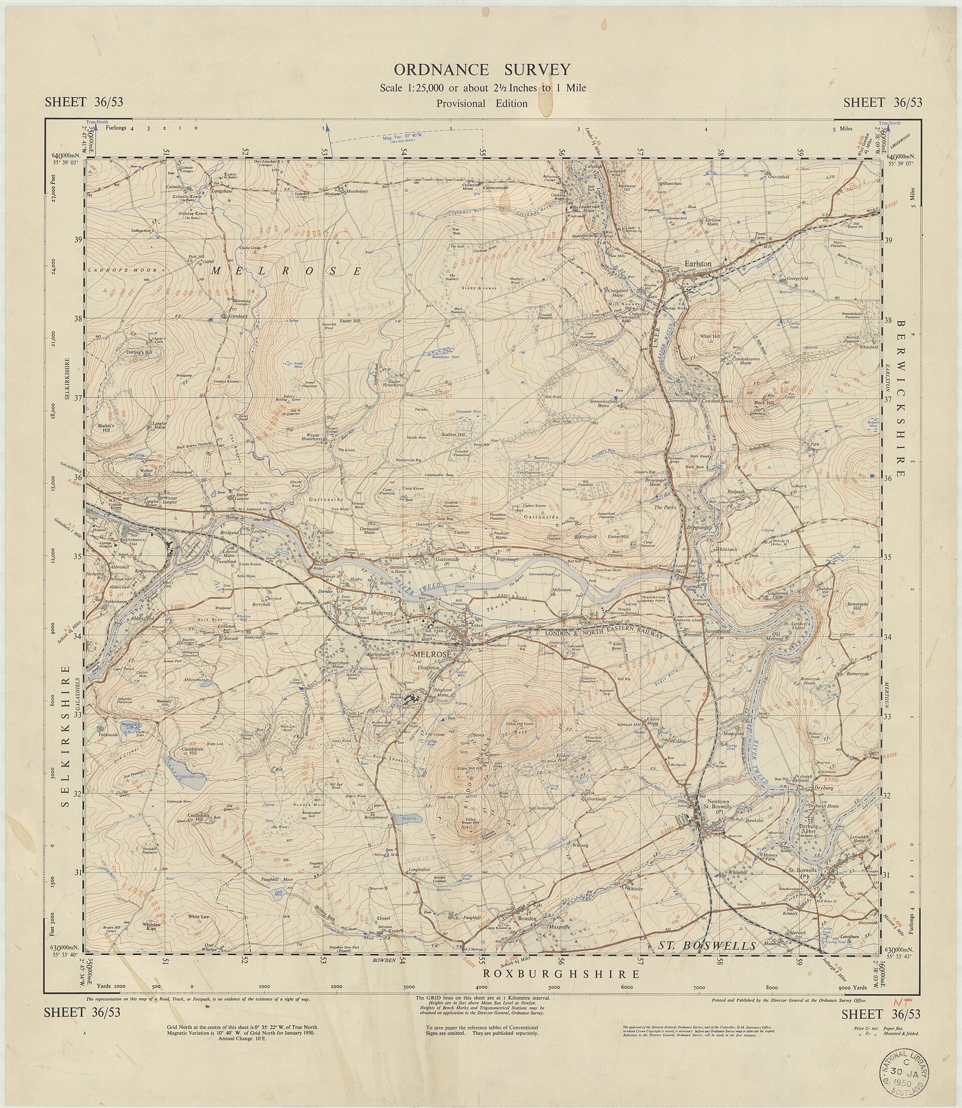
Photo: Director General of the Ordnance Survey, UK / Wikimedia Commons / Public domain One of Scotland's largest and most-studied hillforts, cited alongside Norman's Law as part of the same national landscape of more than 1,600 recorded hillforts.
-
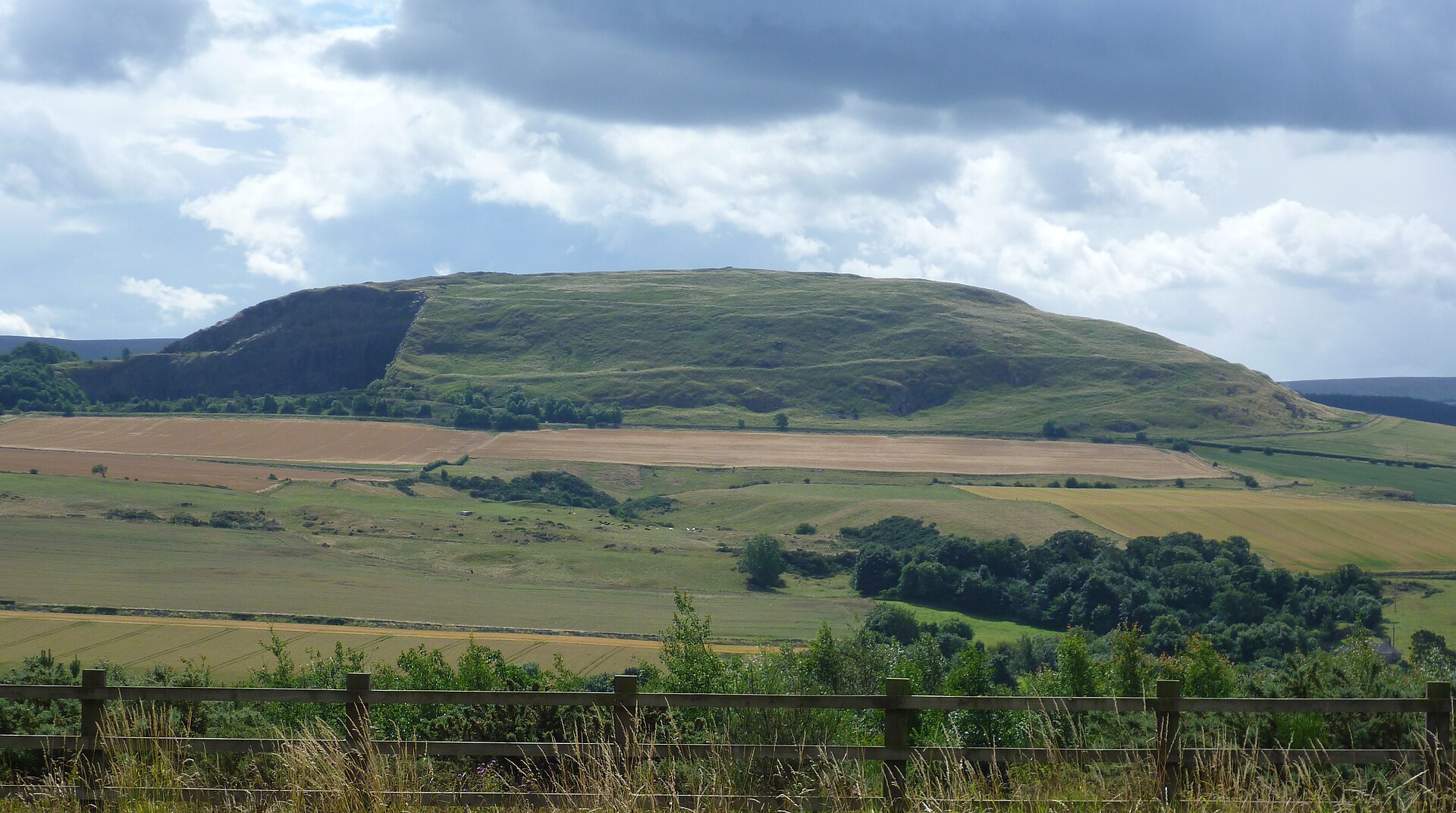
Photo: Kim Traynor / Wikimedia Commons / CC BY-SA 3.0 A major hillfort in East Lothian grouped with Norman's Law in national catalogues of Scotland's hillfort sites.
What to look for
-
The double ramparts
Two lines of walling, now reduced to grass-grown stone banks, run around the hill's summit and can still be traced on the ground, marking the fort's original inner and outer enclosures.
-
Hut platforms
Flattened circular terraces within the ramparts mark where timber-and-thatch houses once stood, showing the fort held a resident community rather than serving only as a refuge.
-
The view over the Tay
From the summit the ground falls away on every side toward the Firth of Tay, giving an uninterrupted watch over the surrounding farmland and river approaches that likely explains the hill's original choice as a fort site.
Timeline
- Late Bronze Age – early Iron Age
- Construction is dated broadly to this horizon, with the summit enclosed by two concentric dry-stone ramparts, probably originally 2–3 metres high with timber lacing.
- Iron Age and Roman period
- Active use likely continued into the Roman period; pottery sherds and metalwork fragments from the slopes are consistent with sustained occupation rather than refuge use only.
- Early medieval tradition
- A separate tradition holds that the hill was a meeting place for the local thanage — a hand-down memory, possibly, of a much older central function.
Plan your visit
- Location
- 56.3690°N · 3.1267°W
- Nearest settlement
- St Andrews
- Access
- Reached on a public path
- Terrain
- Rough ground — reasonable boots advised
- Parking
- Park considerately at the foot of the track east of Luthrie — limited verge space, no formal car park.
- Start point
- The track running east from Luthrie village towards the hill.
- Time needed
- About 45 minutes
- Best time
- Visit in daylight and dry conditions, when the hill and surrounding landscape can be explored safely.
- What survives
- The hillfort survives as grass-grown stone ramparts and terraces around the summit, with the archaeological remains best read in the open hillside setting.
- Facilities
- No facilities on the hill; nearest services are in nearby villages.
Opening & admission
Free access via public paths.
- No formal visitor opening hours are published for the scheduled hillfort.
- Check conditions before setting out and follow local access guidance on the hill.
Nearby places

Fortified place · Iron Age
Norman's Law
Fife
Norman’s Law pairs a scheduled defended settlement dating from from around 800 BC up to the Roman conquest with commanding views over Fife, the Tay…
- Near St Andrews
- Some walking
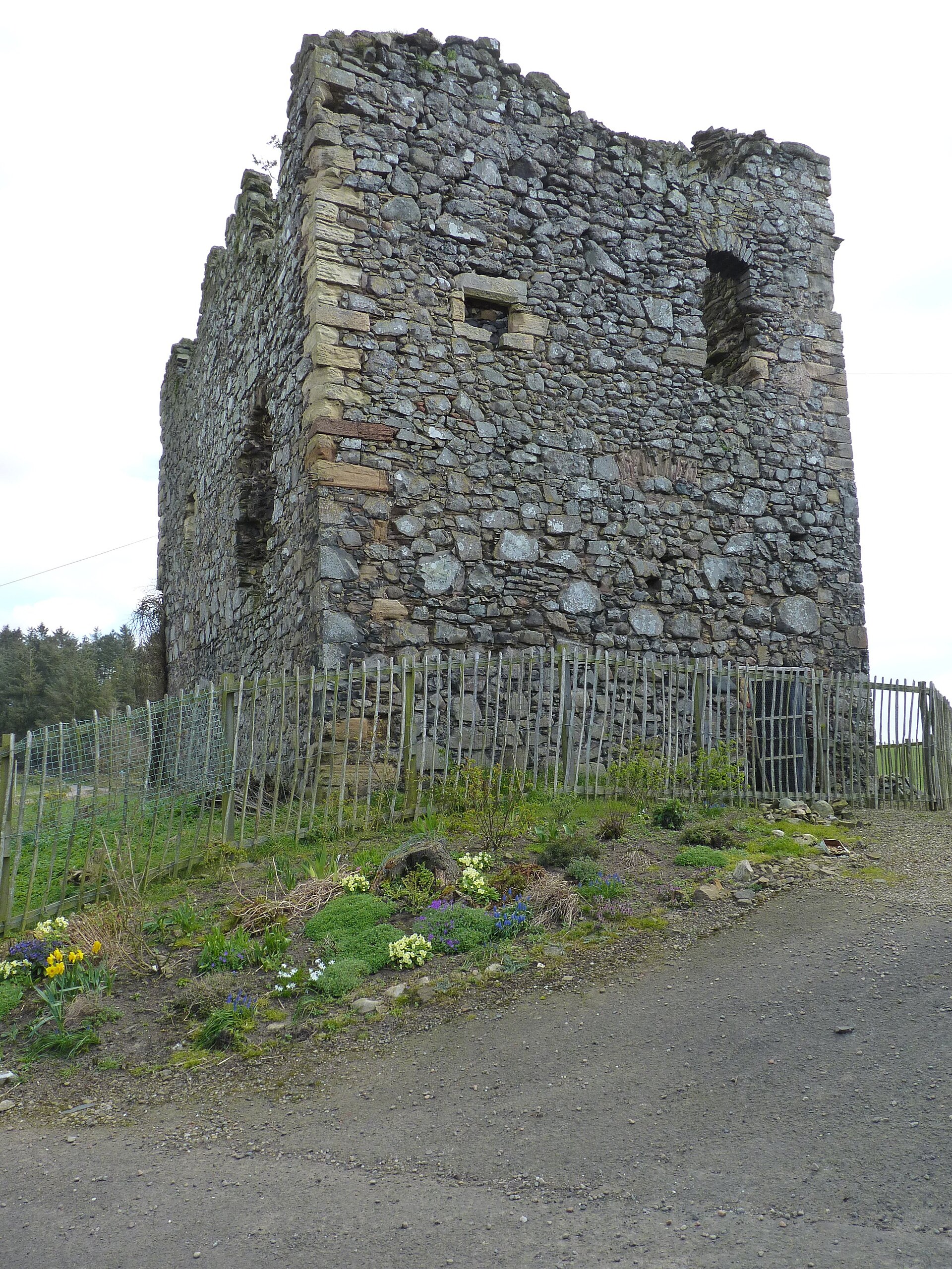
Minor monument · Medieval
Dovecot, Creich Castle
Fife
Creich’s 1723 pigeon house is an unusually formal castle lean-to, where twin chambers, rat-proofing and dormer entries make estate food production…

Carved stone · Pictish & early medieval
Abdie stone
Fife
The Abdie Stone is a rare Class I Pictish (of the Picts, the people of northern and eastern Scotland from about AD 300 to 900) monument in Fife who…
- Easy path
Fortified place · Iron Age
Clatchard Craig
Fife
Clatchard Craig was an important stronghold of the Picts, the people of northern and eastern Scotland from about AD 300 to 900, with evidence of el…
- Some walking
The setting
North Fife seen from the summit of Norman's Law, looking out over the farmland below the hillfort.
Photo: Alan O'Dowd / Geograph / CC BY-SA 2.0
Questions people ask
- What is Norman's Law Hillfort?
- It is an Iron Age hillfort on a summit in north Fife, enclosed by two concentric stone ramparts with hut platforms inside, overlooking the Firth of Tay.
- How old is Norman's Law?
- The ramparts are generally attributed to the Iron Age, roughly the last centuries BC into the early first millennium AD, though the site has not been fully excavated.
- How big is the hillfort?
- The inner and outer ramparts together enclose an area of roughly four hectares on the hill's summit.
- Is Norman's Law connected to other Fife hillforts?
- Yes — it is recorded alongside nearby Clatchard Craig and other Scottish examples such as Eildon Hill and Traprain Law in national hillfort surveys.
- Can visitors see the ramparts today?
- Yes — the walls survive as grass-covered stone banks and earthworks, along with hut platforms, visible on the hill's summit.
Sources
- Historic Environment Scotland — Canmore
- Wikipedia: List of hillforts in Scotland
Explore more: Fortified places · Iron Age · Fife
The Ancient Codex, in your pocket
Get the Pocket Codex app
Carry the directory with you — Norman's Law Hillfort and thousands of ancient places across Britain and Ireland, offline, wherever you roam.