
Norman’s Law pairs a scheduled defended settlement dating from from around 800 BC up to the Roman conquest with commanding views over Fife, the Tay and central Scotland, showing why steep, prominent hills became places of defence and enduring local recreation.
Stones heaped by hand still mark the highest ground on Norman’s Law, where the Ochil Fault runs out of hills and drops away into north Fife. That heap is a cairn — a mound raised deliberately rather than gathered by weather — old enough that its own burial, if it ever held one, goes unrecorded. Ringing it are the traces of a settlement built to be defended, whose makers let the hill’s steep flanks serve in place of a built wall.
The fort is a scheduled monument, set on high ground above the Tay’s southern side. Its position offered both a natural defensive advantage and long-distance visibility across Fife, Central Scotland and the Grampian Mountains.
Today, paths from Brunton and Luthrie make the summit accessible, while the annual Norman’s Law hill race keeps the hill active in local life. The archaeological remains and modern route network together give the site a strong sense of continuity as a place to watch, move through and gather.
What follows is drawn from published sources, with each claim labelled by how firmly it is established.
The name
Law is a Scots place-name element for a hill or mound, derived from Old English hlaw; the origin of the Norman element remains uncertain.
History
In the Iron Age, people established a hillfort and settlement around the summit of Norman’s Law. The site used the steep slopes surrounding the crest as a natural defence, while its commanding position gave wide views over the nearby Tay valley and the surrounding Fife countryside. The hillfort is now protected as a scheduled monument. This designation recognises the archaeological importance of the summit remains, even though a closely dated chronology for the fort and settlement is not available.
Modern paths make the summit readily accessible from both sides of the hill. The shortest route begins about a mile west of Brunton, while a waymarked route starts in Luthrie, connecting the archaeological summit with the surrounding villages and countryside. Norman’s Law continues to be used as a recreational landmark through the annual hill race organised by Fife AC. The event begins at Luthrie and reflects the lasting appeal of a summit whose historical importance was shaped by the same visibility and terrain that attract walkers and runners today.
Cultural influences
-
The hill stands at the fault’s eastern end, creating the prominent, steep setting used by the hillfort.
Connections
-

Photo: Dudesleeper at English Wikipedia / Wikimedia Commons / Public domain River Tay
Norman’s Law rises above the Tay’s south bank; the wide estuary view helped make the summit a defensible Iron Age hillfort position.
-

Photo: Richard Webb / Wikimedia Commons / CC BY-SA 2.0 Luthrie
This village provides the waymarked summit path and starts Fife AC’s annual hill race, linking the archaeological hill directly to modern recreation.
-

Photo: Andrew Smith / Wikimedia Commons / CC BY-SA 2.0 Brunton
The shortest recorded ascent begins about a mile west of Brunton, making the village the practical approach point for a walk to the summit.
In culture
-
Annual Fife AC race that starts in Luthrie and climbs the hill.
What to look for
-
Summit cairn and hillfort remains
The summit cairn stands among the archaeological traces of an Iron Age hillfort and settlement, though the fort’s closely dated chronology remains uncertain.
-
Steep defensive slopes
The sharp terrain around the crest explains why Iron Age settlers chose the hill: steep slopes supplied natural defence as well as commanding views.
-
Wide panorama
On a clear day, the summit looks over the Tay valley, Fife countryside and central Scotland towards the Grampian Mountains—the same visibility that served the hillfort.
Plan your visit
- Location
- 56.3690°N · 3.1267°W
- Nearest settlement
- St Andrews
- Access
- Open access
- Terrain
- Moderate walking
- Time needed
- About 45 minutes
Nearby places
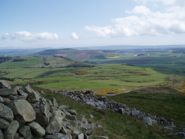
Fortified place · Iron Age
Norman's Law Hillfort
Fife
Two concentric stone ramparts enclosing roughly four hectares mark this as a hillfort (an upland enclosure defended by earthen banks) community of…
- Near St Andrews
- Rough ground
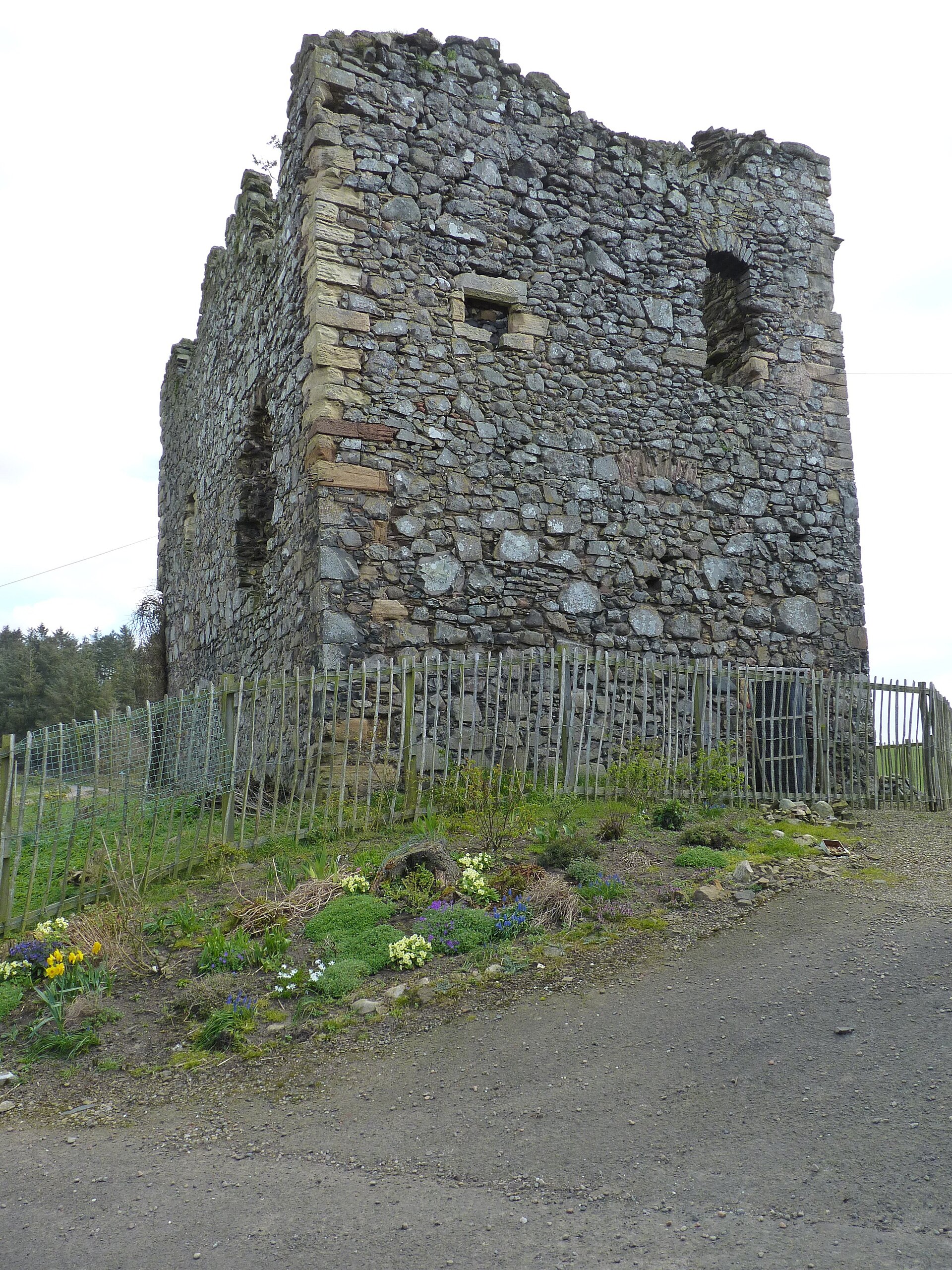
Minor monument · Medieval
Dovecot, Creich Castle
Fife
Creich’s 1723 pigeon house is an unusually formal castle lean-to, where twin chambers, rat-proofing and dormer entries make estate food production…

Carved stone · Pictish & early medieval
Abdie stone
Fife
The Abdie Stone is a rare Class I Pictish (of the Picts, the people of northern and eastern Scotland from about AD 300 to 900) monument in Fife who…
- Easy path
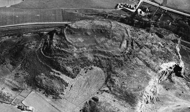
Fortified place · Iron Age
Clatchard Craig
Fife
Clatchard Craig was an important stronghold of the Picts, the people of northern and eastern Scotland from about AD 300 to 900, with evidence of el…
- Some walking
The setting
Summit trig pillar on Norman’s Law, overlooking the Firth of Tay.
Photo: Trevor Littlewood / Wikimedia Commons / CC BY-SA 2.0
View north from Norman’s Law across the Firth of Tay and north Fife farmland.
Photo: Alan O'Dowd / Wikimedia Commons / CC BY-SA 2.0
The summit trig pillar at Norman’s Law, with the Firth of Tay beyond.
Photo: Robert Struthers / Wikimedia Commons / CC BY-SA 2.0
Questions people ask
- What is Norman’s Law?
- It is a prominent Fife hill at the eastern end of the Ochil Fault, with a scheduled Iron Age hillfort and settlement around its summit cairn.
- Why was an Iron Age hillfort built at Norman’s Law?
- The summit has steep slopes that offered a defensive advantage and commanding views over the surrounding countryside.
- How can the summit be reached?
- A short ascent begins near Brunton, and a waymarked path to the summit starts in Luthrie.
Sources
Explore more: Fortified places · Iron Age · Fife
The Ancient Codex, in your pocket
Get the Pocket Codex app
Carry the directory with you — Norman's Law and thousands of ancient places across Britain and Ireland, offline, wherever you roam.