
Rough Castle is one of the best-preserved forts on the Antonine Wall, retaining the defensive landscape of Rome’s short-lived northern frontier and evidence for a garrison drawn from the Gallic Nervii.
At Rough Castle, pits once set with stakes guard the north approach to the Antonine Wall. Near Bonnybridge, the surviving banks and ditches still show the course of the fort’s gateways even though its timber and stone buildings have gone.
The Romans built the fort after the Wall was established around AD 143. It enclosed roughly 4,000 square metres, making it the frontier’s second smallest fort, yet its turf defences were about six metres thick and its entrances were planned to control the crossing of the line.
Excavation revealed a bath house, headquarters, granary, barracks and a commander’s dwelling. Inscriptions name Cohors VI Nerviorum, a unit 480 strong, connecting the surviving banks with the garrison that once held them. The National Trust for Scotland now looks after the site.
What follows is drawn from published sources, with each claim labelled by how firmly it is established.
History
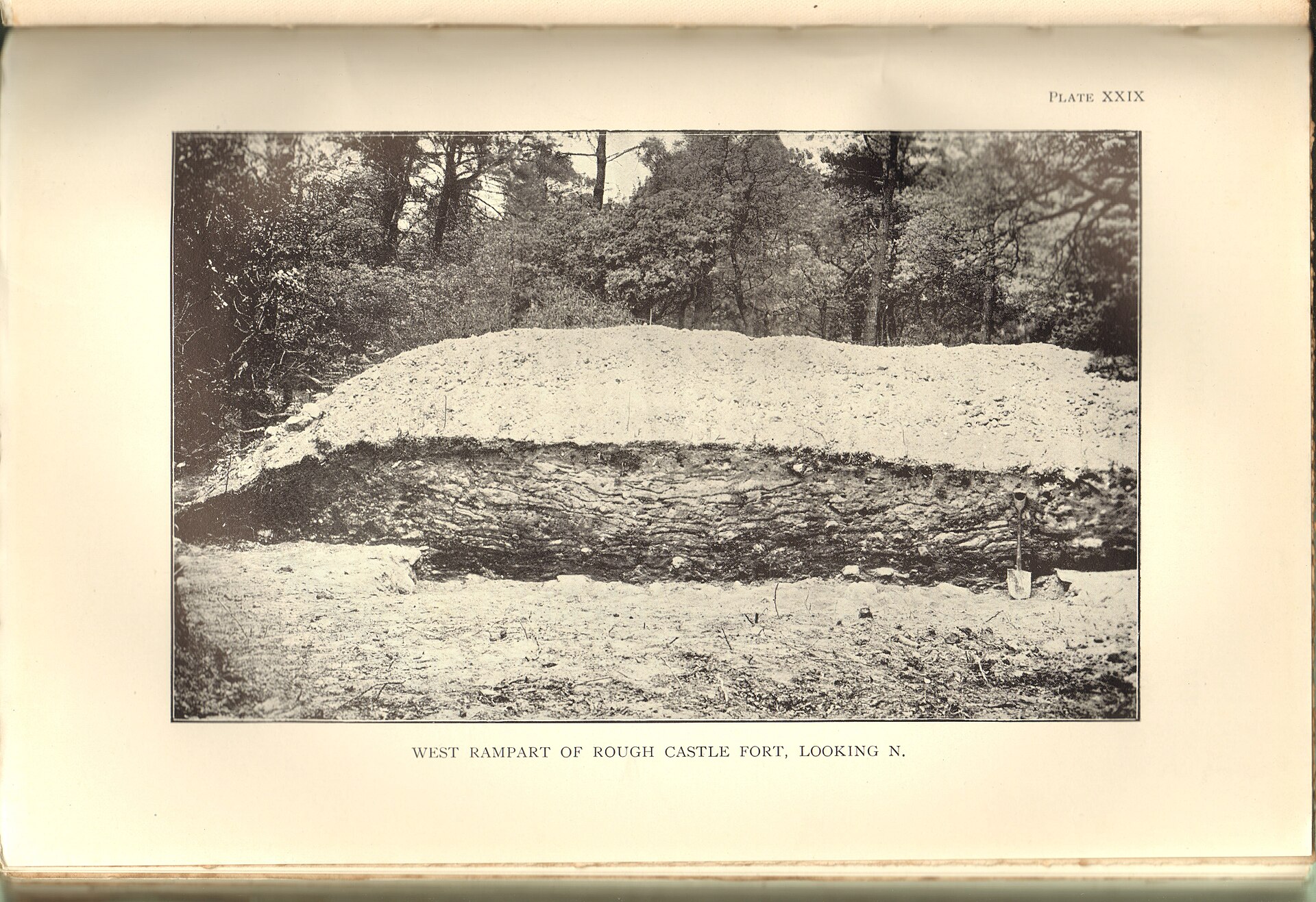
The Antonine Wall was established around AD 143, and Rough Castle was laid out immediately south of it near Tamfourhill. Covering about 4,000 square metres, it was the Wall’s second-smallest fort, but its tightly controlled position governed movement through Rome’s northern frontier. Rough Castle’s defences included turf ramparts about six metres thick and ditches around the fort. Gateways pierced the Wall to the north and the other fort sides, with causeways bridging the main and secondary ditches; this practical layout controlled movement while allowing the garrison to reach the military road along the Wall.
Investigations undertaken in 1902–03, 1932 and 1957–61 revealed foundations for a headquarters, bath house, granary, barracks and the commander's dwelling. Several were built in stone, notable on a frontier where that material was less usual, although no superstructures remain. Archaeologists found a north-western series of lilia pits near the gateway causeway. These stake-filled pits protected the most vulnerable approach, while an altar to Victory, found south of the fort in 1843, and finds including shoes, glass and a bangle reveal military, religious and everyday life on the frontier.
People
-
Cohors VI Nerviorum
Unit of 480 foot soldiers from the north-eastern Gallic Nervii, identified by inscriptions at the fort.
-
Flavius Betto
Commanding officer associated with the garrison.
-
Geoff Bailey
Falkirk Museum archaeology and local-history keeper who presented a video overview of the site.
Cultural influences
-
The Wall’s road, rampart, ditch and network of forts shaped Rough Castle’s position and operations.
Connections
-
Bonnybridge
Town roughly two kilometres north-west of Rough Castle.
-
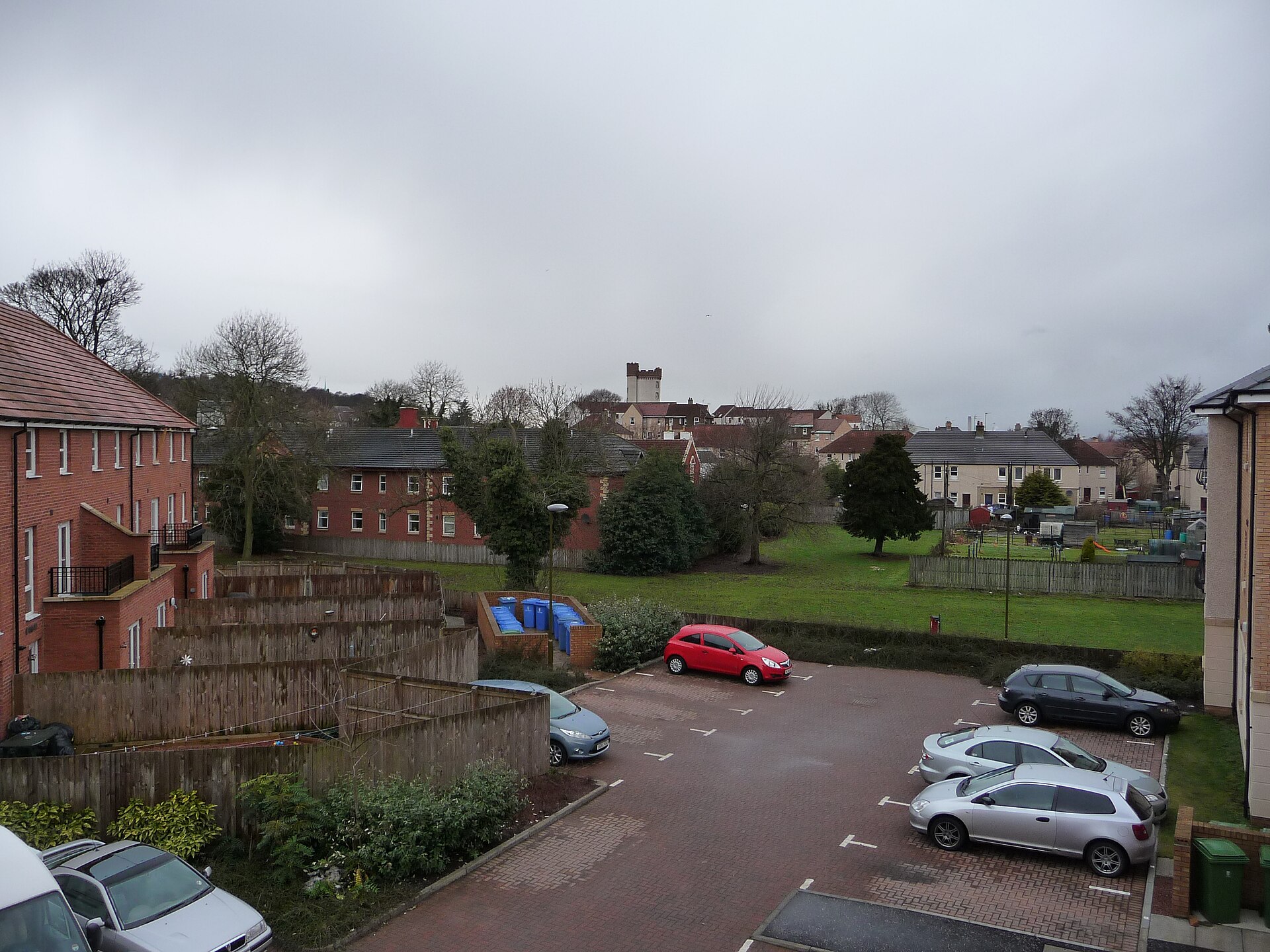
Photo: Bob Simpson / Wikimedia Commons / CC BY-SA 2.0 Roman distance slab featured in a Falkirk Council video that also provides an overview of Rough Castle.
Discovery & excavation
Excavations in the early 1900s identified the headquarters building, granary, probable officers’ quarters and bath-house within the fort.
In culture
-
Digital reconstruction produced to present the fort’s lost buildings and layout.
What to look for
-
Rampart and ditch
A particularly fine stretch west of the fort makes the Antonine Wall’s earthwork system visible.
-
Lilia pits
The north-western pit series shows how sharpened stakes once defended the northern approach.
-
Military road
The road on the Wall’s south side remains well defined and connected all frontier forts.
Plan your visit
- Location
- 55.9978°N · 3.8560°W
- Nearest settlement
- Bonnybridge
- Access
- Open access
- Terrain
- Moderate walking
- Start point
- Rough Castle · Signposted at Bonnybridge from the B816 between Bonnybridge and High Bonnybridge. Please be aware that the last stage of the journey is along rough, rural farm track. · Alternately, Rough Castle can be reached on foot from the Falkirk Wheel, via a signposted path from the visitor centre. The walk takes about 15 minutes.
- Time needed
- About 45 minutes
- Best time
- Open year-round.
- What survives
- The Roman buildings have gone, but the fort’s banks, ditches, gateway courses and lilia pits remain visible in the landscape.
- Facilities
- No dedicated visitor facilities are documented at the earthworks; plan to use facilities in nearby settlements.
- Start point
- Falkirk Wheel Visitor Centre — Historic Environment Scotland directs visitors to walk from the Falkirk Wheel visitor centre (about 15 minutes). The fort can alternatively be reached by car via a rough rural farm track signposted at Bonnybridge off the B816.
Opening & admission
Free entry
- Open year-round.
Nearby places
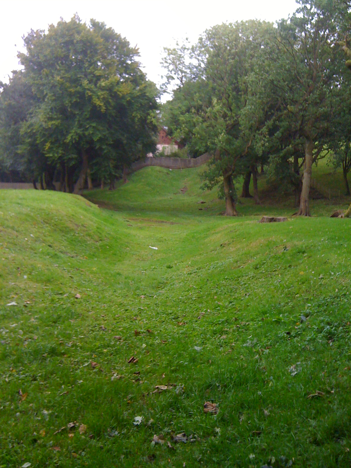
Fortified place · Roman
Watling Lodge
Falkirk
Watling Lodge contains a notably well-preserved stretch of Antonine Wall ditch, showing the frontier’s local defensive landscape between the Roman…
- Some walking
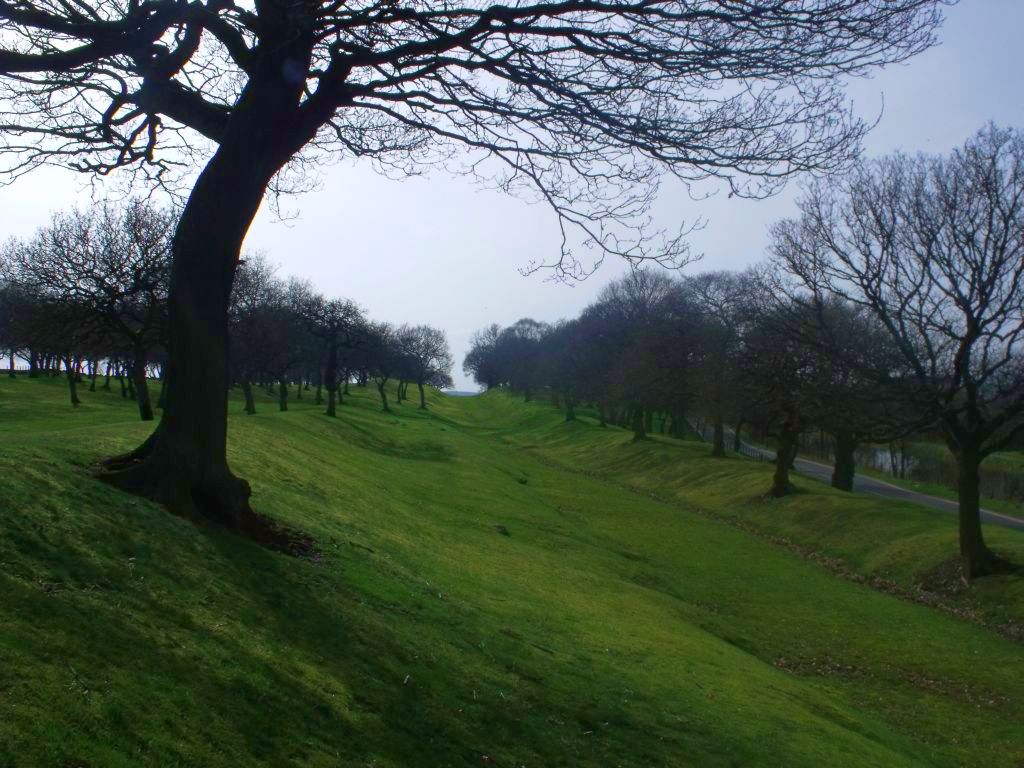
Fortified place · Roman
Seabegs Wood
Falkirk
Seabegs Wood preserves a fortlet on the Antonine Wall, with excavated rampart (a defensive bank of earth or stone) foundations and a position betwe…
- Some walking
Carved stone · Prehistoric
Tappoch Broch
Falkirk
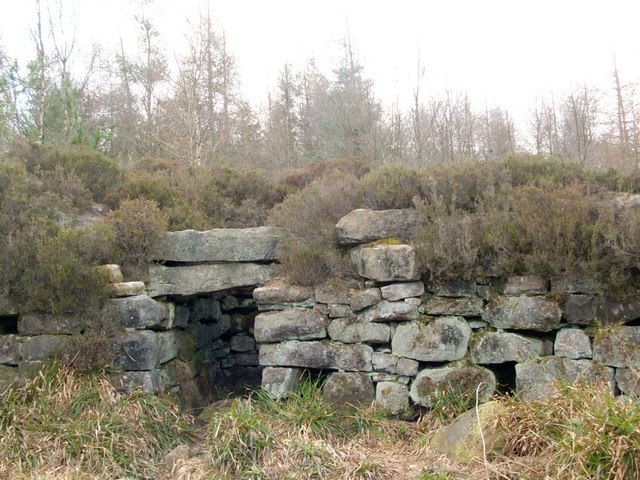
Tappoch Broch is a scheduled stone tower dating from from about 800 BC until the Romans came, whose surviving chamber, staircase and recent conserv…
- Near Torwood
- 20 min walk from car park
- Some walking
Ancient tree · Medieval
Wallace Oak (Torwood)
Falkirk
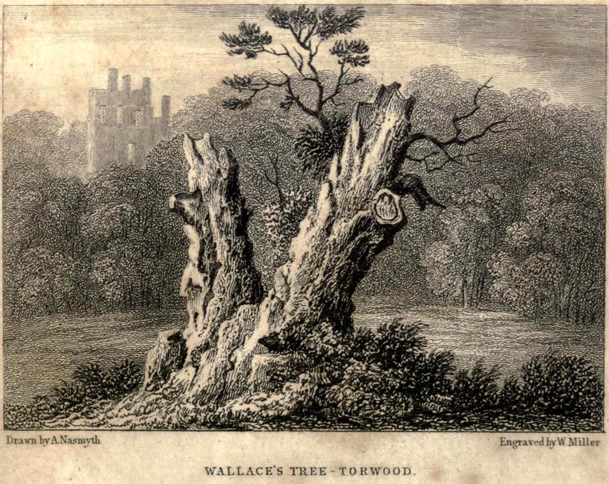
The lost Wallace Oak shows how a woodland landmark became a national relic, its unproven Wallace tradition driving souvenir cutting and an unusuall…
- Near Falkirk
Questions people ask
- When was Rough Castle built?
- It was built as part of the Antonine Wall frontier, which dates from about AD 143.
- Who garrisoned Rough Castle?
- Inscriptions indicate a force of 480 men from Cohors VI Nerviorum, foot soldiers drawn from the Gallic Nervii tribe.
- What has excavation revealed at Rough Castle?
- Excavation identified a headquarters, bath house, granary, barracks and a commander's dwelling, together with defensive lilia pits near the northern gateway.
Sources
The Ancient Codex, in your pocket
Get the Pocket Codex app
Carry the directory with you — Antonine Wall: Rough Castle and thousands of ancient places across Britain and Ireland, offline, wherever you roam.