
Watling Lodge contains a notably well-preserved stretch of Antonine Wall ditch, showing the frontier’s local defensive landscape between the Roman forts of Rough Castle and Falkirk.
At Watling Lodge, south-west of Falkirk, the Antonine Wall is experienced less as a standing monument than as a deep, enduring line in the landscape. The fortlet site is associated with what has been described as the best-preserved surviving stretch of the Wall’s ditch, close to the Forth and Clyde Canal at Lock Sixteen.
The location also reveals the frontier as a network. Watling Lodge sat between Rough Castle and Falkirk, with Camelon to the north and a temporary Roman camp nearby to the south. A surviving ditch, interpretation panel and digital reconstructions help make a small Roman installation legible within that wider system.
The fortlet stood near what is now Lock Sixteen on the Forth and Clyde Canal in Falkirk, with neighbouring forts at Rough Castle to the west and Falkirk to the east, and a further fort at Camelon to the north. A Roman temporary camp has been found a short distance to the south.
Watling Lodge has been described as the best preserved stretch of ditch from the Antonine Wall still in existence. It runs along Tamfourhill Road, south-west of Falkirk, and the surviving length is in excellent condition.
The site is signposted from the A9 and reached from the B816, Tamfourhill Road. An information panel stands fairly close to the top of the wall, showing how the wall may have looked and setting out the fortlet’s place in the overall design of the frontier.
Sir George Macdonald wrote about the site. A digital reconstruction of the fortlet has since been created, along with a Minecraft model of it.
What follows is drawn from published sources, with each claim labelled by how firmly it is established.
History
Watling Lodge was a Roman fortlet on the Antonine Wall. It stood near what is now Lock Sixteen on the Forth and Clyde Canal, with Rough Castle to the west and Falkirk to the east. A further fort stood at Camelon to the north, while a Roman temporary camp was found a short distance south of the site. The site is especially valued for preservation of the Wall’s ditch. It has been described as the best-preserved stretch of Antonine Wall ditch surviving today. The fortlet lies along Tamfourhill Road south-west of Falkirk, where the surviving earthwork makes the construction line unusually clear in the modern landscape.
Watling Lodge has attracted both archaeological interpretation and digital reconstruction. Sir George Macdonald wrote about the site, and it has been recreated as a digital model and a Minecraft model. An on-site information panel presents how the Wall may have looked and places the fortlet within the wider construction scheme.
People
-
Sir George Macdonald
Roman-frontier scholar who wrote about Watling Lodge and its place on the Antonine Wall.
Cultural influences
-
The Antonine Wall, nearby canal corridor and Tamfourhill Road frame the fortlet’s exceptionally well-preserved ditch.
Connections
-
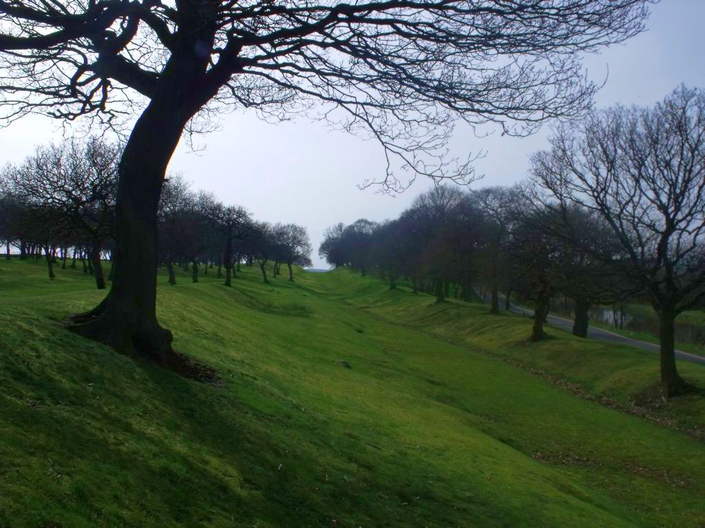
Photo: Robert Murray / Wikimedia Commons / CC BY-SA 2.0 Another Roman fort site in the Antonine frontier corridor, helping place Watling Lodge within the chain of military installations along the Wall.
-
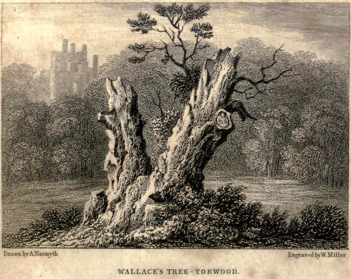
Photo: A Nasmyth / Wikimedia Commons / Public domain A long-lived natural landmark in the surrounding landscape, connecting the Roman frontier setting with later cultural memory of Torwood.
Discovery & excavation
The fortlet is identified by the best-preserved surviving stretch of Antonine Wall ditch, with a temporary camp nearby to the south.
In culture
-
Digital and Minecraft reconstructions have modelled how the fortlet and Wall may have appeared.
What to look for
-
The preserved ditch
This has been described as the best-preserved surviving stretch of Antonine Wall ditch, making the fortlet’s line unusually clear.
-
The information panel
An on-site panel interprets how the Wall may have looked and places Watling Lodge in the wider frontier construction scheme.
-
The ditch beside the road
Tamfourhill Road runs beside the earthwork, highlighting how the Roman ditch survives within Falkirk’s modern transport landscape.
-
Lock Sixteen
Lock Sixteen on the Forth and Clyde Canal marks the later waterway corridor beside the Antonine Wall fortlet.
Plan your visit
- Location
- 55.9976°N · 3.8253°W
- Access
- Reached on a public path
- Terrain
- Moderate walking
- Time needed
- About 45 minutes
- What survives
- The deep ditch survives exceptionally clearly beside Tamfourhill Road, while the fortlet itself remains an earthwork rather than a standing building.
Opening & admission
No admission charge is confirmed; check current local access information before travelling.
- The site is signposted from the A9 and accessed from the B816, Tamfourhill Road.
- There is an information panel near the top of the wall.
Nearby places
Fortified place · Roman
Antonine Wall: Rough Castle
Falkirk
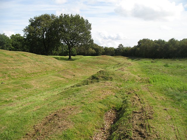
Rough Castle is one of the best-preserved forts on the Antonine Wall, retaining the defensive landscape of Rome’s short-lived northern frontier and…
- Near Bonnybridge
- 15 min walk from car park
- Some walking
Fortified place · Roman
Seabegs Wood
Falkirk
Seabegs Wood preserves a fortlet on the Antonine Wall, with excavated rampart (a defensive bank of earth or stone) foundations and a position betwe…
- Some walking
Ancient tree · Medieval
Wallace Oak (Torwood)
Falkirk
The lost Wallace Oak shows how a woodland landmark became a national relic, its unproven Wallace tradition driving souvenir cutting and an unusuall…
- Near Falkirk
Fortified place · Roman
Mumrills
Falkirk
Mumrills was the largest Roman fort on the Antonine Wall, with excavated defences and a rich group of altars, funerary evidence and everyday finds…
- Some walking
The setting
Antonine Wall earthworks and ditch beside Tamfourhill Road at Watling Lodge.
Photo: Tim Heaton / Wikimedia Commons / CC BY-SA 2.0
Questions people ask
- What was Watling Lodge?
- It was a Roman fortlet on the Antonine Wall.
- What is notable about the site today?
- It includes a stretch described as the best-preserved surviving Antonine Wall ditch.
- Which Roman sites were nearby?
- Rough Castle lay to the west, Falkirk to the east, Camelon to the north, and a temporary camp lay nearby to the south.
Sources
The Ancient Codex, in your pocket
Get the Pocket Codex app
Carry the directory with you — Watling Lodge and thousands of ancient places across Britain and Ireland, offline, wherever you roam.