
Seabegs Wood preserves a fortlet on the Antonine Wall, with excavated rampart (a defensive bank of earth or stone) foundations and a position between the larger Roman forts of Castlecary and Rough Castle.
At Seabegs Wood, the line of the Antonine Wall still reads across the ground, with a waterlogged ditch recorded by earlier archaeologists and the nearby Forth and Clyde Canal underpass known as the Pend. It is a small but important part of the Roman frontier landscape, where the boundary itself is as central as the fortlet.
Excavation has revealed a Roman fortlet attached to the wall’s south side, while the wider setting includes neighbouring forts and marching camps. The site shows how a defended frontier worked through a network of different-sized installations rather than through isolated forts alone.
The outline of the Antonine Wall has lasted at Seabegs. Archaeologists of earlier generations recorded it and noted that the ditch was deep and waterlogged. An underpass beneath the Forth and Clyde Canal nearby is known locally as the Pend.
In the 1890s the Antonine Wall Committee of the Glasgow Archaeological Society cut several trenches across the Roman rampart and uncovered its stone base. Later excavation in 1977 found a Roman fortlet attached to the south of the rampart, and in 1981 a mound was examined, though little came of it.
The neighbouring forts are Castlecary to the west and Rough Castle to the east. Sir George Macdonald and others reasoned that because those two stood relatively far apart, some further structure was likely in the Seabegs area — which is what the 1977 work confirmed.
No coinage has been recovered from the site and no inscriptions. There are two marching camps nearby, at Dalnair and Milnquarter.
Seabegs Wood formed part of the ancient Barony of Seabegs, and is now part of the UNESCO World Heritage Site as the best preserved portion of the Antonine Wall. The Seabegs Collection of ancient Roman coinage was donated to Dalhousie University in Halifax, Nova Scotia, to commemorate that connection; it consists of gold, silver and bronze portrait coinage depicting the majority of the Roman emperors.
What follows is drawn from published sources, with each claim labelled by how firmly it is established.
History
Seabegs Wood was the site of a Roman fortlet on the Antonine Wall. Archaeologists recorded the surviving outline of the wall and a deep, waterlogged ditch. Trenches cut across the rampart in the 1890s by the Glasgow Archaeological Society’s Antonine Wall Committee exposed its stone base, providing direct evidence for the construction of the frontier.
Excavations in 1977 identified a Roman fortlet attached to the south side of the rampart. A mound was examined in 1981, though little was discovered. The fortlet fills a gap between the larger forts of Castlecary to the west and Rough Castle to the east, an arrangement that had led earlier researchers to expect a structure in the Seabegs area.
Seabegs Wood forms part of the UNESCO World Heritage Site representing the Antonine Wall. Two marching camps lie nearby at Dalnair and Milnquarter. No coinage or inscriptions have been recovered at the fortlet, so the documented earthworks and excavation evidence remain especially important for interpreting the site.
Cultural influences
-
The Antonine Wall’s rampart and waterlogged ditch shape this fortlet’s position between the larger forts at Castlecary and Rough Castle.
Connections
-
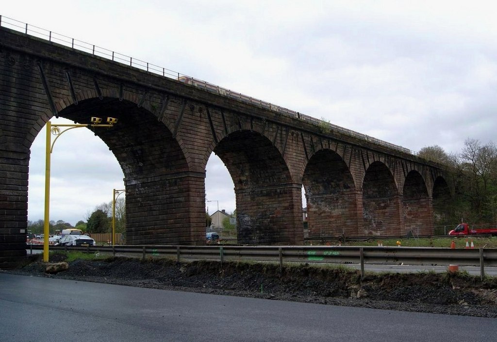
Photo: Texas Radio and The Big Beat / Wikimedia Commons / CC BY-SA 2.0 Another Roman fort on the Antonine frontier, helping place Seabegs Wood within the chain of military sites along the Wall.
-
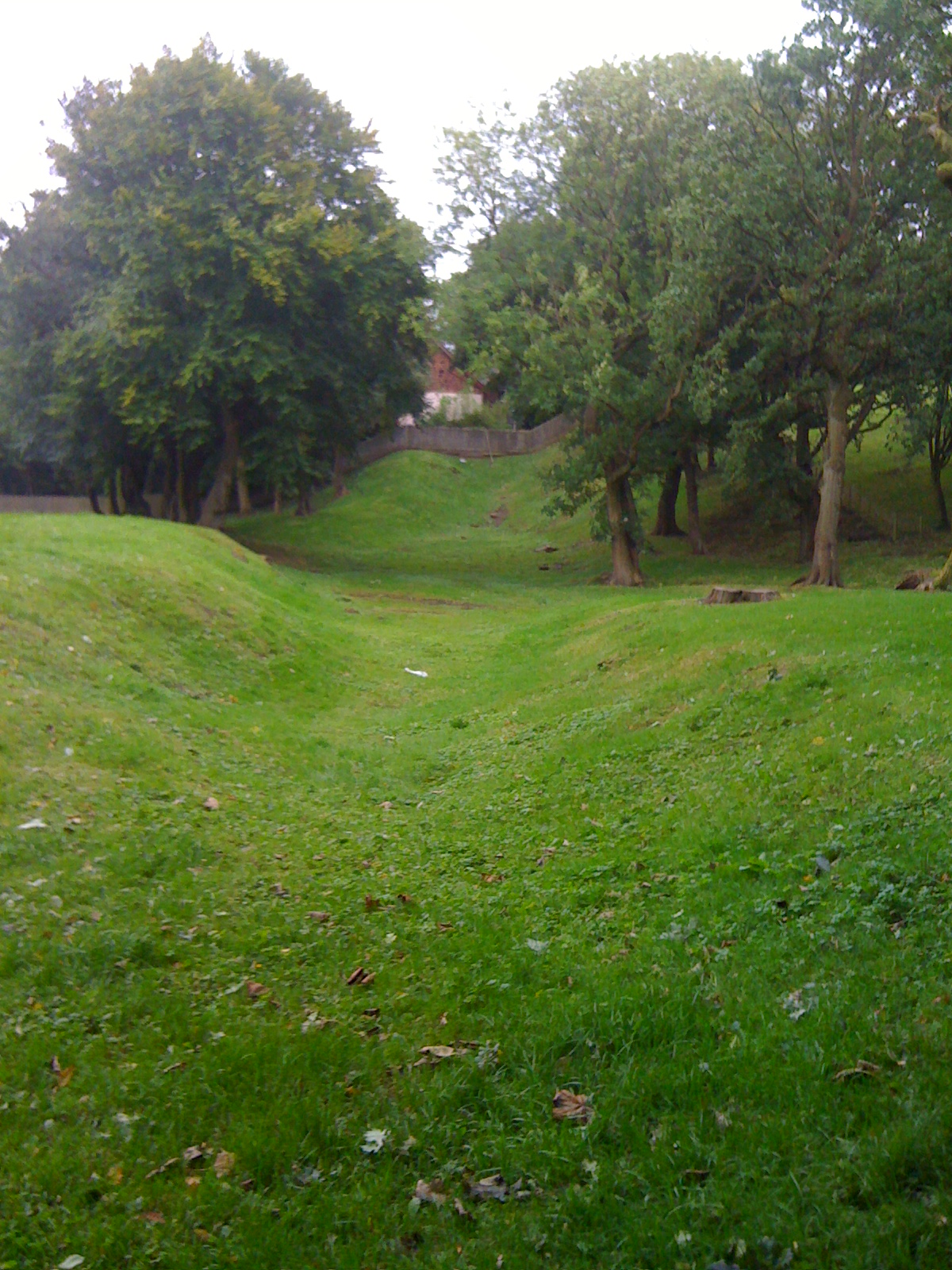
Photo: Darrin Antrobus / Wikimedia Commons / CC BY-SA 2.0 A Roman fort site in the same frontier corridor, providing a comparison with Seabegs Wood’s archaeological remains.
Discovery & excavation
Nineteenth-century trenches exposed the Wall’s stone base, and excavation in 1977 identified a fortlet attached to the south side of the rampart.
What to look for
-
The Wall’s course
The visible Antonine Wall line crosses Seabegs Wood, where nineteenth-century trenches exposed the rampart’s stone base.
-
The waterlogged ditch
A deep waterlogged ditch follows the Wall, preserving the earthwork that makes this frontier section unusually legible.
-
The fortlet
The 1977 excavation identified a fortlet attached to the rampart’s south side, filling the gap between Castlecary and Rough Castle.
-
The Pend
The canal underpass called the Pend sits in a later transport landscape beside the Roman frontier earthworks.
Plan your visit
- Location
- 55.9910°N · 3.9066°W
- Access
- Open access
- Terrain
- Moderate walking
- Time needed
- About 45 minutes
- What survives
- The Wall’s course and a deep waterlogged ditch remain visible, while the fortlet survives as a subtle earthwork south of the rampart.
Opening & admission
No admission arrangement is confirmed; check current local access information before travelling.
- A nearby canal underpass is known locally as the Pend.
- Earlier archaeologists recorded the ditch as deep and waterlogged.
Nearby places
Fortified place · Roman
Castlecary Roman fort
Falkirk
Castlecary Roman Fort anchors an Antonine Wall landscape where archaeological finds: altars, a bathhouse, children’s shoes and military inscription…
- Some walking
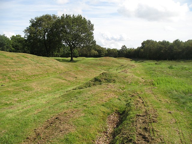
Fortified place · Roman
Antonine Wall: Rough Castle
Falkirk
Rough Castle is one of the best-preserved forts on the Antonine Wall, retaining the defensive landscape of Rome’s short-lived northern frontier and…
- Near Bonnybridge
- 15 min walk from car park
- Some walking
Fortified place · Roman
Watling Lodge
Falkirk
Watling Lodge contains a notably well-preserved stretch of Antonine Wall ditch, showing the frontier’s local defensive landscape between the Roman…
- Some walking
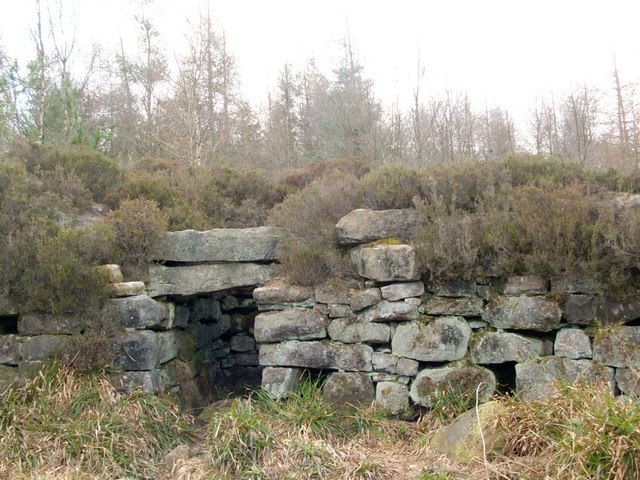
Carved stone · Prehistoric
Tappoch Broch
Falkirk
Tappoch Broch is a scheduled stone tower dating from from about 800 BC until the Romans came, whose surviving chamber, staircase and recent conserv…
- Near Torwood
- 20 min walk from car park
- Some walking
Questions people ask
- What was Seabegs Wood?
- It was the site of a Roman fortlet on the Antonine Wall.
- What did excavations find?
- 1890s trenches found the rampart’s stone base, and a 1977 excavation found a fortlet attached to the wall’s south side.
- Are any finds known from the site?
- No coinage or inscriptions have been recovered.
Sources
The Ancient Codex, in your pocket
Get the Pocket Codex app
Carry the directory with you — Seabegs Wood and thousands of ancient places across Britain and Ireland, offline, wherever you roam.