
A single earthen bank, not the layered ramparts of its grander neighbours, rings this Lammermuir summit — a modest, univallate answer to the same Iron Age (roughly 800 BC until the Roman conquest) need for height and shelter.
Only one bank circles Blackcastle Hill’s summit, a low earthen rim above the Lammermuir slopes south of Innerwick. There is no second defensive bank behind it: the fort’s makers relied on the hill’s steep sides as part of its defence.
Near Cocklaw, at about 280 metres above sea level, the enclosure looks over the surrounding upland. It belongs to East Lothian’s wider Iron Age hillfort landscape, yet its single circuit makes a quieter contrast with the more elaborate defences at places such as Traprain Law.
No later building occupies the summit. The weathered bank remains the principal visible trace of the community that shaped the hilltop, still readable as a complete circuit where the ground falls away around it.
Survey and catalogue evidence give the enclosure its documentary context. The fort is identified near Cocklaw, south of Innerwick, at roughly 280 metres above sea level. Its single earthen circuit is significant precisely because it does not rely on the successive ramparts found at some hillforts: the summit edge and falling slopes formed part of the defensive choice. The surviving bank is therefore both an archaeological feature and the clearest way to understand how the hill was selected, enclosed and distinguished within East Lothian’s wider Iron Age landscape.
What follows is drawn from published sources, with each claim labelled by how firmly it is established.
History
During the Iron Age, a community working the upland south of Innerwick raised a single earthen bank around the summit of Blackcastle Hill, enclosing the high ground at around 280 metres above sea level. Rather than layering multiple ramparts and ditches as builders did at some neighbouring sites, they relied on one continuous bank, letting the steep natural slopes of the Lammermuir Hills carry much of the defensive burden that elsewhere was built up in earth and stone.
In the centuries that followed, the hill saw no further large-scale building, and the fort's single bank survived largely as the Iron Age community left it, weathering into the low earthwork visible today rather than being buried or ploughed away. Its position near Cocklaw, away from later settlement and cultivation, is likely a large part of why the circuit has remained traceable on the ground for so long.
In the twentieth century Scotland’s national monument inventory surveyed Blackcastle Hill and placed it formally alongside the region’s other Iron Age hillforts. Its findings later passed into the Canmore database and the Gazetteer for Scotland’s account of the Innerwick area, and remain the principal documentary source for the earthwork’s form and setting.
Cultural influences
-
Blackcastle Hill’s single circuit uses the summit’s steep natural slopes as part of its defence, contrasting with the more elaborate ramparts of neighbouring East Lothian hillforts.
Connections
-
Traprain Law hillfort
A much larger Iron Age hillfort elsewhere in East Lothian, grouped with Blackcastle Hill as part of the county's wider hillfort landscape.
-
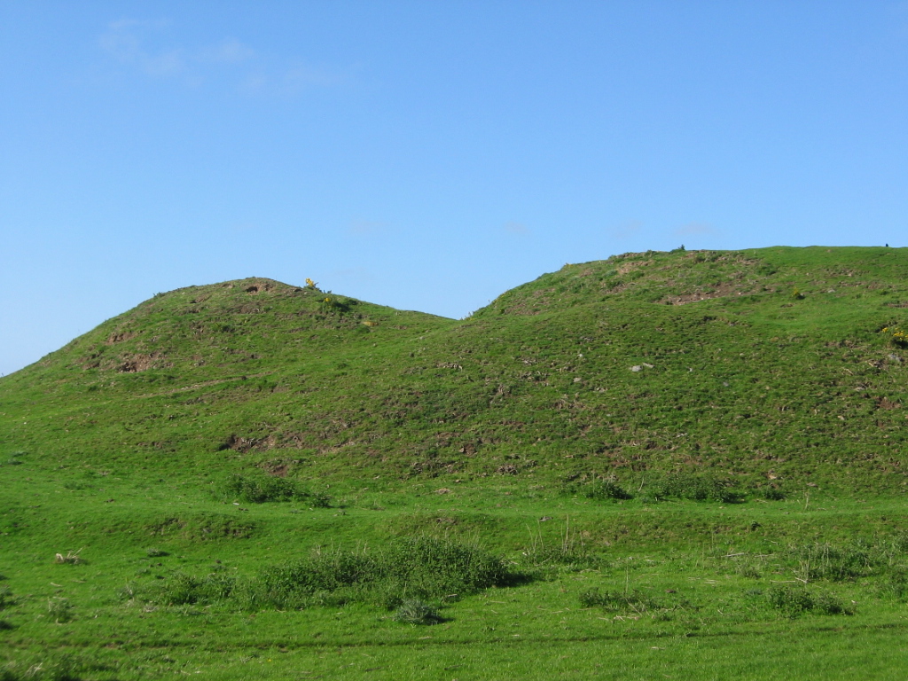
Photo: Renata (talk) / Wikimedia Commons / Public domain Another Iron Age hillfort in East Lothian, listed alongside Blackcastle Hill among the county's hilltop enclosures.
-
White Castle, East Lothian
A further East Lothian hillfort grouped with Blackcastle Hill in the regional record of Iron Age sites.
-
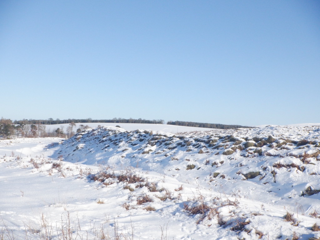
Photo: Richard Webb / Wikimedia Commons / CC BY-SA 2.0 A similarly named East Lothian hillfort, distinct from Blackcastle Hill but recorded alongside it in the same set of upland sites.
Discovery & excavation
Blackcastle Hill was surveyed and catalogued by Scotland’s former national monument-recording body. Its findings underpin the current Canmore entry and the Gazetteer for Scotland’s coverage of the Innerwick area.
What to look for
-
The single defensive bank
A continuous earthen bank rings the summit, the fort's only line of defence rather than one of several concentric ramparts.
-
The hilltop setting
The fort occupies high ground at around 280 metres above sea level near Cocklaw, giving wide views across the surrounding Lammermuir upland.
Plan your visit
- Location
- 55.9378°N · 2.4613°W
- Access
- Open access
- Terrain
- Moderate walking
- Time needed
- About 60 minutes
Nearby places
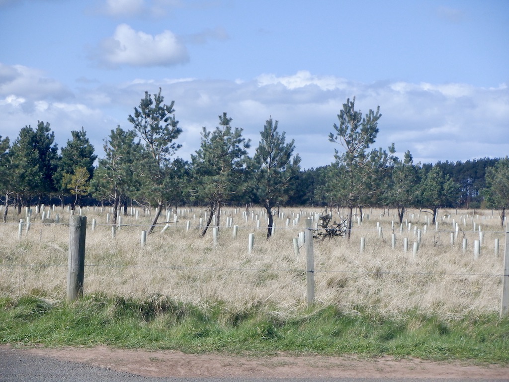
Fortified place · Iron Age
Broxmouth
East Lothian
The most completely excavated hillfort (a defended enclosure on high ground, ringed with banks and ditches) in Scotland, its cemetery preserves rar…
- Some walking
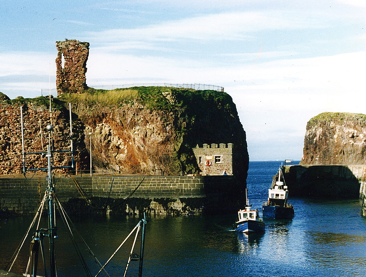
Fortified place · Medieval
Dunbar Castle
East Lothian
A red-stone stronghold so formidable it was besieged, rebuilt and fought over for a thousand years, then torn down so thoroughly no one could ever…
- Near Dunbar
Fortified place · Iron Age
Edin's Hall Broch
Scottish Borders
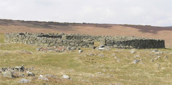
The hilltop on the northeast slope of Cockburn Law was first fortified in the pre-Roman Iron Age, when double ramparts and ditches enclosed an oval…
- Near Duns
- 1.8 km from car park
- Some walking
Settlement · Prehistoric
Traprain Law
East Lothian
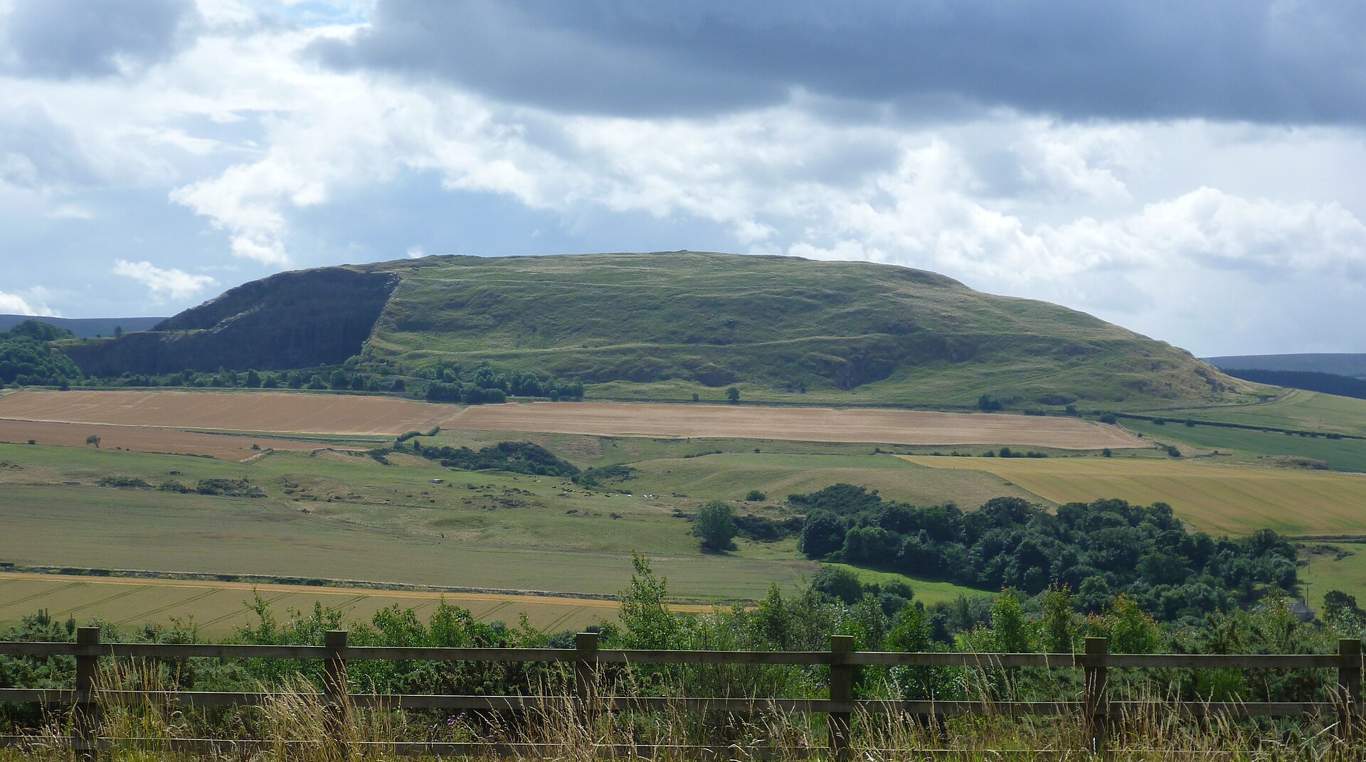
The hill was already a place of burial by around 1500 BC and shows evidence of occupation and ramparts after 1000 BC; the ramparts were rebuilt and…
- Near East Linton
- 25 min walk from car park
- Some walking
Questions people ask
- What kind of site is Blackcastle Hill?
- It is an Iron Age hillfort in the Lammermuir Hills of East Lothian, Scotland, defended by a single earthen bank.
- Where exactly is Blackcastle Hill?
- It lies south of Innerwick, near Cocklaw in the Lammermuir Hills, East Lothian, at grid reference NT729724.
- How high is the hillfort above sea level?
- The fort sits at about 280 metres (920 feet) above sea level.
- What defences does the fort have?
- A single defensive bank encloses the summit, rather than the multiple concentric ramparts seen at some other hillforts.
- Are there other hillforts nearby?
- Yes — East Lothian hillforts including Traprain Law, Chesters Hill Fort, White Castle and Black Castle lie within the same county.
Sources
- Wikipedia: Blackcastle Hill, East Lothian
- Canmore site record 58973
- Gazetteer for Scotland
Explore more: Fortified places · Iron Age · East Lothian
The Ancient Codex, in your pocket
Get the Pocket Codex app
Carry the directory with you — Blackcastle Hill, East Lothian and thousands of ancient places across Britain and Ireland, offline, wherever you roam.