
A double ring of earthen ramparts with two carefully placed causewayed entrances, sited between two other named hillforts in a dense East Lothian cluster.
A hillock south-east of Gifford carries two concentric rings of earth and stone, still legible as banks running round the summit almost four centuries after anyone last needed them for defence. The inner and outer ramparts enclose a roughly oval area some 120 by 100 metres across, and whoever built them thought carefully about access: rather than a single gap, two separate entrances were left as causeways crossing the ditches, allowing controlled movement in and out of the enclosure.
The fort sits at around 270 metres above sea level, high enough to command the ground around it without being remote from the routes below. It lies close to a neighbouring hillfort, Green Castle, and to a farmstead called Darent House, placing it within a stretch of countryside south of the B6355 that carried more than one Iron Age stronghold. A plantation on its western side, known as Black Castle Wood, now grows over part of the approach.
No excavation record or documentary history survives to say who occupied the site or for how long, but its earthworks were considered significant enough for legal protection: Black Castle is a scheduled monument, meaning the ramparts and ditches are safeguarded from disturbance under Scottish heritage law.
What follows is drawn from published sources, with each claim labelled by how firmly it is established.
History
During the Iron Age, builders chose a hillock rising to around 270 metres south-east of Gifford and raised a pair of concentric earthen ramparts around its summit, enclosing an oval area roughly 120 by 100 metres. The choice of two separate causewayed entrances, rather than a single gated approach, suggests a deliberate concern with how people and livestock moved in and out of the enclosure.
In the centuries after its abandonment the fort was left largely undisturbed, and no record survives of any later reuse, rebuilding, or documented occupation on the site. Woodland eventually grew up along its western flank, known today as Black Castle Wood, gradually softening the approach to the earthworks without erasing the ramparts themselves. In recognition of the surviving earthworks, Black Castle was designated a scheduled monument, giving its ramparts and ditches statutory protection under Scottish heritage legislation and formally acknowledging the site as a nationally important example of Iron Age defensive construction.
Cultural influences
-
Black Castle’s twin ramparts, ditches and controlled entrances reflect the hillfort’s position within East Lothian’s wider Iron Age defensive landscape.
Connections
-
Green Castle hillfort
A neighbouring hillfort sited close enough to Black Castle that the two are described together in relation to the same stretch of ground south of the B6355.
-
White Castle, East Lothian
Another named East Lothian hillfort grouped with Black Castle as part of the same regional cluster of Iron Age forts.
-
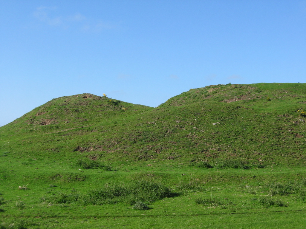
Photo: Renata (talk) / Wikimedia Commons / Public domain A further East Lothian hillfort associated with Black Castle in records of the area's Iron Age monuments.
-
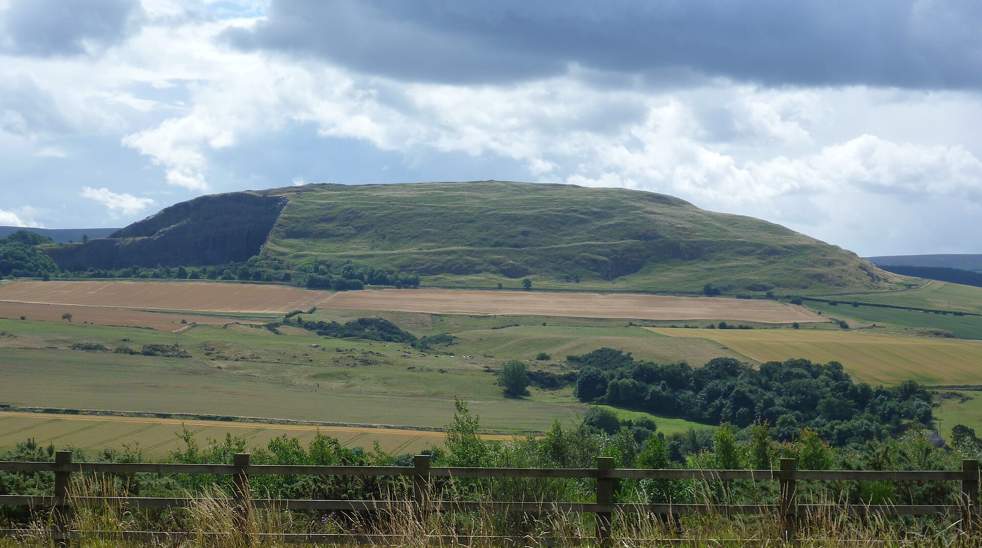
Photo: Kim Traynor / Wikimedia Commons / CC BY-SA 3.0 The best-known Iron Age hillfort in East Lothian, linked to Black Castle as part of the county's wider network of hillfort sites.
What to look for
-
Inner and outer ramparts
Two concentric banks of earth encircle the hillock's summit, the surviving skeleton of the fort's main defences.
-
Twin causewayed entrances
Two separate causeways cross the ditches to form distinct entrances, rather than a single gated approach.
-
Black Castle Wood
A plantation on the western side of the hillock now grows over part of the ground leading up to the fort.
Plan your visit
- Location
- 55.8867°N · 2.6728°W
- Access
- Open access
- Terrain
- Moderate walking
- Time needed
- About 45 minutes
Nearby places
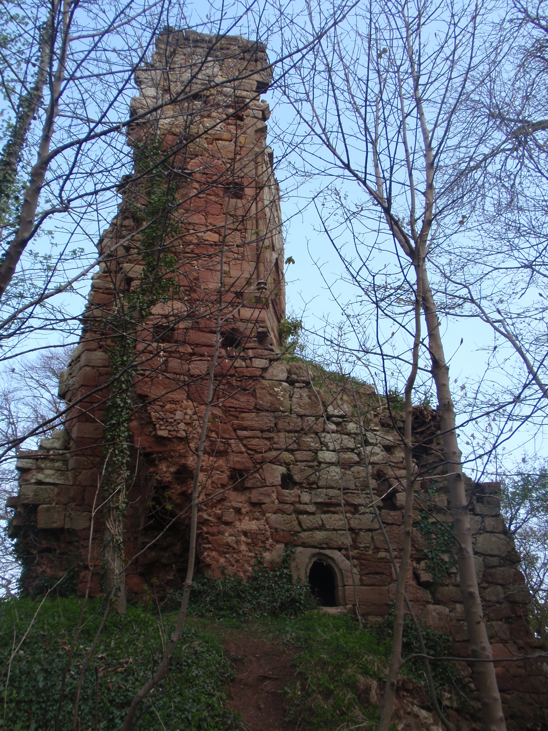
Fortified place · Medieval
Yester Castle
East Lothian
Yester is remembered for its extraordinary underground Goblin Ha’, a surviving medieval hall bound to the enduring folklore of the ‘Wizard of Yester’.
- Near Dunbar

Tomb or burial place · Prehistoric
Mutiny Stones
Scottish Borders
A Neolithic long cairn named after a devil's mittenful of stones: and reduced to less than half its remembered height by shepherds building walls.
- Rough ground
Settlement · Prehistoric
Traprain Law
East Lothian
The hill was already a place of burial by around 1500 BC and shows evidence of occupation and ramparts after 1000 BC; the ramparts were rebuilt and…
- Near East Linton
- 25 min walk from car park
- Some walking
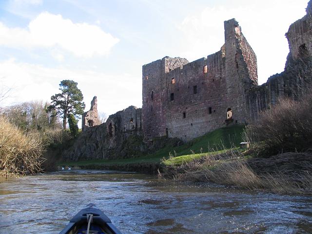
Fortified place · Medieval
Hailes Castle
East Lothian
Hailes Castle is a riverside Hepburn stronghold whose fourteenth-century towers, chapel and service rooms record border warfare and late medieval l…
- Near Dunbar
Questions people ask
- What kind of monument is Black Castle, East Lothian?
- It is an Iron Age hillfort with an inner and an outer defensive rampart, sited on a hillock south-east of Gifford.
- How big is the fort?
- The enclosure measures roughly 120 by 100 metres, sitting on a hillock at around 270 metres above sea level.
- How many entrances does it have?
- Two, each marked by a causeway crossing the surrounding ditches.
- Is Black Castle protected?
- Yes, it is a scheduled monument under Scottish heritage law, protecting its ramparts and ditches from disturbance.
- Where exactly is it located?
- About 5 kilometres south-east of Gifford, East Lothian, south of the B6355, between Darent House and Green Castle hillfort.
Sources
The Ancient Codex, in your pocket
Get the Pocket Codex app
Carry the directory with you — Black Castle, East Lothian and thousands of ancient places across Britain and Ireland, offline, wherever you roam.