
A settlement of some twenty roundhouses survives inside its ramparts and ditches — Historic Environment Scotland rates it one of the best-preserved Iron Age (roughly 800 BC until the Roman conquest) forts in the country.
A broad ring of banks and ditches survives on the north-facing slope of the Drem hills in East Lothian, holding the shape of an Iron Age settlement. Inside the defences lie the low, circular platforms of around twenty roundhouses, the timber-and-thatch homes of a farming community that once occupied this rise above the surrounding lowland.
The fort takes its modern name from the Latin castra, meaning a fortified place, a word that entered Scots and English through centuries of use for old military and defensive sites. The village of Drem sits about a mile to the north, with Ballencrieff Castle, Haddington and Athelstaneford all within a few miles, placing the fort firmly within a landscape that continued to be settled and fortified long after its own ramparts fell out of use.
Historic Environment Scotland now cares for the site and describes it as one of the best-preserved examples of an Iron Age fort anywhere in Scotland, a rare case where the density and clarity of the internal roundhouse platforms can still be read on the ground rather than reconstructed from excavation alone.
What follows is drawn from published sources, with each claim labelled by how firmly it is established.
The name
The name Chesters derives from the Latin castra, meaning a fortified place or camp — a term applied across Britain to earthwork and masonry defences long after their original Iron Age or Roman builders had gone, and later adopted into local place names by communities who recognised the sites as old strongholds.
History
During the Iron Age, builders raised a system of ramparts and ditches around the crest of the slope, enclosing a village of roughly twenty roundhouses. The scale of the internal settlement, rather than a single watching post, marks the site out as a place of sustained occupation rather than a brief refuge. In more recent times the fort passed into the care of Historic Environment Scotland, which manages it as a protected monument and describes it as one of the best-preserved examples in Scotland of an Iron Age fort, a judgement based on how clearly the ramparts and roundhouse platforms still survive above ground.
The hillfort was later the subject of a detailed programme of survey carried out by Rampart Scotland, adding to the record of its earthworks and layout.
Cultural influences
-
Chesters Hill Fort forms part of East Lothian’s long-lived defended settlement landscape, its banks, ditches and roundhouse platforms showing how a farming community shaped the Drem hills slope.
Connections
-
Rampart Scotland
Rampart Scotland’s detailed survey programme documented the hillfort’s ramparts, ditches and internal settlement platforms, strengthening the modern record of its earthworks.
Discovery & excavation
Rampart Scotland carried out a detailed survey of Chesters Hill Fort, documenting the defences and the settlement of about twenty roundhouses within them.
What to look for
-
Ramparts and ditches
A circuit of banks and ditches encloses the settlement, following the contour of the slope and marking the original defended perimeter of the fort.
-
Roundhouse platforms
Around twenty low circular platforms within the defences mark the sites of Iron Age roundhouses, giving a clear sense of the settlement's scale.
-
Hillside setting
The fort sits on the north-facing slope of the Drem hills, a position that gave its occupants views across the surrounding lowland toward Drem and beyond.
Plan your visit
- Location
- 55.9936°N · 2.7906°W
- Access
- Open access
- Terrain
- Moderate walking
- Time needed
- About 90 minutes
- Best time
- Visit in daylight and dry conditions, when the hillfort earthworks and surrounding landscape can be viewed safely.
- What survives
- Chesters is one of Scotland’s best-preserved Iron Age hillforts, with elaborate ramparts and ditches still prominent around the enclosure and the remains of several houses visible within.
- Facilities
- No dedicated visitor facilities are documented at the hillfort; plan to use facilities in nearby settlements.
Opening & admission
Free entry; open year-round.
- Check the official Historic Environment Scotland page for temporary restrictions before travelling.
Nearby places
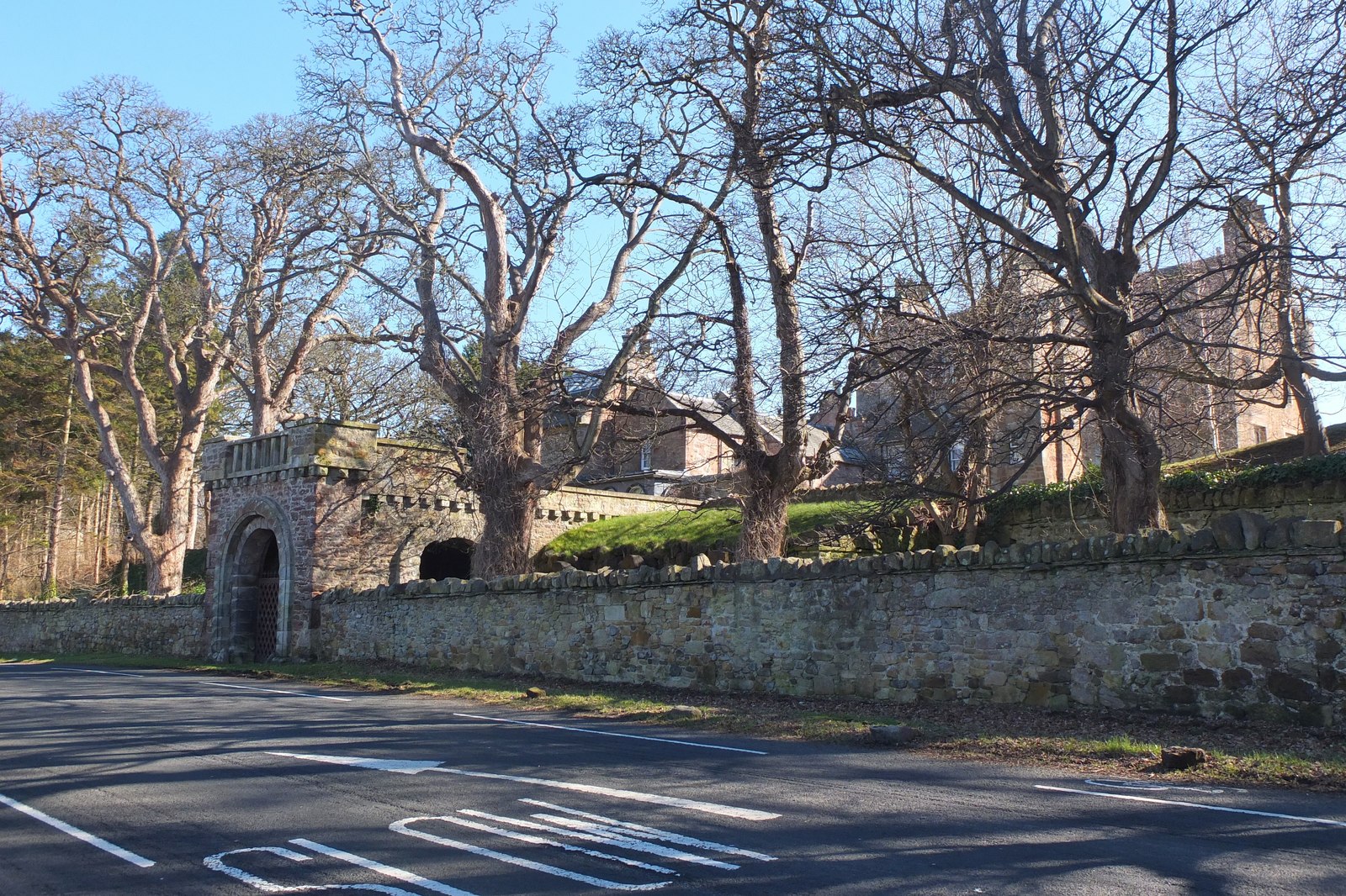
Building or ruin · Medieval
Luffness Castle
East Lothian
Luffness preserves a house within a former fortification, where medieval Lindsay power, a short-lived 1549 French–Scottish fort and later country-h…
- Near Dunbar
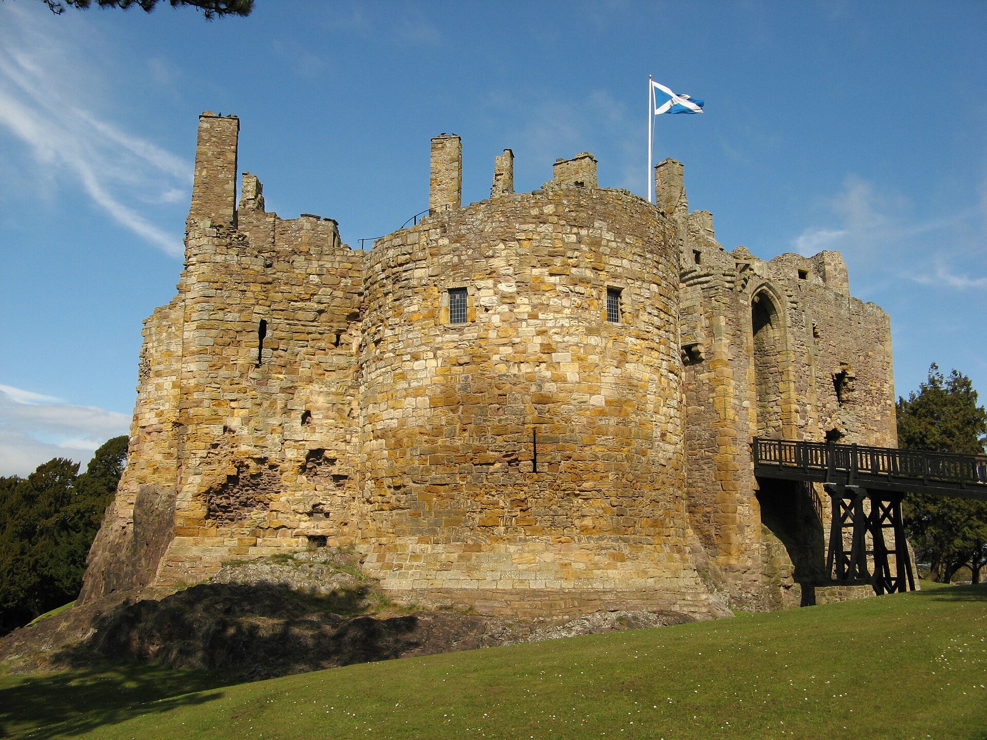
Fortified place · Medieval
Dirleton Castle
East Lothian
A thirteenth-century cluster keep of three joined round towers: among the earliest Scottish castles built with towers projecting beyond the walls,…
- Near Dunbar
- Some walking
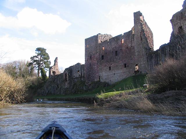
Fortified place · Medieval
Hailes Castle
East Lothian
Hailes Castle is a riverside Hepburn stronghold whose fourteenth-century towers, chapel and service rooms record border warfare and late medieval l…
- Near Dunbar
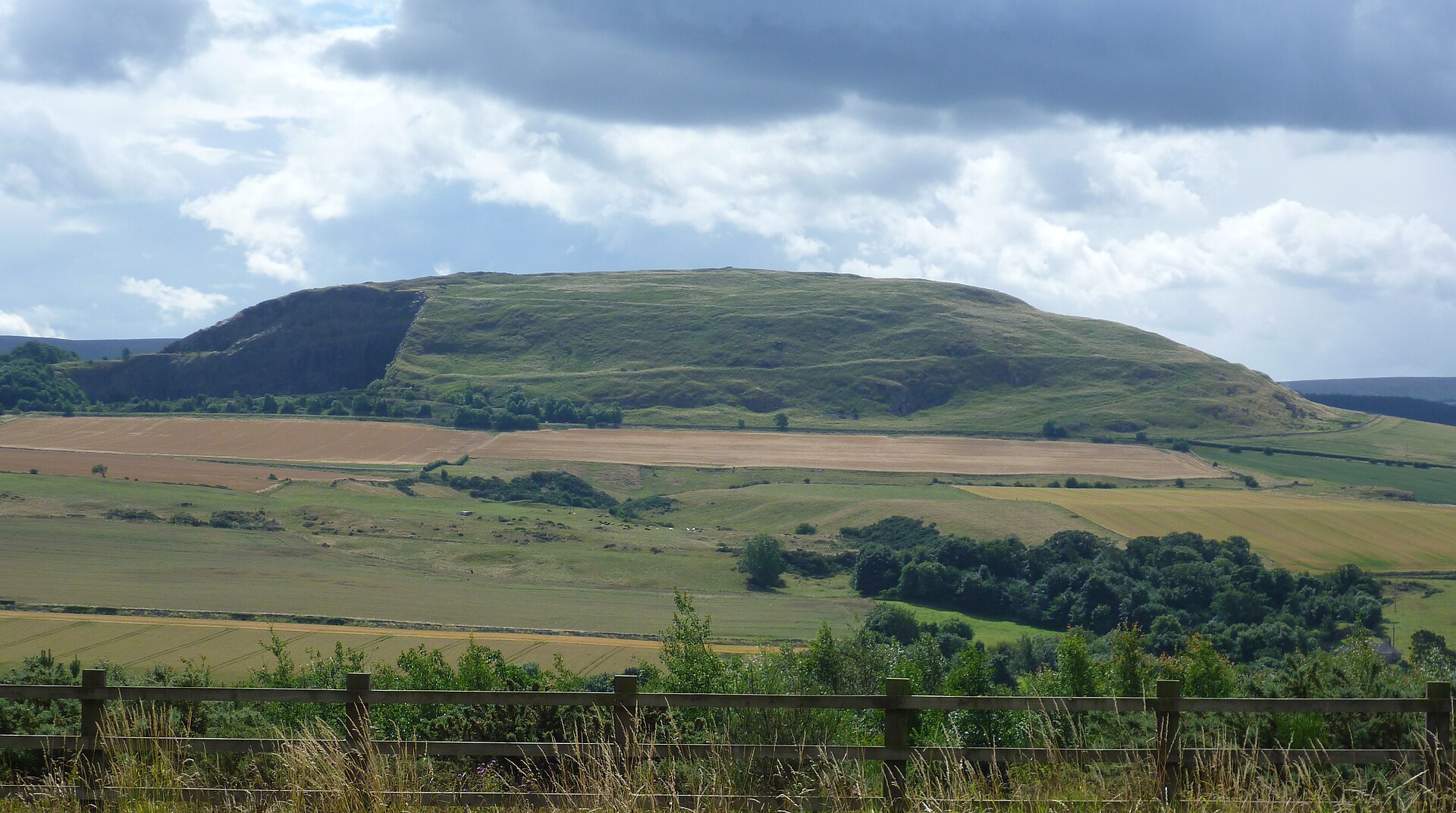
Settlement · Prehistoric
Traprain Law
East Lothian
The hill was already a place of burial by around 1500 BC and shows evidence of occupation and ramparts after 1000 BC; the ramparts were rebuilt and…
- Near East Linton
- 25 min walk from car park
- Some walking
Questions people ask
- What is Chesters Hill Fort?
- An Iron Age hillfort in East Lothian, Scotland, enclosing a settlement of around twenty roundhouses within a system of ramparts and ditches.
- Where is Chesters Hill Fort located?
- On the north-facing slope of the Drem hills, about a mile south of Drem village and a few miles from Haddington and Athelstaneford in East Lothian.
- Why is the site significant?
- Historic Environment Scotland describes it as one of the best-preserved examples in Scotland of an Iron Age fort, with clearly surviving ramparts and roundhouse platforms.
- Where does the name 'Chesters' come from?
- It derives from the Latin castra, meaning a fortified place, a term long applied to old earthwork and defensive sites across Britain.
- Who cares for Chesters Hill Fort today?
- It is in the care of Historic Environment Scotland, and it has also been the subject of a detailed survey by Rampart Scotland.
Sources
- Wikipedia: Chesters Hill Fort
- Wikidata: Chesters Hill Fort
- Historic Environment Scotland
Explore more: Fortified places · Iron Age · East Lothian
The Ancient Codex, in your pocket
Get the Pocket Codex app
Carry the directory with you — Chesters Hill Fort and thousands of ancient places across Britain and Ireland, offline, wherever you roam.