
Wilderness Plantation is an Antonine Wall interval fortlet identified from the air and excavated in the 1960s, helping show how the frontier was staffed between larger forts.
At Wilderness Plantation, the Antonine Wall’s network appears as a small interval fortlet rather than a grand fort. Its discovery began with aerial photography, then excavation, illustrating how traces too faint for the ground can reshape understanding of Rome’s frontier design.
Between Balmuildy and Cadder, the fortlet belonged to the River Kelvin and canal corridor. With no inscriptions and virtually no diagnostic finds, its importance lies in its position within the Wall’s repeating pattern of control.
What follows is drawn from published sources, with each claim labelled by how firmly it is established.
History
Wilderness Plantation was the site of a Roman fortlet on the Antonine Wall. Here the Wall runs roughly parallel with the River Kelvin to the north and the Forth and Clyde Canal to the south. The neighbouring larger forts are Balmuildy to the west and Cadder to the east, locating the fortlet within a densely organised frontier corridor.
Aerial photography first identified the site, with the discovery reported in October 1965. Wilkes excavated during that year and the next, supporting the description ‘interval fortlet’ for this small installation and similar sites such as Duntocher and Glasgow Bridge. The evidence therefore helped define the rhythm of minor installations along the Wall.
No coinage or inscriptions have been recovered from the fortlet, although a single coin was picked up at Wilderness West. This thin artefact record limits claims about its garrison and daily activity. Its value lies primarily in the confirmed archaeological location and its relationship to the adjacent forts and frontier line.
People
-
Wilkes
Excavated the fortlet in 1965–66 after its identification from aerial photographs.
Cultural influences
-
The Wall followed the Kelvin-to-canal corridor here, using small interval fortlets to bridge the distance between the larger forts at Balmuildy and Cadder.
Connections
-
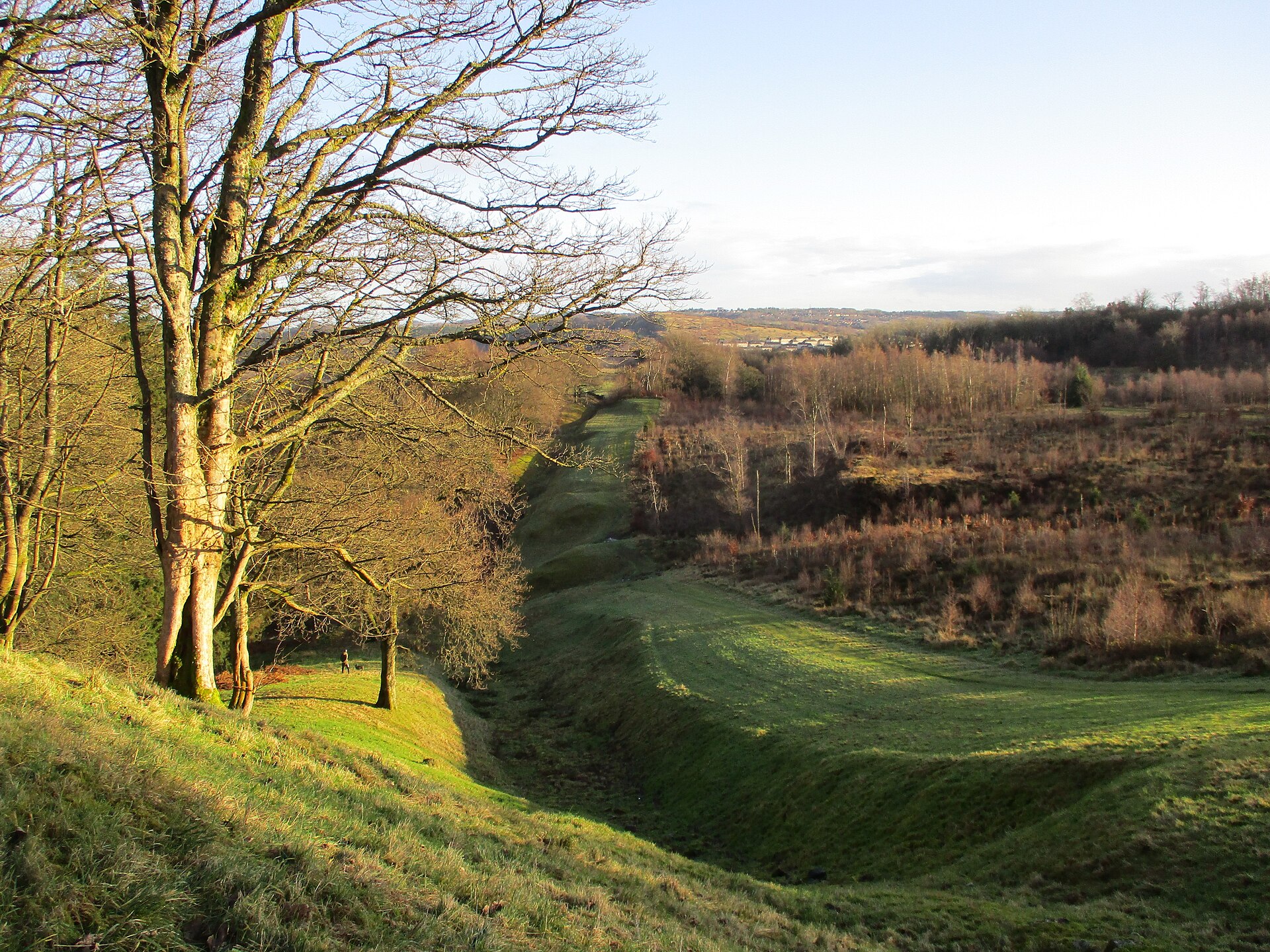
Photo: Alan O'Dowd / Wikimedia Commons / CC BY-SA 2.0 The Wilderness Plantation fortlet lay between Balmuildy and Cadder in the Antonine Wall’s River Kelvin corridor, helping to bridge the distance between larger frontier forts.
Discovery & excavation
Aerial photography identified the fortlet in 1965 and excavation confirmed a small interval installation beside the Antonine Wall.
What to look for
-
The Kelvin corridor
Read the route between the River Kelvin and Forth and Clyde Canal, where the Antonine Wall followed a narrow, heavily organised transport corridor.
-
The gap between forts
Consider the gap between Balmuildy and Cadder, which the Wilderness Plantation interval fortlet helped to monitor along the Wall.
-
A site seen from the air
The fortlet was first recognised in aerial photographs in 1965, a reminder that its buried layout is more legible from above than on foot.
-
The interval fortlet
This was a small interval fortlet, not a major garrison fort: its significance lies in spacing and communication between larger installations.
Plan your visit
- Location
- 55.9215°N · 4.2452°W
- Nearest settlement
- Kirkintilloch
- Access
- Open access
- Terrain
- Moderate walking
- Time needed
- About 45 minutes
- What survives
- The fortlet is an archaeological site in the Kelvin-to-canal corridor; its significance lies in the buried Wall alignment between the neighbouring forts.
Opening & admission
The fortlet is known through aerial photography and excavation; no public admission arrangement is recorded, so confirm current local access conditions before travelling.
- The Wall line runs between the River Kelvin and the Forth and Clyde Canal.
- No inscriptions or coins from the fortlet are recorded in the record.
Nearby places
Fortified place · Roman
Balmuildy
East Dunbartonshire
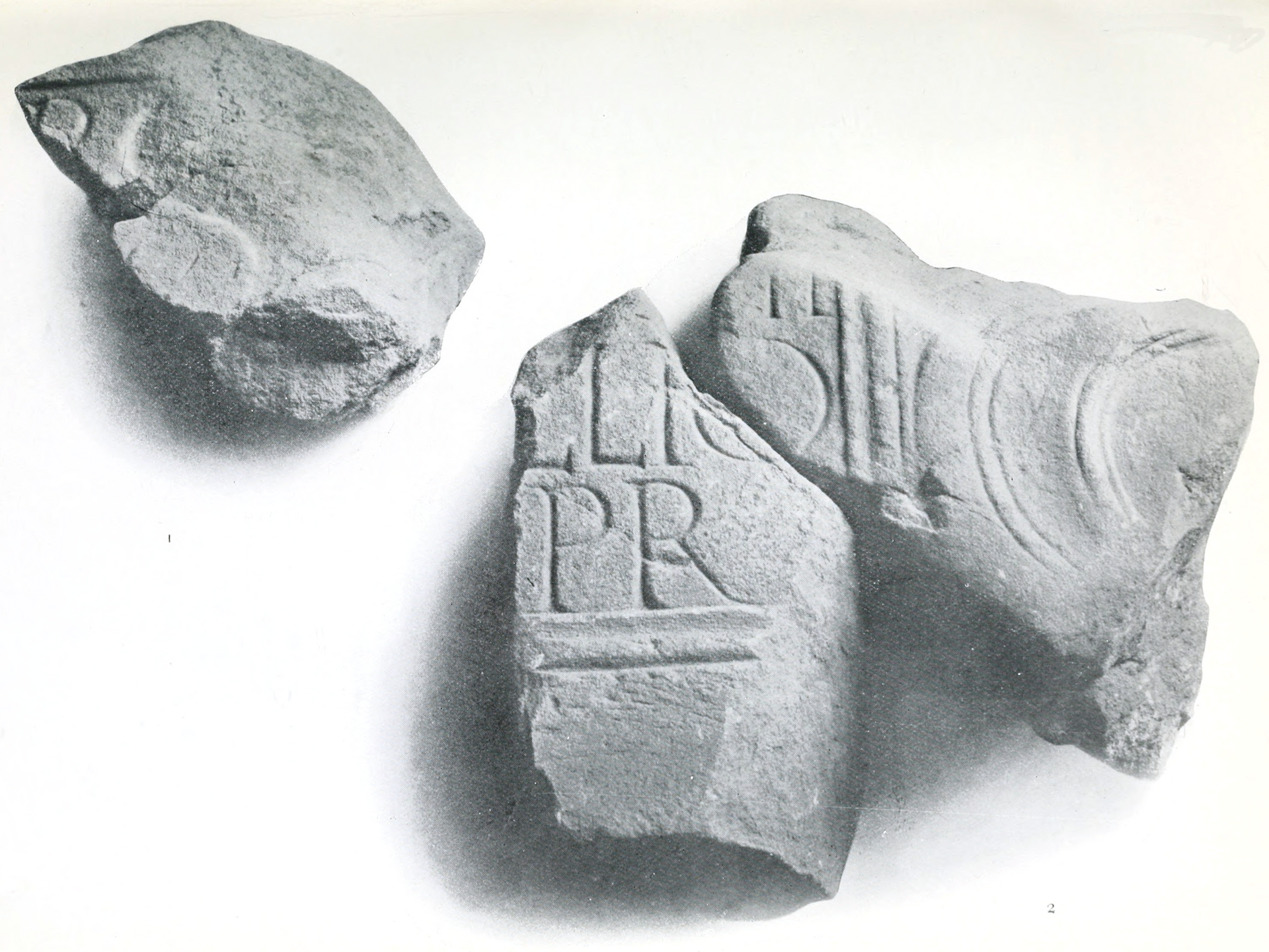
Balmuildy is one of only two Antonine Wall forts known to have stone ramparts, with excavated baths, inscriptions and objects now held in Glasgow’s…
- Near Bearsden
- Some walking

Fortified place · Roman
Cadder
East Dunbartonshire
Cadder’s quarried-away fort survives through excavated headquarters, granaries and baths, preserving the evidence of a substantial Antonine Wall ga…
- Near Bishopbriggs
- Easy path
Crossing or structure · Roman
Glasgow Bridge, Kirkintilloch
East Dunbartonshire
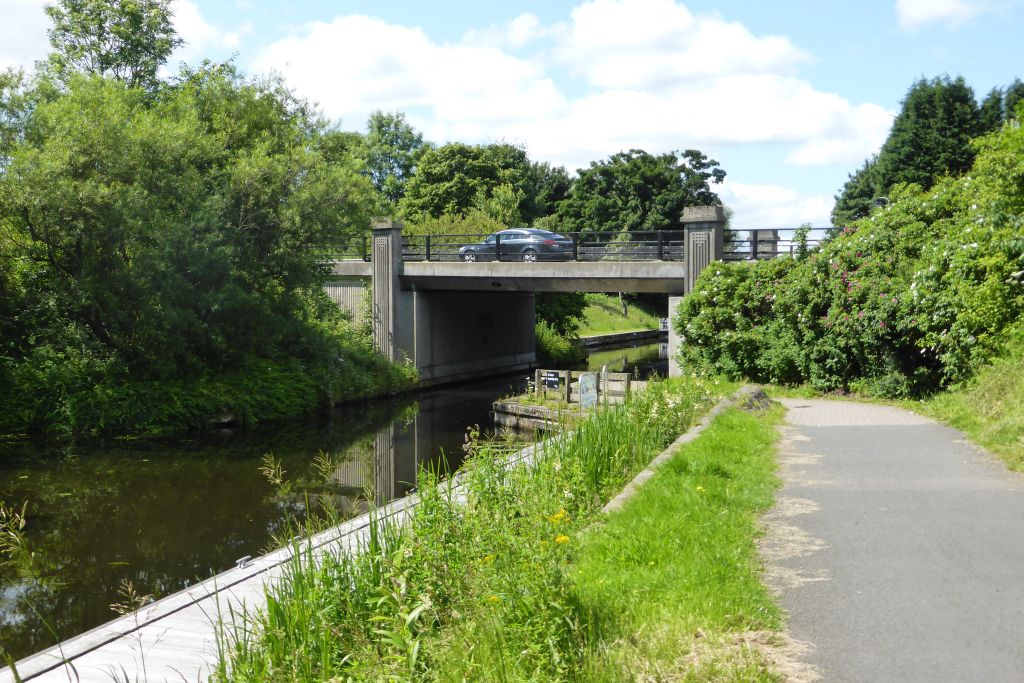
Glasgow Bridge marks a largely invisible Antonine Wall fortlet known through aerial evidence, beside a canal crossing that now connects Kirkintillo…
- Near Kirkintilloch
- Easy path
Fortified place · Roman
Bearsden Roman Bath House
East Dunbartonshire
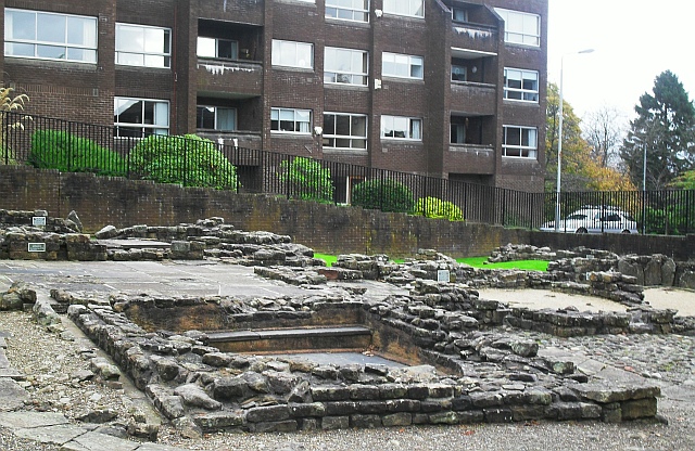
The Romans built a stone-and-turf fortification, the Antonine Wall, between the Firth of Clyde and the Firth of Forth between AD 142 and 144 under…
- Near Bearsden
- 3 min walk from car park
Questions people ask
- How was Wilderness Plantation found?
- It was identified by aerial photography, reported in October 1965, before excavation in 1965–66.
- What kind of site was it?
- It was an Antonine Wall interval fortlet between the larger forts of Balmuildy and Cadder.
- What finds are known from the site?
- No inscriptions or coinage are recorded from the fortlet itself, though one coin came from Wilderness West.
Sources
The Ancient Codex, in your pocket
Get the Pocket Codex app
Carry the directory with you — Wilderness Plantation and thousands of ancient places across Britain and Ireland, offline, wherever you roam.