
Cadder’s quarried-away fort survives through excavated headquarters, granaries and baths, preserving the evidence of a substantial Antonine Wall garrison after its fabric vanished.
No Roman masonry now rises at Cadder: sand and gravel quarrying removed the last visible trace by 1945. Beneath the lost surface, excavation recorded a fort about 120 metres by 113 metres, with the Antonine Wall forming its northern defence.
The fort was first noticed by Horsley in 1732, tested by excavation in 1913 and examined in detail in 1929. Stone headquarters, granaries and a bath-house stood among timber barracks and other buildings inside the ramparts.
Cadder’s buried archaeology records military occupation on the Antonine frontier. Although the fort has been destroyed as a visible monument, finds and excavation records preserve the scale and organisation of the Roman settlement.
What follows is drawn from published sources, with each claim labelled by how firmly it is established.
History
The Roman fort at Cadder was first noticed by Horsley in 1732. A trial excavation followed in 1913, and the Glasgow Archaeological Society examined the site in detail in 1929. These investigations produced the record from which the fort can still be understood, despite the later loss of its visible remains. The fort measured about 120 metres by 113 metres over its rampart, covering approximately 1.4 hectares. The Antonine Wall and its ditch formed the northern defence, while ditches protected the southern and eastern sides. This layout made the fort an integrated element of the frontier rather than an isolated enclosure beside it.
Excavation identified stone internal buildings including the headquarters, granaries and bath-house, as well as timber barracks and other structures. The bath-house was altered and later put to another, unknown use. Together these traces indicate both the administrative and domestic arrangements of the garrison, even where the buildings themselves have vanished.
By 1945 sand and gravel quarrying had removed the last trace of Roman structures. Material from the site is held by the National Museum of Antiquities of Scotland and the Hunterian Museum in Glasgow. The collections and excavation records therefore carry the evidential burden once carried by the fort’s surface remains.
People
-
John Horsley
First noted the Roman fort at Cadder in 1732, beginning the recorded sequence of antiquarian attention to the site.
Cultural influences
-
The Antonine Wall and its ditch formed Cadder’s northern side, while extra ditches guarded its southern and eastern approaches.
Connections
-
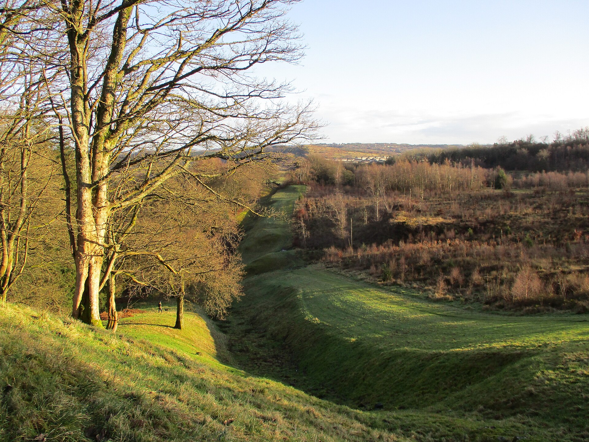
Photo: Alan O'Dowd / Wikimedia Commons / CC BY-SA 2.0 Cadder was one of the forts integrated into the Antonine Wall frontier, whose rampart and ditch formed its northern defence.
-
Photo: Ham / Wikimedia Commons / CC BY-SA 3.0 Hunterian Museum, Glasgow
Excavated material from the demolished fort is held at Glasgow’s Hunterian Museum, where it preserves evidence no longer visible at Cadder.
Discovery & excavation
Excavation recovered the plan of headquarters, granaries, bath-house and barracks before sand and gravel quarrying removed the last surface traces by 1945.
What to look for
-
Fort plan
The approximate 120-by-113-metre fort plan and its internal buildings are known from excavation records.
Plan your visit
- Location
- 55.8983°N · 4.2758°W
- Nearest settlement
- Bishopbriggs
- Terrain
- Easy going
- Time needed
- About 45 minutes
- What survives
- No Roman structures remain above ground after quarrying; the 120-by-113-metre fort plan is preserved through excavation records and museum collections.
Opening & admission
The fort is a surviving archaeological site in a modern neighbourhood; there is no admission arrangement in this record, so confirm local access conditions before travelling.
- The site lies within a modern neighbourhood; the visible setting should be interpreted alongside the archaeological record.
Nearby places
Fortified place · Roman
Balmuildy
East Dunbartonshire
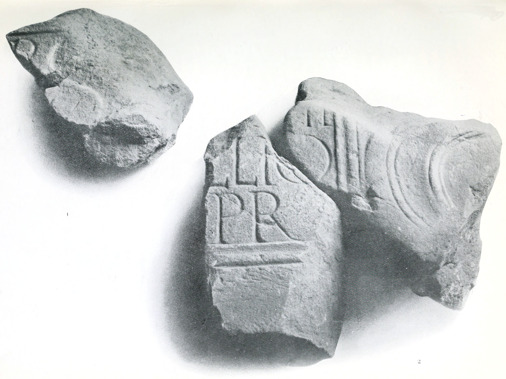
Balmuildy is one of only two Antonine Wall forts known to have stone ramparts, with excavated baths, inscriptions and objects now held in Glasgow’s…
- Near Bearsden
- Some walking
Fortified place · Roman
Wilderness Plantation
East Dunbartonshire
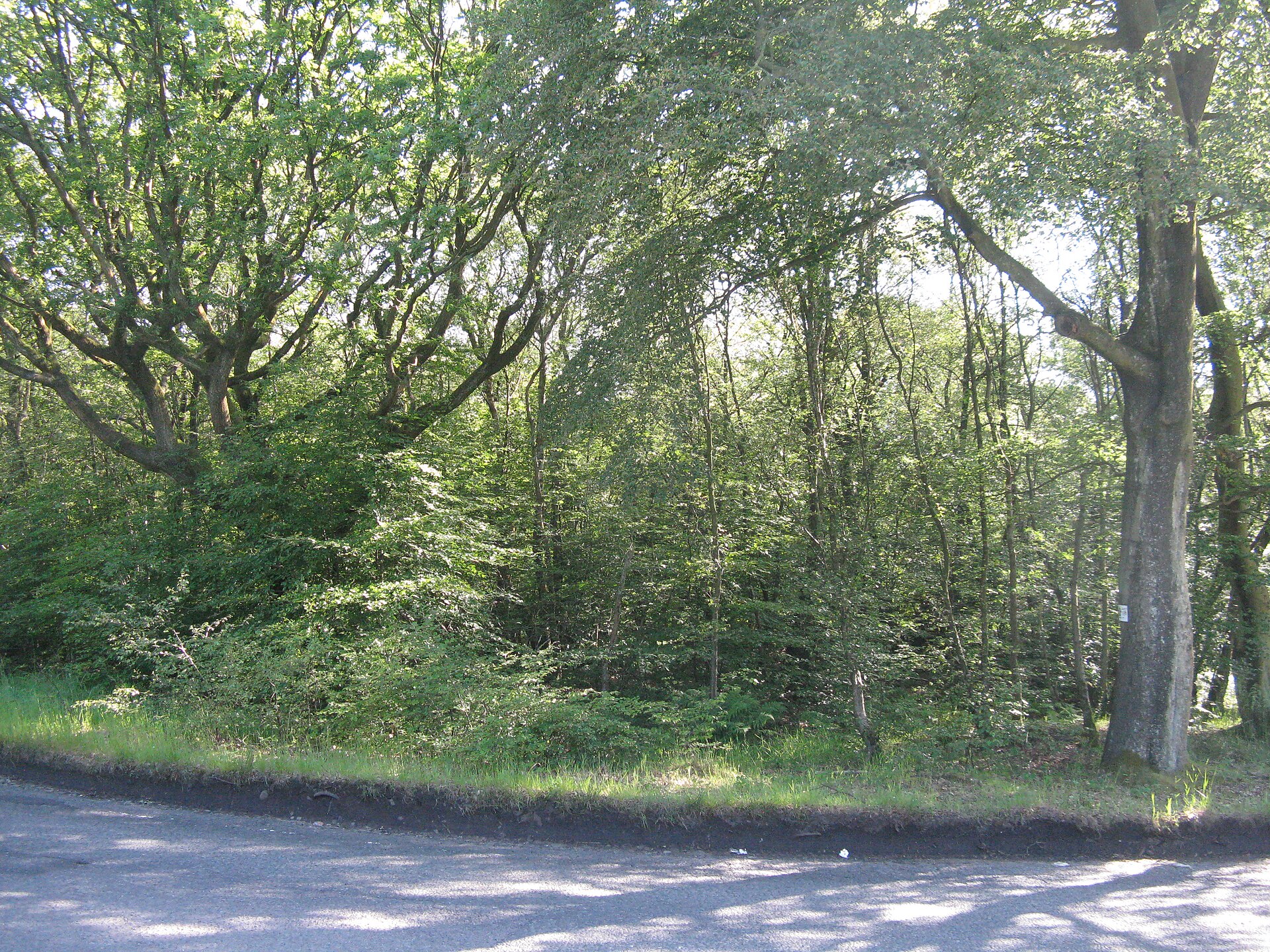
Wilderness Plantation is an Antonine Wall interval fortlet identified from the air and excavated in the 1960s, helping show how the frontier was st…
- Near Kirkintilloch
- Some walking
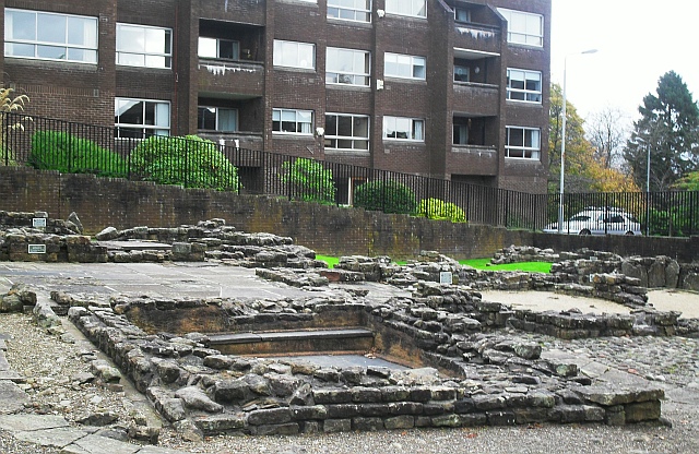
Fortified place · Roman
Bearsden Roman Bath House
East Dunbartonshire
The Romans built a stone-and-turf fortification, the Antonine Wall, between the Firth of Clyde and the Firth of Forth between AD 142 and 144 under…
- Near Bearsden
- 3 min walk from car park
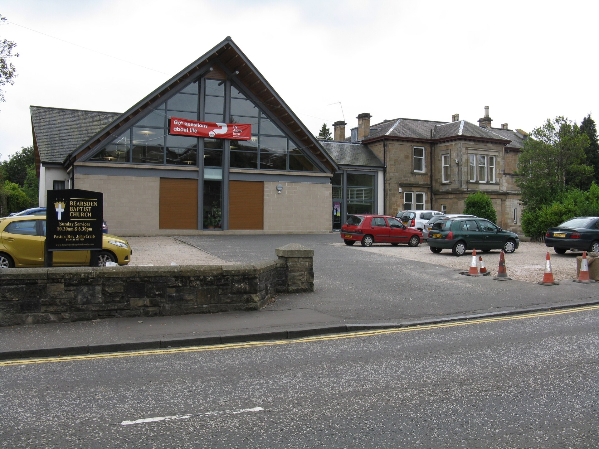
Fortified place · Roman
Bearsden Roman fort
East Dunbartonshire
Bearsden preserves one of the Antonine Wall’s best-known military bathhouses, discovered beneath twentieth-century housing and now protected close…
- Near Bearsden
- Easy path
Questions people ask
- What was Cadder?
- It was a Roman fort on the Antonine Wall.
- How large was it?
- The fort measured approximately 120 by 113 metres over its rampart.
- What happened to the remains?
- Quarrying removed the last visible Roman structures by 1945.
Sources
The Ancient Codex, in your pocket
Get the Pocket Codex app
Carry the directory with you — Cadder and thousands of ancient places across Britain and Ireland, offline, wherever you roam.