
Bearsden preserves one of the Antonine Wall’s best-known military bathhouses, discovered beneath twentieth-century housing and now protected close to the town centre.
It took a housing development to prove what lies under this comfortable Glasgow suburb. In 1973 builders sinking foundations went straight through the walls of a Roman bath-house that had been under the turf since the middle of the second century. Rather than concrete it over, the developers handed the ground to the nation, and what was uncovered turned out to be unusually complete.
The first settlement of any kind on this ground was a small army post of about two and a half acres. It was placed at a crossroads, where the frontier’s lateral road met the old way running north from Glasgow towards Loch Lomond — a junction that still determines how traffic moves through the town, seventeen centuries after the garrison left. The frontier itself was carried across the country from one firth to the other under Antoninus Pius, and Bearsden sat on the line of it.
That arrangement did not last. Within about twenty years the army had gone back to the older boundary further south, and the whole Scottish frontier was given up. The fort has since vanished almost entirely.
What is left is legible in two places. The bath-house survives about 150 metres from the town centre, and two stretches of stone foundation from the frontier itself lie in New Kilpatrick Cemetery on Boclair Road. Neither is dramatic. Both are the sort of thing a person can walk past on the way to the shops without noticing that the ground under them was, for two decades, the northern edge of the Roman world.
What follows is drawn from published sources, with each claim labelled by how firmly it is established.
History
Modern Bearsden sits on top of a Roman frontier. The first settlement anywhere on this ground was an army post of about two and a half acres, put up in the second century when the empire briefly moved its northern boundary out of England and into central Scotland. The post stood at a crossroads. The lateral road serving the new frontier met the north-south route between Glasgow and Loch Lomond at this point, and a garrison was placed where the two crossed. That junction is the reason a settlement exists here at all, and it still shapes the road pattern of the suburb.
The whole northern experiment lasted about twenty years. By AD 164 the army had pulled back to the older line across northern England, and the fort at Bearsden was abandoned along with everything else on the Scottish frontier — an unusually short life for a permanent military installation. Almost nothing of the fort survives above ground. What makes the town's Roman past visible is a bath-house that builders cut into in 1973 while digging housing foundations, and which was given to the nation instead of being built over.
Two lengths of the frontier's stone foundation can also be seen, in New Kilpatrick Cemetery on Boclair Road. Between the cemetery and the bath-house, a suburb of Glasgow holds two fixed points of a Roman frontier inside its ordinary street plan.
People
-
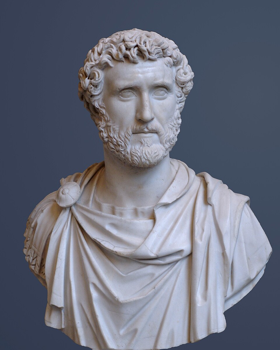
Portrait: Unknown artist / Wikimedia Commons / Public domain Antoninus Pius
Bearsden lay on the Antonine Wall, the northern frontier advanced across Britain under Antoninus Pius and served by the fort’s roadside position.
Cultural influences
-
A junction between the Military Way and the Glasgow–Loch Lomond route made Bearsden a useful frontier post, and still shapes the suburb’s road pattern.
Connections
-
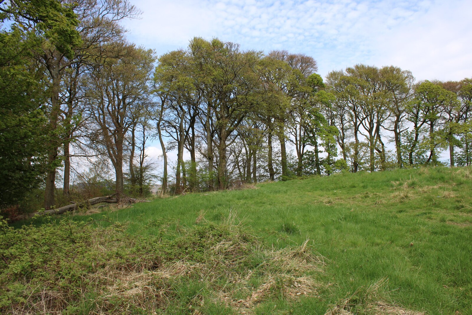
Photo: Richard Sutcliffe / Wikimedia Commons / CC BY-SA 2.0 Another Antonine Wall fort, allowing comparison with Bearsden’s military remains and frontier setting.
-
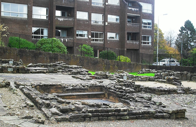
Photo: Lindsay Robertson / Wikimedia Commons / CC BY-SA 2.0 The bath house is the clearest surviving companion to Bearsden’s fort, preserving evidence of the bathing and social life of its garrison.
-
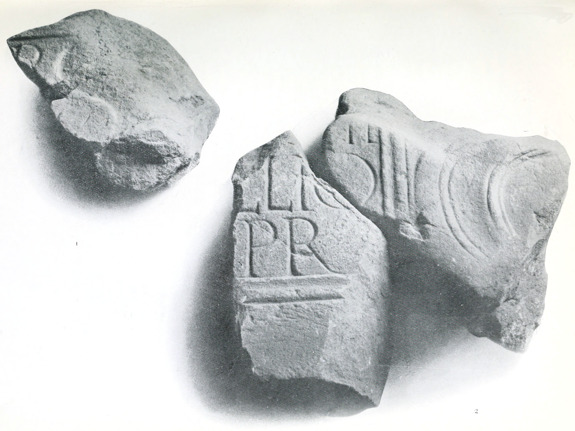
Photo: John Annan / Wikimedia Commons / Public domain A neighbouring Antonine Wall fort that places Bearsden within the chain of Roman installations across central Scotland.
Discovery & excavation
Housing foundations uncovered the Roman bath-house in 1973; two lengths of the Wall’s stone base remain visible in New Kilpatrick Cemetery.
What to look for
-
The bathhouse
The preserved bath-house was uncovered during 1973 housing works and saved from redevelopment, making it the clearest surviving evidence of Bearsden’s garrison.
-
The Wall in the cemetery
Two lengths of the Wall’s stone foundation survive in New Kilpatrick Cemetery on Boclair Road, fixing the Roman frontier within the modern suburb.
-
The road junction
The fort stood where the Military Way met the Glasgow–Loch Lomond route, a crossroads that explains both the garrison’s position and today’s road pattern.
-
Rome in the suburb
Bearsden turns a Roman frontier into an ordinary suburb: the bath-house and cemetery foundations are surviving fixed points amid streets and housing.
Plan your visit
- Location
- 55.9193°N · 4.3291°W
- Nearest settlement
- Bearsden
- Access
- Open access
- Terrain
- Easy going
- Time needed
- About 45 minutes
- What survives
- The fort itself has gone beneath the suburb, but the preserved bath-house and cemetery Wall foundations make its Roman setting visible.
Opening & admission
The Roman bath house remains are visible near the town centre; confirm current opening arrangements with the managing body before travelling.
- The bath house was discovered in 1973.
- Two stretches of Wall base can be seen in New Kilpatrick Cemetery.
Nearby places
Fortified place · Roman
Bearsden Roman Bath House
East Dunbartonshire
The Romans built a stone-and-turf fortification, the Antonine Wall, between the Firth of Clyde and the Firth of Forth between AD 142 and 144 under…
- Near Bearsden
- 3 min walk from car park
Fortified place · Roman
Castlehill Fort
East Dunbartonshire
Castlehill marks an Antonine Wall fort whose surviving plantation masks important Sixth Legion distance slabs and evidence for the frontier’s const…
- Near Bearsden
- Some walking
Fortified place · Roman
Balmuildy
East Dunbartonshire
Balmuildy is one of only two Antonine Wall forts known to have stone ramparts, with excavated baths, inscriptions and objects now held in Glasgow’s…
- Near Bearsden
- Some walking
Fortified place · Roman
Cleddans
East Dunbartonshire
Cleddans confirms the Antonine Wall’s system of small interval fortlets, while its richly carved legionary slabs record the construction and imager…
- Near Duntocher
- Some walking
The setting
Bearsden Baptist Church beside the fort area; retained as contextual modern-town imagery.
Photo: Richard Sutcliffe / Wikimedia Commons / CC BY-SA 2.0
Questions people ask
- When was the Bearsden bathhouse discovered?
- Builders discovered it in 1973 while digging housing foundations.
- How long did the Roman fort operate?
- The Romans withdrew to Hadrian’s Wall in AD 164, after about 20 years.
- Where can Wall remains be seen?
- Two stretches of stone base are visible in New Kilpatrick Cemetery on Boclair Road.
Sources
The Ancient Codex, in your pocket
Get the Pocket Codex app
Carry the directory with you — Bearsden Roman fort and thousands of ancient places across Britain and Ireland, offline, wherever you roam.