
Cleddans confirms the Antonine Wall’s system of small interval fortlets, while its richly carved legionary slabs record the construction and imagery of Rome’s northern frontier.
Trial trenches at Cleddans revealed a small Roman fortlet where the Wall ran between the larger forts of Duntocher and Castlehill. Its compact rampart (a defensive bank of earth or stone) was modest in scale, but it helped demonstrate that the frontier was punctuated by fortlets at roughly Roman-mile intervals.
Nearby carved slabs add a more ceremonial dimension: boars, Victories, Mars and imperial inscriptions advertise the legions that built the Wall. The site survives chiefly through these discoveries rather than through dramatic standing remains.
The fortlet was located by trial trenching in 1980, south of the main road between Duntocher and Bearsden. Hutcheson Hill lies halfway between the known forts of Duntocher to the west and Castlehill to the east, with a line of sight to both, so it had been surmised that an intermediate work might stand there. The discovery seemed to strengthen the proposal that the Antonine Wall was designed with fortlets at every Roman mile. The fort measures internally 18 metres east to west by 17.6 north to south, within a rampart set on a stone base 3.6 metres wide.
The fortlet went up somewhere in the twelve years after AD 142, on the order of an emperor who never set foot in the province. Antoninus Pius directed the whole northern advance from Rome, and the work here was begun under Quintus Lollius Urbicus as governor. Cleddans was one link in a chain of forts and fortlets strung along the barrier, with the lateral road behind them carrying troops from one to the next. What pushed the empire this far north in the first place was most likely pressure from the Caledonians.
Eight years after the barrier was finished the army walked away from it and went back to the older line in England. Septimius Severus put legions on it again in 208 and ordered repairs — the reason the barrier is occasionally given his name instead — but that second occupation lasted only a few years, and nothing was ever held here afterwards.
A garrison of some five hundred was normal along this frontier, with a nominal thousand at the biggest posts. Soldiers were forbidden to marry, which did not stop women and children living at the larger forts, and civilian settlement grew up around them regardless.
Finds include three or four Roman tablets. One, showing a running boar — the emblem of the Twentieth Legion — was discovered in 1695 at Cochno House and is now in the Hunterian Museum in Glasgow. Evidence of building work on the fortlet and on the wall by units of both the Sixth and the Twentieth legions has been found in the area.
What follows is drawn from published sources, with each claim labelled by how firmly it is established.
History
Cleddans is a Roman fortlet on the Antonine Wall, confirmed by trial trenching in 1979–80 south of the road between Duntocher and Bearsden. The internal area measured about 18 by 17.6 metres within a rampart on a 3.6-metre-wide stone base. Its discovery strengthened the proposal that fortlets occurred at roughly Roman-mile intervals.
The fortlet was built between AD 142 and 154 under Antoninus Pius, within the chain supported by the Military Way. The Wall was abandoned about eight years after completion and briefly repaired under Septimius Severus from AD 208 before final abandonment. Evidence associates both the Sixth and Twentieth Legions with building work in the Cleddans area.
Several sculptured tablets came from the area, including a running boar emblem of the Twentieth Legion and the Braidfield Farm slab with winged Victories, Mars and Virtus. Another tablet from Hutcheson Hill showed a boar and palm tree but was lost in the Chicago fire of 1871; the Hunterian Museum retains a plaster cast. The inscriptions date to AD 139–161.
People
-
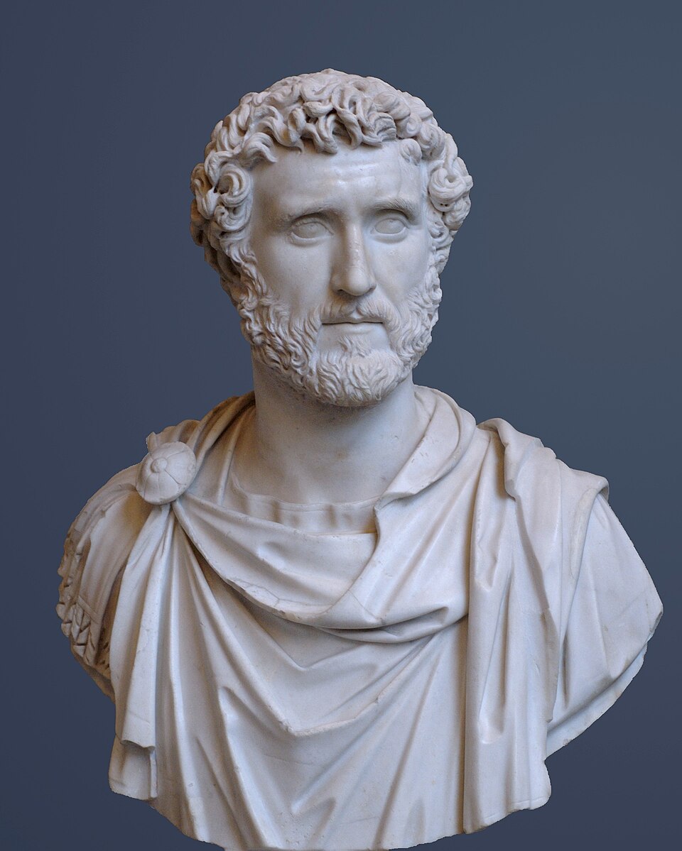
Portrait: Unknown artist / Wikimedia Commons / Public domain Antoninus Pius
Roman emperor during whose reign the Antonine Wall advance built Cleddans as an interval fortlet between AD 142 and 154.
-
Septimius Severus
Roman emperor whose forces briefly repaired the Antonine Wall from AD 208 before its final abandonment.
-
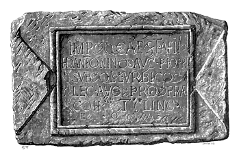
Portrait: Unknown author / Wikimedia Commons / Public domain Quintus Lollius Urbicus
As governor, Quintus Lollius Urbicus began the Antonine advance that built Cleddans as a fortlet in the chain supported by the Military Way.
Cultural influences
-
Cleddans occupied a Roman-mile interval in the Antonine Wall chain, providing a small post between the larger forts of Castlehill and Bearsden.
Connections
-
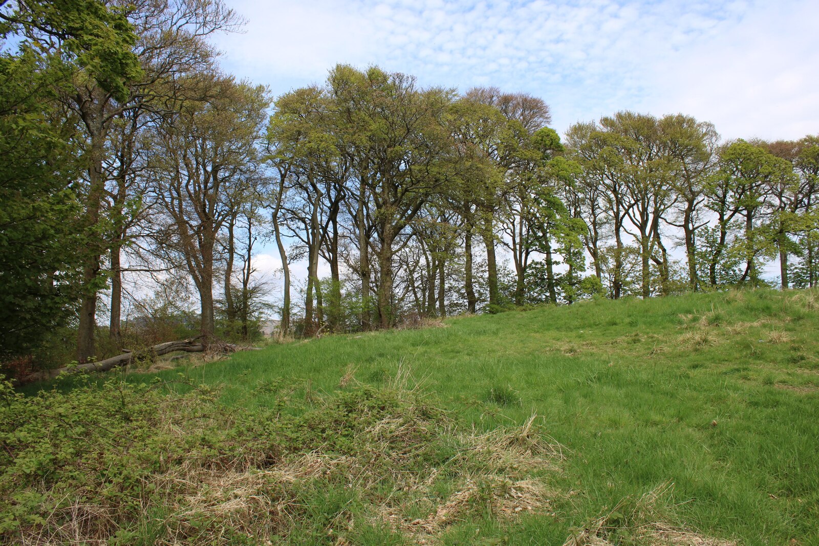
Photo: Richard Sutcliffe / Wikimedia Commons / CC BY-SA 2.0 Castlehill, a larger Antonine Wall fort to the west, shows how Cleddans formed one small interval post in a connected military chain.
-
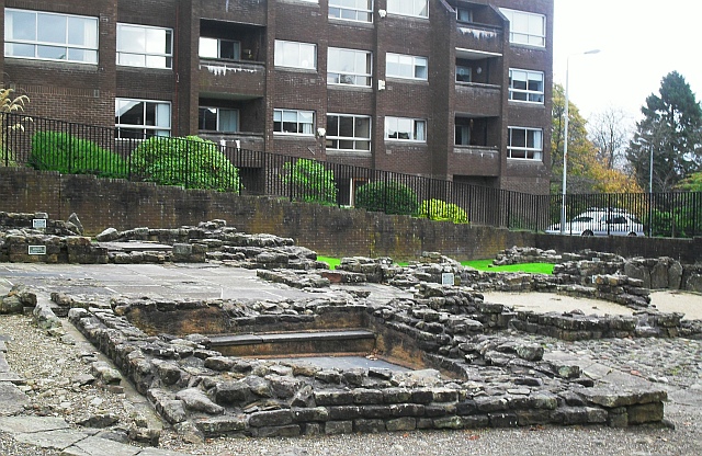
Photo: Lindsay Robertson / Wikimedia Commons / CC BY-SA 2.0 Bearsden is a larger Antonine Wall fort whose excavated remains provide a useful comparison for Cleddans’ much smaller fortlet role.
-

Photo: Lindsay Robertson / Wikimedia Commons / CC BY-SA 2.0 The Bearsden bath house preserves evidence of domestic life on the frontier, complementing Cleddans’ smaller military installation and its lost buildings.
Discovery & excavation
Trial trenching in 1979–80 confirmed the small fortlet within a rampart on a stone base, supporting the pattern of interval posts along the Wall.
What to look for
-
The fortlet footprint
South of the Duntocher–Bearsden road, the small fortlet footprint was confirmed by 1979–80 trenches rather than by standing Roman masonry.
-
The Wall alignment
Trace the Antonine Wall alignment between the larger forts at Castlehill and Bearsden, where Cleddans formed an interval post roughly a Roman mile apart.
-
The boar and Victory
Associated distance slabs preserve the boar emblem of the Twentieth Legion and Victory imagery, evidence for the frontier workforce and its ideology.
-
The rampart base
The fortlet’s rampart stood on a stone base about 3.6 metres wide, enclosing an internal area only about 18 by 17.6 metres.
Plan your visit
- Location
- 55.9202°N · 4.3887°W
- Nearest settlement
- Duntocher
- Access
- Open access
- Terrain
- Moderate walking
- Time needed
- About 45 minutes
- What survives
- The fortlet survives chiefly as a buried footprint south of the road, while associated sculptured tablets are preserved in museum collections.
Opening & admission
The fortlet is an archaeological site confirmed by trenching; no public admission arrangement is recorded, so confirm current local access conditions before travelling.
- Several tablets or casts are held by the Hunterian Museum.
- The site lies south of the main road between Duntocher and Bearsden.
Nearby places
Fortified place · Roman
Castlehill Fort
East Dunbartonshire
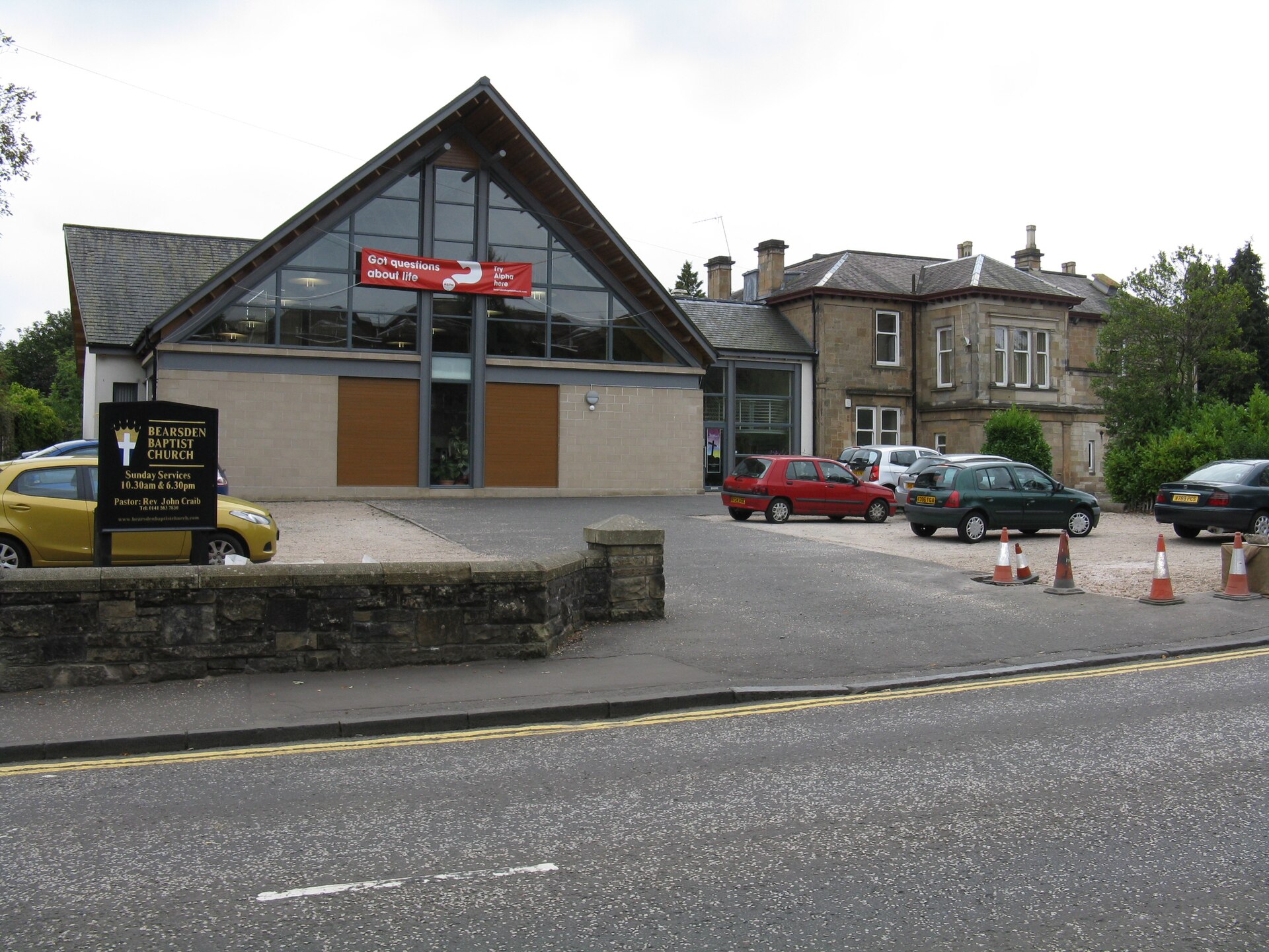
Castlehill marks an Antonine Wall fort whose surviving plantation masks important Sixth Legion distance slabs and evidence for the frontier’s const…
- Near Bearsden
- Some walking
Fortified place · Roman
Bearsden Roman fort
East Dunbartonshire
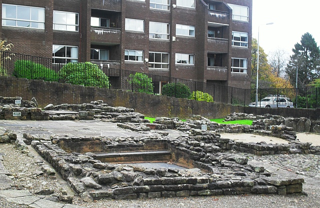
Bearsden preserves one of the Antonine Wall’s best-known military bathhouses, discovered beneath twentieth-century housing and now protected close…
- Near Bearsden
- Easy path
Fortified place · Roman
Bearsden Roman Bath House
East Dunbartonshire
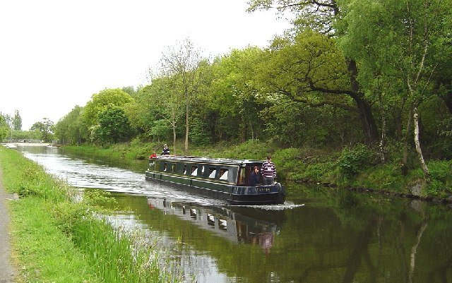
The Romans built a stone-and-turf fortification, the Antonine Wall, between the Firth of Clyde and the Firth of Forth between AD 142 and 144 under…
- Near Bearsden
- 3 min walk from car park
The setting
Grass-covered site of Cleddans Roman fortlet.
Photo: Lairich Rig / Wikimedia Commons / CC BY-SA 2.0
Questions people ask
- How was the fortlet found?
- By trial trenching in 1979 and 1980, south of the road between Duntocher and Bearsden.
- How big was it?
- The internal area measured about 18 by 17.6 metres within its rampart.
- When was it in use?
- Built between AD 142 and 154 under Antoninus Pius as part of the chain of posts served by the Military Way. The Wall was abandoned about eight years after completion and briefly repaired under Septimius Severus.
- What sculpture came from the area?
- A running boar, the emblem of the Twentieth Legion; the Braidfield Farm slab with winged Victories, Mars and Virtus; and a further tablet from Hutcheson Hill.
Sources
The Ancient Codex, in your pocket
Get the Pocket Codex app
Carry the directory with you — Cleddans and thousands of ancient places across Britain and Ireland, offline, wherever you roam.