
Balmuildy is one of only two Antonine Wall forts known to have stone ramparts, with excavated baths, inscriptions and objects now held in Glasgow’s Hunterian Museum.
Balmuildy stood between the River Kelvin and the Forth and Clyde Canal, in the corridor where the Antonine Wall crossed the northern edge of modern Glasgow. Unlike most Wall forts, it had stone ramparts, giving it a distinctive place in Rome’s short-lived northern frontier.
Excavation recovered altars, building inscriptions, bath-house fittings and everyday objects. Those finds turn a mostly buried fort into evidence for garrison routine, religious practice and the supply networks behind the Antonine advance.
The fort lies in Glasgow, west of Bishopbriggs and east of Bearsden, south of the River Kelvin and north of the Forth and Clyde Canal, just north-west of Easter Balmuildy Farm and so within Glasgow City Council’s boundaries, close to East Dunbartonshire. Its neighbouring forts are Bearsden to the west and Cadder to the east, with intermediate fortlets at Summerston and Wilderness Plantation between them.
It is one of only two forts on the Antonine Wall found to have had stone ramparts; the other is Castlecary. A digital reconstruction of the fort has been made.
Balmuildy was built between AD 142 and 154 on the order of Antoninus Pius, the work initially supervised by Quintus Lollius Urbicus, then governor of Roman Britain. It was one of sixteen forts raised to support the wall, with small fortlets between them and the road known as the Military Way linking the whole line for troop movement. Antoninus never came to Britain, unlike his predecessor Hadrian; pressure from the Caledonians may be what led him to push the empire’s troops further north.
The wall and this fort were abandoned only eight years after completion and the garrisons returned to Hadrian’s Wall. Septimius Severus re-established legions on the line in 208 and ordered repairs, which is why it is sometimes called the Severan Wall, but that occupation ended a few years later and the wall was never held again.
How many men held Balmuildy is not recorded. Along this frontier a unit of roughly five hundred was standard, and only a handful of posts were built for a nominal thousand. Marriage was closed to serving soldiers, which is not the same as saying that no families were present: at the bigger forts women and children were probably living alongside the troops, with civilian settlement collecting outside the walls.
What follows is drawn from published sources, with each claim labelled by how firmly it is established.
History
Balmuildy was one of sixteen forts supporting the Antonine Wall and one of only two known to have stone ramparts, the other being Castlecary. It lay south of the River Kelvin, between Bearsden and Cadder, with fortlets at Summerston and Wilderness Plantation. The Military Way linked the Wall’s installations and supported troop movement.
Construction took place between AD 142 and 154 under Antoninus Pius, initially supervised by governor Quintus Lollius Urbicus. The Wall and Balmuildy were abandoned only eight years after completion, with garrisons withdrawing to Hadrian’s Wall. Septimius Severus later ordered repairs in AD 208, but occupation ended again within a few years.
Excavation by Steuart Napier Miller documented the fort. Finds include an altar to Fortuna from a bath house, an altar to Mars, statues, Second Legion building inscriptions, bath-house drainpipe and tile fittings, pottery, a cheese press, oil lamp and surgical probe. The material is now in Glasgow’s Hunterian Museum.
People
-
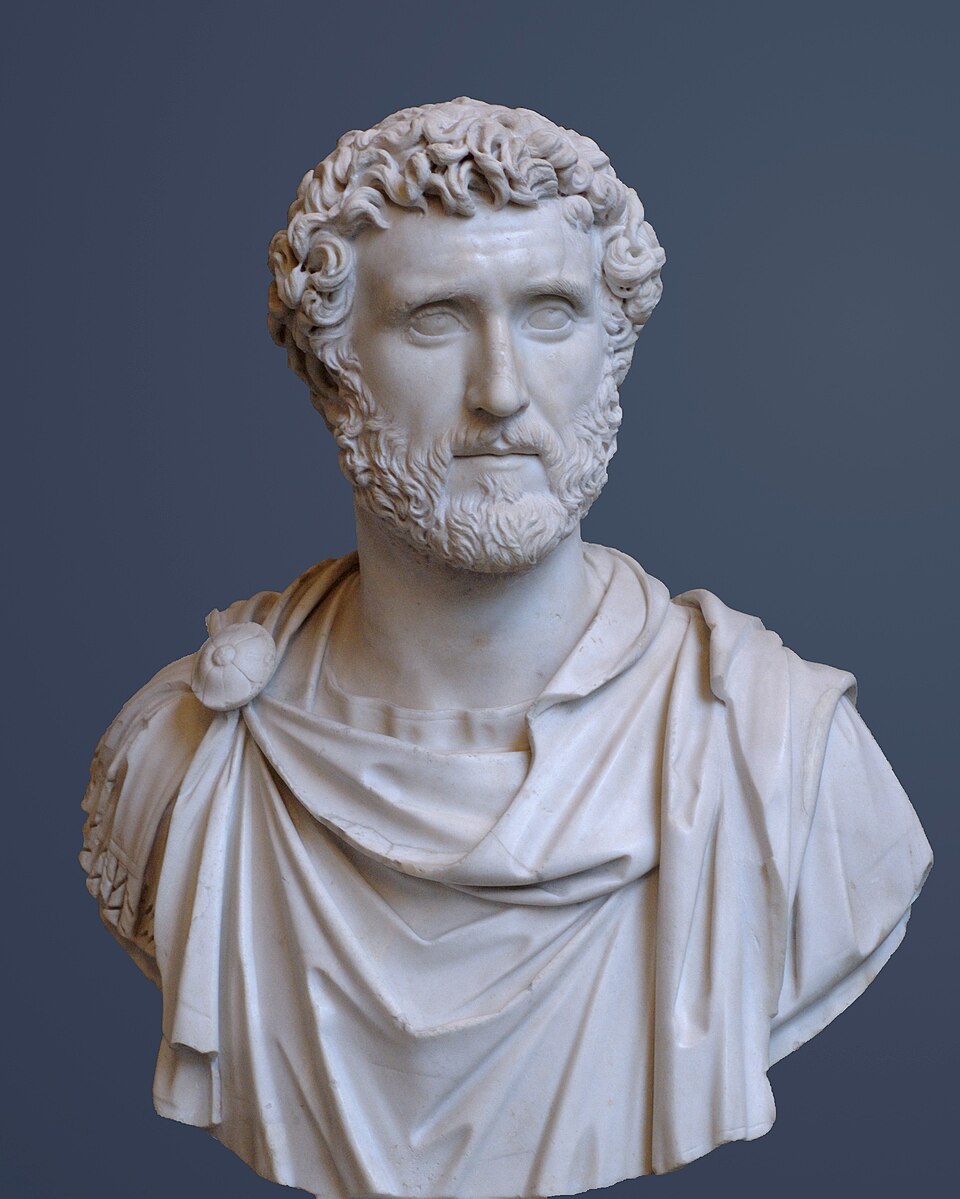
Portrait: Unknown artist / Wikimedia Commons / Public domain Antoninus Pius
Emperor under whom Balmuildy and the Antonine Wall were built between AD 142 and 154.
-
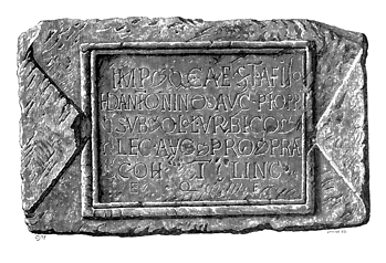
Portrait: Unknown author / Wikimedia Commons / Public domain Quintus Lollius Urbicus
Governor of Roman Britain who initially supervised construction of Balmuildy and the Antonine Wall frontier.
-
Steuart Napier Miller
Excavated and documented Balmuildy, recording its stone ramparts, bath-house fittings and major collection of garrison finds.
Cultural influences
-
Balmuildy’s position beside the Kelvin and Military Way made it a major link in the closely spaced forts and fortlets of the Antonine frontier.
Connections
-
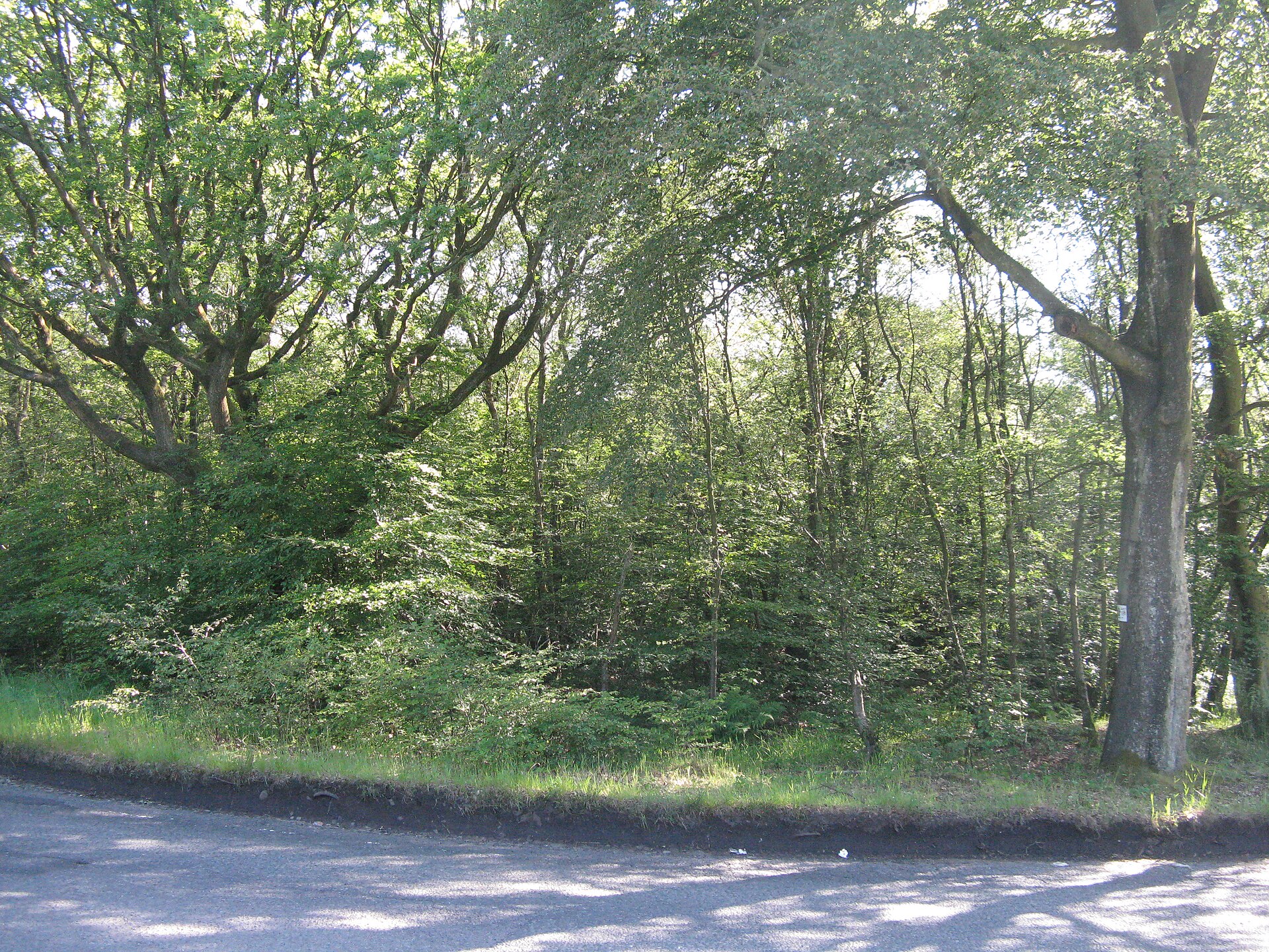
Photo: M J Richardson / Wikimedia Commons / CC BY-SA 2.0 A nearby Antonine Wall fort site that helps place Balmuildy within the chain of Roman military installations along the frontier.
-

Photo: Stephen Sweeney / Wikimedia Commons / CC BY-SA 2.0 Another Roman fort on the Antonine Wall, useful for comparing Balmuildy’s excavated remains and frontier function.
-
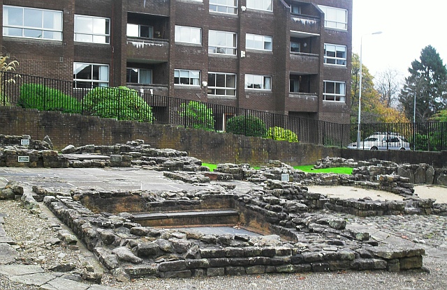
Photo: Lindsay Robertson / Wikimedia Commons / CC BY-SA 2.0 A preserved bath-house associated with the Antonine frontier, complementing Balmuildy’s evidence for the daily life of Roman troops.
Discovery & excavation
Excavation identified unusual stone ramparts, bath-house fittings and internal buildings; finds from the garrison are held in Glasgow’s Hunterian Museum.
What to look for
-
The position by the Kelvin
South of the River Kelvin, the fort lay between Bearsden and Cadder, with the Forth and Clyde Canal later cutting through the landscape.
-
The neighbouring forts
Balmuildy stood in a closely spaced frontier corridor, with fortlets at Summerston and Wilderness Plantation and the Military Way linking them.
-
The stone ramparts
One of only two known Antonine Wall forts with stone ramparts, Balmuildy shows an exceptional departure from the usual turf-and-earth frontier.
-
The Hunterian finds
The Hunterian Museum holds Miller’s bath-house and garrison finds, including Fortuna and Mars altars, Second Legion inscriptions and a surgical probe.
Plan your visit
- Location
- 55.9173°N · 4.2719°W
- Nearest settlement
- Bearsden
- Access
- Open access
- Terrain
- Moderate walking
- Time needed
- About 45 minutes
- What survives
- The fort’s form is mainly known from excavation; its riverside and canal corridor preserves the position between neighbouring Wall installations.
Opening & admission
The fort site is recorded as open, but no admission or ticketing arrangement is published in this record; confirm current local access conditions before travelling.
- The site lies near the River Kelvin and the Forth and Clyde Canal.
- Finds are held by the Hunterian Museum.
Nearby places
Fortified place · Roman
Wilderness Plantation
East Dunbartonshire
Wilderness Plantation is an Antonine Wall interval fortlet identified from the air and excavated in the 1960s, helping show how the frontier was st…
- Near Kirkintilloch
- Some walking
Fortified place · Roman
Cadder
East Dunbartonshire
Cadder’s quarried-away fort survives through excavated headquarters, granaries and baths, preserving the evidence of a substantial Antonine Wall ga…
- Near Bishopbriggs
- Easy path
Fortified place · Roman
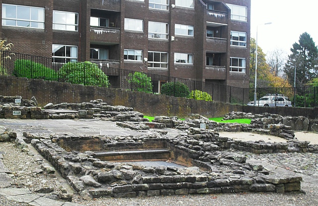
Bearsden Roman Bath House
East Dunbartonshire
The Romans built a stone-and-turf fortification, the Antonine Wall, between the Firth of Clyde and the Firth of Forth between AD 142 and 144 under…
- Near Bearsden
- 3 min walk from car park
Fortified place · Roman
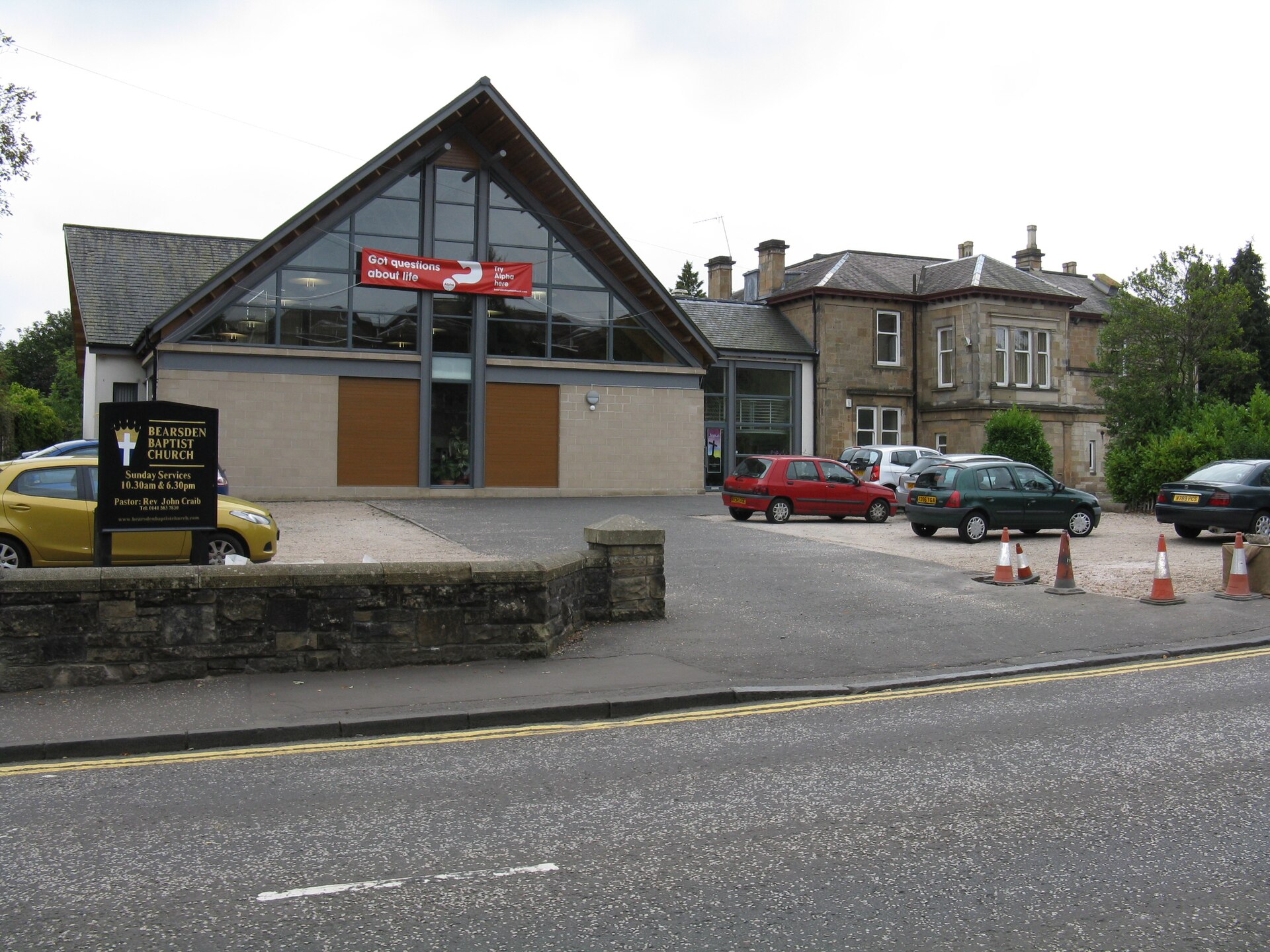
Bearsden Roman fort
East Dunbartonshire
Bearsden preserves one of the Antonine Wall’s best-known military bathhouses, discovered beneath twentieth-century housing and now protected close…
- Near Bearsden
- Easy path
The setting
Aerial view of Balmuildy Bridge and the former Roman-fort landscape.
Photo: Thomas Nugent / Wikimedia Commons / CC BY-SA 2.0
Questions people ask
- What was unusual about Balmuildy?
- It was one of only two forts on the Antonine Wall known to have stone ramparts. The other was Castlecary.
- When was it built?
- Between AD 142 and 154 under Antoninus Pius, initially supervised by the governor Quintus Lollius Urbicus.
- How long was it used?
- The Wall and the fort were abandoned only about eight years after completion.
- What was found there?
- An altar to Fortuna from a bath house, an altar to Mars, statues, building inscriptions of the Second Legion, and bath-house drainpipe and tile fittings, documented in Steuart Napier Miller's excavation.
Sources
The Ancient Codex, in your pocket
Get the Pocket Codex app
Carry the directory with you — Balmuildy and thousands of ancient places across Britain and Ireland, offline, wherever you roam.