
Glasgow Bridge marks a largely invisible Antonine Wall fortlet known through aerial evidence, beside a canal crossing that now connects Kirkintilloch and Cadder.
Just east of Glasgow Bridge, aerial photographs occasionally reveal the faint square trace of a Roman fortlet beside the Forth and Clyde Canal. Nothing identifiably Roman remains at ground level, making the view from above essential to understanding this stretch of frontier.
The modern swing bridge and A803 crossing have given the location a new transport role, but the Roman trace sits halfway between the forts at Kirkintilloch and Cadder. It is a small, carefully qualified reminder that the Wall’s line is often hidden rather than lost.
The fortlet stood on the Antonine Wall halfway between the Roman forts at Kirkintilloch and Cadder, just east of the bridge that carries the A803 over the Forth and Clyde Canal. Kirkintilloch lies east of the site and Low Moss to the south, and if one walks west the line of the Wall changes course beyond this point.
Nothing identifiably Roman can be seen on the ground any longer, and there have been no excavations to date. The fortlet can sometimes be made out in aerial photographs taken at various times since 1955, which have shown an area of about twenty metres square that could have been secured by a turf rampart with its ditch. It has been suggested that a bridge across the ditch gave admission to the frontier. There is a temporary Roman camp at Easter Cadder about a kilometre away, on raised ground roughly midway between this fortlet and the main fort at Kirkintilloch.
The road bridge that shares the name was built as a swing bridge and now carries the A803 across the canal, linking Cadder and Kirkintilloch. It has been repaired over the years; when the canal was closed the water at the bridge was run through a culvert, and the bridge was reinstated in the 1990s for the canal’s reopening. Just west of it a basin allows boats to launch from a slip. The bridge stands halfway between Glasgow and Kilsyth and is marked on the first six-inch Ordnance Survey map.
Horses were often used on the canal towpath, and the Stables bar and restaurant was developed from the buildings that housed the animals working the canal. Their labour is commemorated at the canal’s eastern extension at The Helix by the two equine sculptures known as The Kelpies.
What follows is drawn from published sources, with each claim labelled by how firmly it is established.
History
Glasgow Bridge is both a road bridge over the Forth and Clyde Canal and the site of an Antonine Wall fortlet midway between Kirkintilloch and Cadder. The present bridge carries the A803 and was originally built as a swing bridge. It was reinstated in the 1990s when the canal reopened after a period in which water was routed through a culvert.
The Roman fortlet lies just east of the bridge. It has been visible intermittently in aerial photographs since 1955, but no excavation has taken place and nothing identifiable as Roman can be seen on the ground. Aerial evidence suggests an area around 20 metres square, perhaps enclosed by turf rampart and ditch with a possible bridge across the ditch.
The site stands where the Wall changes course for westward walkers. Kirkintilloch lies east of it and Low Moss to the south, while a temporary Roman camp at Easter Cadder lies about one kilometre away on raised ground between the fortlet and Kirkintilloch fort. These relationships make it part of a broader, though mostly buried, frontier landscape.
Cultural influences
-
The Antonine Wall turns west at Glasgow Bridge, where the Roman fortlet sat beside a later canal crossing within a wider frontier corridor.
Connections
-
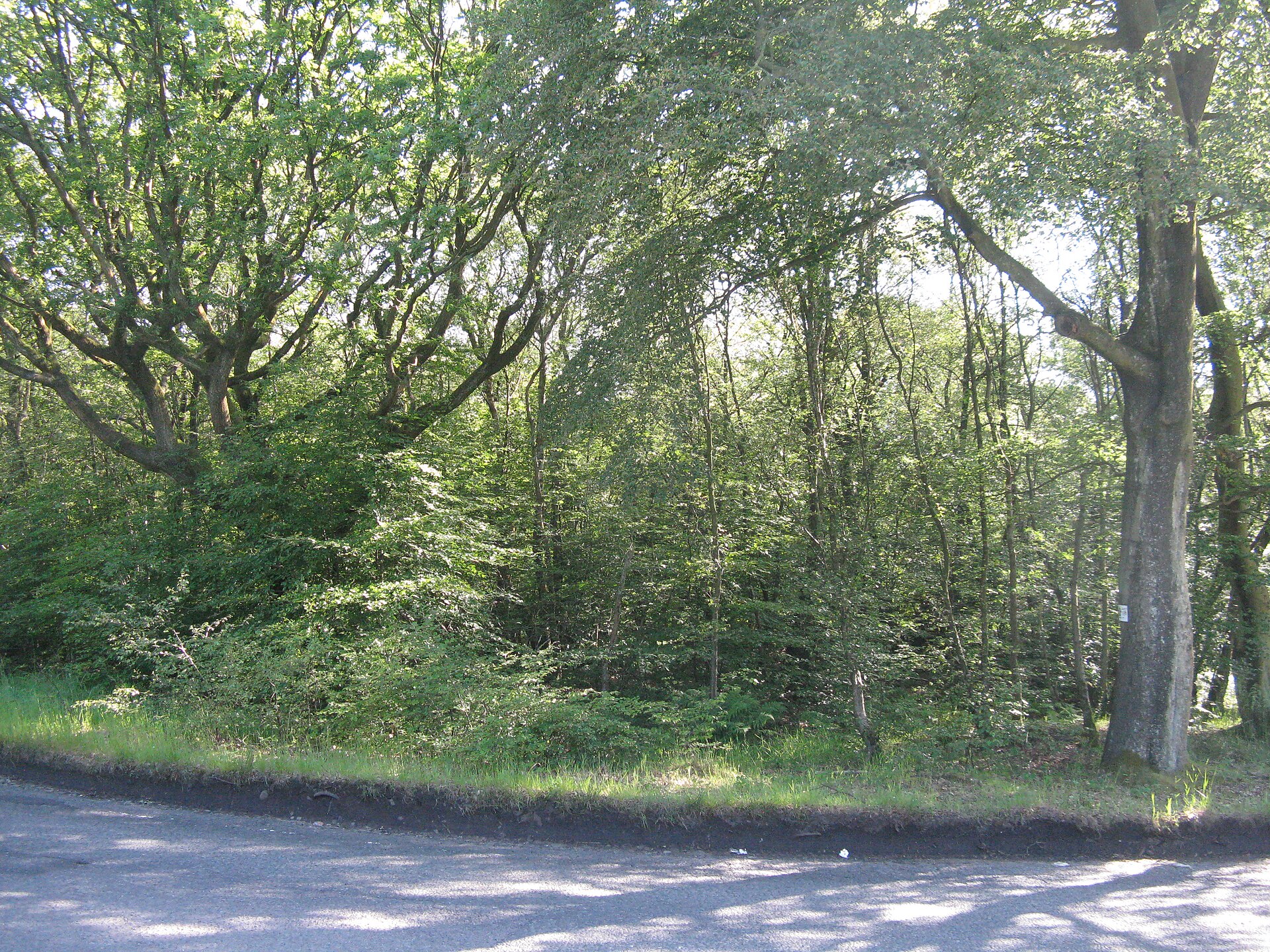
Photo: M J Richardson / Wikimedia Commons / CC BY-SA 2.0 Another Roman fort site in the Antonine frontier corridor, linking Glasgow Bridge to the chain of installations along the Wall.
-
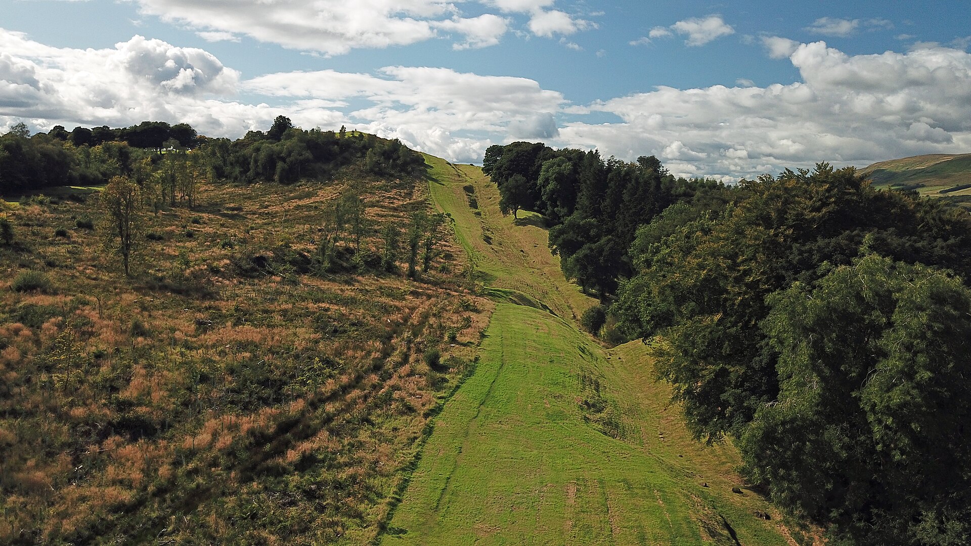
Photo: Gunther Tschuch / Wikimedia Commons / CC BY-SA 4.0 A neighbouring Antonine Wall fort that helps explain Glasgow Bridge’s military context and communications.
-
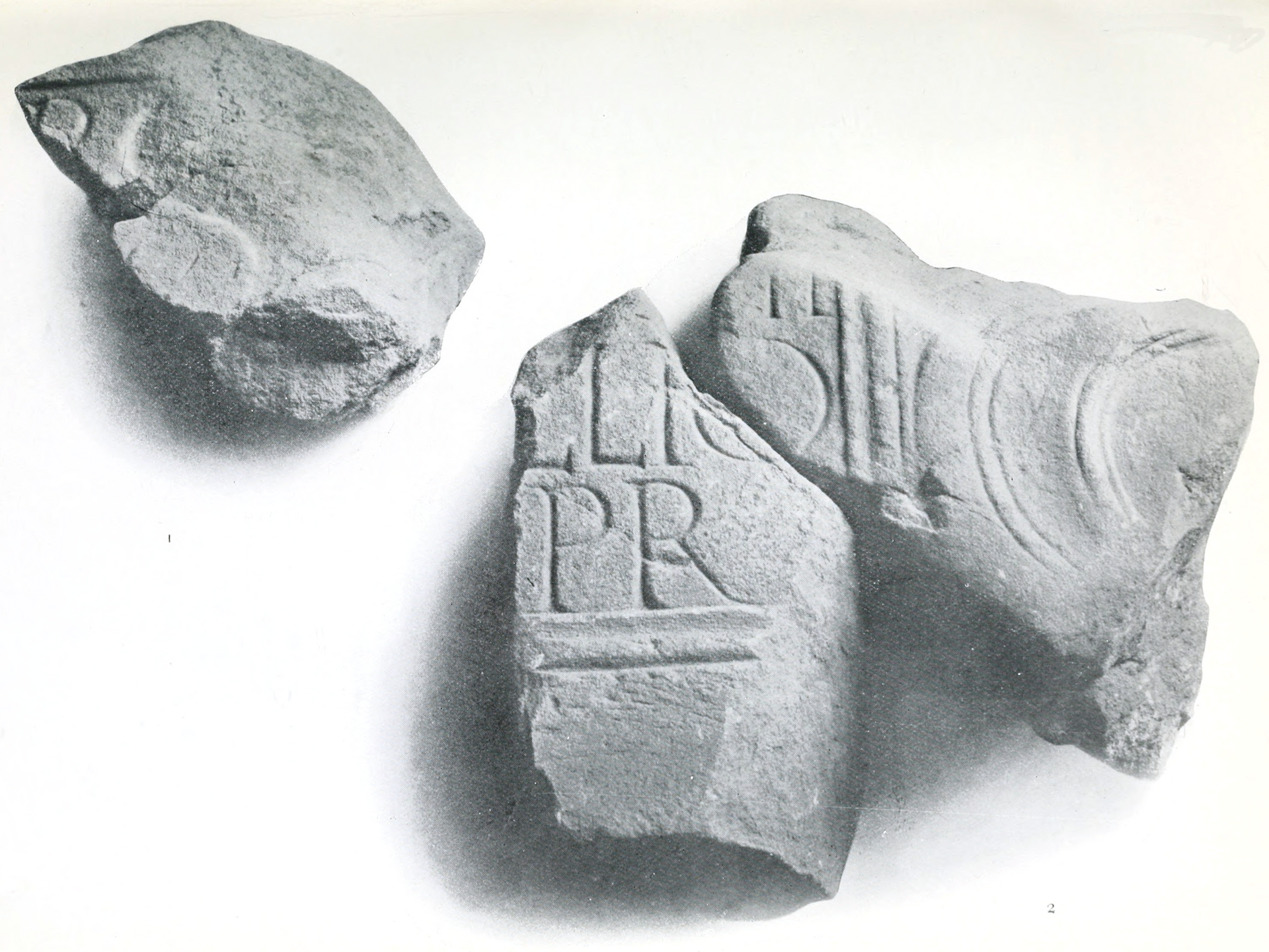
Photo: John Annan / Wikimedia Commons / Public domain Another fort on the same frontier system, providing a comparison with Glasgow Bridge’s Roman defensive role.
Discovery & excavation
Aerial photographs have intermittently revealed a possible 20-metre-square fortlet east of the bridge; no Roman structure is visible on the ground.
What to look for
-
The canal bridge
The A803 bridge crosses the Forth and Clyde Canal at Glasgow Bridge; it is a later transport landmark beside the buried Roman fortlet.
-
The fortlet site
The Roman fortlet lay immediately east of the bridge, although its probable turf rampart and ditch are not identifiable from ground level.
-
The canal basin
The canal basin and its road crossing reveal the later transport landscape that now overlays the Roman frontier corridor.
-
The view from above
From aerial imagery, look for the faint roughly 20-metre-square enclosure east of the bridge, first intermittently visible from 1955.
Plan your visit
- Location
- 55.9314°N · 4.1842°W
- Nearest settlement
- Kirkintilloch
- Access
- Open access
- Terrain
- Easy going
- Time needed
- About 45 minutes
- What survives
- The canal bridge is prominent, but the Roman fortlet is a buried, unexcavated site whose outline is only intermittently visible from aerial views.
Opening & admission
The bridge and canal can be seen from public routes, but the Roman fortlet is not visible on the ground; check local access before travelling.
- The A803 crosses the Forth and Clyde Canal here.
- The Roman site is known from aerial photographs and has not been excavated.
Nearby places
Fortified place · Roman
Wilderness Plantation
East Dunbartonshire
Wilderness Plantation is an Antonine Wall interval fortlet identified from the air and excavated in the 1960s, helping show how the frontier was st…
- Near Kirkintilloch
- Some walking
Fortified place · Roman
Auchendavy
East Dunbartonshire
Auchendavy was an Antonine Wall fort with an exceptional concentration of inscriptions, altars and military finds, despite severe damage from the F…
- Near Kirkintilloch
- Some walking
Fortified place · Roman
Balmuildy
East Dunbartonshire
Balmuildy is one of only two Antonine Wall forts known to have stone ramparts, with excavated baths, inscriptions and objects now held in Glasgow’s…
- Near Bearsden
- Some walking

Fortified place · Roman
Cadder
East Dunbartonshire
Cadder’s quarried-away fort survives through excavated headquarters, granaries and baths, preserving the evidence of a substantial Antonine Wall ga…
- Near Bishopbriggs
- Easy path
Questions people ask
- Can the Roman fortlet be seen on the ground?
- No identifiable Roman remains can be seen there today; its outline has been noted from aerial photographs.
- How large may the fortlet have been?
- Aerial photography suggests an area of around 20 metres square.
- What does the modern bridge carry?
- It carries the A803 across the Forth and Clyde Canal.
Sources
The Ancient Codex, in your pocket
Get the Pocket Codex app
Carry the directory with you — Glasgow Bridge, Kirkintilloch and thousands of ancient places across Britain and Ireland, offline, wherever you roam.