
A swathe of hundreds of lead sling bullets lies scattered along the south-eastern flank of Burnswark Hill, marking the line where Roman slingers once stood and loosed their volleys towards the ramparts above. The hill itself is a prominent flat-topped mass of basalt, formed from a local flow of lava laid down some 300 million years ago, rising to the east of the A74(M) between Ecclefechan and Lockerbie in Dumfries and Galloway.
Burnswark’s south-eastern flank still carries hundreds of lead sling bullets, the debris of Roman fire directed towards the ramparts above. Behind them, the hill rises as a flat-topped basalt mass formed by a lava flow roughly 300 million years ago, east of the A74(M) between Ecclefechan and Lockerbie.
Its summit carries an Iron Age hillfort enclosing roughly 7 hectares, with round houses inside the defences, an earlier Bronze Age burial cairn, medieval enclosures, a possible Civil War battery and an Ordnance Survey triangulation station. What sets the hill apart, however, are the two Roman camps set immediately against its base, one to the north and one to the south, together with a possible fortlet within the South Camp. Excavation has shown that the fort’s defences had already collapsed or been deliberately felled before the site was bombarded with sling bullets, arrows and artillery missiles around the year 140.
The barrage is now generally read as the debris of a Roman assault rather than a training exercise, almost certainly bound up with Quintus Lollius Urbicus’s conquest of the Scottish Lowlands. Whether the old ramparts were defended at the time or the hilltop simply served as a refuge, the archaeology places Burnswark among the most vividly documented episodes of Rome’s push north towards the frontier that would become the Antonine Wall.
What follows is drawn from published sources, with each claim labelled by how firmly it is established.
History
Long before any Roman set foot in the area, the hill was a place of the dead and then of settlement. A Bronze Age burial cairn was raised on its summit, and in the Iron Age a hillfort enclosing some 7 hectares was built there, its ramparts sheltering a cluster of round houses. The flat basalt top, formed from lava some 300 million years old, commanded the western route northwards into Caledonia.
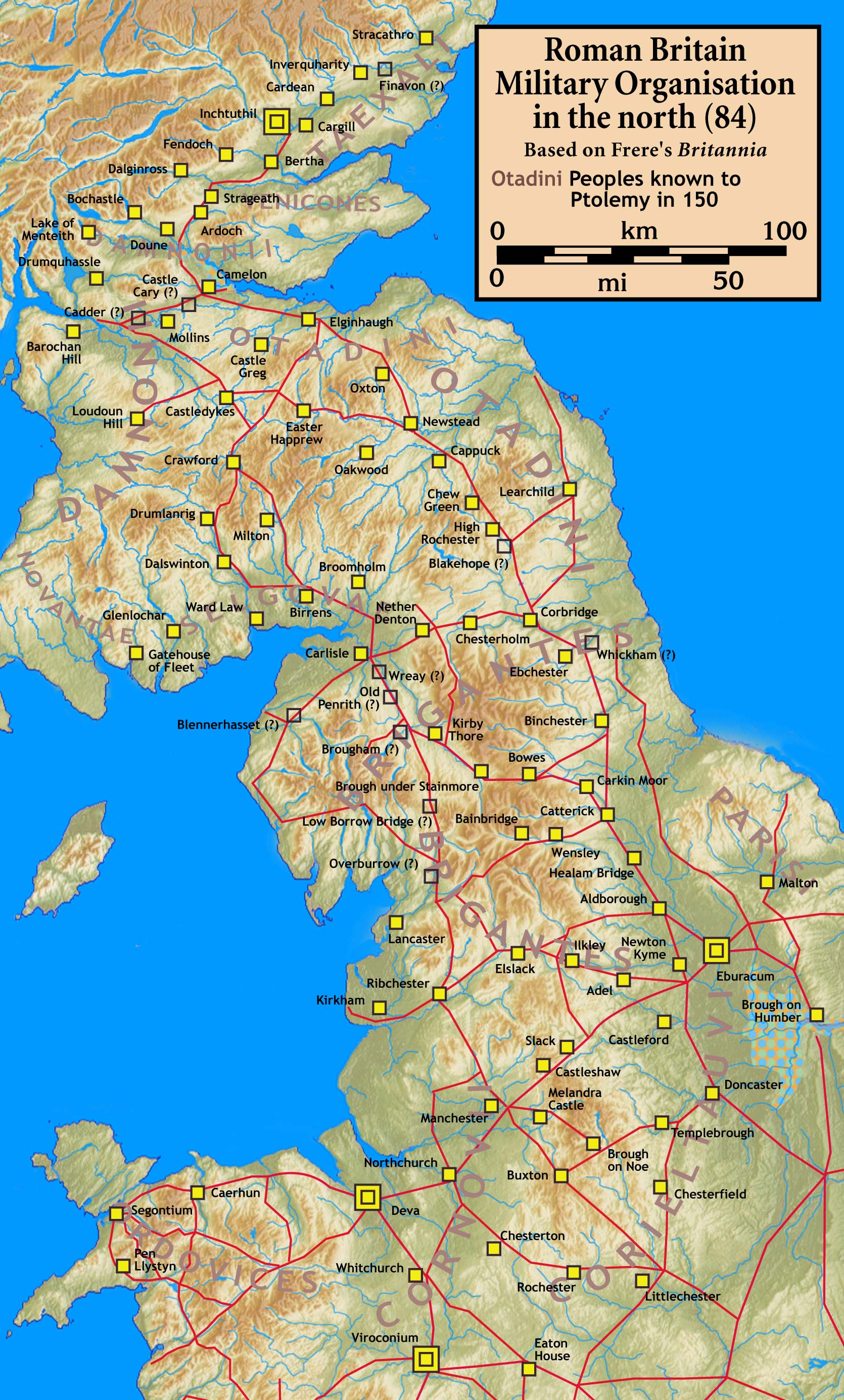
After the death of the Emperor Hadrian, Antoninus Pius took the throne and moved quickly to expand the empire beyond the limits his predecessor had set. Following the defeat of the Brigantes in 139, the governor of Britannia, Quintus Lollius Urbicus, was ordered to march north of Hadrian's Wall and conquer the Caledonian Lowlands, home to the Otadini, Selgovae, Damnonii and Novantae. Urbicus, a native of Tiddis in modern Algeria, had earlier earned the highest military honours, the corona aurea and the hasta pura, for his part in crushing the Bar Kokhba revolt.
Between 139 and 140 Urbicus moved three legions into position, drawing supply routes from Coria and Bremenium and bringing up the Legio II Augusta from Caerleon, the Legio VI Victrix from Eboracum and the Legio XX Valeria Victrix from Deva Victrix, a force of at least 16,500 men. The Selgovae of present-day Kirkcudbrightshire and Dumfriesshire, immediately north-west of Hadrian's Wall, were among the first of the tribes to face these legions, alongside the Otadini.
Warriors gathered at the ruined hillfort of Burnswark, which guarded the western approach into Caledonia. The Roman forces did not feel able to storm the position outright, and instead set up two substantial camps to north and south, effectively isolating the fort. These were fortifications built for a siege rather than a few days' occupation, capable of housing around 6,000 soldiers, while the defenders opposing them may also have numbered in the thousands, armed for the most part with swords, spears and shields against Roman slingers, archers, siege artillery and discipline.
The bombardment that followed, dated to about 140, left its trace across the ground. Hundreds of lead sling bullets fell along the south-eastern side where the fort's main entrances lay, with a smaller scatter along the facing side of the southern camp where the slingers likely stood. Iron arrowheads and ballista balls came down on the same slope, and just outside the southern camp three large outworks known as 'The Three Brethren', about 3.5 metres high and 15 metres across, may have carried mounted ballistae. The pattern fits a carefully prepared barrage meant to suppress resistance while soldiers advanced uphill to close-quarters fighting, in which few defenders could have escaped death or enslavement.
The campaign at Burnswark was likely one of many battles in the conquest of the Caledonian Lowlands. By 142 the Romans had pacified the whole area and pushed the frontier north to the newly built Antonine Wall. Near the fort of Blatobulgium at modern Birrens, finds include one of Britain's largest Victory inscriptions, dedicated to Antoninus Pius, together with rare inscriptions by military architecti whose skills would have included building and maintaining siege artillery.
The hill saw one further moment on the historical record centuries later. In November 1542 James V of Scotland rode from Lochmaben Castle to Burnswark Hill to watch fires set by the Scottish army. On learning of the defeat at the battle of Solway Moss, he turned back and returned to Stirling Castle.
People
-
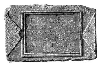
Portrait: Unknown author / Wikimedia Commons / Public domain Quintus Lollius Urbicus
Roman Governor of Britannia and a native of Tiddis in modern Algeria, ordered by Antoninus Pius to conquer the Caledonian Lowlands around 140 and awarded the corona aurea and hasta pura for his earlier role in suppressing the Bar Kokhba revolt.
-
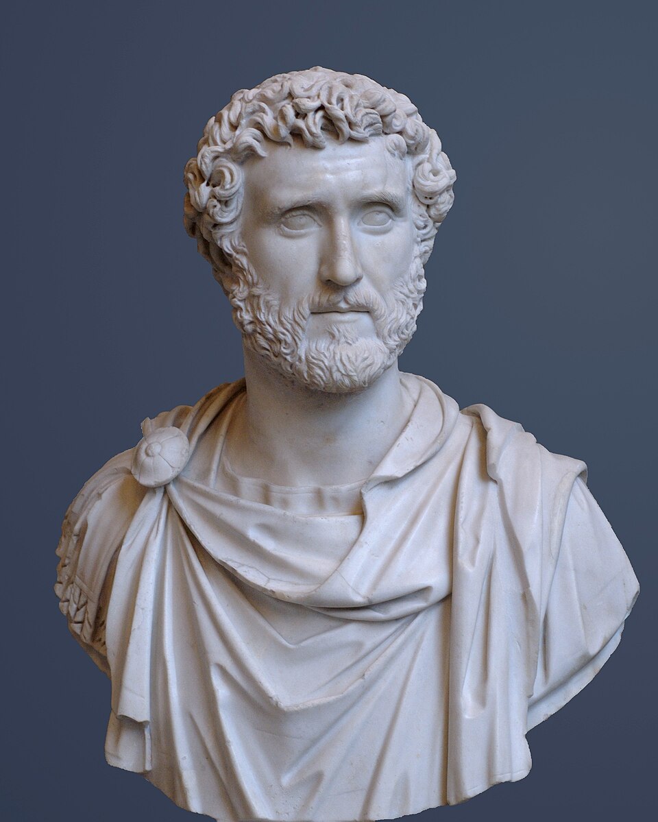
Portrait: Unknown artist / Wikimedia Commons / Public domain Antoninus Pius
Roman emperor who, on succeeding Hadrian, moved to expand the empire northwards and to whom one of Britain's largest Victory inscriptions, found near Birrens, was dedicated.
-
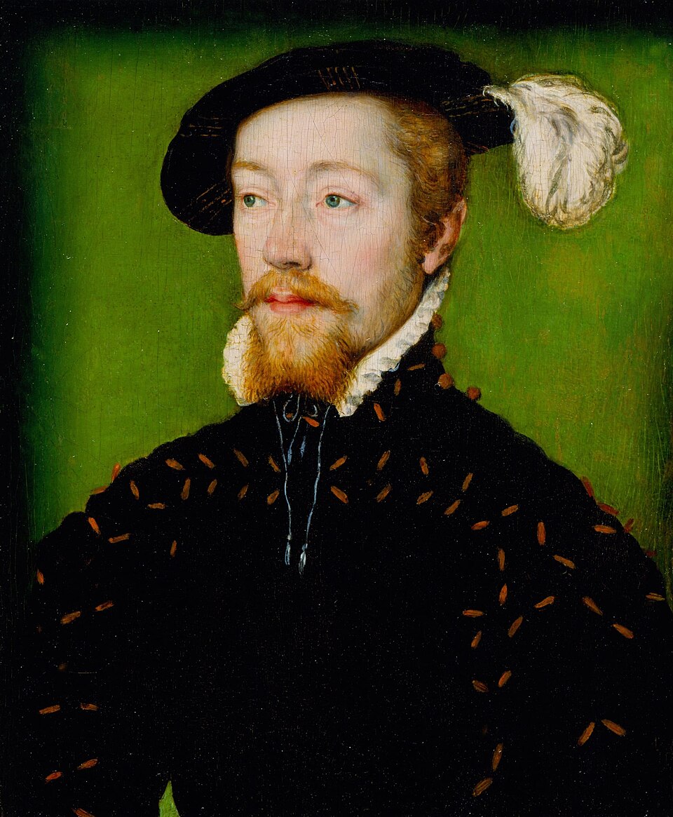
Portrait: Corneille de Lyon / Wikimedia Commons / Public domain James V of Scotland
King who rode from Lochmaben Castle to Burnswark Hill in November 1542 to watch fires set by the Scottish army, returning to Stirling Castle after learning of the defeat at Solway Moss.
Cultural influences
-
Burnswark Hill’s prominent flat-topped basalt summit commanded a western route into Caledonia, shaping its use as an Iron Age refuge and the target of a Roman assault about 140.
Connections
-
Blatobulgium (Birrens)
Nearby Antonine Roman fort where finds include one of Britain's largest Victory inscriptions and rare inscriptions by military architecti connected to the same campaign.
-
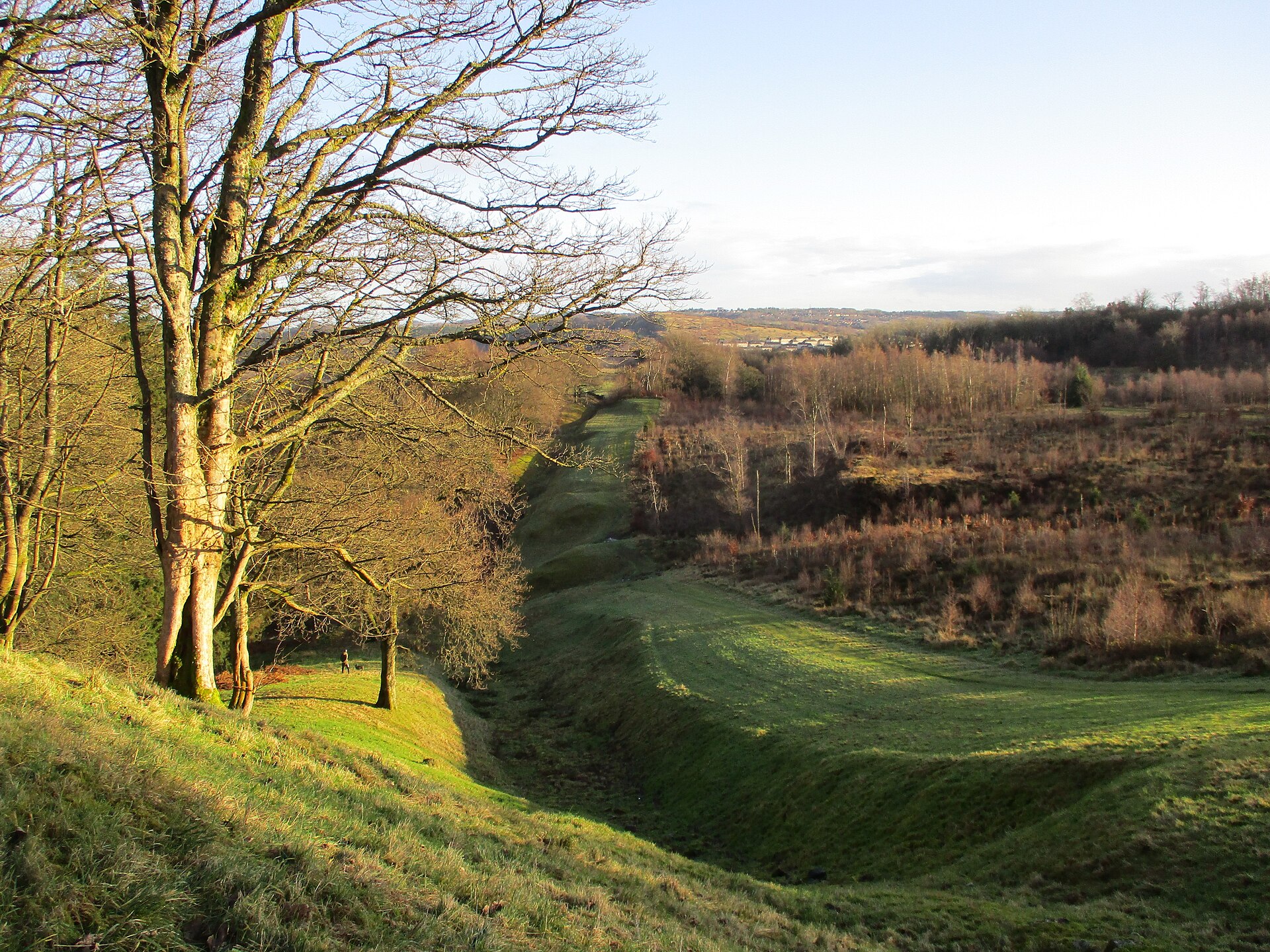
Photo: Alan O'Dowd / Wikimedia Commons / CC BY-SA 2.0 The frontier to which the Romans advanced by 142 after pacifying the Caledonian Lowlands, of which the Burnswark assault formed part.
-
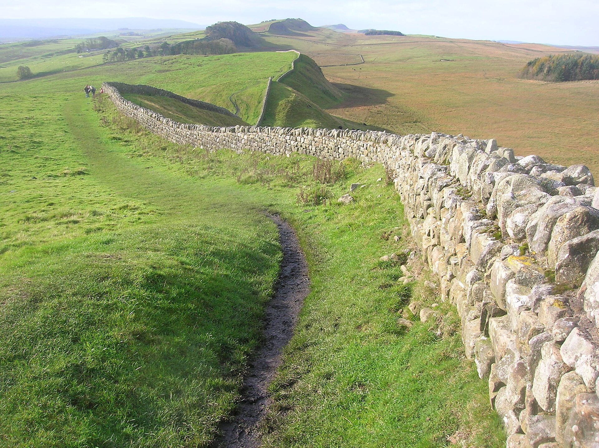
Photo: quisnovus from Gloucester, England / Wikimedia Commons / CC BY 2.0 The earlier frontier from which Lollius Urbicus marched north to begin the conquest of the lowlands around Burnswark.
-
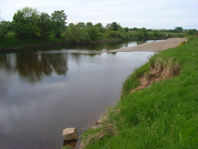
Photo: Andrew Smith / Wikimedia Commons / CC BY-SA 2.0 Battle of Solway Moss
James V watched fires at Burnswark Hill in November 1542, then turned back for Stirling after learning of the Scottish defeat at Solway Moss.
Discovery & excavation
Excavations found that the fort's defences had collapsed or been deliberately felled before the bombardment of about 140, and that arrowheads lay on top of the ramparts rather than beneath them, suggesting the defences had been made unusable before the siege. Hundreds of lead sling bullets, iron arrowheads and ballista balls were recovered chiefly along the south-eastern side of the fort and the facing side of the southern camp. Some stone projectiles had been coloured red, possibly to aid their recovery for reuse. The lead shot, unsuitable for training because it cannot be seen in flight and was costlier than stone or clay alternatives, has been central to reinterpreting the site as the scene of a genuine assault.
What to look for
-
The flat basalt summit and hillfort
The prominent flat-topped hill is composed of basalt from a lava flow some 300 million years old, and its summit carries an Iron Age hillfort enclosing about 7 hectares, with traces of round houses and an earlier Bronze Age burial cairn.
-
The two Roman siege camps
Substantial Roman camps sit immediately against the base of the hill to north and south, each capable of housing thousands of soldiers, with a possible fortlet or earlier earthwork within the South Camp.
-
The Three Brethren
Three protective outworks just outside the southern camp, about 3.5 metres high and 15 metres across with ditches partly cut into bedrock, larger than usual tituli and possibly platforms for mounted ballistae.
-
Ordnance Survey triangulation station
A trig point stands on the summit, marking the hill's continued use as a surveying high point long after its ancient occupations.
Plan your visit
- Location
- 55.0969°N · 3.2761°W
- Access
- Open access
- Terrain
- Moderate walking
- Time needed
- About 120 minutes
Nearby places
Fortified place · Roman
Birrens Roman Fort (Blatobulgium)
Dumfries and Galloway
More inscribed and sculptured Roman stones have been recovered from Birrens than from any other site in Scotland, and it is this dense scatter of a…
- Some walking
Sacred place · Prehistoric
Broadlea henge
Dumfries and Galloway
A Roman marching camp's ditch cuts clean through Broadlea henge: a circular enclosure formed by a bank and an inner ditch: entering by the north-we…
- Easy path
Fortified place · Medieval
Hoddom Castle
Dumfries and Galloway
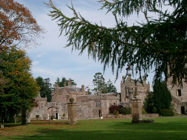
Hoddom Castle is a large Annandale tower house whose Marian-era sieges, later courtyard expansion and surviving watchtower show how Border fortific…
- Near Ecclefechan
Fortified place · Medieval
Repentance Tower
Dumfries and Galloway
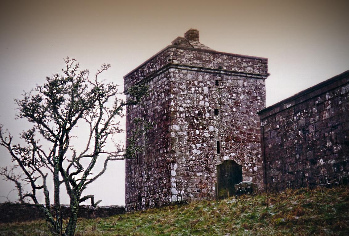
Repentance Tower is a rare mid-sixteenth-century Border watchtower, built for warning rather than living and still marked by its enigmatic ‘REPENTA…
Questions people ask
- Was Burnswark a real battle or a Roman training ground?
- Both ideas have been argued. The camps' stone facings and coloured stone projectiles once suggested a permanent training facility, but the hundreds of lead sling bullets, which cannot be seen in flight and were costly to make, point to a real assault. A military siege and Roman victory around 140 is now accepted as very probable.
- When was the Roman assault on Burnswark?
- The bombardment is dated to about 140, during Quintus Lollius Urbicus's conquest of the Scottish Lowlands under Antoninus Pius. By 142 the Romans had pacified the area and pushed the frontier north to the Antonine Wall.
- What has been found at Burnswark Hill?
- Finds include hundreds of lead sling bullets, iron arrowheads and ballista balls concentrated on the south-eastern side of the fort and the facing side of the southern camp, some stone projectiles coloured red for recovery, plus a Bronze Age cairn and Iron Age round houses on the summit.
- What are 'The Three Brethren'?
- They are three protective outworks just outside the southern Roman camp, each about 3.5 metres high and 15 metres across with ditches partly cut into bedrock. Larger than usual tituli, they may have served as platforms for mounted ballistae during the assault.
- Why did James V visit Burnswark Hill?
- In November 1542 James V of Scotland rode from Lochmaben Castle to Burnswark Hill to watch fires set by the Scottish army. After learning of the Scottish defeat at the battle of Solway Moss, he returned to Stirling Castle.
Sources
- Wikipedia: Burnswark Hill
- Wikidata: Burnswark Hill
- A.J. Woodman (with C. Kraus), Tacitus: Agricola, Cambridge University Press, 2014
Explore more: Fortified places · Roman · Dumfries and Galloway
The Ancient Codex, in your pocket
Get the Pocket Codex app
Carry the directory with you — Burnswark Hill and thousands of ancient places across Britain and Ireland, offline, wherever you roam.