
A Roman marching camp's ditch cuts clean through Broadlea henge — a circular enclosure formed by a bank and an inner ditch — entering by the north-west entrance and leaving through the south-east one, so that on aerial photographs two very different phases of the past overlap in a single frame. The henge itself, at grid reference NY 21946 74651, is a Neolithic — late Stone Age, roughly 4000–2500 BC — or Bronze Age — roughly 2500–800 BC, when metalworking spread — enclosure in the parish of Middlebie, one of very few henge monuments known in southern Scotland. It measures 50 metres by 45 metres inside a ditch that reaches as much as 10 metres wide.
A Roman marching camp’s ditch cuts clean through Broadlea henge, entering by the north-west entrance and leaving through the south-east one, so that on aerial photographs two very different phases of the past overlap in a single frame. The henge itself, at grid reference NY 21946 74651, is a Neolithic or Bronze Age circular enclosure formed by a bank and an inner ditch in the parish of Middlebie, one of very few henge monuments known in southern Scotland. It measures 50 metres by 45 metres inside a ditch that reaches as much as 10 metres wide.
The monument sits above the Mein Water valley, looking across to the Roman fort of Birrens on the opposite side. Its two entrances place it in the Class II category of henges, distinguishing it from the region’s only other well-preserved example, the considerably smaller single-entrance Class I henge at Pict’s Knowe near Dumfries. The encircling banks have been worn down over the millennia but still rise in parts to around four feet.
The wider earthwork complex, taking in both the henge and the Roman works beside it, is protected under a single scheduling as “Birrens to Broadlee, Roman forts & camps & henge”.
What follows is drawn from published sources, with each claim labelled by how firmly it is established.
History
The henge was raised in the Neolithic or Bronze Age, an earthwork enclosure defined by a broad ditch up to 10 metres across and an encircling bank, set on high ground above the Mein Water valley. With two opposed entrances it belongs to the Class II type of henge, a form comparatively rare in southern Scotland. Long after the henge fell out of use, the Roman army passed through the same ground. A marching camp was laid out so that its ditch ran directly through the monument, entering by the north-west entrance and exiting through the south-east, while the permanent fort of Birrens was established across the valley on the opposing side.
Over the intervening centuries the banks were gradually flattened by weathering and land use, though in places they still stand to around four feet. The interior survives at 50 metres by 45 metres within the line of the ditch. The henge and the adjacent Roman camp were both identified from aerial photography, which revealed the overlapping earthworks from above. The site is now protected as a scheduled monument under the designation "Birrens to Broadlee, Roman forts & camps & henge", grouping the prehistoric and Roman remains together.
Cultural influences
-
A Roman marching camp later cut directly through Broadlea’s two entrances, creating a visible overlap between the prehistoric henge and the Roman military landscape of the Mein Water valley.
Connections
-
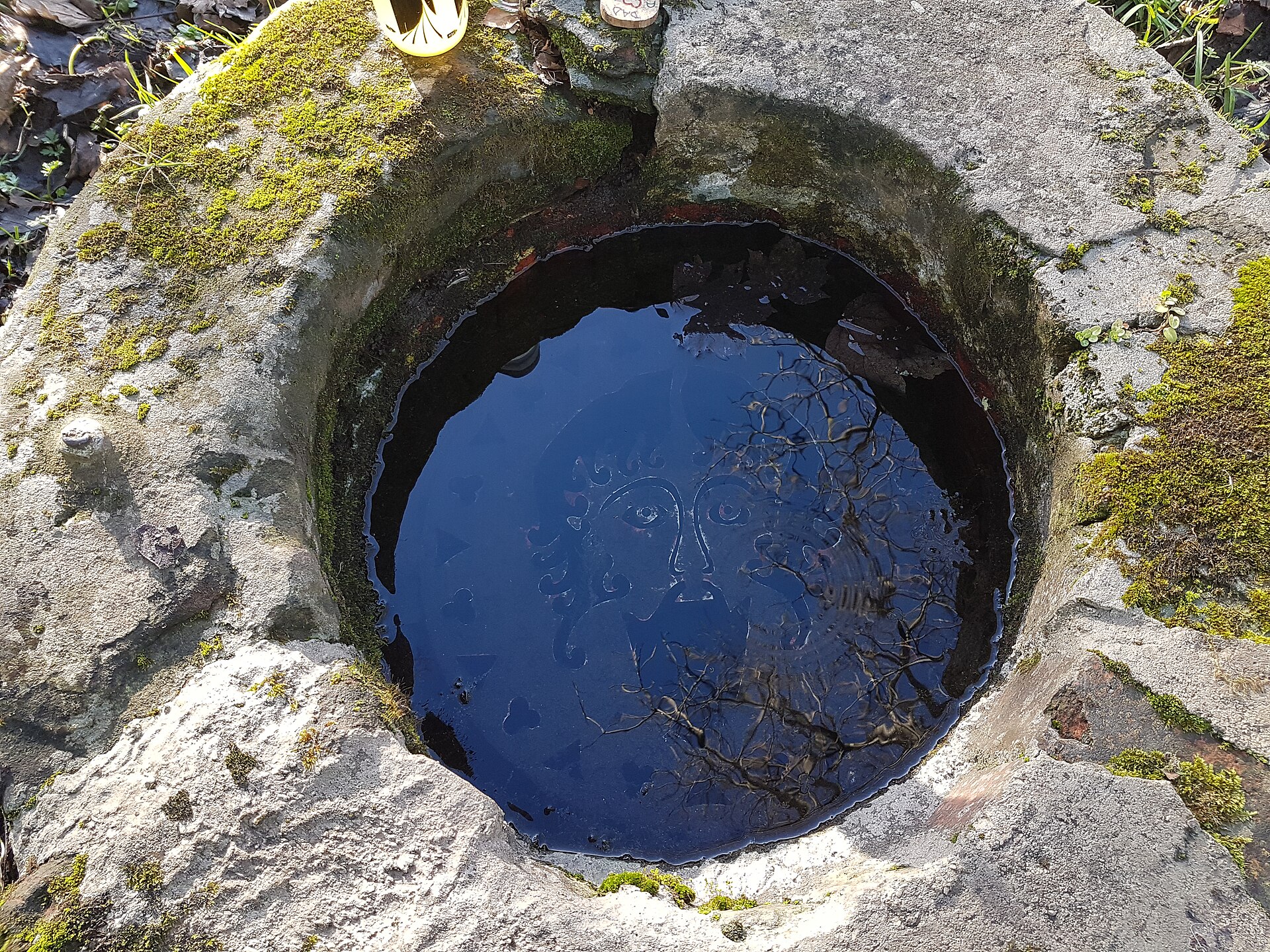
Photo: C1614 / Wikimedia Commons / CC BY-SA 4.0 The only other well-preserved henge in southern Scotland, near Dumfries; a considerably smaller single-entrance Class I henge, contrasted with Broadlea's two-entrance Class II form.
-
Birrens (Roman fort)
Roman fort on the opposite side of the Mein Water valley, associated with Broadlea in the shared scheduling of the site.
Discovery & excavation
The henge was identified through aerial photography, which also revealed a Roman marching camp whose ditch passes through the henge's north-west entrance and out through its south-east entrance.
What to look for
-
The two entrances
Opposed gaps in the bank on the north-west and south-east sides, marking Broadlea out as a Class II henge rather than the single-entrance Class I form.
-
The broad ditch
The encircling ditch, in places as much as 10 metres wide, defines an interior of 50 metres by 45 metres.
-
The surviving banks
Though flattened over time, the banks still rise in parts to around four feet high.
-
The Roman camp ditch
The line of a Roman marching camp's ditch, which runs through the henge, entering by the north-west entrance and leaving through the south-east.
-
The outlook to Birrens
The setting above the Mein Water valley, with the Roman fort of Birrens visible across on the opposite side.
Plan your visit
- Location
- 55.0602°N · 3.2236°W
- Access
- Open access
- Terrain
- Easy going
- Time needed
- About 45 minutes
Nearby places
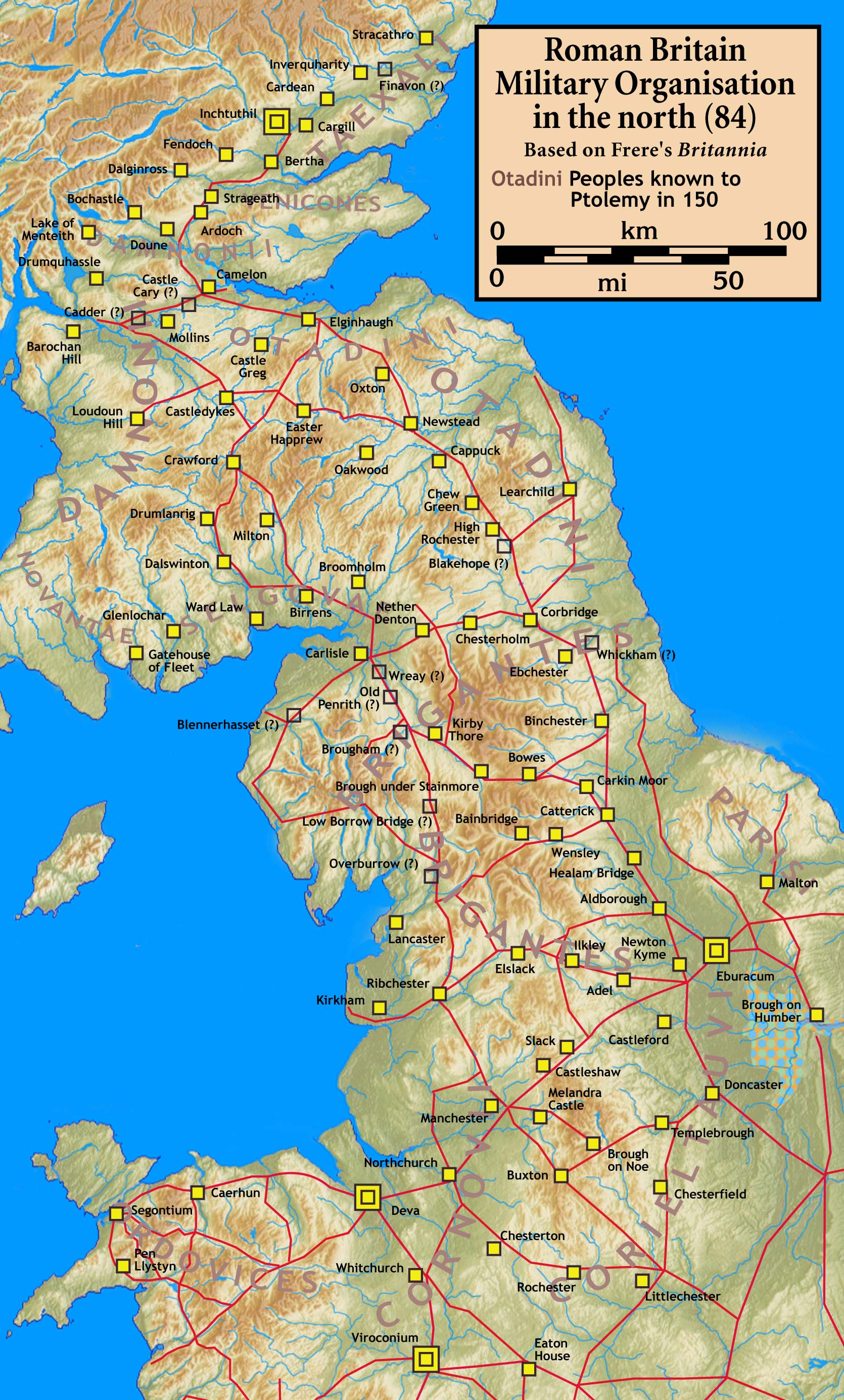
Fortified place · Roman
Birrens Roman Fort (Blatobulgium)
Dumfries and Galloway
More inscribed and sculptured Roman stones have been recovered from Birrens than from any other site in Scotland, and it is this dense scatter of a…
- Some walking
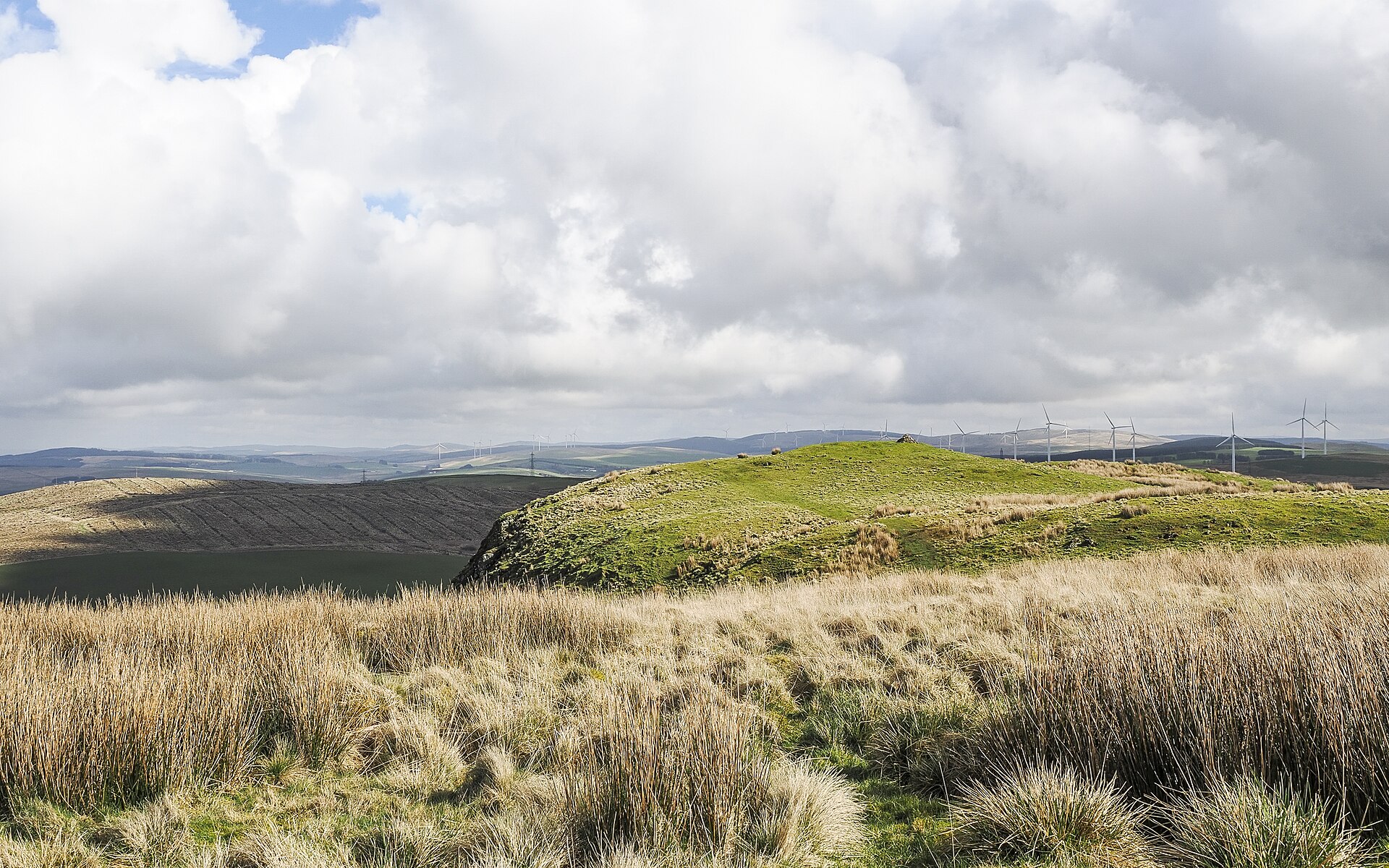
Fortified place · Roman
Burnswark Hill
Dumfries and Galloway
A swathe of hundreds of lead sling bullets lies scattered along the south-eastern flank of Burnswark Hill, marking the line where Roman slingers on…
- Some walking
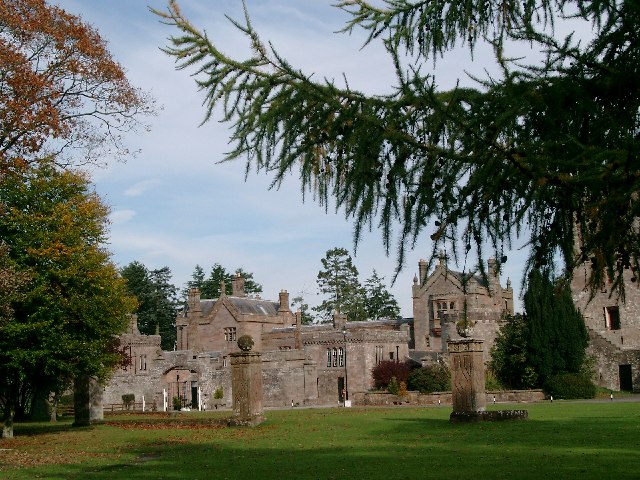
Fortified place · Medieval
Hoddom Castle
Dumfries and Galloway
Hoddom Castle is a large Annandale tower house whose Marian-era sieges, later courtyard expansion and surviving watchtower show how Border fortific…
- Near Ecclefechan
Fortified place · Medieval
Repentance Tower
Dumfries and Galloway
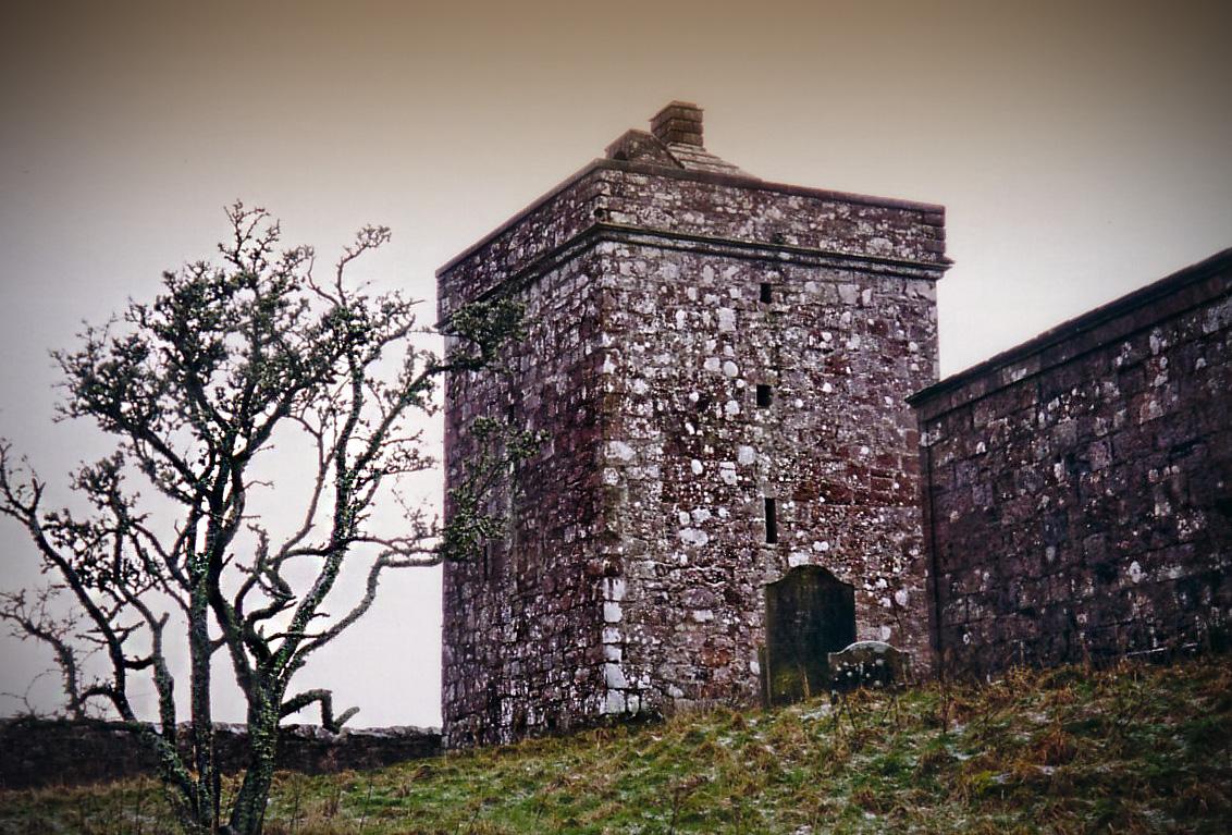
Repentance Tower is a rare mid-sixteenth-century Border watchtower, built for warning rather than living and still marked by its enigmatic ‘REPENTA…
The setting
Field and views near Broadlea Henge; retained as contextual landscape media.
Photo: Jonathan Thacker / Wikimedia Commons / CC BY-SA 2.0
Questions people ask
- What kind of monument is Broadlea henge?
- It is a Neolithic or Bronze Age henge in the parish of Middlebie, Dumfries and Galloway. With two entrances it is classed as a Class II henge, and it is one of very few henges known in southern Scotland.
- How big is the henge?
- It measures 50 metres by 45 metres inside its ditch, which is as wide as 10 metres. The banks have been flattened over time but still rise in parts to around four feet high.
- Why does a Roman camp cut through it?
- A Roman marching camp was laid out across the site long after the henge went out of use. Its ditch passes through the henge's north-west entrance and out through the south-east entrance, and both features were identified together from aerial photographs.
- How does it compare to other henges in southern Scotland?
- The only other well-preserved henge in the region is Pict's Knowe near Dumfries, which is considerably smaller and a single-entrance Class I henge. Broadlea's two entrances make it a Class II henge.
- Is the site protected?
- Yes. It is a scheduled monument, listed together with the neighbouring Roman remains as "Birrens to Broadlee, Roman forts & camps & henge".
Sources
The Ancient Codex, in your pocket
Get the Pocket Codex app
Carry the directory with you — Broadlea henge and thousands of ancient places across Britain and Ireland, offline, wherever you roam.