
A small sandy bank rises out of the peat-covered valley of the Crooks Pow stream, four kilometres south-west of Dumfries, and it is on this slight island of firmer ground that the earthwork known as Pict's Knowe was raised. The monument encloses a circle roughly 20 to 25 metres across, breached by a single entrance, which places it among the Class I henges. It belongs to a small cluster of such monuments scattered around Dumfries, a group that also includes Broadlea henge, a circular enclosure ringed by a bank with its ditch set within, near Annan.
A small sandy bank rises out of the peat-covered valley of the Crooks Pow stream, four kilometres south-west of Dumfries, and it is on this slight island of firmer ground that the earthwork known as Pict’s Knowe was raised. The monument encloses a circle roughly 20 to 25 metres across, breached by a single entrance, which places it among the Class I henges. It belongs to a small cluster of such monuments scattered around Dumfries, a group that also includes Broadlea henge near Annan.
The surrounding land had been occupied since the early Neolithic, but radiocarbon analysis points to the henge itself being an early Bronze Age construction. Its long history did not leave it untouched: livestock, burrowing rabbits and the roots of trees have all worn away at the bank and ditch over the centuries, so that what survives is a damaged version of what once stood here. Its very name, hinting at the Picts, reflects the way later generations reached for a distant past to explain an earthwork whose true origins lay far deeper in prehistory.
What follows is drawn from published sources, with each claim labelled by how firmly it is established.
History
The ground around the monument was already in use during the early Neolithic, long before the henge took shape. The bank and ditch that define Pict's Knowe were raised later, in the early Bronze Age, a date established through radiocarbon analysis rather than from any surface clue. The builders chose a small sandy bank standing proud of the waterlogged, peat-covered floor of the Crooks Pow valley, a dry foothold in an otherwise soft landscape.
With its single entrance, the henge falls into the group archaeologists label Class I, enclosing a roughly circular space between 20 and 25 metres in diameter. In the entrance itself excavators recovered sherds of a carinated urn together with fragments of cremated bone, though the bone may have come from an animal rather than a person, leaving the exact nature of what happened there uncertain.
The site did not fall out of use once the Bronze Age passed. During the Iron Age the bank was heightened and the ditch recut, and a timber platform was built over it, showing that the monument was reworked and given fresh purpose long after its first construction. In 1928 the earthwork was scheduled as a prehistoric fort, a classification that reflected how little its origins were then understood. Even after it had been recognised as a henge some decades later, that identification never reached the official records, and the National Monuments Record of Scotland continued to list it simply as an 'earthwork'.
The correction came through Richard Bradley, who in 1990 formally identified the monument as a henge. The site was then excavated by Julian Thomas across four seasons between 1994 and 1998, work that anchored its early Bronze Age date and traced the successive Iron Age additions to the bank and ditch.
People
-
.jpg?width=320)
Portrait: Print made by: Albert Hoffay After: Thomas Kirkby Printed by: Charles Joseph Hullmandel / Wikimedia Commons / Public domain Richard Bradley
Formally identified Pict’s Knowe as a henge in 1990, correcting the earlier official classification of the earthwork as a prehistoric fort.
-
Julian Thomas
Excavated the henge over four seasons from 1994 to 1998, establishing its early Bronze Age construction and later Iron Age remodelling.
Cultural influences
-
Pict’s Knowe was shaped by its small sandy bank in the peat-covered Crooks Pow valley, where later Iron Age work recut the ditch and added a timber platform.
Connections
-
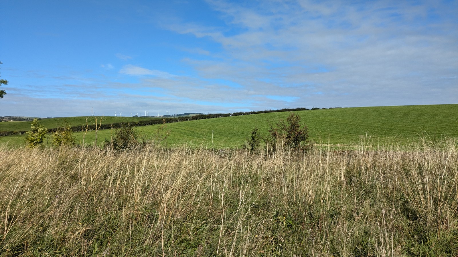
Photo: Sandy Gerrard / Wikimedia Commons / CC BY-SA 2.0 Broadlea is another henge near Annan, linking Pict’s Knowe to the small documented group of ceremonial earthworks around Dumfries.
Discovery & excavation
Pict's Knowe was excavated by Julian Thomas over four seasons between 1994 and 1998. In the entrance to the henge the excavators recovered sherds of a carinated urn along with fragments of cremated bone, which may have been animal rather than human. Radiocarbon analysis carried out on the site placed the henge's construction in the early Bronze Age, while showing that the surrounding area had been occupied since the early Neolithic. The work also revealed Iron Age reworking, when the bank was added to, the ditch recut, and a timber platform built over it.
Finds now held at: Entrance to the henge: sherds of a carinated urn and fragments of cremated bone.
What to look for
-
The single entrance
The henge has just one entrance through its bank, the feature that defines it as a Class I henge.
-
The enclosed circle
The bank and ditch enclose a roughly circular area between 20 and 25 metres in diameter.
-
The sandy bank
The monument sits on a small sandy rise standing above the peat-covered floor of the Crooks Pow valley.
-
Signs of damage
The earthwork has been worn down by livestock, rabbit burrowing and tree rooting, so its bank and ditch are less distinct than they once were.
Plan your visit
- Location
- 55.0326°N · 3.6384°W
- Access
- Open access
- Terrain
- Easy going
- Time needed
- About 45 minutes
Nearby places
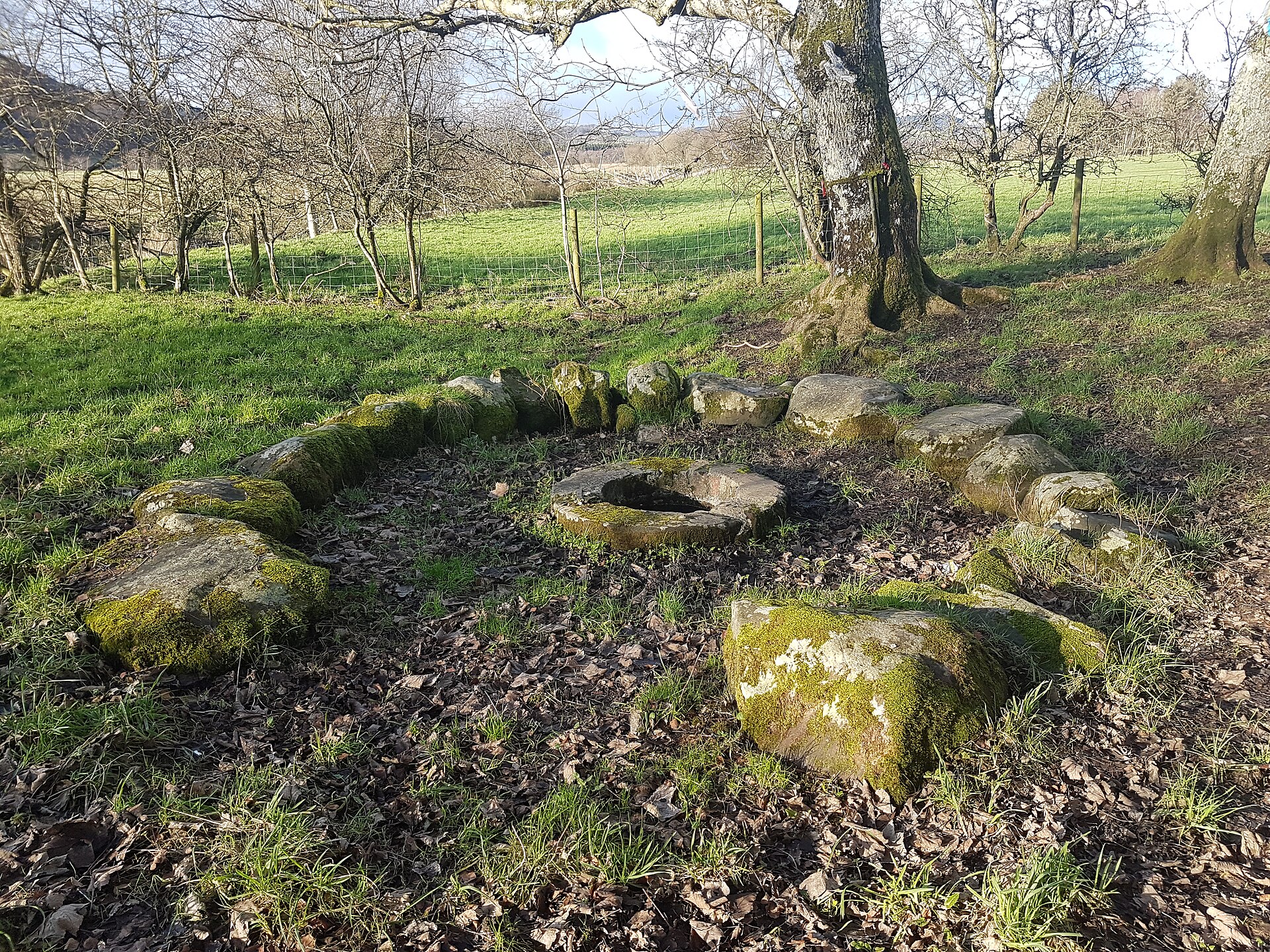
Sacred place · Medieval
St Queran's Well
Dumfries and Galloway
St Queran’s Well preserves a continuing Scottish holy-well tradition, where coins, pins and ribbons have been offered from at least the nineteenth…
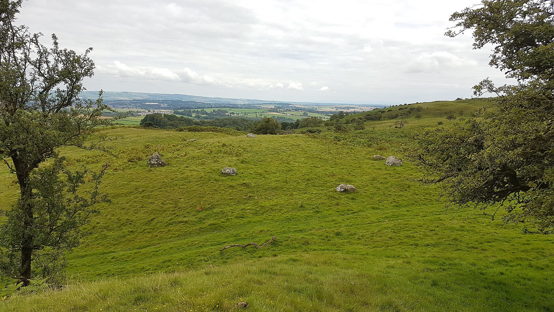
Sacred place · Prehistoric
Easthill stone circle
Dumfries and Galloway
Easthill's ring is short of a stone. Eight survive in an oval roughly three and three-quarter miles south-west of Dumfries, and a ninth is thought…
- Easy path
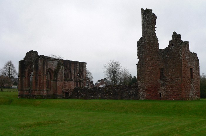
Sacred place · Medieval
Lincluden Collegiate Church
Dumfries and Galloway
Lincluden’s ruins record the transformation of Galloway’s first nunnery into a richly endowed collegiate church: a church staffed by a college of p…
- Near Newton Stewart
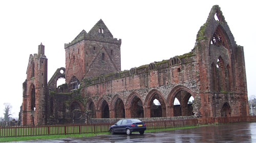
Sacred place · Medieval
Sweetheart Abbey
Dumfries and Galloway
Sweetheart Abbey preserves the personal memorial of Dervorguilla of Galloway and John de Balliol, and traces how a Cistercian house shaped the farm…
- Easy path
Questions people ask
- What kind of monument is Pict's Knowe?
- It is a henge monument, specifically a Class I henge, meaning it has a single entrance through its enclosing bank. It encloses an area roughly 20 to 25 metres in diameter.
- How old is the henge?
- The henge itself dates to the early Bronze Age, based on radiocarbon analysis, though the surrounding area had been occupied since the early Neolithic. It was later reworked during the Iron Age.
- Where is Pict's Knowe located?
- It lies about 4 km south-west of Dumfries, in the parish of Troqueer, on a small sandy bank in the peat-covered valley of the Crooks Pow stream (grid reference NX 9538 7213).
- When was it excavated?
- The site was excavated by Julian Thomas between 1994 and 1998. Richard Bradley had identified it as a henge in 1990, correcting its earlier classification as a prehistoric fort.
- What was found there?
- In the entrance to the henge, excavators found sherds of a carinated urn and fragments of cremated bone, which may have been from an animal rather than a human.
Sources
The Ancient Codex, in your pocket
Get the Pocket Codex app
Carry the directory with you — Pict's Knowe and thousands of ancient places across Britain and Ireland, offline, wherever you roam.