
More inscribed and sculptured Roman stones have been recovered from Birrens than from any other site in Scotland, and it is this dense scatter of altars and carved dedications that marks the low ground here in Dumfriesshire as the position of Blatobulgium. The fort stood on the main western road into Scotland, roughly eleven miles north of the fort at Netherby in Cumbria, and for much of its life it functioned as an outpost pushed beyond the Roman frontier rather than a garrison behind it.
The Antonine Itinerary places Blatobulgium on Route 2, the Roman road that ran north from Netherby into Scotland. At Birrens, the fort’s low ground has yielded more inscribed and sculptured Roman stones than any other site in Scotland, including altars and carved dedications that illuminate its frontier role.
Blatobulgium is one of the forts named in the Antonine Itinerary, the Roman road-book that fixed it as a point on Route 2, and in its later form it served as the northern terminus of an extended Watling Street. It lay in the territory of the Selgovae, one of the native peoples of the region, and across successive rebuildings it held nominally thousand-strong mixed units of cavalry and infantry drawn from the auxiliary army.
The fort was occupied, destroyed, rebuilt and finally abandoned across roughly a century, its fortunes tied to whether the Roman frontier ran along Hadrian’s Wall to the south or the Antonine Wall to the north. When the frontier lay on Hadrian’s Wall, Blatobulgium was an outpost watching the ground ahead of it; when the army pushed north, it became a link in the road that fed the Antonine line.
What follows is drawn from published sources, with each claim labelled by how firmly it is established.
The name
The name Blatobulgium derives from the Brittonic roots *blāto- meaning 'bloom, blossom' (or, from an earlier *mlāto-, 'flour') and *bolgo- meaning 'bag, bulge'. It may therefore mean 'flowery hillock' or 'flowery hollow'. Because there were granaries at the fort, however, the name may instead have been a nickname meaning 'Flour Sacks'.
History
There are several Roman camps near Birrens, at least one of which was first occupied in the Flavian period from 79 AD onwards, probably during the Agricolan campaigns. Its internal buildings at this stage were presumably of timber. Under Hadrian, when the frontier was established on Hadrian's Wall soon after 122, a new fort was constructed here as an outpost, built on the site of a late first-century fortlet. It had central timber buildings and a large western annexe.
The visible fort dates from the Antonine period, around 142, after the reconquest of the Scottish Lowlands. The earlier fort was rebuilt and enlarged to protect the western road to the Antonine Wall and to house a nominally 1,000-strong milliaria equitata garrison, the 1st Cohort Nerviana Germanorum, a mixed unit of cavalry and infantry from the auxiliary army. This fort was destroyed, perhaps by enemy action, around 155. The replacement stone buildings, raised in the second Antonine period from 159 onwards, were of much poorer quality and were built for a new garrison, the 2nd Cohort of Tungrians, likewise a milliaria equitata unit.
From about 163 Blatobulgium was once again an outpost of Hadrian's Wall, the frontier having contracted southward, and it was finally abandoned by about 184. In its later form the fort marked the northern terminus of the Roman-era Watling Street, using an extended definition of that road, and stood in the territory of the Selgovae.
People
-
1st Cohort Nerviana Germanorum
A nominally 1,000-strong mixed cavalry-and-infantry auxiliary unit (milliaria equitata) that garrisoned the Antonine fort from around 142.
-
2nd Cohort of Tungrians
A milliaria equitata auxiliary unit that garrisoned the rebuilt stone fort from 159 onwards.
-
Ricagambeda
A Celtic goddess to whom an altar stone found at Birrens was dedicated.
Cultural influences
-
Blatobulgium protected the principal western road into Scotland and later served as an outpost beyond Hadrian’s Wall, tying the fort to shifting Roman frontier policy.
Connections
-
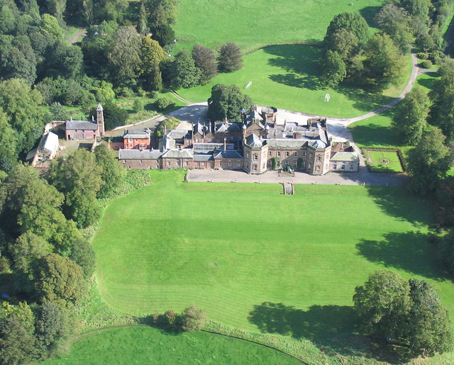
Photo: Simon Ledingham / Wikimedia Commons / CC BY-SA 2.0 Castra Exploratorum (Netherby, Cumbria)
A Roman fort about eleven miles to the south, along the western road that Blatobulgium protected.
-
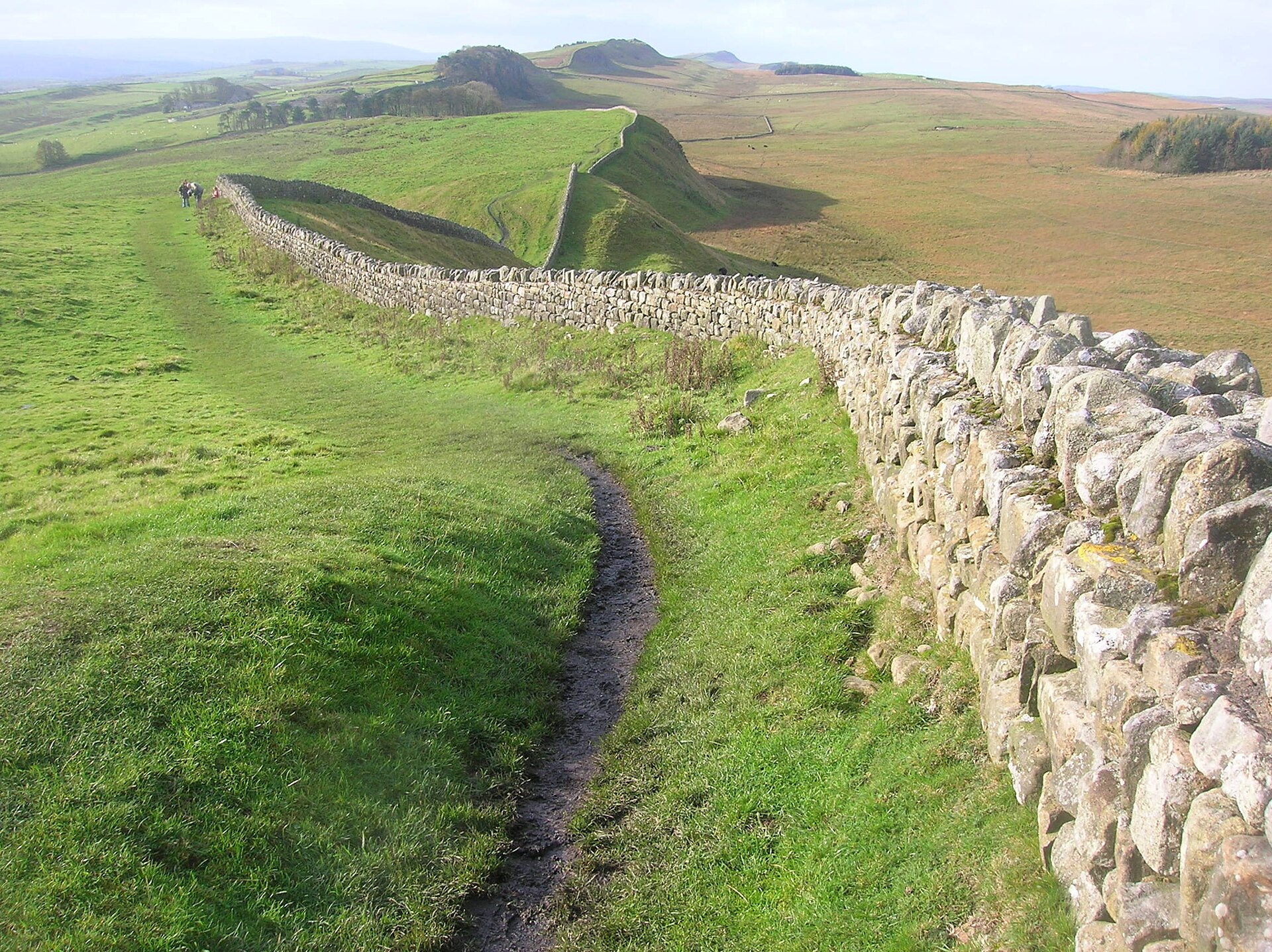
Photo: quisnovus from Gloucester, England / Wikimedia Commons / CC BY 2.0 The Roman frontier that Blatobulgium served as an outpost fort when the border ran along it.
-
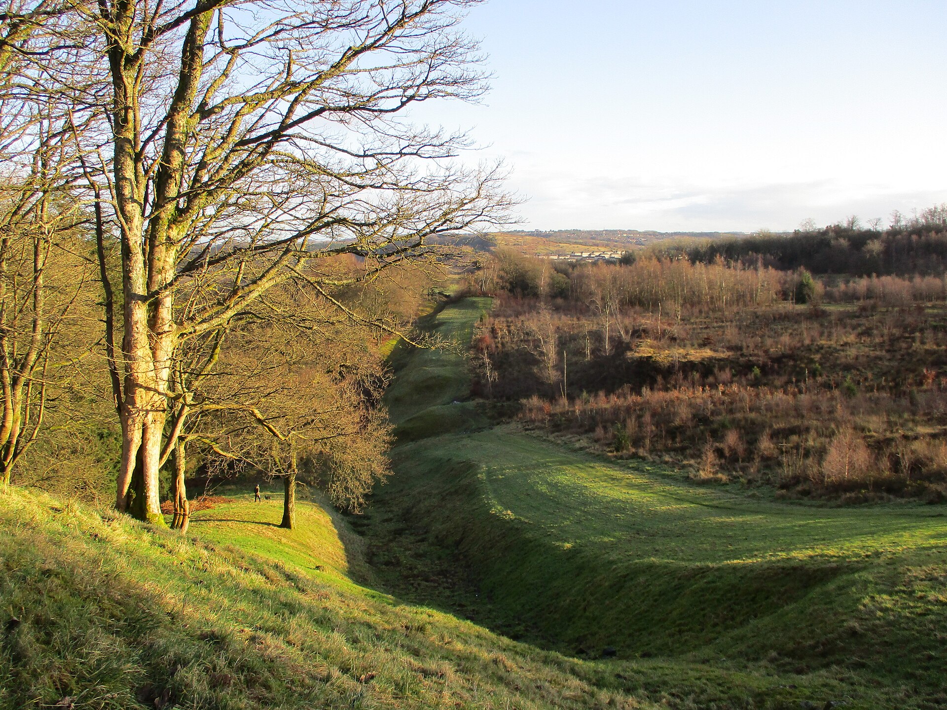
Photo: Alan O'Dowd / Wikimedia Commons / CC BY-SA 2.0 The more northerly frontier whose western road Blatobulgium protected during the Antonine reoccupation of the Lowlands.
-
Watling Street / Antonine Itinerary Route 2
The Roman road on which the later fort formed the northern terminus, recorded as Route 2 of the Antonine Itinerary.
Discovery & excavation
More inscribed and sculptured stones have been found at Birrens than anywhere else in Scotland. Among them is an altar stone dedicated to the Celtic goddess Ricagambeda.
What to look for
-
The fort platform
The visible fort and its internal buildings date from the Antonine period around 142, when the earlier fort was rebuilt and enlarged.
-
The western annexe
The Hadrianic fort included a large western annexe alongside its central timber buildings.
Plan your visit
- Location
- 55.0650°N · 3.2244°W
- Access
- Open access
- Terrain
- Moderate walking
- Time needed
- About 60 minutes
Nearby places
Sacred place · Prehistoric
Broadlea henge
Dumfries and Galloway
A Roman marching camp's ditch cuts clean through Broadlea henge: a circular enclosure formed by a bank and an inner ditch: entering by the north-we…
- Easy path
Fortified place · Roman
Burnswark Hill
Dumfries and Galloway
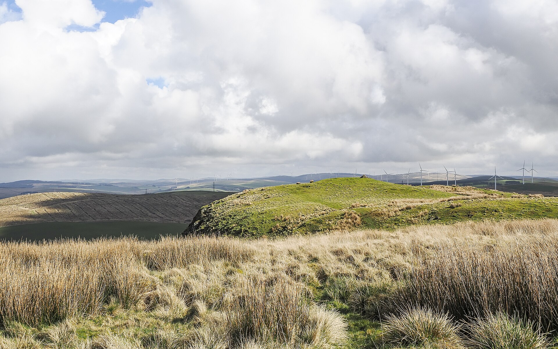
A swathe of hundreds of lead sling bullets lies scattered along the south-eastern flank of Burnswark Hill, marking the line where Roman slingers on…
- Some walking
Fortified place · Medieval
Hoddom Castle
Dumfries and Galloway
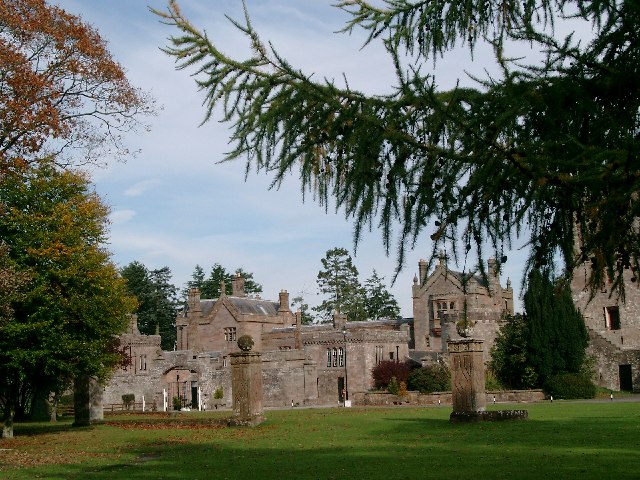
Hoddom Castle is a large Annandale tower house whose Marian-era sieges, later courtyard expansion and surviving watchtower show how Border fortific…
- Near Ecclefechan
Fortified place · Medieval
Repentance Tower
Dumfries and Galloway
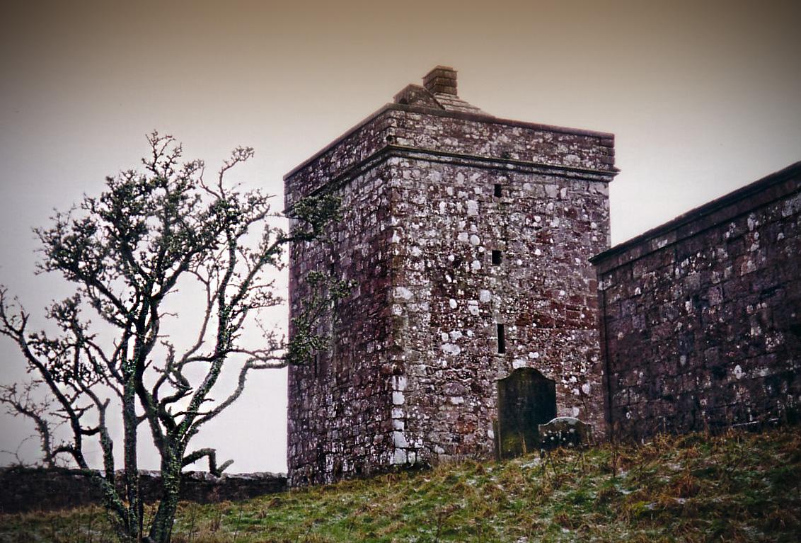
Repentance Tower is a rare mid-sixteenth-century Border watchtower, built for warning rather than living and still marked by its enigmatic ‘REPENTA…
Questions people ask
- What was Blatobulgium?
- A Roman fort at the modern site of Birrens in Dumfriesshire, Scotland. It protected the main western road into Scotland and served for much of its life as an outpost fort beyond the Roman frontier.
- Where does the name Blatobulgium come from?
- It comes from the Brittonic roots *blāto- ('bloom, blossom' or 'flour') and *bolgo- ('bag, bulge'), and may mean 'flowery hillock' or 'flowery hollow'. Because the fort had granaries, it may instead have been a nickname meaning 'Flour Sacks'.
- Who was stationed at the fort?
- The Antonine fort of around 142 housed the 1st Cohort Nerviana Germanorum, a nominally 1,000-strong mixed cavalry-and-infantry unit. From 159 the rebuilt stone fort was garrisoned by the 2nd Cohort of Tungrians, likewise a milliaria equitata unit.
- When was Blatobulgium occupied?
- The earliest camps date from the Flavian period from 79 AD, probably during the Agricolan campaigns. Successive forts followed under Hadrian and in the Antonine period, and the site was finally abandoned by about 184.
- Why is Birrens significant to archaeologists?
- More inscribed and sculptured stones have been found at Birrens than anywhere else in Scotland, including an altar dedicated to the Celtic goddess Ricagambeda.
Sources
- Blatobulgium — Wikipedia
- Blatobulgium (Q1710821) — Wikidata
- Antonine Itinerary (Route 2)
Explore more: Fortified places · Roman · Dumfries and Galloway
The Ancient Codex, in your pocket
Get the Pocket Codex app
Carry the directory with you — Birrens Roman Fort (Blatobulgium) and thousands of ancient places across Britain and Ireland, offline, wherever you roam.