
Macduff’s 1783 cross reassembled older fragments into a royal-burgh statement, its rider and inscriptions preserving the Earl of Fife’s civic ambitions in granite.
Above Church Street, a small rider on horseback crowns Macduff’s granite burgh cross, set on a circular crenellated platform reached by steps. A carved plaque sits below the figure, while larger inscribed plaques mark the north and south faces of the plinth.
The present form dates from 1783, when earlier fragments were reconstituted after Macduff was constituted a royal burgh. The south plaque names the Earl of Fife and George III, while the north plaque addresses the town’s inhabitants in the language of civic improvement.
Macduff itself was formally established by the Earl of Fife in 1732, though a fishing hamlet existed earlier. The cross therefore marks both the town’s planned civic identity and the survival of older, partly unknown fragments.
What follows is drawn from published sources, with each claim labelled by how firmly it is established.
The name
The settlement began as the fishing hamlet of Doune or Down. After its purchase and development by the Earl of Fife, it was renamed Macduff when it received its royal-burgh charter in 1783; the town name therefore preserves the name of its founding landowning family.
History
A small fishing hamlet existed before the Earl of Fife formally established Macduff in 1732. The settlement was first known as Down or Doune, linking the later civic monument to a place whose identity changed as its urban ambitions developed. This earlier settlement history explains why the later cross also records a new civic identity.
When Macduff was constituted a royal burgh under George III, earlier fragments were reassembled in 1783 to make the cross seen today. The date belongs to the monument’s present form, while the original date of the carved fragments is not known. The cross therefore preserves its 1783 rebuilding while leaving earlier fragments undated.
The builders used granite for the cross, plinth and carved elements. A figure on horseback appears at the apex, and inscribed slabs form the arms of the cross, combining a traditional burgh marker with a public statement about the town’s status. The combination makes the monument both a market marker and a civic statement.
The south plaque records that Macduff was rebuilt by the Earl of Fife in 1783 and constituted a royal burgh by George III. Its wording joins local government, landed patronage and the town’s expected prosperity in a single civic inscription. The inscription makes the cross a record of Macduff’s constitutional status as well as its rebuilding.
In 1983 a plaque recorded the bicentenary of Macduff, while the area around the cross was laid out in its present form with steps and a platform. The monument consequently continues to carry later memories of the town’s civic history. The later plaque adds a twentieth-century layer to the monument’s civic record.
Connections
-
Earl of Fife
He formally established Macduff in 1732 and is named on the 1783 plaque associated with the cross.
-
George III
The 1783 inscription records Macduff’s constitution as a royal burgh under his reign.
What to look for
-
The inscribed plinth
The north and south granite plaques preserve civic messages about industry, temperance, prosperity and the 1783 creation of the burgh.
Plan your visit
- Location
- 57.6683°N · 2.5024°W
- Access
- Visible from a public way
- Terrain
- Easy going
- Time needed
- About 20 minutes
- Best time
- Daylight is the most useful time to see the carved stonework from the public way.
- What survives
- The historic market cross survives as a visible civic monument in the settlement.
- Facilities
- No dedicated visitor facilities are identified in the cited listed-building source; use the settlement facilities nearby.
Opening & admission
Free to view from the public street or square; no admission arrangement is recorded.
- The cross is a civic street monument in the settlement centre and should be viewed from the public way.
Nearby places
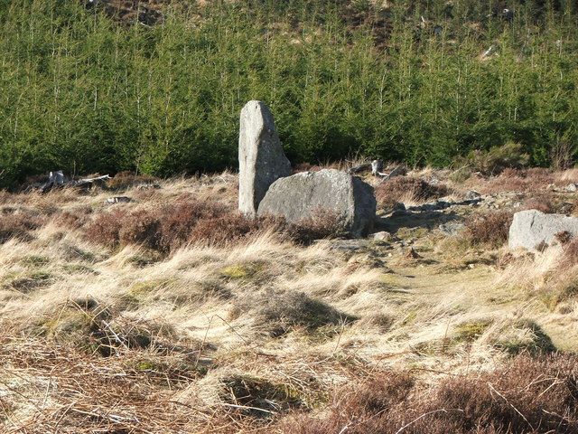
Sacred place · Prehistoric
Whitehill Wood, Aberdeenshire
Aberdeenshire
Two dating estimates over a thousand years apart - Sir Norman Lockyer's 1200 BC and Historic Environment Scotland's roughly 4500 years old - sit on…
- Near Aberchirder
- Rough ground
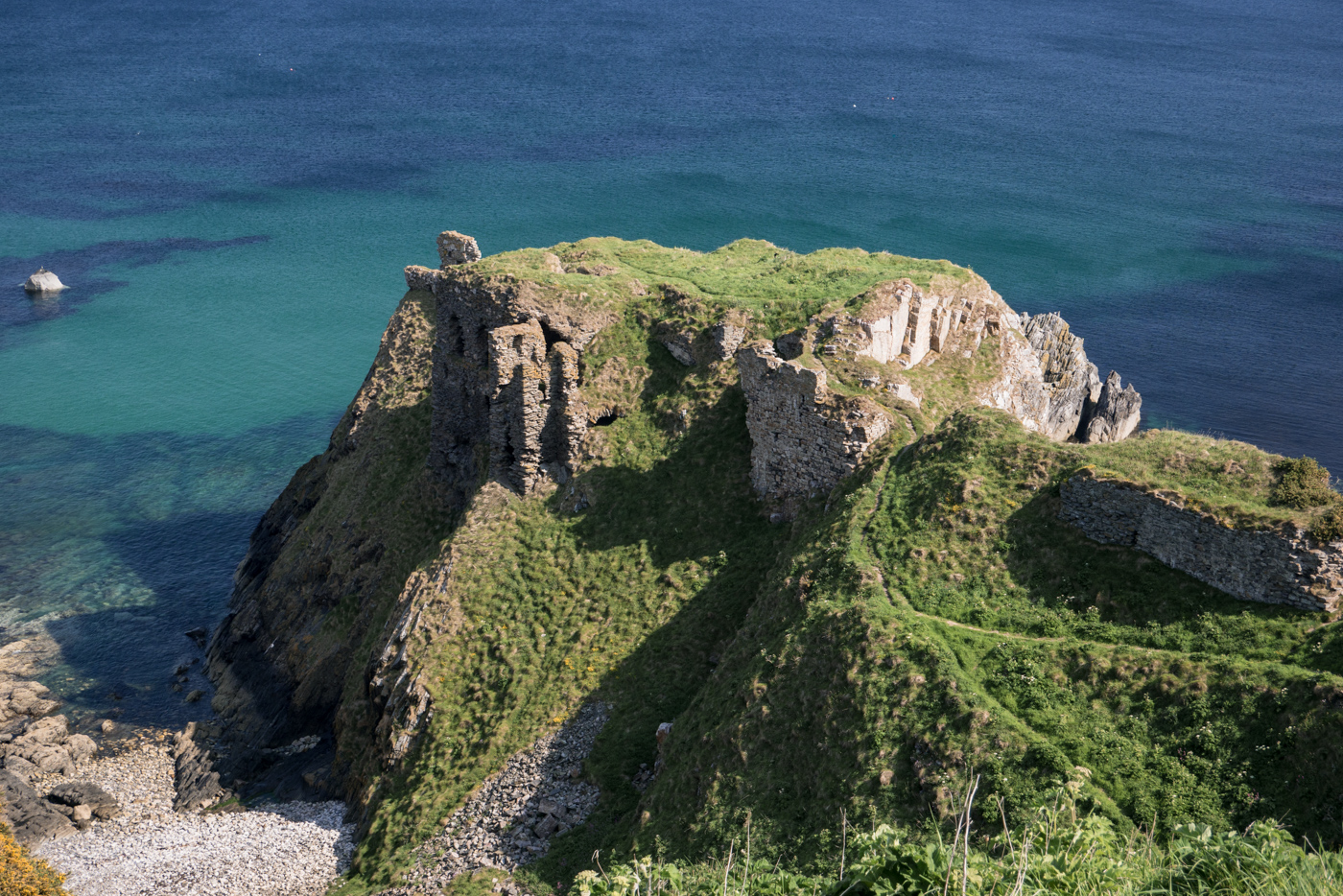
Fortified place · Medieval
Findlater Castle
Aberdeenshire
Besieged by Norwegian invaders in the 1260s and by Mary, Queen of Scots' own army in 1562, after a family plot to imprison and displace its own lai…
- Near Cullen
- Rough ground
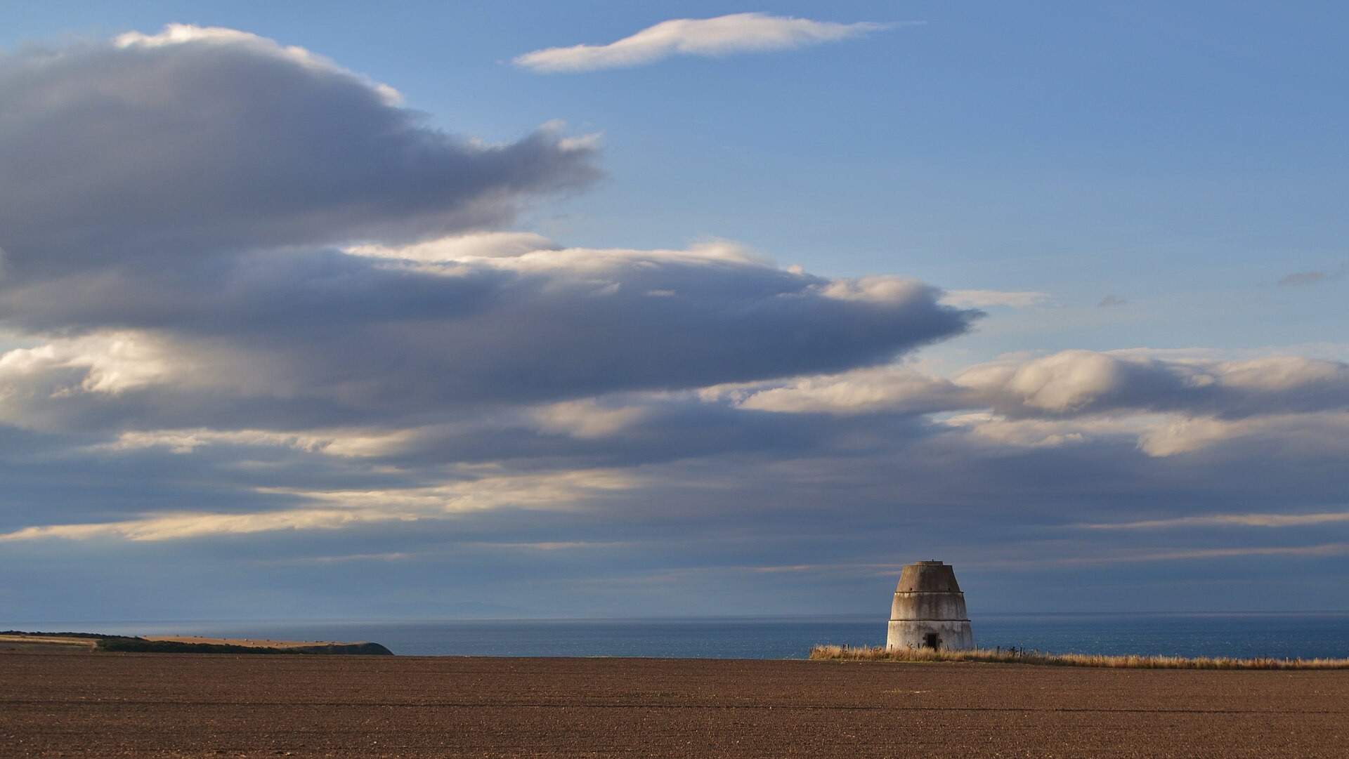
Minor monument · Medieval
Dovecot, Barnyards Of Findlater
Aberdeenshire
Findlater’s beehive pigeon house retains about 700 nesting boxes, making an otherwise modest estate building an unusually legible record of how the…
- Near Sandend
Sacred place · Prehistoric
Yonder Bognie
Aberdeenshire
One of more than seventy recumbent stone circles unique to lowland Aberdeenshire, its closest architectural parallels lie not in Scotland but in so…
- Near Huntly
- Easy path
The setting
Macduff Harbour seen from Church Street, near the market cross.
Photo: Colin Park / Wikimedia Commons / CC BY-SA 2.0
Macduff harbour viewed from Church Street, in the town setting around the market cross.
Photo: Bill Harrison / Wikimedia Commons / CC BY-SA 2.0
Questions people ask
- When was the present cross made?
- Earlier fragments were reconstituted in their present form in 1783.
- When was Macduff established?
- The Earl of Fife formally established Macduff in 1732, although a fishing hamlet existed earlier.
- What does the cross commemorate?
- Its inscription records Macduff’s constitution as a royal burgh under George III.
Sources
- Historic Environment Scotland — Church Street, Burgh Cross
- John Small, Scottish Market Crosses
Explore more: Minor monuments · Medieval · Aberdeenshire
The Ancient Codex, in your pocket
Get the Pocket Codex app
Carry the directory with you — Market Cross, Church Street, Macduff and thousands of ancient places across Britain and Ireland, offline, wherever you roam.