
The Romans pulled it down themselves when they left. Aerial photography found it again in 1983.
The Romans took this fortlet down themselves when they left it. Deliberate demolition on withdrawal is recorded across the northern frontier - the practice denies the materials and the defences to whoever comes next - and it is why nothing of Glenbank stood above ground to be found.
It was found from the air. G. S. Maxwell picked out the site on aerial photographs in 1983, geophysical survey confirmed it, and excavations followed in 1984 and again in 1999. For a site that had been entirely lost, that is an unusually complete sequence of investigation.
What it was is clear enough. Glenbank is a fortlet of the Gask Ridge system, built probably around AD 70 to 80, standing beside the Roman road between the forts at Ardoch and Doune, south of the Allan Water. It is currently the most southerly of the known Gask fortifications, with the others running north from here as far as Bertha - so it marks the present end of a chain rather than a post on its own.
What follows is drawn from published sources, with each claim labelled by how firmly it is established.
History
Glenbank was a Roman fortlet associated with the Gask Ridge system in Scotland. It stands beside the Roman road that linked the forts at Ardoch and Doune, south of the Allan Water and close to the modern A9. A fortlet is a small garrison post rather than a fort proper, holding a detachment sufficient to watch a road and pass word along it. It is currently the most southerly of the known Gask fortifications. Several other Gask installations have been identified running north from here as far as Bertha, so this site marks the present southern end of a chain rather than an isolated post.
The fortlet was probably built around AD 70 to 80. That places it in the first Roman push into this part of Scotland, when the frontier arrangements of the Gask system were being laid out along the road. G. S. Maxwell discovered the site from aerial photography in 1983. It was confirmed by geophysical survey and by excavations carried out in 1984 and again in 1999, which is a well-documented sequence for a site that had been entirely lost.
The Romans seem to have demolished the fortlet deliberately when they abandoned it. Slighting an installation on withdrawal denies its materials and its defences to anyone who comes after, and the practice is recorded across the northern frontier. It also explains why so little of the Gask system survives above ground and why so much of it has had to be found from the air.
People
-
G. S. Maxwell
Archaeologist who identified the lost Roman fortlet from aerial photography in 1983, initiating geophysical survey and excavations in 1984 and 1999.
Cultural influences
-
The small fortlet watched the Roman road between Ardoch and Doune as the southernmost known installation of the Gask chain.
Connections
-
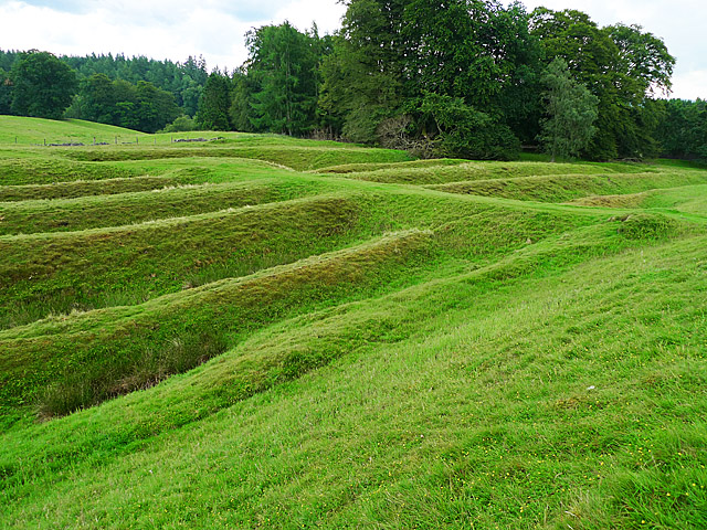
Photo: Dr Richard Murray / Wikimedia Commons / CC BY-SA 2.0 One of the two Roman forts linked by the road beside Glenbank, the route the fortlet’s small garrison was positioned to watch.
-
Doune
The western fort on the Roman road beside Glenbank, making the fortlet part of the monitored route between Doune and Ardoch.
-
Bertha
The northern end of the identified Gask installations, which run north from Glenbank, the system’s most southerly known fortification.
Discovery & excavation
Aerial photography found the lost fortlet in 1983; geophysical survey and excavations in 1984 and 1999 confirmed it.
What to look for
-
Nothing above ground
The site was found from the air and confirmed by geophysics and excavation; the Romans demolished it themselves on abandoning it.
-
The road line
The fortlet sits beside the Roman road between Ardoch and Doune, which is the reason for its position.
Plan your visit
- Location
- 56.2291°N · 3.9176°W
- Nearest settlement
- Dunblane
- Access
- Open access
- Terrain
- Moderate walking
- Time needed
- About 45 minutes
- What survives
- A deliberately demolished Roman fortlet with no standing remains, identified from aerial photography and survey beside the Roman road.
Opening & admission
- Roman fortlet site near the A9 and Allan Water; visible remains and public access are not established here.
Nearby places
Fortified place · Roman
Ardoch Roman Fort
Perth and Kinross
Five ditches deep on two sides, and among the best-preserved Roman earthworks anywhere in the Empire.
Sacred place · Medieval
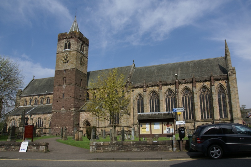
Dunblane Cathedral
Stirling
A cathedral whose nave stood roofless for nearly three centuries: and which holds the finest medieval woodwork in Scotland after King's College, Ab…
- Near Dunblane
Fortified place · Roman
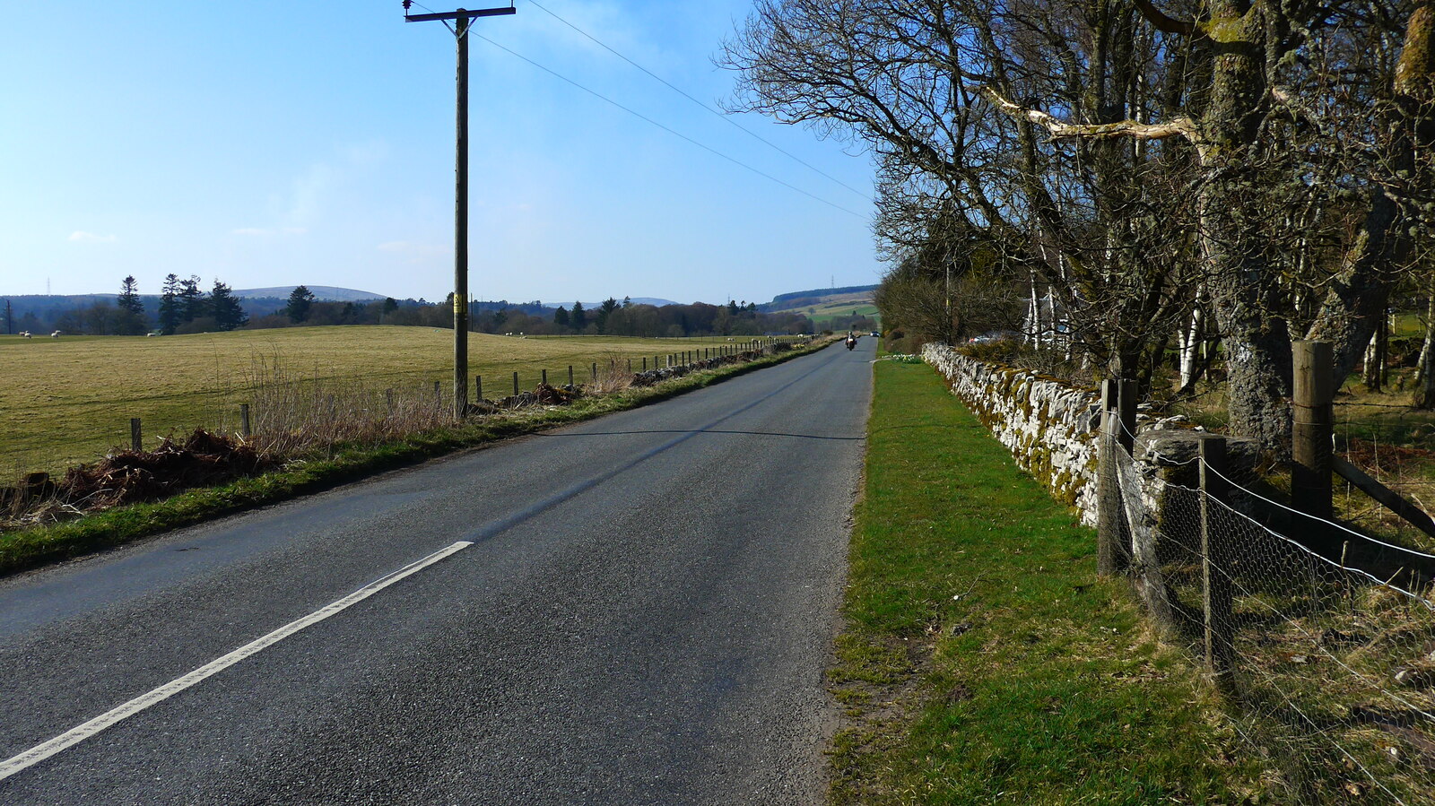
Black Hill Roman Camps
Perth and Kinross
Two Roman camps within the extensive military complex centred on the fort at Ardoch.
- Some walking

Fortified place · Iron Age
Dumyat
Clackmannanshire
Dumyat’s Castle Law preserves an excavated hill fort with evidence for occupation from around 500 BC and again in the fifth to seventh centuries AD.
- Near Alloa
- Rough ground
Questions people ask
- How was it found?
- From aerial photography by G. S. Maxwell in 1983, then confirmed by geophysics and by excavations in 1984 and 1999.
- When was it built?
- Probably around AD 70 to 80, during the first Roman push into this part of Scotland.
- Why is nothing visible?
- The Romans appear to have demolished the fortlet deliberately when they abandoned it, denying its materials and defences to anyone following.
Sources
The Ancient Codex, in your pocket
Get the Pocket Codex app
Carry the directory with you — Glenbank and thousands of ancient places across Britain and Ireland, offline, wherever you roam.