
Five ditches deep on two sides, and among the best-preserved Roman earthworks anywhere in the Empire.
The later fort at Ardoch is protected by five ditches on its east and north sides. That is not a standard arrangement; it happened because the fort was rebuilt inside two outer ditches that already existed, so the new work inherited them.
The site sits just outside Braco in Perthshire, seven miles south of Crieff, on the line of the Roman Gask Ridge, and it is described as one of the most complete Roman camps in Britain and one of the best-preserved series of Roman military earthworks in the whole Empire. None of it is masonry. What survives is grass over earthwork, which is precisely why the plan can still be read by walking it.
Two forts intersect here. The earlier is believed to belong to Agricola’s campaigns in the first century; the later was built across it. To the north, a field is the remnant of a large annexe, and archaeology has identified a watchtower and at least six overlapping marching camps to the north and north-east — a site used, left, and used again.
What follows is drawn from published sources, with each claim labelled by how firmly it is established.
The name
Ardoch is tentatively identified with Ptolemy’s Alauna, perhaps connected with the nearby River Allan, though this identification remains uncertain.
History
Ardoch Roman Fort lies just outside the village of Braco in Perthshire, about seven miles south of Crieff. The site holds the remains of a Roman fort and several marching camps, including a signal tower, and forms part of the Roman Gask Ridge. It is protected as a scheduled monument. It is said to be one of the most complete Roman camps in Britain and one of the best-preserved series of Roman military earthworks in the whole Empire. What survives is grass-covered earthwork rather than masonry, which is why the plan reads so clearly from the ground.
The history is layered. Two forts intersect on the site. The earlier is believed to belong to the campaigns of Agricola in the first century, and the later was apparently reconstructed within two outer ditches, so that it ended up protected by five ditches on both the east and north sides. Five ditches on two sides is an unusual depth of defence, and it is the feature most worth walking. The field to the north is the remnant of a large annexe, and archaeology has established a watchtower and at least six overlapping marching camps to the north and north-east.
People
-
Gnaeus Julius Agricola
Roman governor whose first-century campaigns are associated with the earliest fort at Ardoch.
-
Alexander Gordon
Antiquary who recorded a local account of a treasure-filled underground passage in 1726.
Cultural influences
-
Ardoch formed part of the Gask Ridge system, a chain of Roman camps spaced by one-day marches and linked with signal towers and overlapping marching camps.
Connections
-
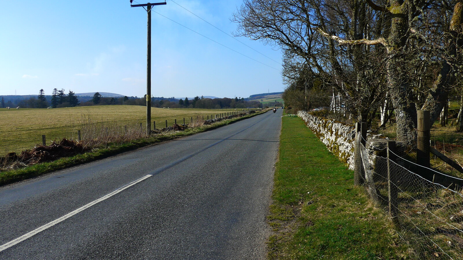
Photo: Gordon Brown / Wikimedia Commons / CC BY-SA 2.0 Both are Roman military sites in the Perthshire frontier landscape, preserving the network of forts and temporary camps around Ardoch.
-
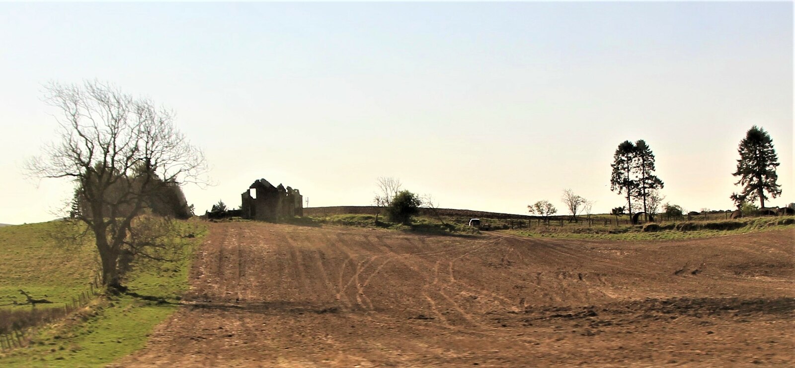
Photo: Alan Reid / Wikimedia Commons / CC BY-SA 2.0 The forts belong to the same Roman military landscape, showing how the road corridor was supported by successive defensive positions.
-
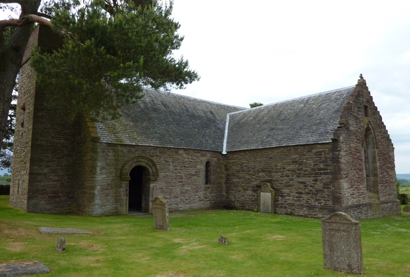
Photo: Otter / Wikimedia Commons / CC BY-SA 3.0 The Roman fort and later chapel represent successive uses of the Perthshire landscape for military and religious purposes.
Discovery & excavation
A hoard of Roman silver coins was found four miles north of the fort in 1671; archaeology later established a signal tower and at least six overlapping marching camps north and north-east of the fort.
What to look for
-
The five ditches
On the east and north sides of the later fort, the result of rebuilding inside two outer ditches that were already there.
-
The two intersecting forts
An earlier work associated with Agricola's first-century campaigns and a later one built across it.
-
The annexe
The field to the north is what remains of a large annexe attached to the fort.
-
The marching camps
At least six overlapping camps to the north and north-east, with a watchtower, established by archaeology rather than visible as structures.
What is said
Folklore and tradition, recorded as what is said — not as established fact.
-
A 1726 account said that a subterranean passage ran from Ardoch beneath the River Tay to Grinnin Hill and contained great treasure.
Plan your visit
- Location
- 56.2693°N · 3.8749°W
- Time needed
- About 45 minutes
Nearby places
Fortified place · Roman
Black Hill Roman Camps
Perth and Kinross
Two Roman camps within the extensive military complex centred on the fort at Ardoch.
- Some walking
Fortified place · Roman
Glenbank
Perth and Kinross
The Romans pulled it down themselves when they left. Aerial photography found it again in 1983.
- Near Dunblane
- Some walking
Building or ruin · Medieval
Tullibardine Chapel
Perth and Kinross
A large part of the chapel dates to 1446, when it was built by Sir David Murray, Baron of Tullibardine, of Tullibardine Castle, as a family chapel…
- Near Auchterarder
- 1 min walk from car park

Fortified place · Roman
Strageath
Perth and Kinross
One of the chain of forts along the Gask Ridge, and the name survives in three farms and a mill.
- Some walking
Questions people ask
- Why is Ardoch important?
- It is described as one of the most complete Roman camps in Britain and among the best-preserved series of Roman military earthworks anywhere in the Empire.
- How old is it?
- The earlier of the two intersecting forts is believed to date from Agricola's campaigns in the first century; the later fort was built across it.
- What can be seen?
- Grass-covered earthworks — most strikingly the five ditches that protect the later fort on its east and north sides.
Sources
The Ancient Codex, in your pocket
Get the Pocket Codex app
Carry the directory with you — Ardoch Roman Fort and thousands of ancient places across Britain and Ireland, offline, wherever you roam.