
Croy Hill is the Antonine Wall’s exceptional unditched sector, combining difficult geology, frontier forts, a bathhouse and rich religious finds.
Hard basalt and dolerite shape the story at Croy Hill, where the Antonine Wall crosses high ground near Croy. Here the Roman ditch in front of the rampart (the raised bank thrown up around a fortified enclosure) was never excavated, making this the only point along the Wall with that striking absence. Rather than a simple omission, the source links it to rock that was probably too difficult to cut with Roman tools, giving the surviving landscape an unusually direct relationship to construction constraints.
Croy Hill contained a Roman fort, fortlet and probable temporary camp, with a bathhouse outside one fort and two westward communication platforms called expansions. Excavations from 1890 onward recovered altars, a Jupiter Dolichenus relief, pottery, coins and a soldier’s gravestone. Located between Barr Hill and Westerwood, it makes a compact but revealing entry point into frontier infrastructure, religious practice, military material culture and the communities that may have clustered around the Wall.
What follows is drawn from published sources, with each claim labelled by how firmly it is established.
History
Croy Hill formed part of the Antonine Wall system, begun in AD 142, containing a Roman fort, fortlet and probable temporary camp. Its neighbouring forts were Barr Hill to the west and Westerwood to the east. That sequence matters because Croy was not a stand-alone garrison: it occupied a place in a connected frontier line, where sites, roads, signals and movement between installations mattered as much as the individual fortifications themselves.
At Croy Hill the Romans did not excavate the ditch normally found in front of the Wall’s rampart. This is the only place along the Antonine Wall where the ditch was not dug, probably because the hill’s hard basalt and dolerite were virtually impossible to shape with Roman tools. The feature turns local geology into historical evidence, showing that even a highly organized imperial building programme adapted to resistant terrain.
Excavation began with Alexander Park in 1890–91, followed by Sir George Macdonald’s work in 1920, 1931 and 1935. Finds included fragments of a Jupiter Dolichenus relief, altars dedicated to the Nymphs and Mars, a bronze arm purse, ash-filled storage jar, face-mask-jar fragment, coins, an axe and a soldier’s gravestone. These objects, now held with related material at the Hunterian Museum, reveal ritual and personal life alongside military infrastructure.
People
-
Sir George Macdonald
Excavated Croy Hill in 1920, 1931 and 1935 and published accounts of the site.
Cultural influences
-
Croy Hill formed part of the Antonine Wall system, where hard basalt and dolerite prevented the Romans from cutting the usual ditch before the rampart.
-
Hard basalt and dolerite shaped the Wall’s construction here, leaving its ditch unexcavated because the rock was likely too difficult for Roman tools.
Connections
-
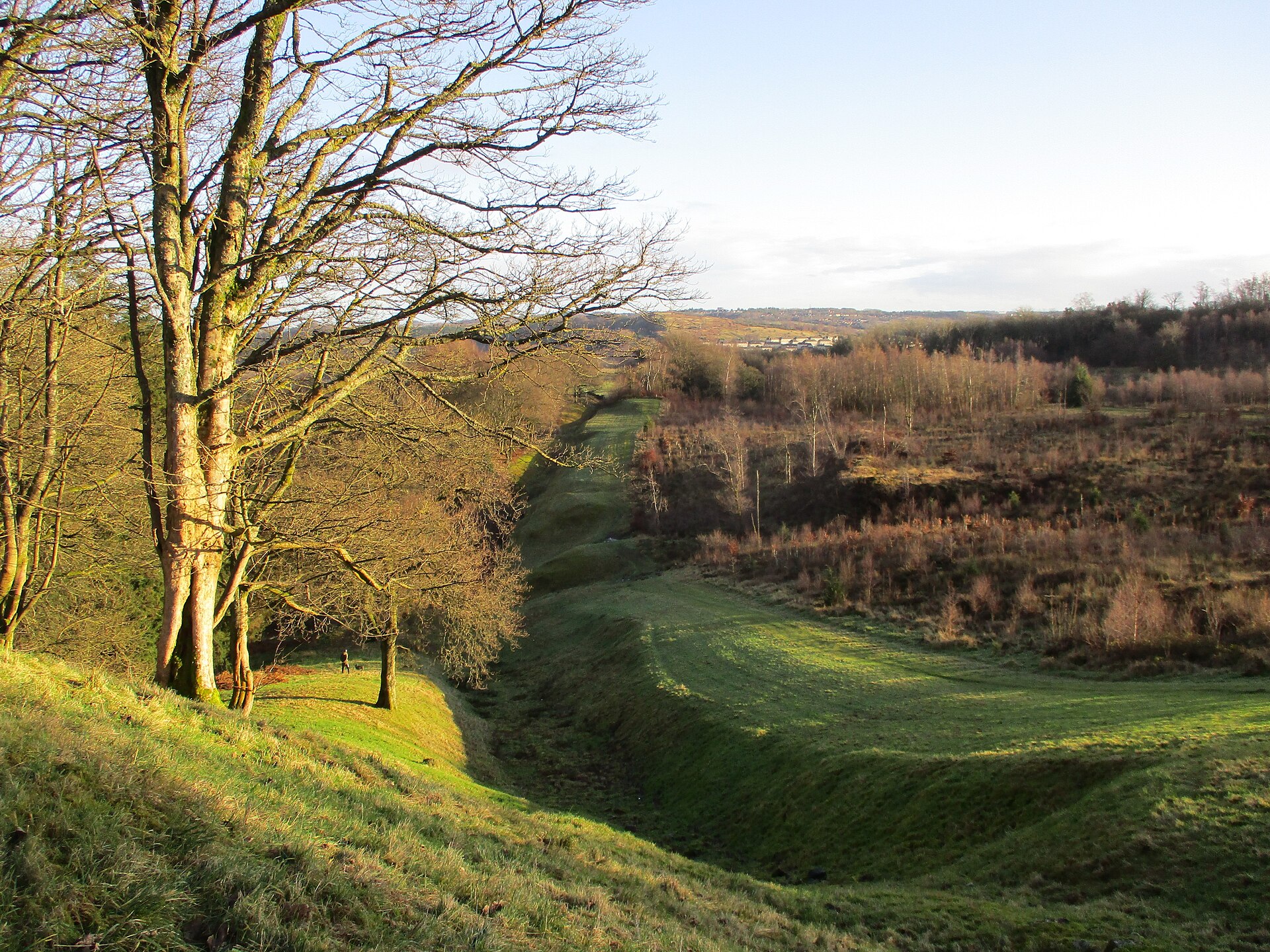
Photo: Alan O'Dowd / Wikimedia Commons / CC BY-SA 2.0 Croy Hill is one of the forts and fortlets built into the Antonine Wall frontier, where its hard basalt forced the line’s only undug ditch.
-
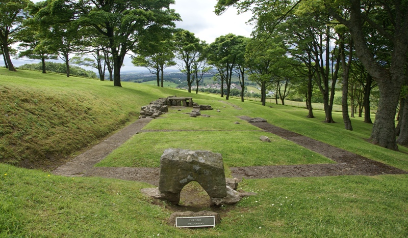
Photo: Otter / Wikimedia Commons / CC BY-SA 3.0 Bar Hill is the neighbouring Antonine Wall fort west of Croy; together with Westerwood to the east, it places Croy within the linked frontier garrison line.
-
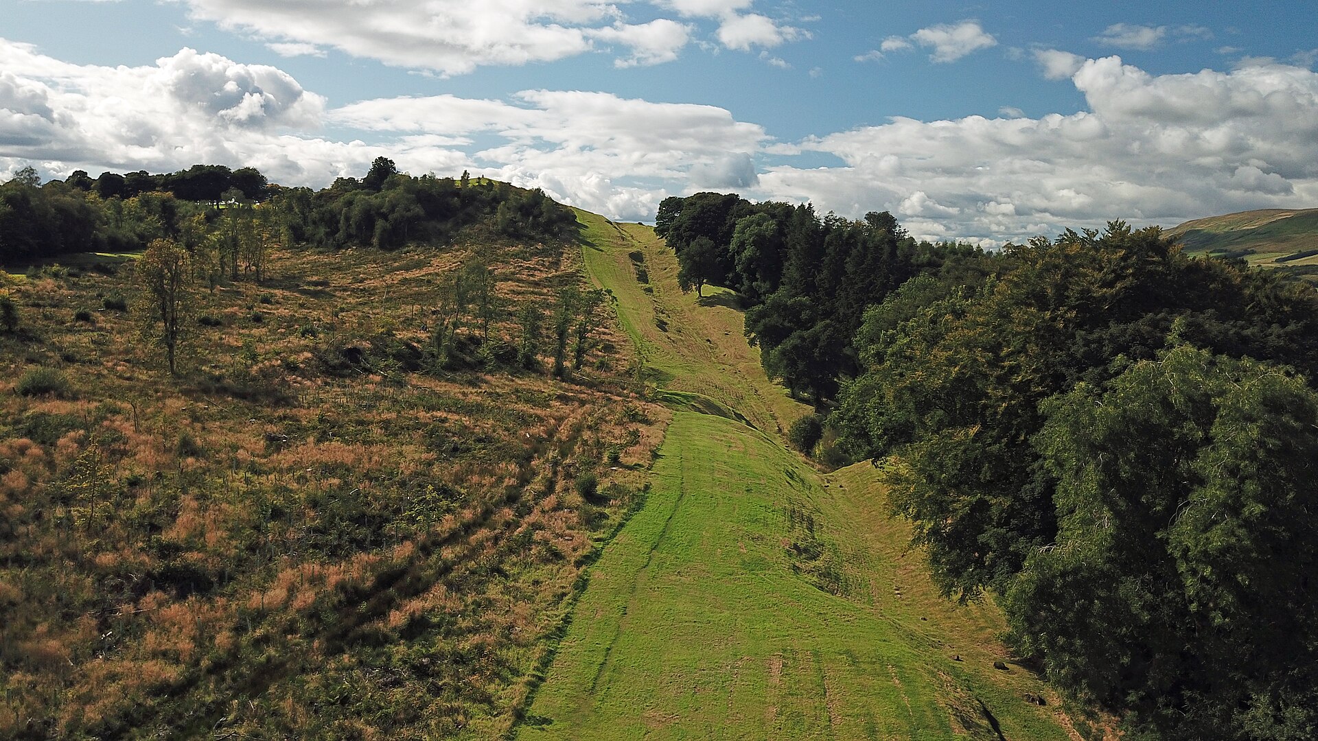
Photo: Gunther Tschuch / Wikimedia Commons / CC BY-SA 4.0 Croy and Auchendavy were both Antonine Wall forts with excavated extramural plots and bathhouses, evidence that garrison life extended beyond their defences.
Discovery & excavation
Excavations from 1890 onward recovered altars, a Jupiter Dolichenus relief, pottery, coins and a soldier’s gravestone.
In culture
-
Jupiter Dolichenus relief
A relief to the Roman military cult deity was among the archaeological finds from the Croy Hill fort complex.
What to look for
-
The missing ditch
Look for the missing ditch in front of the Antonine Wall rampart. Croy Hill is the only point on the Wall where the Romans did not cut this ditch, a distinctive feature the source relates to the hard basalt and dolerite of the hill.
-
The rock that stopped them
Take in the hill’s rock and slope as evidence, not merely scenery. The difficult ground likely shaped the Roman decision not to dig, making topography and construction technique inseparable at this site.
-
The expansions
Locate the two communication platforms, or “expansions,” west of the fortlet. Their presence points to the operational dimension of the frontier and makes the Wall more than a continuous barrier.
-
The bathhouse
Look for the relationship between the fortifications and the bathhouse outside one fort. This placement adds everyday routines of washing and heating to the military story and shows that the site extended beyond walls and ramparts.
-
The forts either side
Use the location between Barr Hill and Westerwood to read Croy as part of a linked Antonine Wall sequence. The neighbouring forts make a useful frame for understanding movement and mutual visibility along this stretch of frontier.
Plan your visit
- Location
- 55.9644°N · 4.0323°W
- Time needed
- About 60 minutes
Nearby places
Fortified place · Roman
Antonine Wall
East Dunbartonshire
The Antonine Wall was Rome’s short-lived northern frontier, joining nineteen forts to carved distance slabs whose paint, imagery and military messa…
- Near Kirkintilloch
Fortified place · Roman
Bar Hill Fort
East Dunbartonshire
Bar Hill’s fort, bathhouse and deep well preserve unusually direct evidence of Antonine Wall garrison life, including shoes that may point to women…
Fortified place · Roman
Auchendavy
East Dunbartonshire
Auchendavy was an Antonine Wall fort with an exceptional concentration of inscriptions, altars and military finds, despite severe damage from the F…
- Near Kirkintilloch
- Some walking
Fortified place · Roman
Castlecary Roman fort
Falkirk
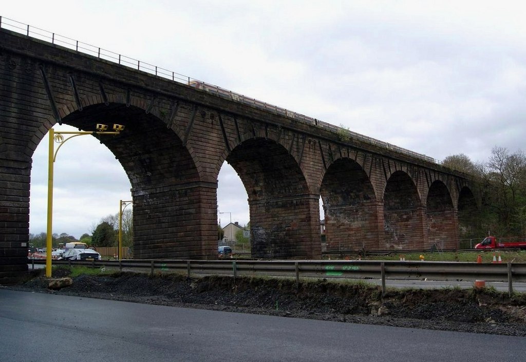
Castlecary Roman Fort anchors an Antonine Wall landscape where archaeological finds: altars, a bathhouse, children’s shoes and military inscription…
- Some walking
The setting
Near Croy Hill, about 16 metres away.
Photo: Euan Nelson / Wikimedia Commons / CC BY-SA 2.0
Near Croy Hill, about 56 metres away.
Photo: Alec MacKinnon / Wikimedia Commons / CC BY-SA 2.0
Near Croy Hill, about 65 metres away.
Photo: Texas Radio and The Big Beat / Wikimedia Commons / CC BY-SA 2.0
Near Croy Hill, about 87 metres away.
Photo: Alan O'Dowd / Wikimedia Commons / CC BY-SA 2.0
Questions people ask
- Why is Croy Hill unusual on the Antonine Wall?
- It is the only place along the Wall where the Romans did not excavate the ditch in front of the rampart. The hill’s hard basalt and dolerite is thought to have made digging impractical.
- What Roman structures were at Croy Hill?
- The site included a Roman fort, fortlet and probable temporary camp. A bathhouse lay outside one fort, and two communication platforms known as expansions are west of the fortlet.
- What finds came from Croy Hill?
- Finds included religious objects associated with Jupiter Dolichenus, the Nymphs and Mars, plus a bronze arm purse, pottery, coins, an axe and a soldier’s gravestone.
Sources
The Ancient Codex, in your pocket
Get the Pocket Codex app
Carry the directory with you — Croy Hill and thousands of ancient places across Britain and Ireland, offline, wherever you roam.