
A Roman fortress whose longest day Ptolemy recorded as 18.5 hours, one of only four such observations he held from Britain.
The longest day at Pinnata Castra was 18.5 hours, against 17 at London. That figure is one of only four sets of astronomical observations Ptolemy had from Britain, and it makes this the most northerly point at which anyone took a reading for his second-century Geography — probably the furthest limit of Agricola’s advance, from whose campaign Ptolemy’s British data is thought to descend. What the figure does not do is say where the place was. Ptolemy called it Πτερωτον Στρατοπεδον, the winged camp, listed it as a town of the Vacomagi, and gave coordinates that put it on the Moray coast; his name survives in Latin as Pinnata Castra and in the Ravenna Cosmography as Pinnatis. Everything else about it, including whether it was a Roman work or a native stronghold, is argued over.
What follows is drawn from published sources, with each claim labelled by how firmly it is established.
The name
Ptolemy’s Greek Pteroton Stratopedon means “winged camp”; later Latin forms include Pinnata Castra and Alata Castra.
History
Ptolemy set down the name in Greek as Πτερωτον Στρατοπεδον, Pteroton Stratopedon, meaning winged camp. It has been turned back into Latin as Pinnata Castra, and sometimes as Alata Castra, while the Ravenna Cosmography gives it in the locative case as Pinnatis. Ptolemy's second-century Geography lists it as one of four places belonging to the Vacomagi, and calls it a polis, a town. Whether the place was a native stronghold or a Roman work is not settled. The Romans preferred to put their sites near established native centres and to name them after the earlier settlement, and no purely native settlement is known to have been named by Ptolemy in southern Britain, though such settlements are listed in Ireland, which Rome never occupied. Most Roman sites in the north were temporary marching camps rather than permanent forts, and camps were not usually named — though a camp marked out as the site of a future fort might have been an exception.
Where the place actually stood has been argued over for a century. Burghead in Moray has most often been proposed. In 1922 the archaeologist Ian Richmond argued instead for the Roman legionary fortress at Inchtuthil, north of Perth, which he excavated; his case rested on the place name and on his belief that the fortress had been built with merlons — the raised sections between the gaps of a battlement — which he rendered into Latin as pinnae. O. G. S. Crawford supported the identification in 1949, and it remains the one given by the Royal Commission on the Ancient and Historical Monuments of Scotland.
Later scholars have rejected the Inchtuthil identification. Ptolemy's coordinates place Pinnata Castra on the Moray coast, and both he and the Ravenna Cosmography put it near Tuesis, generally taken to be the River Spey. Plotting the sites in the Geography whose positions are known, and deriving the unknown ones from their relative positions, points to somewhere just east of Burghead. A predecessor of the later Pictish fort at Burghead itself remains a strong candidate; other suggestions have included Inverness, the possible Roman camps at Thomshill near Elgin and Balnageith near Forres, Cluny Hill in Forres, and a site now lost within the Culbin Sands.
Pinnata Castra was one of only four places in Britain from which Ptolemy had astronomical observations. Its longest day was recorded at 18.5 hours against the 17 hours given for London, which makes it the most northerly point at which readings were taken. As the northernmost polis on his list it probably marks the limit of Agricola's advance, since Ptolemy's data for Britain is thought to derive ultimately from that campaign.
People
-
Ptolemy
Recorded Pteroton Stratopedon in his second-century Geography as one of the places of the Vacomagi.
-
Ian Richmond
Argued in 1922 that the name referred to the Roman fortress at Inchtuthil.
-
O. G. S. Crawford
Supported Richmond’s Inchtuthil identification in 1949.
Cultural influences
-
Its recorded position and exceptionally long summer day make it a rare northern reference point in Ptolemy’s mapping of Britain.
Connections
-
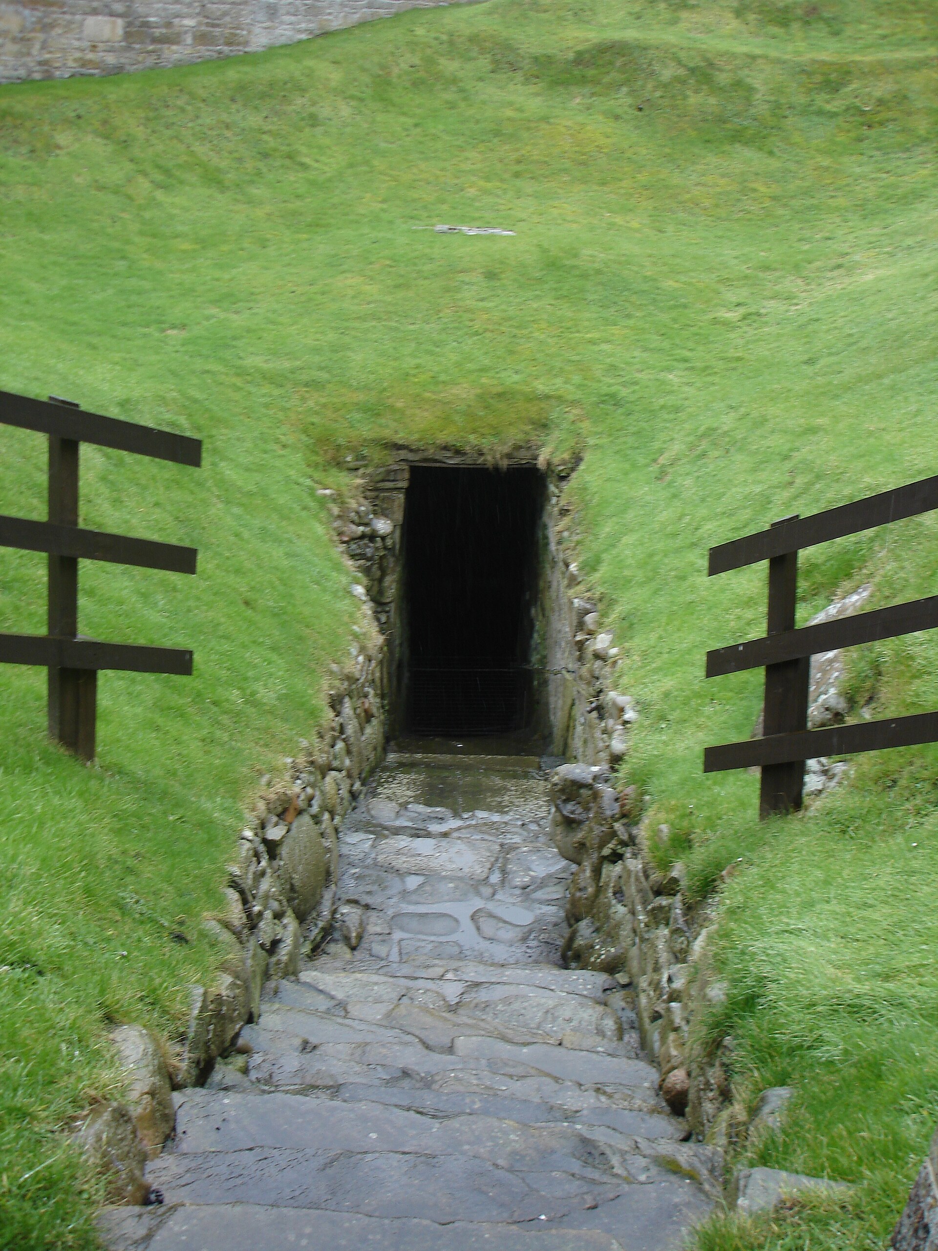
Photo: Calgacus / Wikimedia Commons / CC BY-SA 3.0 A precursor of the Pictish fort at Burghead is the leading candidate for Pinnata Castra, and Ptolemy's coordinates point just east of it.
-

Photo: The original uploader was Ameins at German Wikipedia. / Wikimedia Commons / CC BY-SA 3.0 River Spey
Ptolemy and the Ravenna Cosmography both place Pinnata Castra near Tuesis, generally identified with the Spey.
What to look for
-
A disputed location
There is no agreed monument to inspect: proposed locations range from Burghead and the Spey coast to Inchtuthil and several other lost or hypothetical sites.
Plan your visit
- Location
- 57.7017°N · 3.4821°W
- Time needed
- About 45 minutes
Nearby places
Fortified place · Iron Age
Burghead Fort
Moray
At roughly three times the size of any other early medieval (roughly AD 400–1100, between the Romans and the Normans) enclosed site in Scotland, th…
- Near Burghead
- 30 metres from car park
- Some walking

Fortified place · Medieval
Duffus Castle
Moray
Its stone tower still leans bodily off the earthen motte it was built on, frozen mid-collapse: a rare, visible lesson in why timber-age mounds made…
- Near Elgin
Minor monument · Medieval
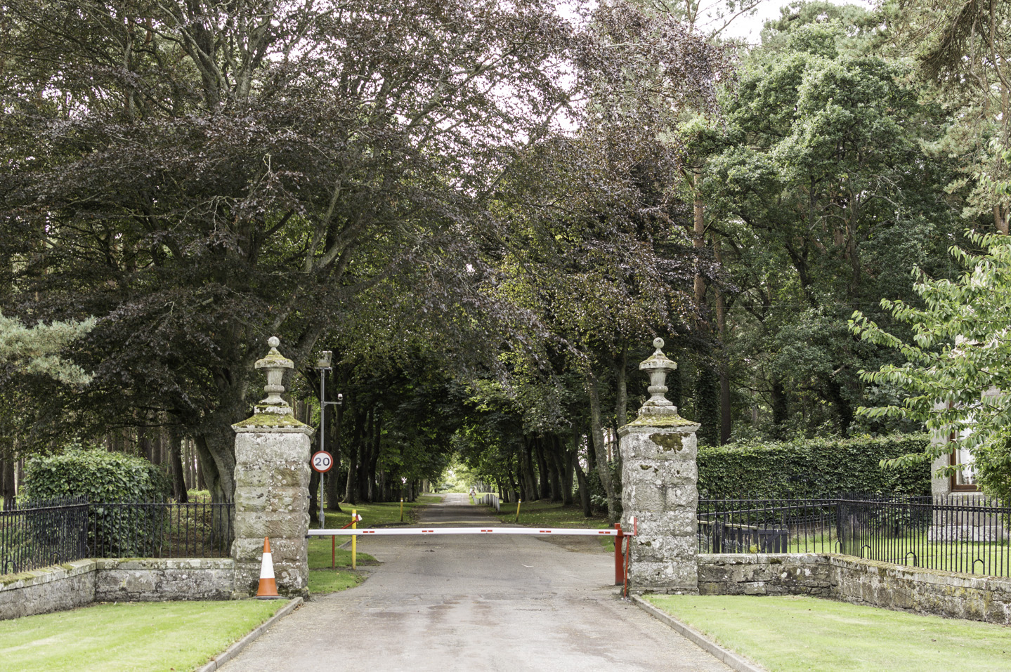
Ogston Market Cross, Michael Kirk, Gordonstoun
Moray
An incised hammer mark and a hole probably cut for the jougs: the iron collar in which offenders were chained: survive on a cross now standing in a…
- Near Elgin
- Easy path
Sacred place · Prehistoric
Knock of Alves
Moray
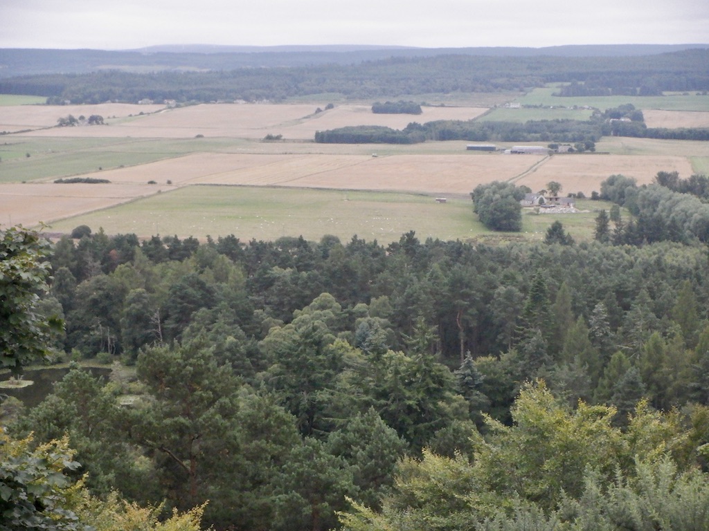
Six weathered boulders share a wooded hill with a much larger, older stronghold, one refortified deep into the Pictish (of the Picts, the people of…
- Near Elgin
- Some walking
Questions people ask
- Why is Inchtuthil / Castra Pinnata significant?
- Pinnata Castra was one of only four places in Britain from which Ptolemy had astronomical readings, and its longest day of 18.5 hours marks the northernmost point he recorded.
- What should a reader focus on?
- The competing candidate sites: Burghead on the Moray coast, the legionary fortress at Inchtuthil, and the lesser proposals at Thomshill, Balnageith, Cluny Hill and the lost site in the Culbin Sands.
- How certain is the interpretation?
- The name and Ptolemy's coordinates are firm; the location is not. Richmond's 1922 identification with Inchtuthil is still the one given by RCAHMS but has been rejected by later scholars.
Sources
- Crawford, O. G. S. (2011, first published 1949). Topography of Roman Scotland — North of the Antonine Wall. Cambridge University Press. ISBN 9781107684737
- Conquest, Robert (2000). A Note on the Civitas and Polis Names of Scotland — An Alternative Approach. Britannia 31, 347 to 350
- Wikipedia: Inchtuthil / Castra Pinnata
- Wikipedia: Inchtuthil / Castra Pinnata
Explore more: Fortified places · Roman · Moray
The Ancient Codex, in your pocket
Get the Pocket Codex app
Carry the directory with you — Inchtuthil / Castra Pinnata and thousands of ancient places across Britain and Ireland, offline, wherever you roam.