
At roughly three times the size of any other early medieval (roughly AD 400–1100, between the Romans and the Normans) enclosed site in Scotland, this was probably the seat of Fortriu's kings, and its carved bulls remain unmatched in early medieval art.
Beneath the streets and harbour of a small Moray fishing town lies one of the most powerful places in early medieval Scotland. Massive ramparts of stone and timber once cut off the headland here, enclosing an area so large that no other fortified Pictish (of the Picts, the people of northern and eastern Scotland from about AD 300 to 900) site comes close to matching it. Within its walls stood halls, dwellings and a settlement large enough to support a royal court, its livestock, and, most likely, a fleet.
Few visitors realise how much has been lost. When Burghead’s harbour and town were rebuilt in the early 19th century, workmen dismantled great stretches of the ramparts and unknowingly destroyed one of the richest Pictish power centres ever built, only pausing to note the discovery of dozens of carved stone bulls before many were built into the new harbour wall. What survives today are steep grassy banks, the rock-cut chamber of a mysterious well, and a handful of the surviving bull carvings, some now scattered as far as London and Edinburgh.
Archaeology and later excavation have restored much of what the town’s rebuilding erased. Radiocarbon dating, timber-framed wall foundations, and a Roman-era coin found on site all point to a place with a long and layered history, reoccupied and refortified across centuries, and abandoned only after Viking raids devastated the kingdom it served.
What follows is drawn from published sources, with each claim labelled by how firmly it is established.
The name
The Pictish name for the site was never recorded, and it does not appear in any surviving annal, but scholars have suggested it may be the Pinnata Castra named in Ptolemy's 2nd-century Geography, a Roman-era description of Britain.
History
The earliest defences on the headland may date to the Iron Age, but radiocarbon dating shows the main stone-and-timber walls were built in the early historic period, possibly as early as the late 3rd century. The layout followed a style common across late Iron Age Britain and France, suggesting the Picts reoccupied and reinforced an older stronghold rather than building on entirely virgin ground.
During the 6th or 7th centuries the fortifications were substantially refurbished, by which time the site had become one of the principal power centres of the Pictish kingdom of Fortriu. Two separate enclosures, an upper citadel and a larger lower court, had no gateway linking them directly, implying a strict hierarchy between a royal household above and a wider settlement below.
Between the 4th and 8th centuries the fort likely served as an important naval base for Pictish forces, its sheltered anchorage well suited to shipping. Evidence of livestock pens and building foundations within the lower enclosure points to a working settlement supplying the ruler's retinue, while the citadel above probably held a royal hall and residence.
By the 8th century a chapel had been built within the fort, and Christian cross fragments and an early shrine found nearby, along with stones carved around AD 800 in Burghead's churchyard, show the old pagan centre had absorbed a Christian presence. Older beliefs persisted alongside it: the underground well and a Celtic stone head found inside it have been linked to a pagan water cult, and the carved bulls to a warrior cult of strength.
Carved in the 5th century or later, up to thirty stone panels bearing images of bulls were set into the ramparts, probably as a frieze, and their naturalism is unmatched anywhere in early medieval art. Their sheer number and quality mark Burghead out as an exceptionally important royal centre in its day. No evidence of occupation survives at the fort after the 9th century, a period that coincides with entries in the Annals of Ulster recording devastating Norse raids on the kingdom of Fortriu. The site's abandonment appears to track the kingdom's own collapse under Viking pressure.
The fort's ramparts were largely destroyed in the early 19th century when Burghead's harbour and town were rebuilt, though its layout had already been recorded in a plan drawn by William Roy and published posthumously in 1793. Excavations in the 1890s uncovered a paved roadway through the fort, and a 1969 excavation of the upper enclosure's western wall found it originally up to 6 metres high, with an 8-metre-thick base built around a timber frame fixed with giant iron spikes.
Cultural influences
-
The headland fort was a major Pictish centre, large enough to support a royal court and associated settlement.
Connections
-

Photo: Walter Baxter / Wikimedia Commons / CC BY-SA 2.0 Kinneddar
A major Pictish religious centre roughly 13 kilometres east of Burghead, thought to have had a significant relationship with the fort's secular power base.
-

Photo: Russel Wills / Wikimedia Commons / CC BY-SA 2.0 Portmahomack
A Pictish monastic and religious site visible from Burghead across the Moray Firth, likely connected to it as a fellow centre of Pictish religious life.
-
National Museum of Scotland, Edinburgh
Holds one of the surviving Burghead Bull carvings recovered before the site's 19th-century destruction.
-
British Museum, London
Holds one of the six surviving Burghead Bull carvings.
-
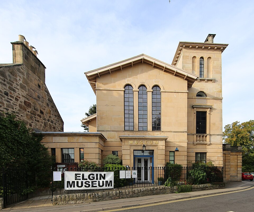
Photo: Geni / Wikimedia Commons / CC BY-SA 4.0 Elgin Museum
Holds two of the six surviving Burghead Bull carvings.
Discovery & excavation
Most of what is known of the fort's original layout comes from a plan drawn by military surveyor William Roy, published posthumously in 1793, made before the site's near-total destruction during the harbour rebuilding of the early 19th century. That rebuilding work itself, though destructive, revealed up to thirty carved bull stones. Later archaeological investigation added detail: excavations in the 1890s uncovered a paved roadway, and a 1969 excavation of the upper enclosure's western wall revealed its massive timber-and-stone construction technique.
Finds now held at: Burghead visitor centre; Elgin Museum; National Museum of Scotland, Edinburgh; British Museum, London.
In culture
-
Burghead bulls
Carved Pictish bull stones found during nineteenth-century rebuilding survive in collections in Burghead, London and Edinburgh.
What to look for
-
Sections of the inner ramparts
Parts of the fort's inner ramparts still stand up to 3 metres (9.8 feet) high, giving a sense of the scale of the original defences.
-
Doorie Hill
A small surviving section of the innermost outer rampart, now known as Doorie Hill, is the site of the annual Burning of the Clavie fire festival.
-
The underground well
A rock-cut chamber housing a well can still be visited, and was the find-spot of a carved Celtic stone head.
-
Burghead Bulls at the visitor centre
Two of the surviving carved bull stones are displayed locally at the Burghead visitor centre, alongside other Pictish sculpture from the site.
What is said
Folklore and tradition, recorded as what is said — not as established fact.
-
The Burning of the Clavie
The annual fire festival still held in Burghead, in which a burning tar barrel is carried through the town, has been suggested by some historians to be a survival of a pagan fire festival once associated with the fort, though this connection cannot be proven.
-
The pagan water cult
The underground, rock-cut well within the fort is thought by some to have been the focus of a pagan water cult, a reading reinforced by the discovery of a carved Celtic stone head inside it during the 19th century.
Plan your visit
- Location
- 57.7032°N · 3.4967°W
- Nearest settlement
- Burghead
- Access
- Visible from a public way
- Terrain
- Moderate walking
- Best time
- Daylight for the surviving grassy banks and the chambered well.
- What survives
- Most ramparts were dismantled during nineteenth-century harbour and town rebuilding; grassy banks, the rock-cut well and surviving bull carvings remain.
- Start point
- Burghead promontory car park (near the Pictish Well and visitor centre) — The fort is largely built over by the modern town of Burghead; parking and the visitor centre (with two of the Burghead Bulls) are on the promontory. This is a public town amenity, not the monument's protected core.
Nearby places
Fortified place · Roman
Inchtuthil / Castra Pinnata
Moray
A Roman fortress whose longest day Ptolemy recorded as 18.5 hours, one of only four such observations he held from Britain.

Fortified place · Medieval
Duffus Castle
Moray
Its stone tower still leans bodily off the earthen motte it was built on, frozen mid-collapse: a rare, visible lesson in why timber-age mounds made…
- Near Elgin
Sacred place · Prehistoric
Knock of Alves
Moray
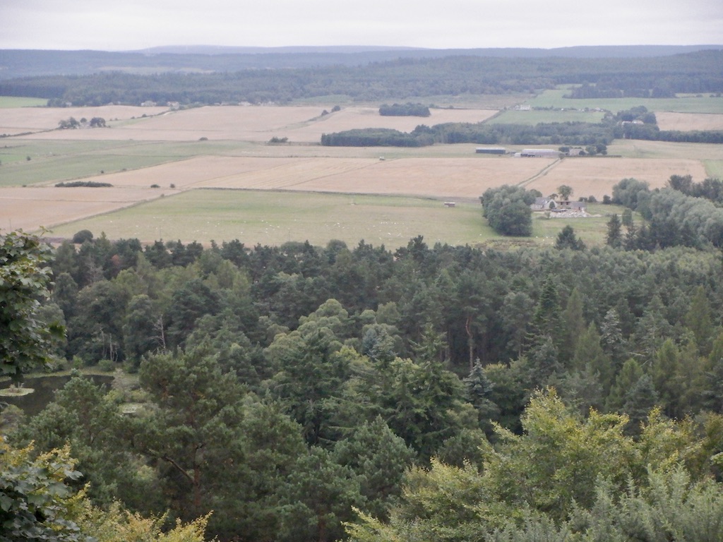
Six weathered boulders share a wooded hill with a much larger, older stronghold, one refortified deep into the Pictish (of the Picts, the people of…
- Near Elgin
- Some walking
Minor monument · Medieval
Ogston Market Cross, Michael Kirk, Gordonstoun
Moray
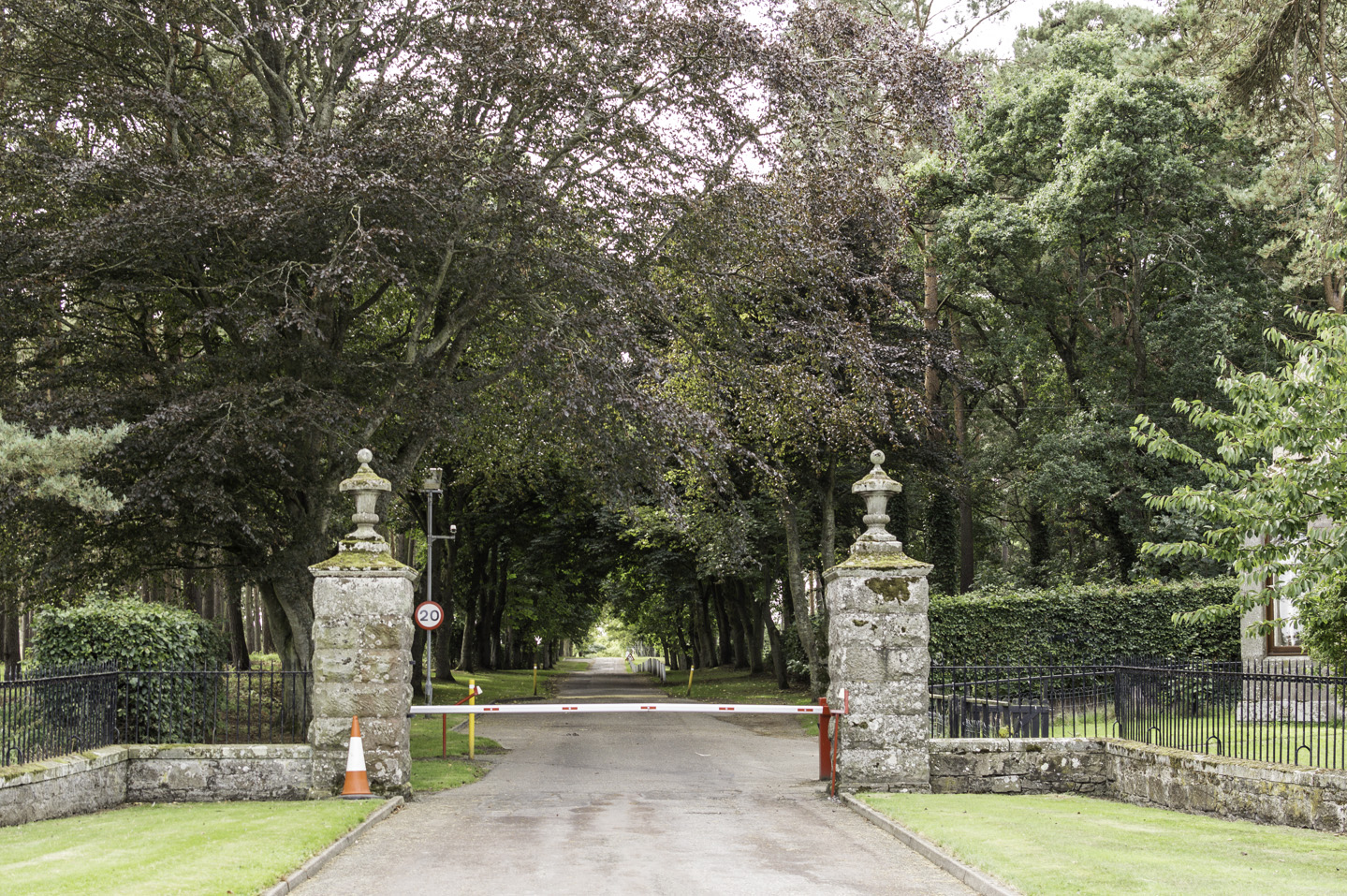
An incised hammer mark and a hole probably cut for the jougs: the iron collar in which offenders were chained: survive on a cross now standing in a…
- Near Elgin
- Easy path
Questions people ask
- What was Burghead Fort?
- A Pictish promontory fort in Moray, probably the main power centre of the Pictish kingdom of Fortriu, and roughly three times the size of any comparable enclosed site in early medieval Scotland.
- Why is so little of the fort visible today?
- Most of its ramparts were destroyed in the early 19th century when Burghead's harbour and town were rebuilt, though William Roy's 1793 plan recorded its original layout beforehand.
- What are the Burghead Bulls?
- Carved stone panels showing bulls, dated to the 5th century or later, found during the fort's destruction; only six of up to thirty survive, held in Burghead, Elgin, Edinburgh and London.
- When was the fort abandoned?
- No evidence of occupation survives after the 9th century, a period matching Annals of Ulster records of devastating Norse raids on the kingdom of Fortriu.
- Can visitors still see original features of the fort?
- Yes — sections of the inner ramparts up to 3 metres high, the Doorie Hill rampart remnant, and the underground ritual well can all be visited, alongside carvings at the local visitor centre.
Sources
- Wikipedia: Burghead Fort
- Historic Environment Scotland — Canmore
- Driscoll, Stephen T., "Burghead", in The Oxford Companion to Scottish History (Oxford University Press, 2007)
- Konstam, Angus, Strongholds of the Picts: The Fortifications of Dark Age Scotland (Osprey Publishing, 2010)
Explore more: Fortified places · Iron Age · Moray
The Ancient Codex, in your pocket
Get the Pocket Codex app
Carry the directory with you — Burghead Fort and thousands of ancient places across Britain and Ireland, offline, wherever you roam.