
A stone roundhouse dating from the centuries before Rome arrived that Clan MacKinnon later refitted as its own stronghold, so the ruin carries two histories stacked in the same walls.
A doorway nearly six feet high still frames the way into the ruin at Dun Ringill, cut through a thick stone wall on a rise above Loch Slapin on Skye’s Strathaird peninsula. The stonework that survives today rises about four metres and runs some sixteen metres along each side, with a ditch tracing the outside of the wall and two stone-and-earth ramps sloping down toward the shore, evidence of a time when boats, not roads, connected this part of Skye to the wider world.
What looks at first like a single ruin is in fact two buildings in one shell. The original structure follows the layout of a broch, a form of complex round tower built around the turn of the first millennium, and inside its walls stand the footings of two rectangular buildings, a shape that has nothing to do with the round broch tradition and everything to do with later medieval habitation. Local tradition holds that Clan MacKinnon made this their clan seat, and whoever rebuilt the interior into rectangular rooms was adapting an already-ancient fort to a very different way of living.
Outside the wall, a further stone enclosure and the buried remains of other buildings suggest a small working settlement rather than an isolated tower, its outlines now softened by vegetation and grazing.
What follows is drawn from published sources, with each claim labelled by how firmly it is established.
The name
The name combines the Gaelic dùn, meaning fort, with Ringill, understood to mean 'point of the ravine', describing the site's position above a steep-sided approach to Loch Slapin.
History
The core structure at Dun Ringill was raised in the early centuries of the first millennium AD, when broch-building communities across the Atlantic coast of Scotland were putting up complex stone roundhouses combining thick walls, internal galleries and a single defensible entrance. Dun Ringill's builders chose a shoreline rise above Loch Slapin, giving the tower command of the water approach at a time when boats were the main means of travel through this part of Skye.
Through the centuries that followed, the site was not abandoned but steadily altered, with successive occupants modifying both the main structure and a scatter of subordinate buildings around it. A site survey has since identified the remains of these additional structures in the immediate vicinity, though their exact age cannot be fixed; their construction and use most likely span the long stretch of the fort's occupied history rather than any single period.
Tradition holds that Clan MacKinnon had already made Dun Ringill their seat well before the 16th century, and it is thought likely the clan was established there by 1360, using the old broch as the core of a working stronghold. Around the fort, the MacKinnons also raised a small farming township, turning what had been a defensive tower into the centre of a settled landholding.
By the 16th century the site was being recorded in historical texts under the name Castle Findnaus, confirming its continued use as a fortified residence long after its Iron Age origins. The rectangular buildings still visible inside the walls likely belong to this phase of MacKinnon occupation, when the interior was reworked to suit domestic life rather than the broch's original round form.
At some point in the 16th century the MacKinnons shifted their principal seat away from Dun Ringill to Dunakin, near present-day Kyleakin, leaving the older stronghold on Loch Slapin in reduced use. The move marks the point at which Dun Ringill ceased to be the clan's main residence, even as the surrounding township and outbuildings appear to have remained in some use. Occupation of the wider site, including the buildings around the main structure, is thought to have continued in some form until the 19th century, making Dun Ringill one of the longer continuously used defensive and settlement sites on this stretch of Skye's coast.
Connections
-
Dunakin (Castle Moil, Kyleakin)
Clan MacKinnon moved their principal seat from Dun Ringill to Dunakin by the 16th century, making it the site's historical successor as the clan's main stronghold.
-
Clan MacKinnon
Tradition holds Dun Ringill served as the clan's seat for several centuries before the seat transferred elsewhere.
-
Kilmarie House
Jethro Tull frontman Ian Anderson lived at Kilmarie House, within walking distance of Dun Ringill, while writing the song named after the site.
Discovery & excavation
A site survey around Dun Ringill identified the remains of further buildings beyond the main structure and its enclosing wall, though their precise age has not been established. The remains of the outer stone wall itself are now largely hidden by vegetation, and the survey's findings point to a settlement of more than one building rather than a single isolated tower.
In culture
-
"Dun Ringill", Jethro Tull, Stormwatch (1979)
Jethro Tull recorded a song titled "Dun Ringill" on their 1979 album Stormwatch. Written by band leader Ian Anderson, who lived nearby at Kilmarie House at the time, the lyrics call for a meeting at the fort during the small hours of a stormy night.
What to look for
-
The landward doorway
A doorway roughly 1.8 metres (five feet eleven inches) high, facing inland, forms the main entrance through the thick stone wall into the centre of the structure.
-
The encircling ditch and ramps
A ditch follows the outer face of the wall, while stone-and-earth ramps descend on either side of the structure toward the shore of Loch Slapin, marking the old route down to the water.
-
Interior rectangular buildings
Inside the broch's outer wall stand the footings of two rectangular buildings, each about 4.5 by 2.4 metres, evidence of later medieval remodelling within the older round structure.
-
The outer enclosure wall
A stone wall foundation, now largely covered by vegetation, encloses ground adjacent to the main structure and is thought to have served as a defensive perimeter and livestock enclosure.
What is said
Folklore and tradition, recorded as what is said — not as established fact.
-
Seat of Clan MacKinnon
Tradition holds that Dun Ringill was the seat of Clan MacKinnon for several centuries before the clan is thought to have been established there, with 1360 suggested as a likely date, though the fort's use before written record cannot be confirmed with certainty.
Plan your visit
- Location
- 57.1792°N · 6.0378°W
- Nearest settlement
- Inverness
- Access
- Open access
- Terrain
- Moderate walking
- Time needed
- About 45 minutes
Opening & admission
- Coastal Skye ruin east of Kirkibost; source describes setting but not formal access.
Nearby places

Building or ruin · Medieval
Dunscaith Castle
Highland
Its name comes not from a clan or a king but from Scáthach, the legendary warrior-woman said to have trained the Irish hero Cú Chulainn in the arts…
- Near Inverness

Fortified place · Medieval
Armadale Castle
Highland
A Tudor-Gothic mock-castle built purely for show now stands roofless and abandoned, and in 2025 its entire estate went up for private sale.
- Near Armadale
Tomb or burial place · Prehistoric
Rubha an Dùnain
Highland
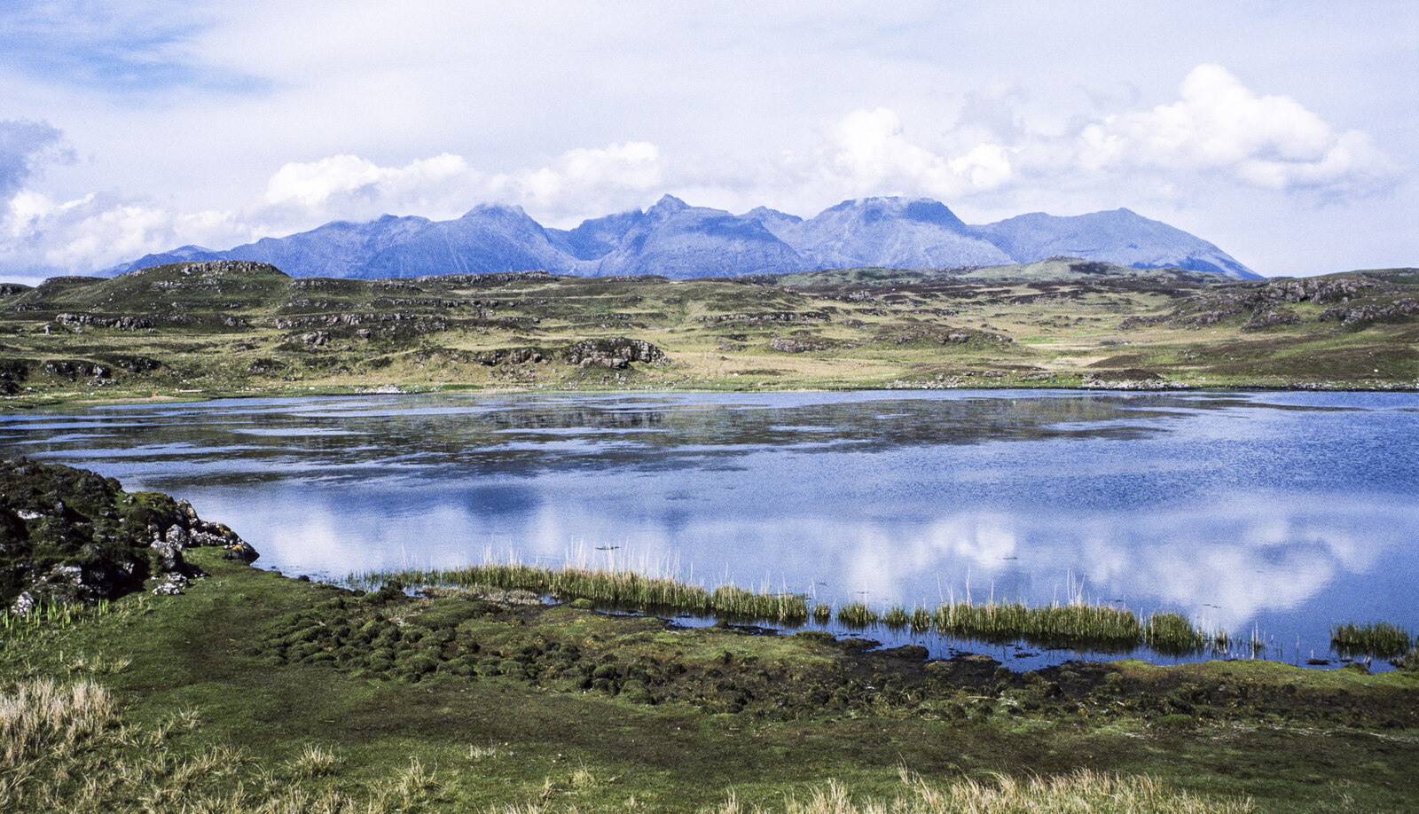
A Neolithic chambered cairn shares this remote headland with an Iron Age dun and a rare medieval boat harbour: one of Skye's most densely layered a…
- Rough ground
Fortified place · Iron Age
Dun Telve
Highland
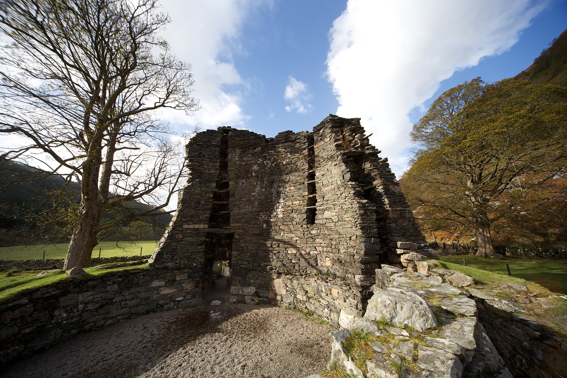
Its drystone wall still rises over ten metres without a scrap of mortar, making Dun Telve one of the tallest surviving brochs anywhere in Scotland.
- Near Inverness
- Easy path
The setting
Near Dun Ringill, about 39 metres away.
Photo: Ian Taylor / Wikimedia Commons / CC BY-SA 2.0
Near Dun Ringill, about 110 metres away.
Photo: Ian Taylor / Wikimedia Commons / CC BY-SA 2.0
Questions people ask
- What type of structure is Dun Ringill?
- It is an Iron Age broch, a form of complex stone roundhouse, later reoccupied and remodelled with rectangular buildings in the medieval period.
- Did Clan MacKinnon really use Dun Ringill as their seat?
- Tradition holds that it served as the MacKinnon clan seat for several centuries, likely from around 1360, before the clan moved to Dunakin by the 16th century.
- How big is the structure that survives today?
- The ruin stands about 4 metres high and measures around 16 metres along each side, with a ditch running along the outer wall.
- What is the connection to Jethro Tull?
- The band recorded a song called "Dun Ringill" on their 1979 album Stormwatch, written by Ian Anderson, who lived nearby at Kilmarie House.
- Where is Dun Ringill located?
- It sits on the Strathaird peninsula on Skye, east of Kirkibost on the west shore of Loch Slapin.
Sources
- Wikipedia: Dun Ringill
- Wikidata: Dun Ringill
- The Medieval Castles of Skye and Lochalsh, Miket, R. and Roberts, D., Birlinn Limited, 2007
- Scotland: An Oxford Archaeological Guide, Oxford University Press, 1998
- Scotland Blue Guide, A&C Black, London, 12th Edition, 2001
Explore more: Fortified places · Iron Age · Highland
The Ancient Codex, in your pocket
Get the Pocket Codex app
Carry the directory with you — Dun Ringill and thousands of ancient places across Britain and Ireland, offline, wherever you roam.