
Never excavated and only waist-high in places, its walls, annexe, ditch and outer defence still trace a complete Iron Age (roughly 800 BC until the Roman conquest) homestead exactly as it was left.
A ring of tumbled stone, roughly eight and a half metres round, sits half-choked with rubble and blown sand near the mouth of the Naver in Sutherland. What remains standing rises barely a metre, though the wall core beneath the collapse is some four metres thick — proof of a structure once built to last far longer than its surviving remnant suggests. This is Baile Mhargaite, known as often by its English names, the Sandy Dun or Invernaver Broch, as by its Gaelic one.
A small stone building, about eight metres by five, was added against the broch’s western side, and beyond that a ditch cut into the natural ground once formed part of the site’s defences. Where the ditch does not reach, steep rock slopes take over on the other three sides, so that the whole circuit — wall, annexe, ditch and slope — reads as one deliberately closed perimeter rather than a scatter of unrelated stonework. Traces of a further outer wall survive on the west side too, though its poor condition makes it hard to judge how substantial that outer line once was.
No one has ever put a trench into the broch, and no artefact has ever been recovered from it. What stands today is therefore the whole of the surviving record: a partly exposed lintel slab near the west wall, hinting at where the entrance may once have been, a short run of foundation stones to its north, and the rubble-filled shell of the tower itself.
What follows is drawn from published sources, with each claim labelled by how firmly it is established.
The name
The site carries several names side by side — Baile Mhargaite in Gaelic, Lochan Druim An Duin as an alternative Gaelic form, and Sandy Dun or Invernaver Broch in English description. 'Dun' is a Gaelic term used widely across Scotland for a fortified stronghold, and its use here marks the site as a defended dwelling rather than a settlement of any wider extent.
History
During the Iron Age, builders raised a broch — a drystone defensive tower of a type found across northern and western Scotland — on ground above the Naver estuary in Strathnaver. They set its wall some four metres thick, gave it a circumference of around eight and a half metres, and closed off the approach on three sides with the help of steep natural rock slopes, leaving only the western flank to be defended by human effort.
To strengthen that one exposed side, the builders cut a ditch into the ground west of the tower and raised an outer wall beyond it, while abutting a smaller rectangular building, roughly eight metres by five, directly against the broch itself. Together these additions turned a single stone tower into a small defended complex, with the annexe likely serving a domestic or working function alongside the main structure's defensive one.
At some point after its main period of use the broch's upper walling collapsed inward, and the interior filled with tumbled stone and drifting sand from the coastal setting nearby. The outer defensive wall on the west side deteriorated in the same way, leaving only a poorly preserved trace, while a single lintel slab was left partly exposed near where the entrance is thought to have stood, in the west wall.
The broch has never been excavated, so no dated finds have ever placed its construction or abandonment within a narrower span than the wider Iron Age period to which brochs of this kind belong. It survives today as a scheduled monument, its rubble-filled interior and eroded outer defences left undisturbed since it fell out of use.
Cultural influences
-
Broch defences shaped by the rock
The builders used steep rock slopes on three sides and concentrated the artificial ditch and outer wall on the exposed western approach.
Connections
-
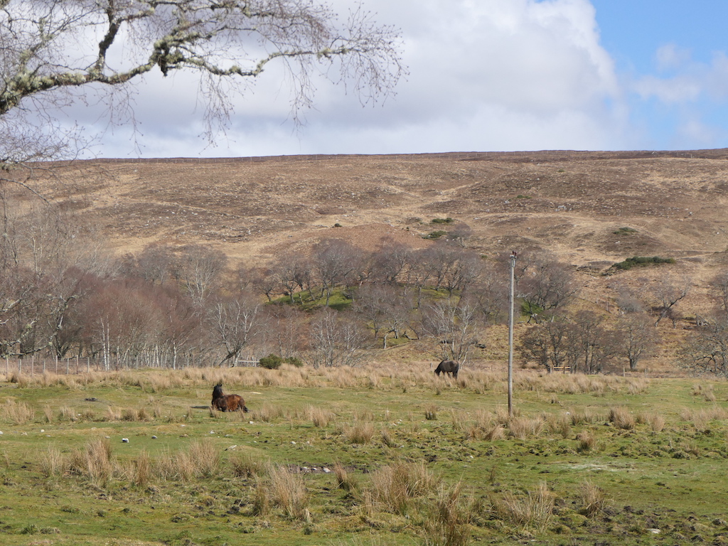
Photo: Richard Webb / Wikimedia Commons / CC BY-SA 2.0 Both are Iron Age broch sites in the northern Highland landscape, preserving the regional tradition of stone-built round towers; the available record does not establish a shared builder.
-
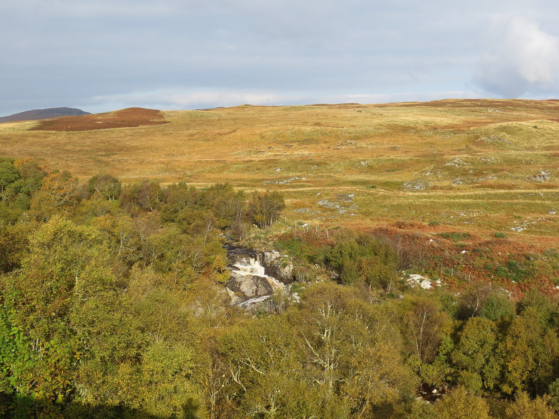
Photo: John Ferguson / Wikimedia Commons / CC BY-SA 2.0 Both are prehistoric broch sites in the wider Highland archaeological landscape, useful as distinct examples of the same regional tower tradition rather than a single complex.
Discovery & excavation
No archaeological excavation has ever taken place at Baile Mhargaite, and no finds have been recorded from the site. What is known of it comes entirely from surface survey — the visible extent of the walls, the partly exposed lintel slab near the presumed entrance, and the traces of the outer defensive wall and ditch on its western side.
What to look for
-
The collapsed broch wall
A circular wall roughly 8.5 metres in circumference, standing to about a metre high and up to four metres thick, though filled with fallen stone and sand rather than standing to any real height.
-
The western annexe
A small rectangular building, about 8 by 5 metres, abutting the broch on its western side — likely an addition serving the site alongside the main tower.
-
The defensive ditch and outer wall
A natural ditch on the west side, thought to have formed part of the broch's defences, together with the poorly preserved remains of an outer wall along the same flank.
-
The possible entrance
A partly exposed lintel slab in the west wall, thought to mark the site of the original entrance, with a short stretch of foundation stones running north of it.
Plan your visit
- Location
- 58.5174°N · 4.2380°W
- Nearest settlement
- Bettyhill
- Access
- Open access
- Terrain
- Rough ground — reasonable boots advised
- Time needed
- About 30 minutes
- Best time
- Daylight, when the low wall traces, ditch and exposed lintel can be read most easily.
- What survives
- The broch is tumbled and rubble-filled, with walls generally only about a metre high; the western outer defences are especially hard to read.
Opening & admission
- Tumbled scheduled broch; access not established by the record.
Nearby places
Fortified place · Iron Age
Inshlampie Broch
Highland
A drystone tower mound perched between two ravines above the river Naver, ringed by cairns, hut circles and settlement traces that together form on…
- Near Bettyhill
- Rough ground
Fortified place · Iron Age
Langdale Broch
Highland
The rock knoll the tower crowns may itself be an older monument: quite possibly the buried remains of a chambered burial mound built around a stone…
- Near Altnaharra
- Easy path
Fortified place · Iron Age
Dun Dornaigil
Highland
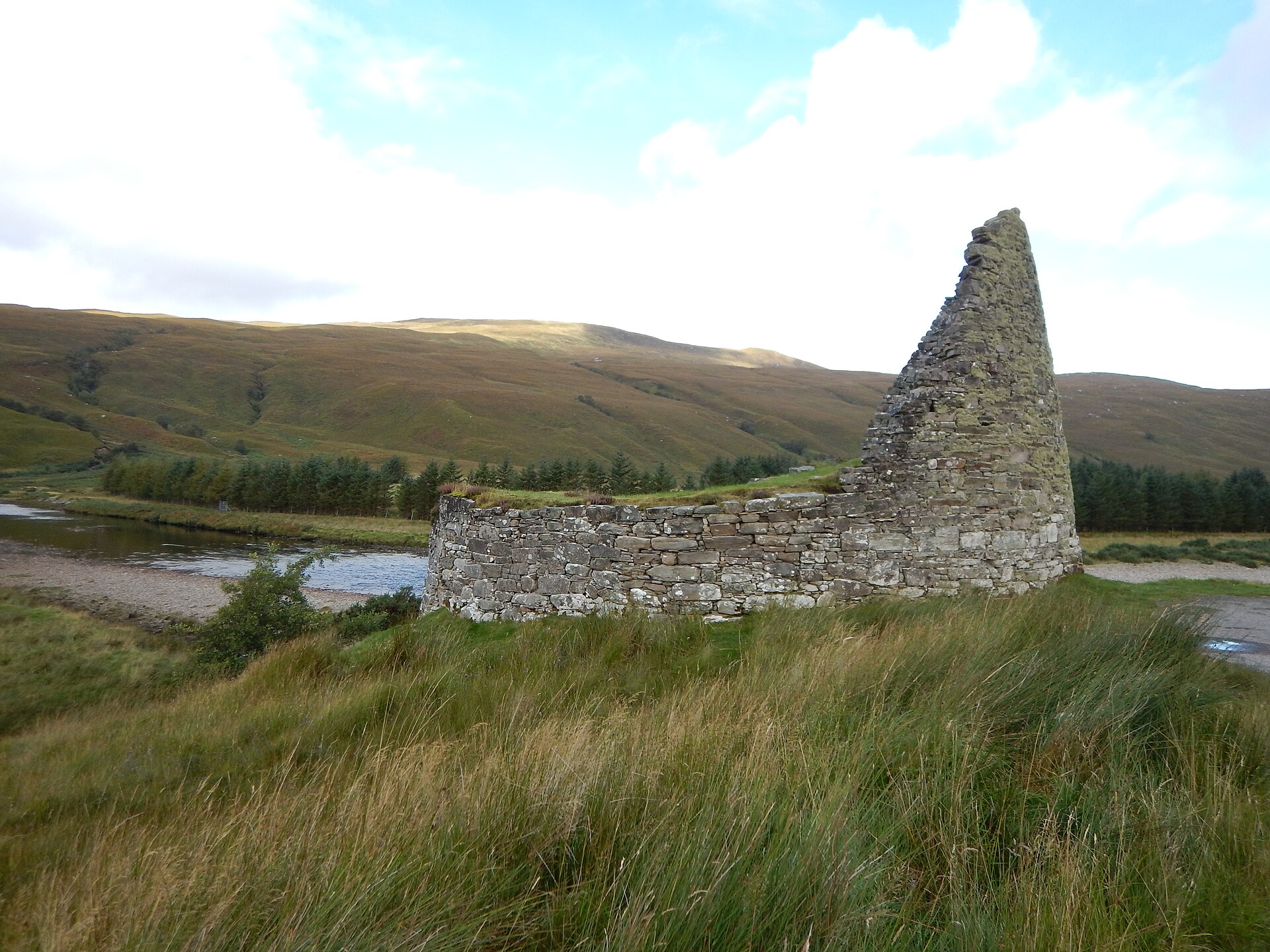
Above its blocked doorway, Dun Dornaigil's wall still climbs to nearly seven metres: among the tallest surviving drystone tower stonework anywhere…
- Near Altnaharra
- Easy path
Fortified place · Iron Age
Crosskirk Broch
Highland
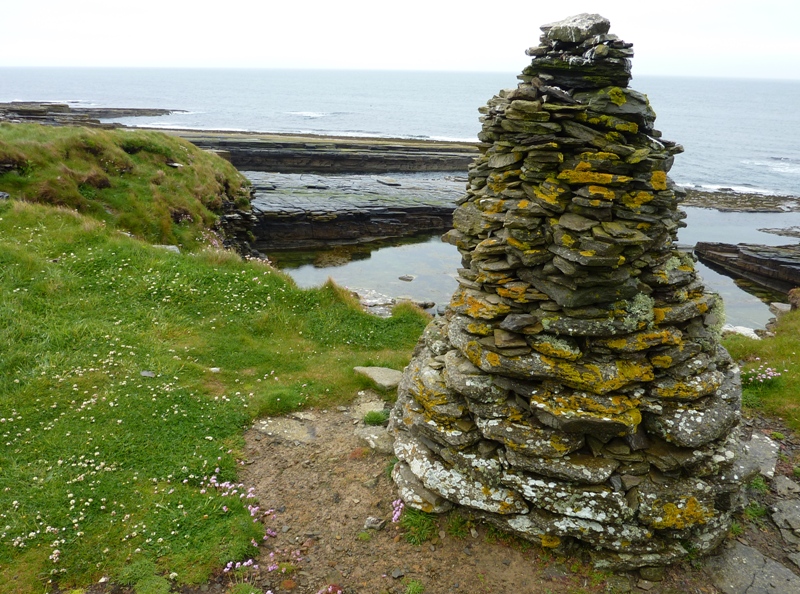
A broch built inside an older promontory fort, fully excavated and then bulldozed into the sea in 1972: it survives only as a record, not a ruin.
- Near Reay
- Rough ground
The setting
Near Baile Mhargaite (Sandy Dun), about 269 metres away.
Photo: David Purchase / Wikimedia Commons / CC BY-SA 2.0
Near Baile Mhargaite (Sandy Dun), about 378 metres away.
Photo: David Purchase / Wikimedia Commons / CC BY-SA 2.0
Questions people ask
- What is Baile Mhargaite?
- An Iron Age broch — a drystone defensive tower — in Strathnaver, Sutherland, also known as the Sandy Dun or Invernaver Broch. It is a scheduled monument.
- How well preserved is the broch?
- Poorly — the walls stand only about a metre high and the interior is filled with tumbled stone and sand, though the original wall thickness of around four metres is still traceable.
- Has the site been excavated?
- No. Baile Mhargaite has never been excavated, and no archaeological finds have been recorded from it.
- What defended the broch?
- Steep rock slopes protected three sides; the fourth, western, side was defended by a ditch and the remains of an outer wall.
- Is there a building attached to the broch?
- Yes, a small annexe measuring about 8 by 5 metres abuts the broch on its western side.
Sources
The Ancient Codex, in your pocket
Get the Pocket Codex app
Carry the directory with you — Baile Mhargaite (Sandy Dun) and thousands of ancient places across Britain and Ireland, offline, wherever you roam.