
The rock knoll the tower crowns may itself be an older monument — quite possibly the buried remains of a chambered burial mound built around a stone chamber, dating from the late Stone Age and built long before the tower ever stood.
A wooden stile beside the road marks the start of the walk in: from there a track follows a stone wall around a farm before cutting away towards a steep, cone-shaped knoll rising beside Langdale Burn, a short distance from the River Naver in Sutherland. The knoll is markedly steeper on its downstream side than upstream, and it is on this awkward, easily defended perch that a massively thick-walled circular stone tower was raised.
What survives today is a low, grass-grown ring of masonry rather than a standing tower. Centuries of collapse have filled the interior with tumbled stone, burying most of the inner and outer wallfaces from view. Even so, the entrance passage on the west side, facing upstream toward the burn, remains traceable: a long, narrow corridor through walls that thicken markedly on the broch’s southern flank, hinting at how substantial the original structure must have been.
A further possibility gives the site an unusual double life. The mound the broch occupies shows signs of being artificial rather than a natural rock knoll, and it has been suggested that it may itself be the remains of a chambered cairn — a Neolithic communal tomb — raised many centuries before the broch builders arrived and reused the high ground for their own very different purpose.
What follows is drawn from published sources, with each claim labelled by how firmly it is established.
History
During the Iron Age, in the centuries either side of the turn of the first millennium, communities across northern Scotland built massive drystone towers known as brochs, using their thick, corbelled walls for both shelter and display. On the steep knoll beside Langdale Burn, one such tower was raised, its builders taking advantage of the rock's natural defences and adding a single, carefully constructed entrance facing the burn.
The entrance passage was built roughly 4.58 metres (15 feet) long and about 91 centimetres (3 feet) wide at its outer end, narrow enough to be tightly controlled. Some evidence suggests the passage held two doors rather than one, a feature recorded at other broch sites and thought to have strengthened security by creating a second barrier behind the main entrance.
The walls themselves varied markedly in thickness around the circuit: about 4.58 metres (15 feet) at the entrance, thickening further to 4.88–5.19 metres (16–17 feet) along the south side. Combined with an external diameter of around 18.91 metres (62 feet) and an interior space roughly 9.15 metres (30 feet) in circumference, the proportions place Langdale among the more substantial broch towers recorded in Sutherland.
At some point after its main period of use, the broch fell out of occupation and began to collapse in on itself. Stone from the upper courses and any internal features tumbled down over time, filling the interior with rubble and burying the wallfaces beneath debris to the point that little of the original internal arrangement can now be traced without excavation.
Long before any of this, the ground beneath the broch may already have carried its own monument. Antiquarian and archaeological observation of the mound's shape has raised the suspicion that it is artificial, and that it may represent the remains of a chambered cairn — meaning the broch builders could have sited their tower directly on top of a far older Neolithic burial mound rather than on a natural hill.
In more recent record-keeping, the site has been documented by broch researchers and heritage recorders, including the Scotland's Brochs project, which catalogued the site's access route, dimensions and structural condition, preserving a description of the monument as it stands even as no further excavation has confirmed the cairn theory.
Cultural influences
-
Broch use of a defensive knoll
The tower used the steep knoll beside Langdale Burn for natural defence, adding a tightly controlled entrance and unusually thick drystone walls.
Connections
-
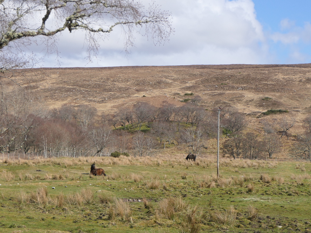
Photo: Richard Webb / Wikimedia Commons / CC BY-SA 2.0 A neighbouring broch in the same northern Highland concentration of prehistoric stone towers, offering a direct comparison of broch construction and siting.
-

Photo: Karl and Ali / Wikimedia Commons / CC BY-SA 2.0 Another broch in the surrounding Highland landscape, useful for comparing how these towers occupied defensible coastal and inland settings.
-
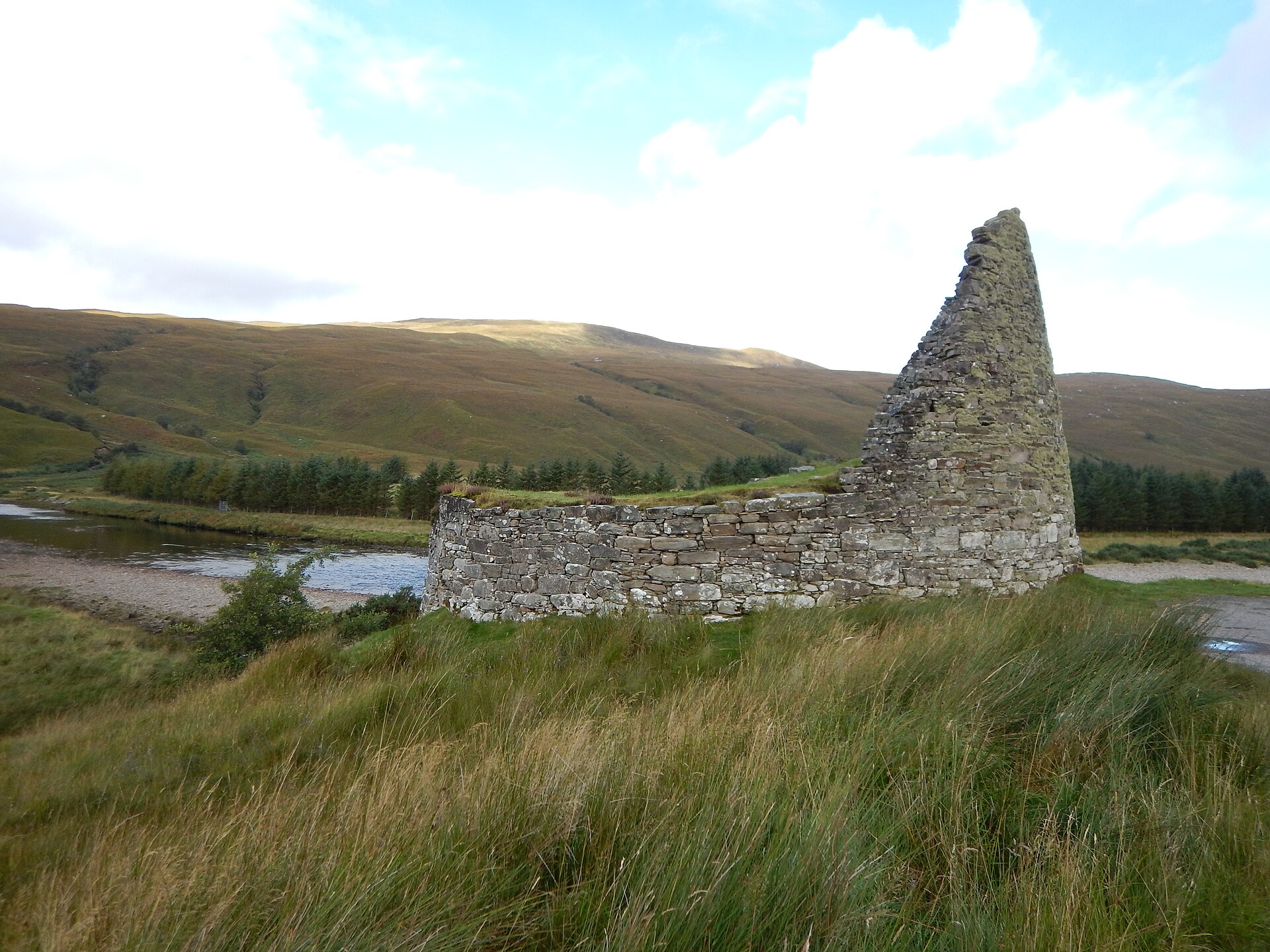
Photo: James Emmans / Wikimedia Commons / CC BY-SA 2.0 A further Highland broch that preserves the regional tradition of substantial drystone towers and defended settlement.
-
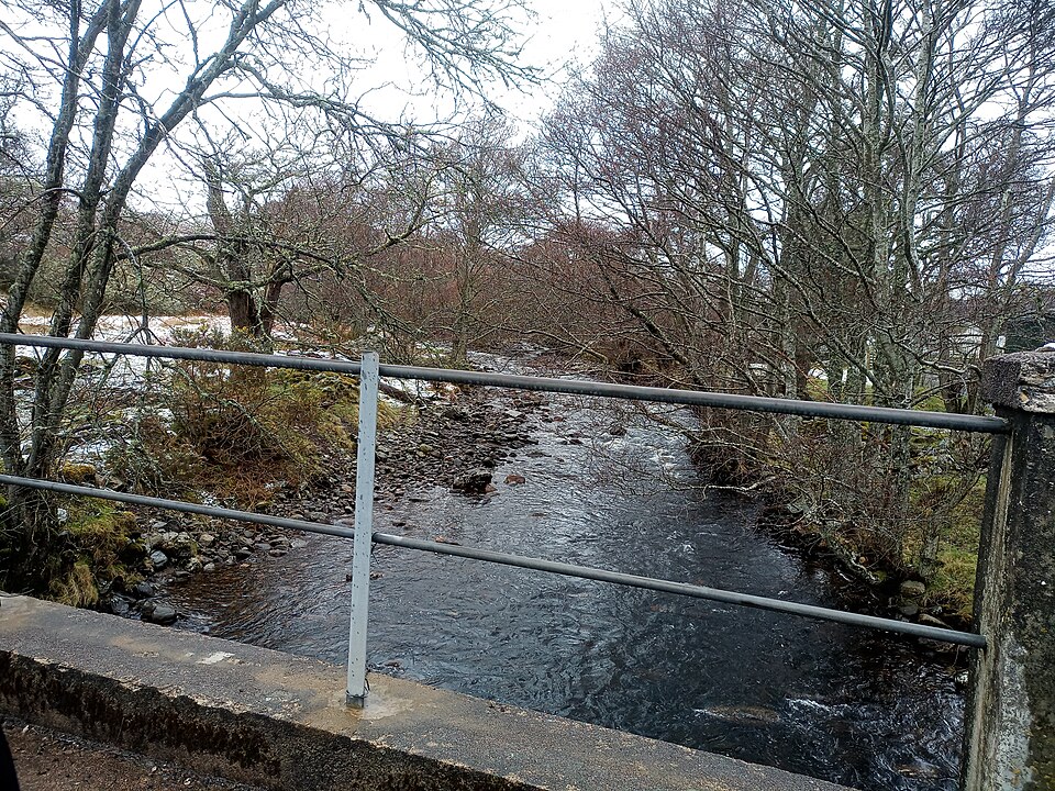
Photo: Victuallers / Wikimedia Commons / CC BY-SA 4.0 Langdale Burn
The burn beside the broch forms part of its natural setting and helps explain the tower’s approach and defensive siting.
Discovery & excavation
The broch is known from surface survey rather than excavation: its entrance, wall thickness and rubble-filled interior remain visible, while the suspected earlier chambered cairn beneath the knoll has not been confirmed.
What to look for
-
The entrance passage
A roughly 4.58 m (15 ft) long, 91 cm (3 ft) wide passage on the west side of the broch, facing upstream toward Langdale Burn; some evidence points to it having held two doors rather than one.
-
Variable wall thickness
The drystone walls thicken from about 4.58 m (15 ft) at the entrance to 4.88–5.19 m (16–17 ft) along the south side, visible in the surviving lower courses.
-
The conical knoll itself
A steep-sided, rock knoll with a shallower slope on its upstream side, chosen for its natural defensive advantage and suspected of being an artificial mound rather than a natural feature.
-
Rubble-filled interior
The interior, roughly 9.15 m (30 ft) in circumference, is largely obscured by collapsed debris, a reminder of how much stone the original tower must have carried.
Plan your visit
- Location
- 58.3736°N · 4.2356°W
- Nearest settlement
- Altnaharra
- Access
- Reached on a public path
- Terrain
- Easy going
- Time needed
- About 30 minutes
- Best time
- Daylight, when the entrance passage, wall thickness and knoll can be read clearly.
- What survives
- The entrance and lower wall courses remain, but a rubble-filled interior obscures the broch’s internal arrangement.
Opening & admission
- Source describes a wooden stile by the road and easy walking to the broch.
Nearby places
Fortified place · Iron Age
Inshlampie Broch
Highland
A drystone tower mound perched between two ravines above the river Naver, ringed by cairns, hut circles and settlement traces that together form on…
- Near Bettyhill
- Rough ground

Fortified place · Iron Age
Baile Mhargaite (Sandy Dun)
Highland
Never excavated and only waist-high in places, its walls, annexe, ditch and outer defence still trace a complete Iron Age (roughly 800 BC until the…
- Near Bettyhill
- Rough ground
Fortified place · Iron Age
Dun Dornaigil
Highland
Above its blocked doorway, Dun Dornaigil's wall still climbs to nearly seven metres: among the tallest surviving drystone tower stonework anywhere…
- Near Altnaharra
- Easy path
Tomb or burial place · Prehistoric
Tulach an t-Sionnaich
Highland
Excavation found the earliest known heel-shaped cairn (a mound of piled stones, often covering a burial) on the Scottish mainland folded inside two…
- Near Watten
- Some walking
Questions people ask
- What is Langdale Broch?
- It is an Iron Age broch, a thick-walled drystone tower, standing on a rocky knoll beside Langdale Burn near the River Naver in Sutherland, Scotland.
- Can the broch's original height still be seen?
- No. The structure has collapsed, and rubble fills the interior, obscuring most of the inner and outer wallfaces from view today.
- Did the entrance really have two doors?
- There is evidence suggesting the entrance passage may have held two doors, a feature also seen at other broch sites in northern Scotland.
- Is the mound beneath the broch natural?
- Possibly not — there is a strong suspicion the mound is artificial and may be the remains of an earlier chambered cairn.
- How do visitors reach the broch?
- A wooden stile by the road leads to an easy walking route following a stone wall around a farm and then a track to the site.
Sources
- Wikipedia: Langdale Broch
- Scotland's Brochs
Explore more: Fortified places · Iron Age · Highland
The Ancient Codex, in your pocket
Get the Pocket Codex app
Carry the directory with you — Langdale Broch and thousands of ancient places across Britain and Ireland, offline, wherever you roam.