
A drystone tower mound perched between two ravines above the river Naver, ringed by cairns, hut circles and settlement traces that together form one of Strathnaver's densest clusters of remains from before any written account of Britain existed.
On a promontory above the river Naver, flanked by ravines cutting in from north and south, the mounded remains of a drystone tower still command the ground they were built to hold. Builders in the Scottish Highlands raised hundreds of such towers along rivers, coasts and glens where visibility and defence mattered. At Inshlampie the choice of ground speaks for itself: whoever built it could watch the river crossing while the ravines did the work of walls on two sides.
What survives today is far less than what once stood. Antiquarian and Ordnance Survey recorders in the early twentieth century could still trace walling standing over a metre high; by the time archaeologists returned in the 1980s, that walling had all but vanished beneath turf and tumble, leaving a low, spreading mound where a broch once rose. No internal chambers remain visible, and even the entrance can only be guessed at from the shape of the ruin.
The broch does not stand alone. Across the river lies a chambered cairn with a burial ground beside it, hut circles trace the line of a nearby burn, and further settlement ruins spread south of the mound — a scatter of prehistoric occupation that makes this stretch of Strathnaver unusually rich, even if much of it is now legible only as humps in the heather.
What follows is drawn from published sources, with each claim labelled by how firmly it is established.
History
During the Iron Age, communities in this part of Sutherland raised broch towers at commanding points along the river Naver, and the builders at Inshlampie chose a promontory already half-defended by nature, with ravines cutting in to north and south and open sightlines down to the river crossing below. The site joined a wider pattern of broch-building across Atlantic Scotland in which prominent, defensible ground was consistently favoured over easier but more exposed locations.
In the early twentieth century, surveyors recording monuments in Sutherland for what became the Royal Commission's 1911 inventory found the broch's walls still standing to a height of around 1.2 metres, enough to give a clear sense of its original circuit even though no internal chambers could be identified and the entrance, presumed to face west-north-west, was already reduced to conjecture.
By the time archaeologists surveyed the site again in the mid-1980s, decades of erosion, stone robbing and vegetation growth had reduced that once-legible walling to very little that could still be seen above ground, leaving the broch as a low, grass-grown mound whose external diameter of roughly 15.5 metres and internal diameter of about 6.5 metres could only be recovered from the shape of the earthwork itself.
Cultural influences
-
Broch placement above the Naver
The broch was placed on a promontory cut by ravines, using the river crossing and steep ground as part of its defensive setting.
Connections
-
Skaill chambered cairn
Lies directly across the river Naver from the broch, part of the same cluster of prehistoric remains in this stretch of Strathnaver.
-
Burial ground north of Skaill cairn
Situated immediately north of the chambered cairn on the opposite bank of the Naver from the broch, forming part of the same funerary and settlement landscape.
-
Hut circles along the Inshlampie burn
Strung along the burn near the broch, these represent contemporary or related prehistoric domestic settlement in the immediate vicinity.
-
Settlement ruins south of the broch
Further structural remains lying just south of the broch mound, adding to the density of occupation evidence around the site.
-
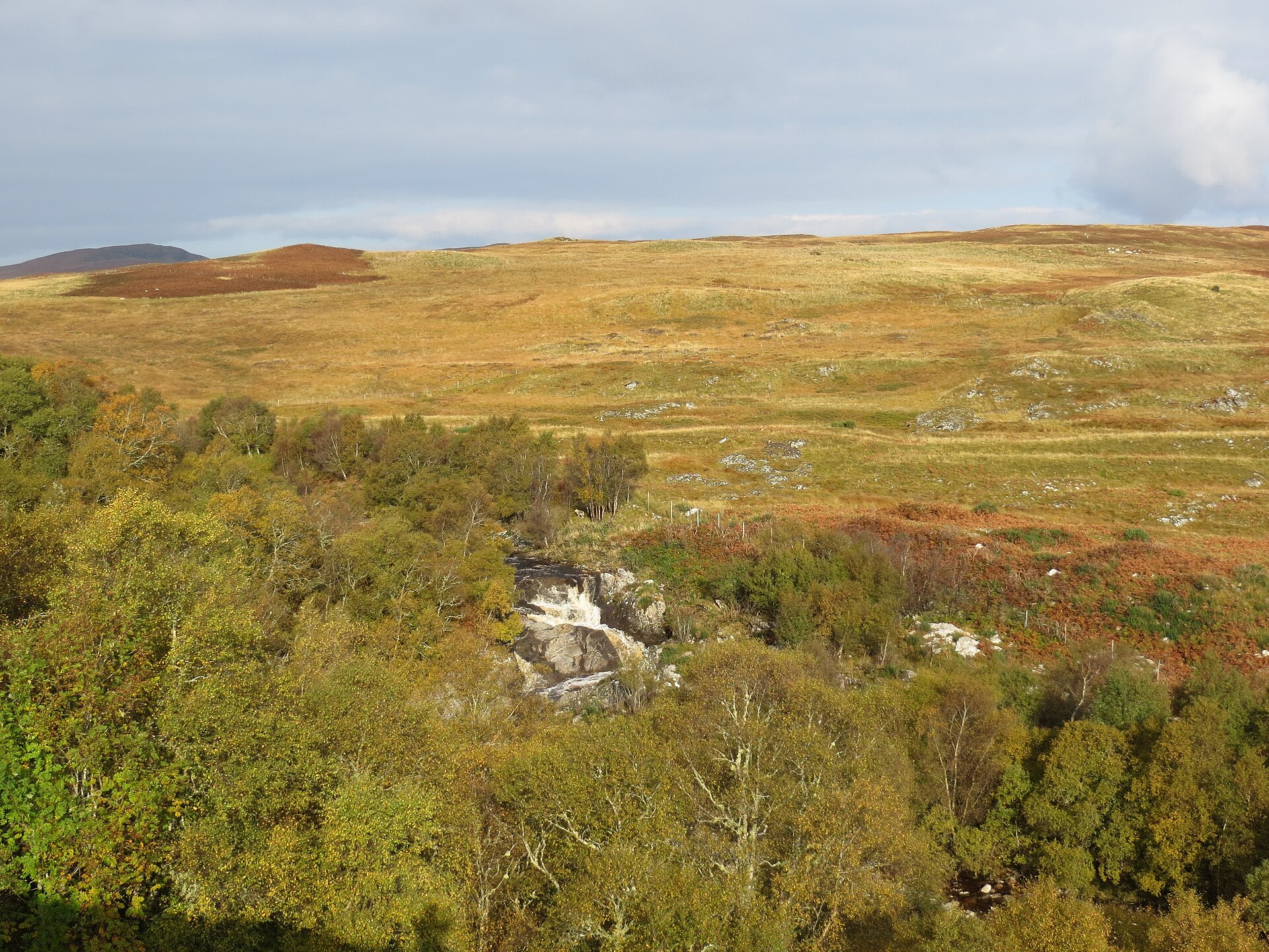
Photo: John Ferguson / Wikimedia Commons / CC BY-SA 2.0 A second broch some 4 kilometres to the south-west, intervisible with Inshlampie were it not for modern tree cover, suggesting the two towers were sited to watch the same stretch of country.
-
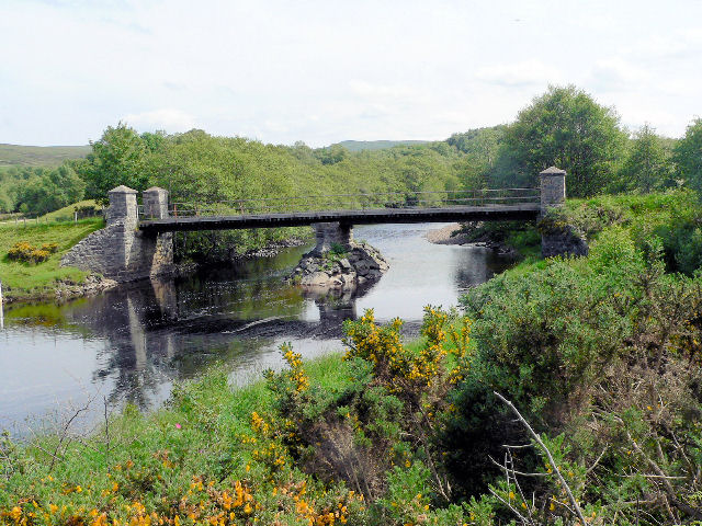
Photo: RH Dengate / Wikimedia Commons / CC BY-SA 2.0 River Naver
Inshlampie occupies a naturally defended promontory overlooking a Naver river crossing, with ravines protecting two sides. The river-facing position gave its Iron Age builders sightlines across a wider prehistoric settlement landscape.
What to look for
-
The broch mound
A low, spreading mound roughly 15.5 metres across externally with a 6.5-metre internal diameter, all that remains visible of the original tower.
-
Terraced ground toward the river
Remains of other structures survive on terraced land between the west side of the broch and the river Naver.
-
The eastern terrace and ditch line
A terrace on the east side of the broch may once have been bordered by a ditch running across the promontory.
-
Enclosure traces
Faint traces of enclosures can still be made out to the south and east of the broch mound.
-
Outer wall traces
Further traces of a large wall survive at the foot of the outer slope below the broch.
Plan your visit
- Location
- 58.3887°N · 4.1981°W
- Nearest settlement
- Bettyhill
- Access
- Open access
- Terrain
- Rough ground — reasonable boots advised
- Time needed
- About 45 minutes
- Best time
- Daylight, when the low mound and neighbouring Naver landscape can be read most clearly.
- What survives
- Erosion, stone robbing and vegetation have reduced the broch to a low grass-grown mound with only earthwork dimensions clearly legible.
Opening & admission
- Possible broch in tree-covered ravine landscape; access status is not stated.
Nearby places
Fortified place · Iron Age
Langdale Broch
Highland
The rock knoll the tower crowns may itself be an older monument: quite possibly the buried remains of a chambered burial mound built around a stone…
- Near Altnaharra
- Easy path

Fortified place · Iron Age
Baile Mhargaite (Sandy Dun)
Highland
Never excavated and only waist-high in places, its walls, annexe, ditch and outer defence still trace a complete Iron Age (roughly 800 BC until the…
- Near Bettyhill
- Rough ground
Fortified place · Iron Age
Dun Dornaigil
Highland
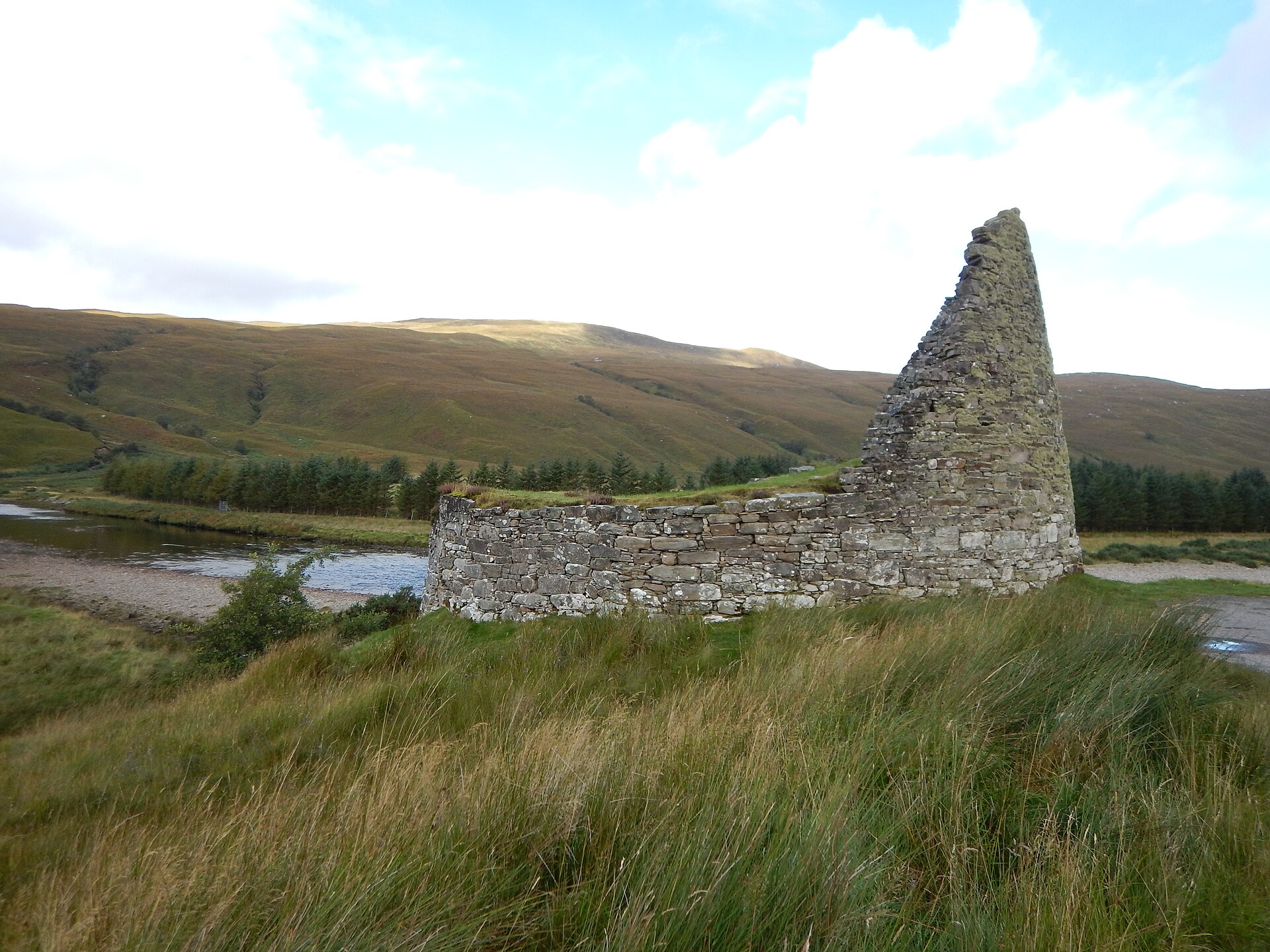
Above its blocked doorway, Dun Dornaigil's wall still climbs to nearly seven metres: among the tallest surviving drystone tower stonework anywhere…
- Near Altnaharra
- Easy path
Tomb or burial place · Prehistoric
Tulach an t-Sionnaich
Highland
Excavation found the earliest known heel-shaped cairn (a mound of piled stones, often covering a burial) on the Scottish mainland folded inside two…
- Near Watten
- Some walking
Questions people ask
- What is Inshlampie Broch?
- An Iron Age broch — a massive drystone roundhouse tower — now surviving as a low mound above the river Naver in Farr, Sutherland.
- How big was the broch?
- It measured roughly 15.5 metres across externally and about 6.5 metres internally, though little of the original walling survives above ground.
- Why was this site chosen?
- The promontory is naturally defensible, flanked by ravines to north and south and overlooking the river Naver, giving the broch clear sightlines and protection on two sides.
- What else survives nearby?
- A chambered cairn and burial ground across the river, hut circles along the Inshlampie burn, and settlement ruins to the south, forming a dense prehistoric landscape.
- How much of the broch can still be seen?
- Very little; walling recorded at 1.2 metres high in the early twentieth century had largely disappeared by the time of a 1980s survey, leaving mainly a grassed-over mound.
Sources
- Wikipedia: Broch of Inshlampie
- Historic Environment Scotland — Canmore
- RCAHMS Inventory of Sutherland, 1911
- MacKie, E.W. (2007), The Roundhouses, Brochs and Wheelhouses of Atlantic Scotland c.700 BC-AD 500
- Swanson, C.B. (1988), A contribution to the understanding of brochs (PhD thesis, University of Edinburgh)
Explore more: Fortified places · Iron Age · Highland
The Ancient Codex, in your pocket
Get the Pocket Codex app
Carry the directory with you — Inshlampie Broch and thousands of ancient places across Britain and Ireland, offline, wherever you roam.