
A drystone tower on a tidal islet, reachable only by a boulder causeway at low water — and still argued over as broch, a round, hollow-walled tower from Scotland's Iron Age — the centuries before Rome arrived — or plainer dun.
At low tide, a rough causeway of boulders breaks the surface at the south end of Loch Ardbhair, a sea inlet on Scotland’s north-west coast, linking the shore to a small rock crowned with ruined drystone walls. When the sea rises again, the gap between the water’s edge and the base of the building narrows to almost nothing, and the site becomes, once more, a place cut off from the land it sits so close to.
The structure itself is a circular drystone building known as a broch (a tall Iron Age stone tower found across northern Scotland) or, in a more cautious reading, a dun (a smaller drystone fort without a broch’s distinctive double-walled construction). Its interior measures some 7.3 metres across, enclosed by a wall over 3 metres thick at the base, with a single narrow entrance passage breaking through from the south. Only the lowest courses of the outer wall now show above the rubble in most places, but inside, where the debris has been cleared away, the wall still stands more than two metres high.
What the building actually was has never been fully settled. Early twentieth-century recorders thought its rough construction argued against calling it a broch at all; a later reassessment weighed the same evidence and came down, cautiously, on the other side. The uncertainty is part of what makes the place worth pausing over — a small, isolated structure that has outlasted easy classification.
What follows is drawn from published sources, with each claim labelled by how firmly it is established.
The name
An Dùn is Gaelic for ‘the fort’, a plain name for the defended building on the tidal rock.
History
During the Iron Age, unknown builders raised the structure now called An Dun on an isolated rock at the south end of Loch Ardbhair, on the loch's eastern shore. They linked the rock to the mainland with a rough causeway of boulders, a crossing usable only when the tide allowed, so that the finished building could only ever be reached at low water, with almost no ground left exposed between the rock's edge and the base of the walls once the sea rose.
A survey carried out in 1911 examined the structure closely and reported unfavourably on its craftsmanship, finding no signs of chambers or galleries within the thickness of the walls and describing the building as poor, with stones that had not been carefully selected or laid and with the numerous gaps between them simply packed with small angular fragments rather than fitted with any evident skill.
On 14 October 1938 the site was designated a Scheduled Monument, a status recognising its national importance and placing legal protection over the surviving remains, safeguarding what was left of the drystone walls, the narrow entrance passage, and the boulder causeway connecting the rock to the shore for future study and preservation.
A reappraisal carried out in 1980 revisited the question of what the building actually was, noting that its small size and the absence of intra-mural chambers gave reason to doubt the broch classification, yet concluding on balance that it was still more likely to be a broch than any other type of drystone structure.
Cultural influences
-
Broch-building tradition
Its circular drystone construction belongs to the northern Scottish broch tradition, although the absence of wall chambers means that classification remains qualified rather than certain.
Connections
-

Photo: StaraBlazkova / Wikimedia Commons / CC BY-SA 3.0 Both are defended sites in the remote Highland landscape, linking An Dun’s tidal-island setting with Ardvreck’s later stone castle while preserving their distinct periods and purposes.
Discovery & excavation
The building's design has been assessed twice in the twentieth century, with differing emphasis. A 1911 survey judged the masonry poor and found no trace of the internal chambers or galleries typical of a well-built broch, describing gaps between stones packed with small angular fragments rather than closely fitted work. A 1980 reappraisal weighed the same absence of intra-mural chambers and the structure's small size as grounds for doubt, but concluded that a broch classification remained the more likely of the two readings, leaving the building's precise status a matter of informed judgement rather than settled fact.
What to look for
-
The boulder causeway
A rough causeway of boulders, now partly displaced, connects the rock to the mainland shore roughly 30 metres away, usable only at low tide.
-
The entrance passage
A narrow entrance breaks through the wall from the south, only about 0.6 metres wide at its inner end, with walling surviving to over a metre high on one side.
-
The surviving inner wall
Inside the cleared interior, the drystone wall still stands to more than 2.2 metres in height, though little of the outer wall face remains visible above the surrounding rubble.
-
The tidal setting
The building occupies an isolated rock at the south end of Loch Ardbhair, a sea inlet, leaving very little exposed ground around the walls when the tide is in.
Plan your visit
- Location
- 58.2496°N · 5.1220°W
- Nearest settlement
- Ardvar
- Access
- Reached on a public path
- Terrain
- Rough ground — reasonable boots advised
- Time needed
- About 45 minutes
- Best time
- At low tide, when the boulder causeway is passable; check local tide conditions before setting out.
- What survives
- The inner wall survives to about 2.2 metres, but little of the outer face is visible above the surrounding rubble and the causeway is partly displaced.
- Facilities
- Facilities are limited on the island; check access, tide and local visitor guidance before travelling.
Opening & admission
- Only approachable at low tide across a rough boulder causeway.
Nearby places

Fortified place · Medieval
Ardvreck Castle
Highland
A broken keep on a spit of rock in Loch Assynt where a fugitive royalist commander was handed to his enemies in 1650, under circumstances still dis…
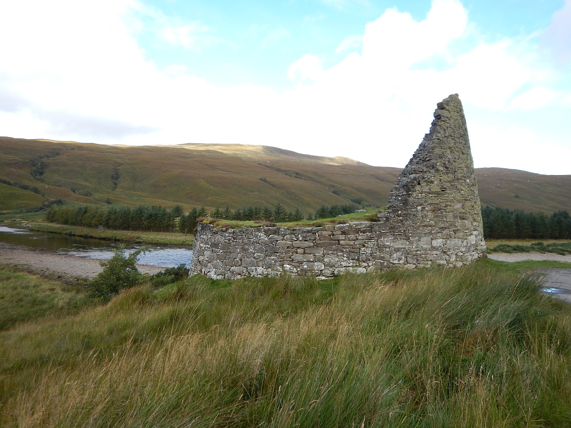
Fortified place · Iron Age
Dun Dornaigil
Highland
Above its blocked doorway, Dun Dornaigil's wall still climbs to nearly seven metres: among the tallest surviving drystone tower stonework anywhere…
- Near Altnaharra
- Easy path
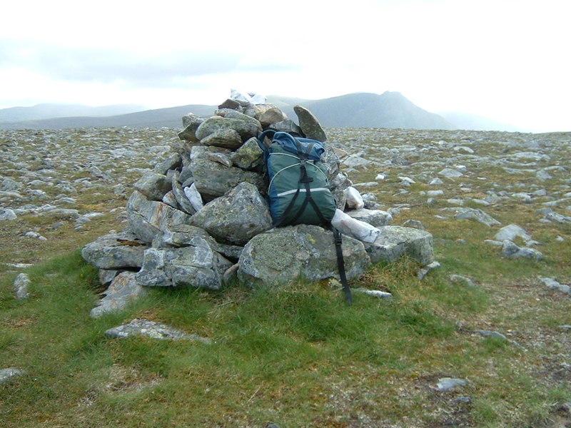
Tomb or burial place · Prehistoric
Carn Ban
Highland
A 30-metre chamber cut into compartments by upright stone slabs: one of the largest and best-preserved Clyde cairns in south-west Scotland, reached…
- Rough ground
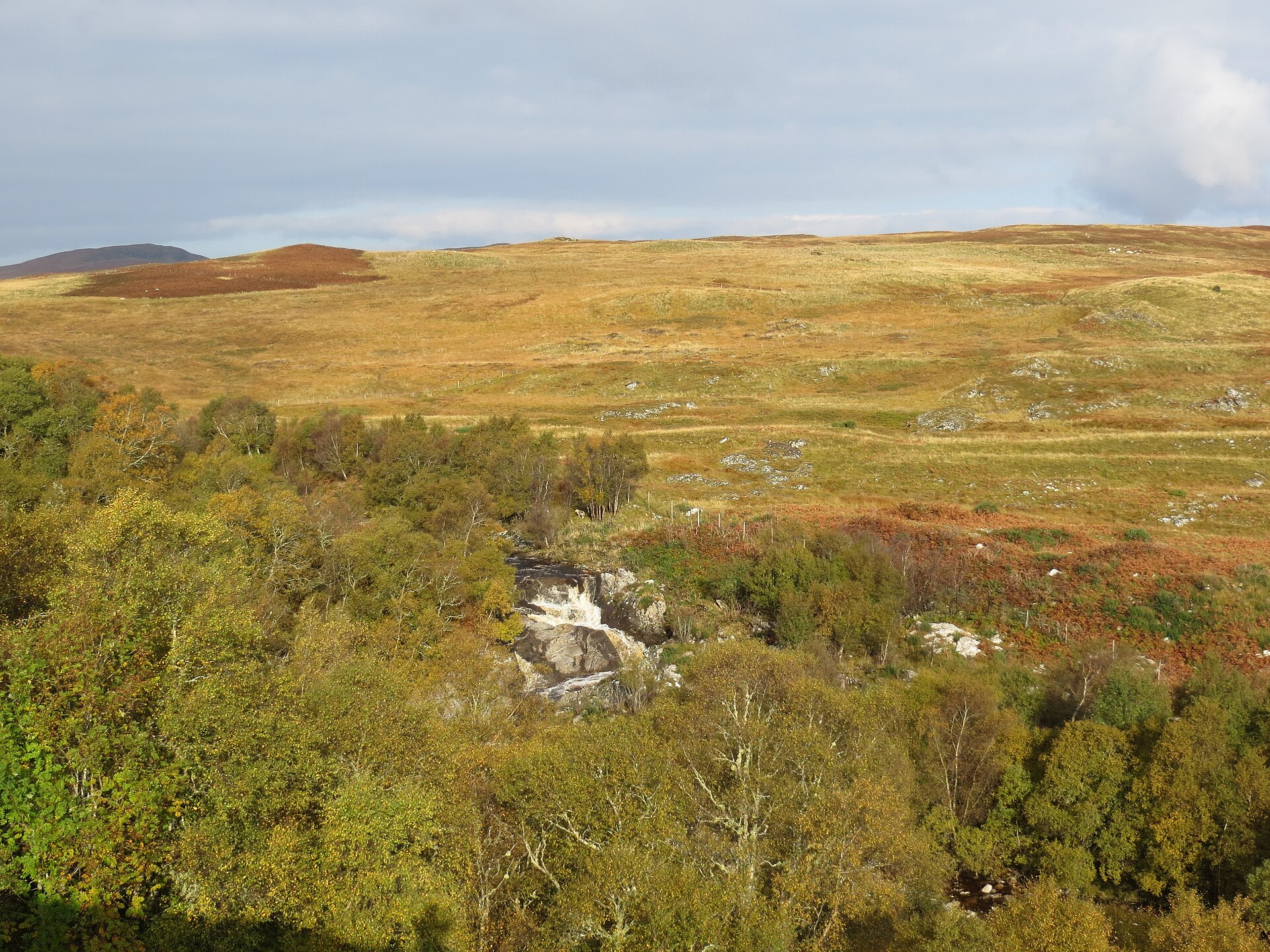
Fortified place · Iron Age
Langdale Broch
Highland
The rock knoll the tower crowns may itself be an older monument: quite possibly the buried remains of a chambered burial mound built around a stone…
- Near Altnaharra
- Easy path
The setting
Near An Dun, about 233 metres away.
Photo: Gordon Hatton / Wikimedia Commons / CC BY-SA 2.0
Near An Dun, about 633 metres away.
Photo: Gordon Hatton / Wikimedia Commons / CC BY-SA 2.0
Questions people ask
- Is An Dun a broch or a dun?
- It has been classed as both. Assessors in 1911 and 1980 debated the point, with the later review concluding it was more likely a true broch despite its small size.
- How is An Dun reached?
- By a rough boulder causeway from the eastern shore of Loch Ardbhair, about 30 metres long, which is only usable at low tide.
- How big is the structure?
- The interior measures roughly 7.3 metres across, with a drystone wall over 3.2 metres thick at its base.
- When was An Dun given legal protection?
- It was designated a Scheduled Monument on 14 October 1938.
- What did early surveys think of the building quality?
- A 1911 survey judged the masonry poor, with no internal chambers and gaps packed with small stone fragments rather than fitted carefully.
Sources
Explore more: Fortified places · Iron Age · Highland
The Ancient Codex, in your pocket
Get the Pocket Codex app
Carry the directory with you — An Dun and thousands of ancient places across Britain and Ireland, offline, wherever you roam.