
A circle of which only five stones stood when excavation began in 1970, four more stumps and a tenth socket being found beneath.
Only five of the stones were still standing when the diggers arrived in 1970. Excavation found the stumps of four more and the empty socket of a tenth, enough to show that the ring had been an ellipse of about 15 by 14 metres with a rectangular setting of slabs at its centre, and that cremated bone had been laid beneath four of the uprights. Balbirnie sits on the north-eastern edge of Glenrothes in Fife, and was in use from the late Neolithic, the closing centuries of the first farming age, until the late second millennium BC. The stones a visitor sees are not quite where they were built: the circle was lifted ahead of a road widening and its main features re-erected a short distance away.
What follows is drawn from published sources, with each claim labelled by how firmly it is established.
History
Ten stones once stood here in an ellipse of about 15 by 14 metres, set around a rectangular arrangement of slabs measuring 3.25 by 3.75 metres at its centre. Only five were upright when Graham Ritchie's excavation began; digging recovered the stumps of four more and the socket left by the tenth. Cremated bone lay beneath four of the circle stones. The rectangular slab setting and the ring itself belong to the earliest of three phases of use identified in the ground, placing the first work at the site in the late Neolithic, the closing centuries of the first farming age in Britain.
Later, cists — stone-lined graves sunk into the ground — were inserted inside the ring. Two of them had been given side-slabs cut from earlier carved stones, one bearing cup and ring marks and the other cup marks alone, so that rock art made for some other purpose was reused as building material. Grave goods included a Food Vessel, a pottery form of the earlier Bronze Age, and a flint knife. Wood associated with one of the cists returned a radiocarbon date of about 1330 BC.
In a third phase the cists were sealed beneath a cairn of stones that filled the interior of the ring to a height of half a metre. At least sixteen cremation burials were placed within that cairn. Radiocarbon dating of the land surface that had built up inside the circle gave a date of around 890 BC, and the excavators concluded that this last phase of use fell in the late second millennium BC, so the site was in use, on and off, across something like two thousand years.
The circle stood originally at grid reference NO 2850 0304. Ritchie excavated it in 1970 and 1971 ahead of a planned widening of the A92, and the principal features were afterwards re-erected a short distance away at NO 2859 0296, which is where they stand today. The monument therefore survives as a rebuilt arrangement rather than one left undisturbed in the position it was built in.
Balbirnie lies close to the ceremonial complex at Balfarg, and the two are treated as parts of a single prehistoric landscape. The scheduling document for Balfarg describes that complex, together with the stone circle at Balbirnie and other sites nearby, as forming one of the most important groups of Neolithic and Bronze Age monuments in eastern Scotland.
People
-
Graham Ritchie
Archaeologist who excavated Balbirnie in 1970–71, recording the stone stumps, later cists and cremation burials before the circle was moved.
Cultural influences
-
Balbirnie and the nearby Balfarg ceremonial complex form a dense Neolithic and Bronze Age monument landscape.
Connections
-
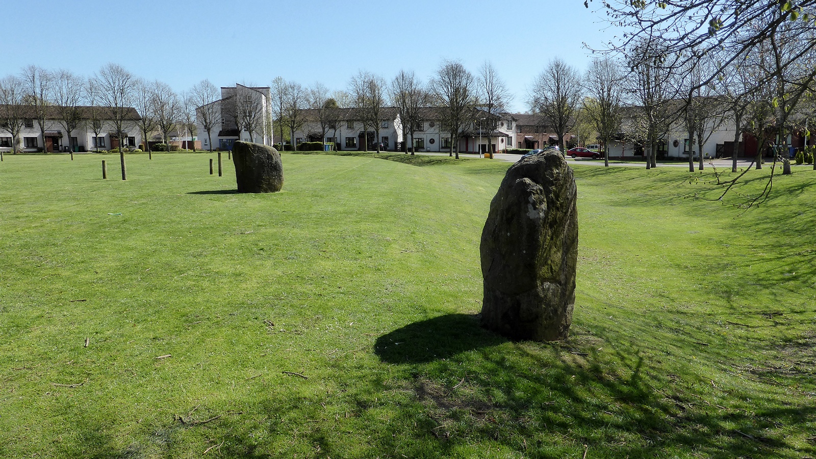
Photo: Sandy Gerrard / Wikimedia Commons / CC BY-SA 2.0 The Balfarg ceremonial complex lies close by, and the scheduling for Balfarg treats it and Balbirnie as parts of one group of monuments.
Discovery & excavation
Excavation recovered stone stumps, cists, cremation burials, reused carved slabs and a cairn sealing the circle’s interior.
What to look for
-
Re-erected stone ring
Stand back to see the ten re-erected stones surrounding the low rectangular slab setting, arranged after the 1970–71 excavation.
-
Cairn interior
Look inside the ring for the low, stone-filled interior where later cists and cremation burials were sealed beneath a cairn.
-
Central slab setting
Find the rectangular setting of slabs at the centre, visibly different from the upright ring stones and encircled by the later cairn.
Plan your visit
- Location
- 56.2138°N · 3.1529°W
- Access
- Open access
- Terrain
- Easy going
- Time needed
- About 45 minutes
- What survives
- The stone circle survives as a re-erected arrangement moved a short distance from its original site after road works.
Opening & admission
Current admission details are not confirmed; check local access information before travelling.
- The visible features were re-erected near the original site after excavation.
- The site lies on the north-eastern edge of Glenrothes.
Nearby places
Sacred place · Prehistoric
Balfarg
Fife
Balfarg preserves a multi-phase Neolithic (the late Stone Age, about 4000–2500 BC in Britain) ceremonial landscape within modern Glenrothes, includ…
- Easy path
Fortified place · Medieval
Balgonie Castle
Fife
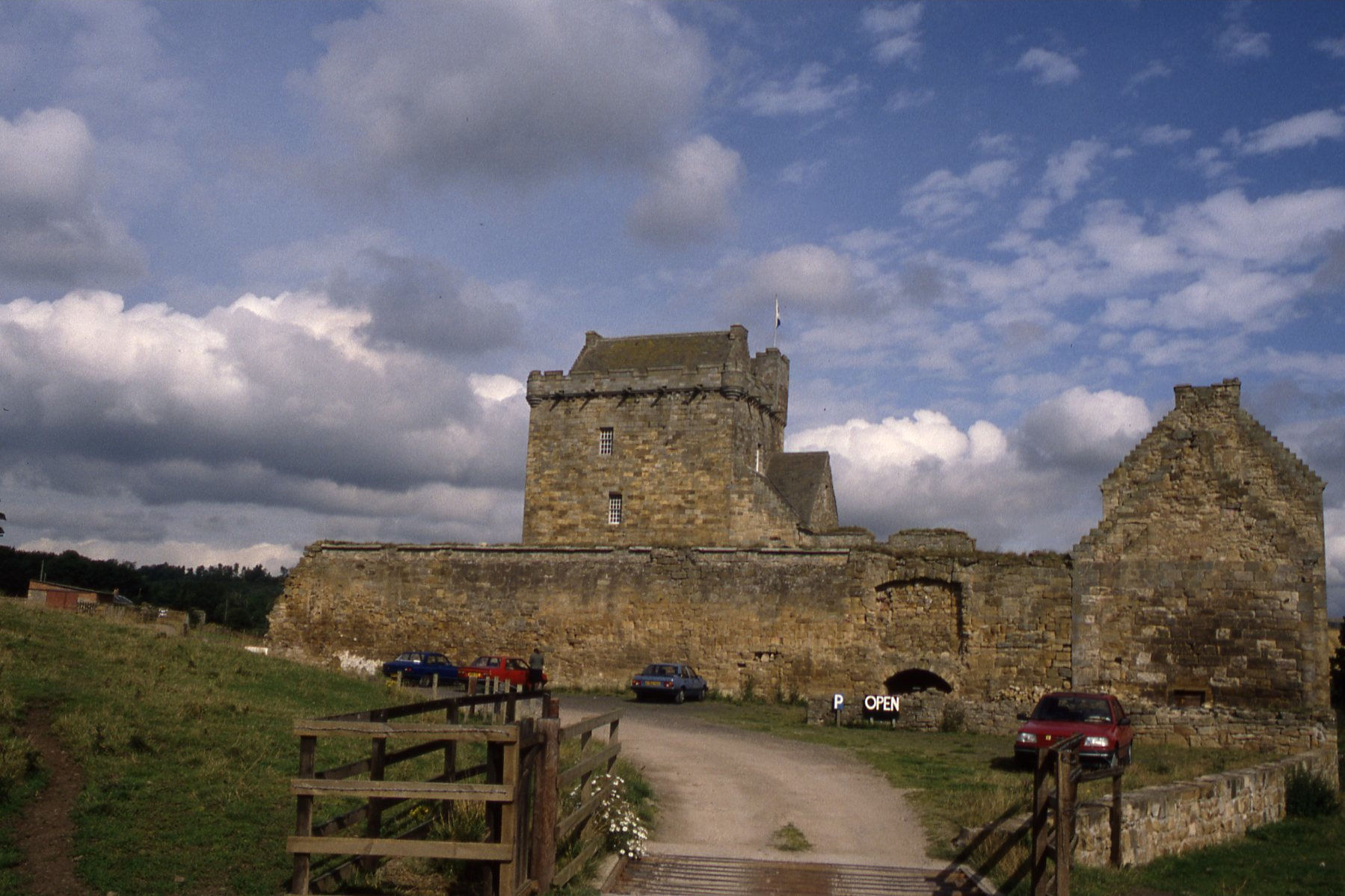
Balgonie Castle shows five centuries of incremental change, from a 14th-century tower house to a restored residence within the remains of a 17th-ce…
Fortified place · Medieval
Falkland Palace
Fife
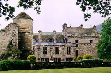
Falkland Palace is a major Scottish royal residence where a medieval hunting castle became a French Renaissance court, retaining the world’s oldest…

Fortified place · Medieval
MacDuff's Castle
Fife
MacDuff’s Castle preserves the changing fortunes of Fife’s medieval elite, from the MacDuff earls and Wemyss family to Colville rebuilding, while i…
- Near St Andrews
Questions people ask
- Why is Balbirnie Stone Circle significant?
- Balbirnie records some two thousand years of use, running from a late Neolithic stone setting through inserted Bronze Age graves to a covering cairn holding at least sixteen cremations.
- What should a reader focus on?
- The ellipse of ten stone positions, the rectangular slab setting at its centre, and the reused cup-and-ring-marked slabs built into the sides of two of the later graves.
- How certain is the interpretation?
- Radiocarbon dates of about 1330 BC and about 890 BC anchor the later phases. The stones now stand a short distance from where they were built, having been moved before the A92 was widened.
Sources
The Ancient Codex, in your pocket
Get the Pocket Codex app
Carry the directory with you — Balbirnie Stone Circle and thousands of ancient places across Britain and Ireland, offline, wherever you roam.