
Inveravon is one of the Antonine Wall’s most uncertain fort sites, where limited excavation, geophysics and aerial photography reveal faint foundations, the Military Way and a surrounding landscape of temporary Roman camps.
On the east side of Scotland’s River Avon, near Inveravon Tower, archaeology has identified only the barest traces of a possible Antonine Wall fort. There is little for an untrained visitor to see, but the site is important precisely because it tests how archaeologists identify a frontier installation from fragmentary evidence.
Excavation and geophysical work have found foundations, cobbled surfaces, stone walls and a section of the Military Way. Possible ‘expansions’ may have served as signal or beacon towers, though their exact purpose remains uncertain.
Aerial photography adds a wider military context. Two temporary marching camps were identified in the 1950s and a third in 1960, all south of the Wall, linking Inveravon with a landscape of movement, construction and campaigning rather than a single clearly defined fort plan.
What follows is drawn from published sources, with each claim labelled by how firmly it is established.
History
Inveravon was long considered a likely Antonine Wall fort site, but it remains among the most doubtful forts on the frontier. Work near Inveravon Tower has found only bare traces, making the identification dependent on excavation, geophysics and landscape context rather than a clear surviving fort outline. Excavations and geophysical investigation uncovered foundations, cobbled surfaces, stone walls and a section of the Military Way. These discoveries indicate Roman activity at the location, although they do not resolve every question about the form or full extent of the suggested fortification.
Archaeologists also identified ‘expansions’ associated with the site, which may have been signal or beacon towers. The interpretation remains tentative, but such features would fit a frontier where observation and communication were essential alongside the Wall, road and fort network. Aerial photography in the 1950s revealed two temporary marching camps south and south-east of Inveravon, information reported by J. K. St Joseph. A third camp was identified in 1960, reinforcing the evidence for a wider Roman military landscape south of the Wall.
People
-
J. K. St Joseph
Aerial archaeologist who circulated news of the temporary marching camps in the Journal of Roman Studies.
Cultural influences
-
Roman road whose excavated section connects Inveravon with the Wall’s wider frontier infrastructure.
Connections
-
River Avon
Inveravon lies on its east side.
-
Inveravon Tower
Nearby landmark where faint traces of the suggested fort were found.
-
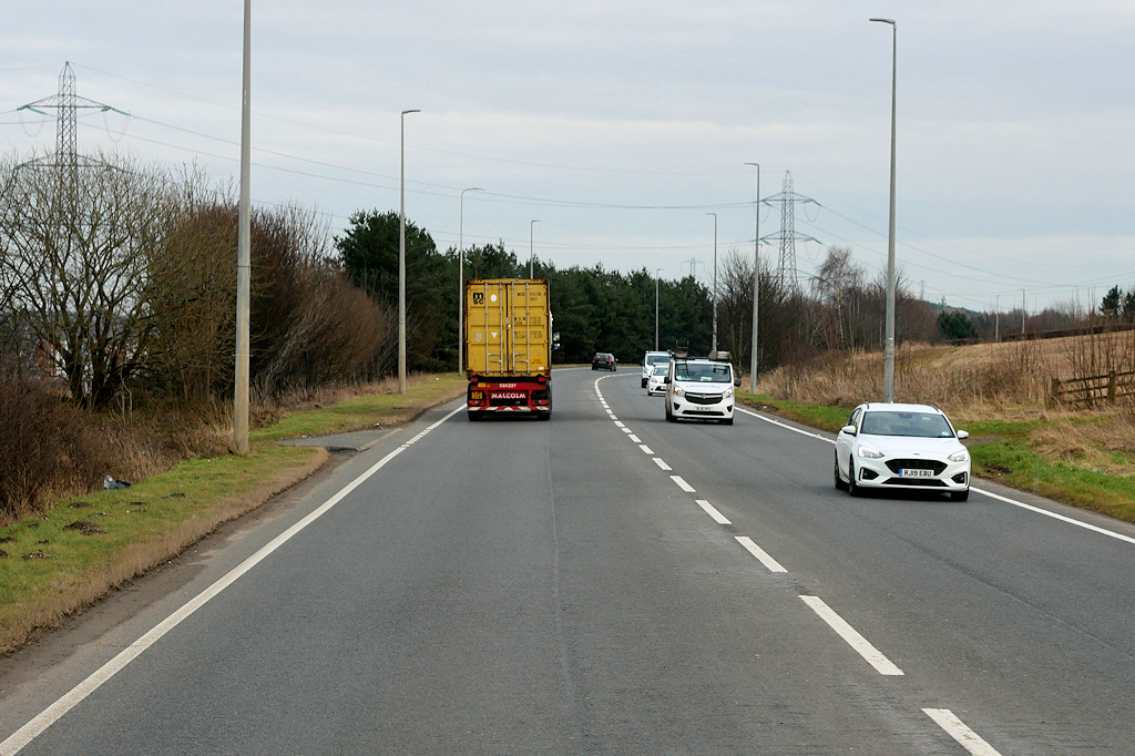
Photo: David Dixon / Wikimedia Commons / CC BY-SA 2.0 Another Antonine Wall site with additional temporary camps identified in the wider area.
Discovery & excavation
Excavation and geophysics found cobbled surfaces, stone walls, foundations and a section of the Antonine Wall Military Way near Inveravon Tower.
What to look for
-
Military Way evidence
Excavation has exposed a section of the Roman road despite the lack of obvious fort remains.
-
Subtle foundations
The sparse traces near Inveravon Tower require interpretation rather than offering a legible visitor monument.
-
Temporary-camp landscape
Aerial photography locates the site within a group of Roman marching camps south of the Wall.
Plan your visit
- Location
- 56.0013°N · 3.6758°W
- Access
- Open access
- Terrain
- Moderate walking
- Time needed
- About 45 minutes
- What survives
- No clear fort outline survives; the site is represented by subtle foundations, road traces and the wider temporary-camp landscape.
Opening & admission
No admission arrangement is confirmed; the site has no visible feature intended for casual visitors, so confirm local access information before travelling.
- No clearly identifiable remains are presented for an unskilled visitor.
Nearby places
Fortified place · Roman
Mumrills
Falkirk
Mumrills was the largest Roman fort on the Antonine Wall, with excavated defences and a rich group of altars, funerary evidence and everyday finds…
- Some walking
Ancient tree · Medieval
Katie Wearie's Tree
Perth and Kinross
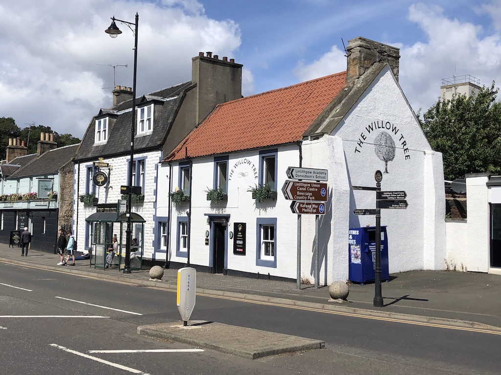
Katie Wearie’s Tree was a named Linlithgow memorial to a drover girl, preserved in an early twentieth-century postcard even though little else is k…
- Near Perth and Kinross
Building or ruin · Medieval
Linlithgow Palace
West Lothian
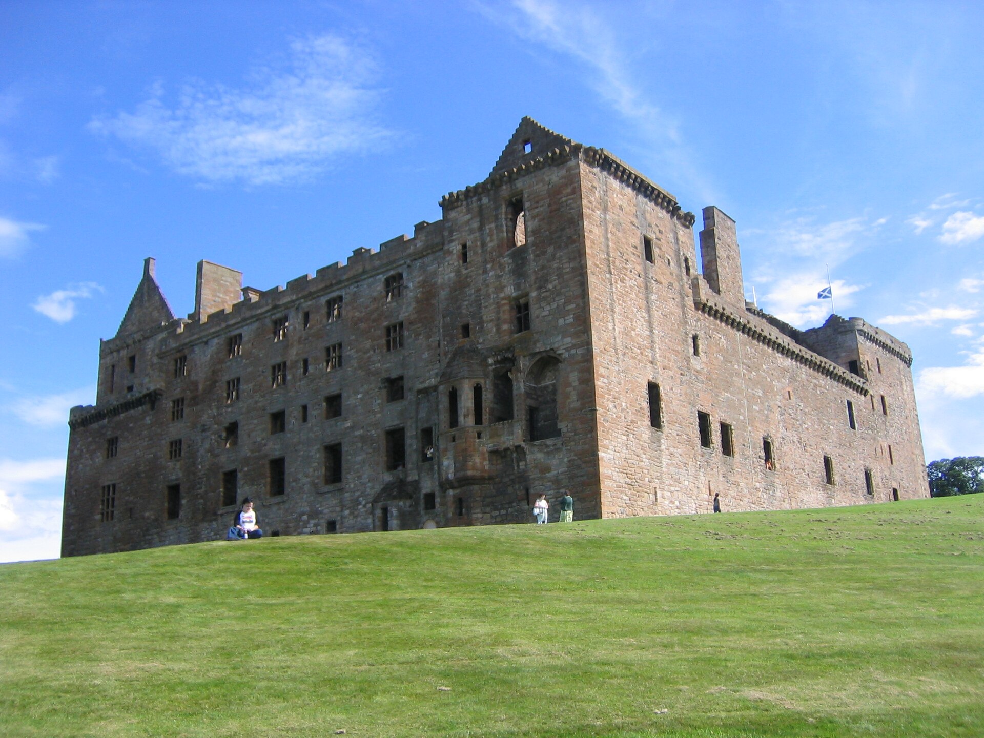
Taken back from the English by a hay merchant in 1313, birthplace of Mary Queen of Scots, and burned by accident in 1746.
- Near Linlithgow
Building or ruin · Medieval
Bridgeness Slab
Falkirk
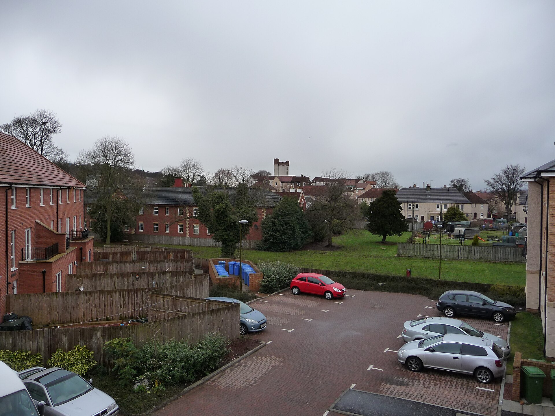
The Bridgeness Slab is the most detailed surviving Antonine Wall distance slab, combining a precise construction record with vivid Roman imagery of…
- Easy path
Questions people ask
- What is known about Inveravon as a Roman fort site?
- No. It has long been regarded as a likely Antonine Wall fort, but the source calls it one of the most doubtful fort sites on the Wall.
- What Roman evidence has been found at Inveravon?
- Excavation and geophysics found foundations, cobbled surfaces, stone walls, a section of the Military Way and possible signal or beacon-tower expansions.
- What do the nearby marching camps show?
- Two temporary camps were identified from 1950s aerial photographs and a third in 1960, showing wider Roman military activity south of the Wall.
Sources
Explore more: Fortified places · Roman · Falkirk
The Ancient Codex, in your pocket
Get the Pocket Codex app
Carry the directory with you — Inveravon and thousands of ancient places across Britain and Ireland, offline, wherever you roam.